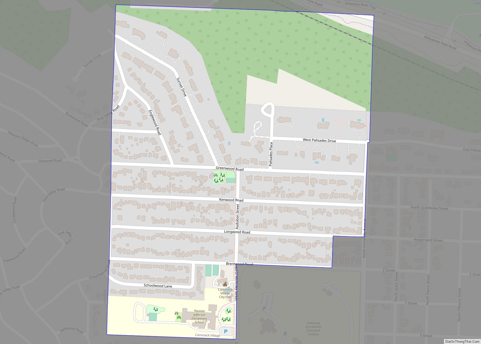
Cammack Village is a city in Pulaski County, Arkansas, United States. The population was 768 at the 2010 census. It is part of the Little Rock–North Little Rock–Conway metropolitan area.
| Name: | Cammack Village city |
|---|---|
| LSAD Code: | 25 |
| LSAD Description: | city (suffix) |
| State: | Arkansas |
| County: | Pulaski County |
| Incorporated: | 1943 |
| Elevation: | 505 ft (154 m) |
| Total Area: | 0.28 sq mi (0.73 km²) |
| Land Area: | 0.28 sq mi (0.73 km²) |
| Water Area: | 0.00 sq mi (0.00 km²) |
| Total Population: | 778 |
| Population Density: | 2,749.12/sq mi (1,061.67/km²) |
| ZIP code: | 72207 |
| Area code: | 501 |
| FIPS code: | 0510780 |
| GNISfeature ID: | 0057496 |
| Website: | http://cammackvillage.org |
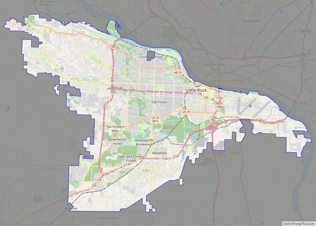
Online Interactive Map
Click on ![]() to view map in "full screen" mode.
to view map in "full screen" mode.
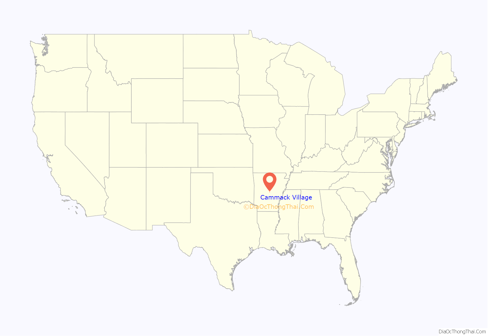
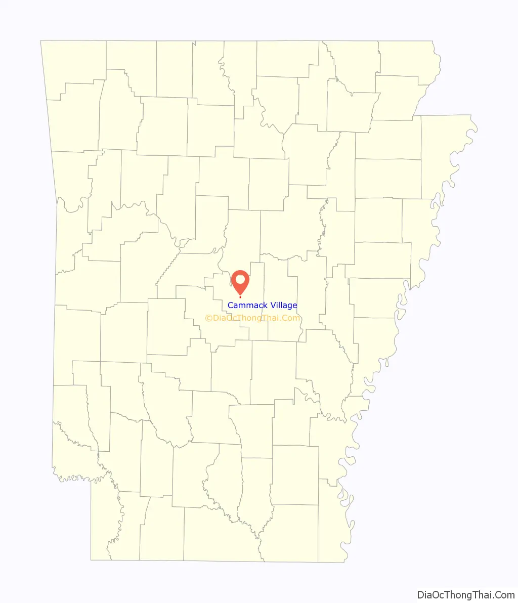
Cammack Village location map. Where is Cammack Village city?
History
Cammack Village is located on land originally owned by Wiley Dan Cammack. During the 1930s, Cammack allowed the land to be used for a Works Progress Administration roads project. Sometime before 1943, Cammack attempted to have the land annexed by the city of Little Rock, which lay to the east, but the city demurred, stating the land was “too far west”. Shortly after that, during World War II, Cammack turned the land over to the United States Government to alleviate military housing shortages at Camp Joseph T. Robinson, Little Rock’s primary Army training base at the time. The houses were laid out in rows and built with 870 square feet (81 m) per unit, according to U.S. Army specifications for family housing. In order to provide for police and fire protection, Cammack pushed for the incorporation of the new neighborhood, which occurred on April 5, 1943.
Annexation efforts continued beyond Wiley Dan Cammack’s first attempt. On October 3, 1946, supporters of annexation from both Little Rock and Cammack Village presented a petition for the annexation of Cammack Village to the city of Little Rock to the county clerk of Pulaski County. The petition was approved by the City Council of Little Rock, and the county court ordered that an election be held to determine the will of the voters of both Little Rock and Cammack Village in regard to annexation.
The election was held on November 19, 1946. The returns, as canvassed by the county court, showed that in Little Rock 308 electors voted for the proposed annexation and 112 electors voted against it, and that in Cammack Village 141 electors voted for the annexation and 139 electors voted against it. Because the proposal received a majority of the votes cast in each municipality, on November 26, 1946, Judge L. A. Mashburn issued an order annexing the city.
Following the order, John Coryn, an opponent of annexation, filed suit in the Third Division Circuit Court contesting the election. In his complaint, he alleged that the petition for annexation was improperly filed with the county clerk prior to its presentation to the City Council of Little Rock, that an insufficient number of electors signed this petition, that the officials holding said election were not properly named, and that seven of the 141 persons who voted in favor of said annexation in Cammack Village were not qualified voters. Coryn sought a judgment declaring that the proposal had failed to carry and that the order of annexation was invalid. The court ultimately directed that the cause be put in abeyance to allow proponents of the annexation the opportunity to file a writ of prohibition, which they did on February 10, 1947. See Russell v. Cockrill, 199 S.W.2d 584 (Ark. 1947). This writ, however, was ultimately denied, and Coryn and other opponents of the annexation prevailed.
The city became an example of an enclave, as it is completely surrounded by Little Rock. The city relies upon Little Rock for its water, sewer, power services, and fire protection services. As of January 1, 2014, BFI Waste Services, LLC provides sanitation services for the city. Cammack Village maintains a police force of three full-time and five part-time officers. City government consists of an elected mayor and aldermen, along with a city attorney, recorder, and treasurer. The city maintains two parks, and Jefferson Elementary School of the Little Rock School District is located within its borders.
On April 3, 2008, Cammack Village was a topic of national discussion as it was ravaged by an EF1 tornado that passed through northern Little Rock.
On March 31, 2023, a large portion of Cammack Village sustained severe damage as a result of an EF3 tornado.
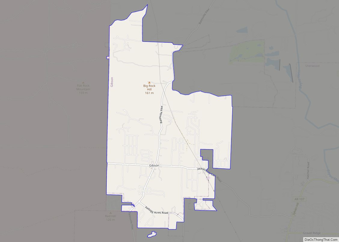
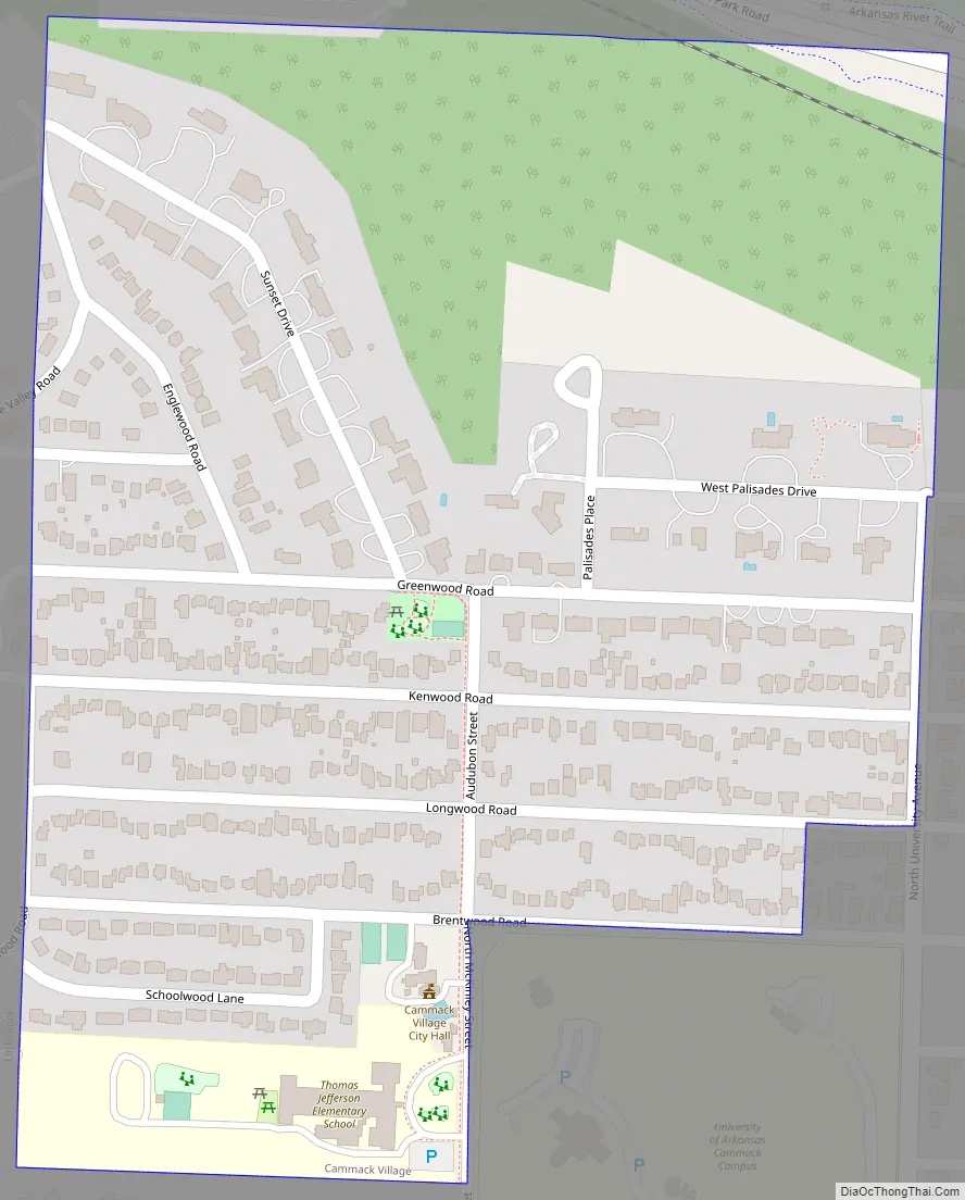
Cammack Village Road Map
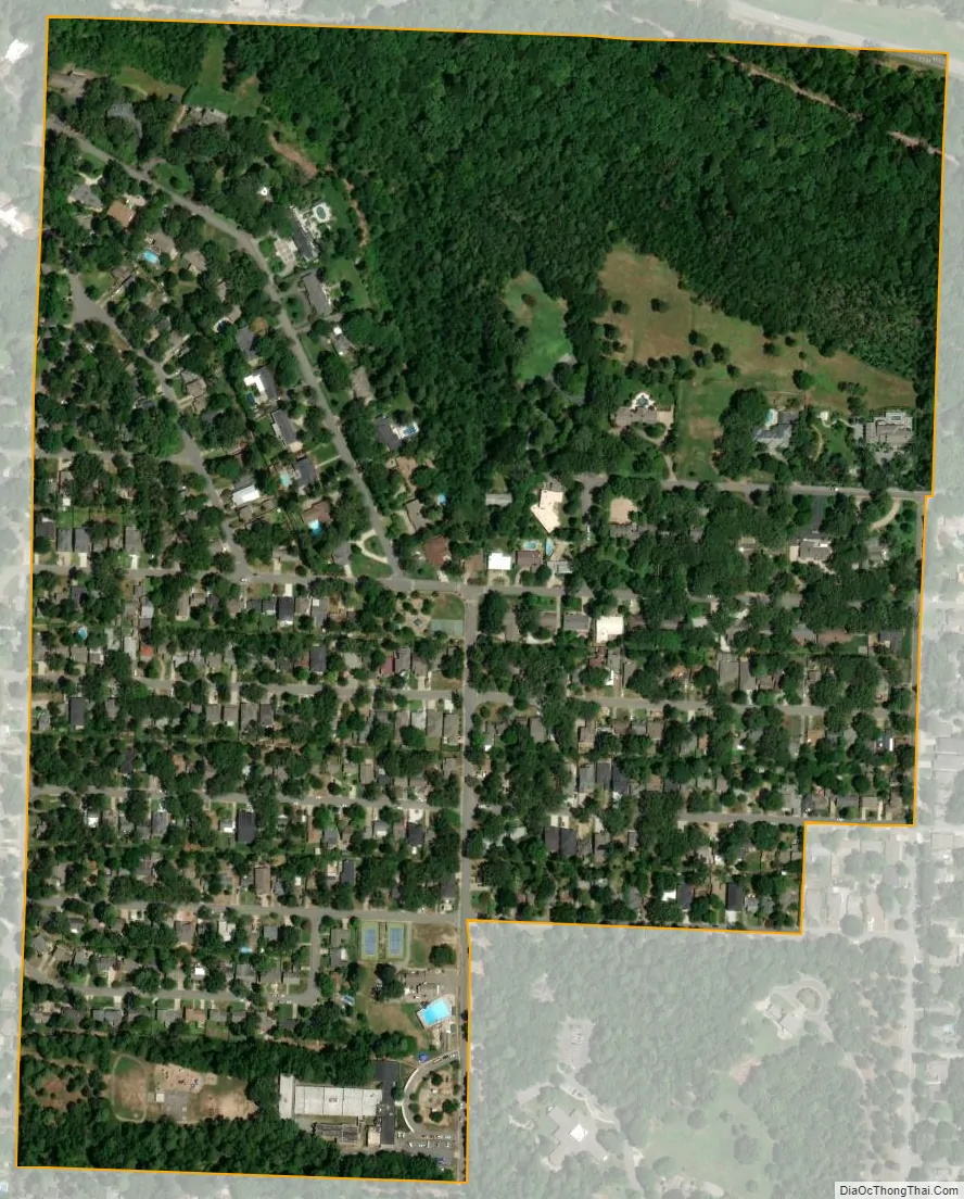
Cammack Village city Satellite Map
Geography
Cammack Village is located at 34°46′48″N 92°20′49″W / 34.78000°N 92.34694°W / 34.78000; -92.34694 (34.779941, -92.346932).
According to the United States Census Bureau, the city has a total area of 0.3 square miles (0.78 km), all land.
See also
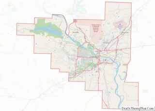
Map of Arkansas State and its subdivision:- Arkansas
- Ashley
- Baxter
- Benton
- Boone
- Bradley
- Calhoun
- Carroll
- Chicot
- Clark
- Clay
- Cleburne
- Cleveland
- Columbia
- Conway
- Craighead
- Crawford
- Crittenden
- Cross
- Dallas
- Desha
- Drew
- Faulkner
- Franklin
- Fulton
- Garland
- Grant
- Greene
- Hempstead
- Hot Spring
- Howard
- Independence
- Izard
- Jackson
- Jefferson
- Johnson
- Lafayette
- Lawrence
- Lee
- Lincoln
- Little River
- Logan
- Lonoke
- Madison
- Marion
- Miller
- Mississippi
- Monroe
- Montgomery
- Nevada
- Newton
- Ouachita
- Perry
- Phillips
- Pike
- Poinsett
- Polk
- Pope
- Prairie
- Pulaski
- Randolph
- Saint Francis
- Saline
- Scott
- Searcy
- Sebastian
- Sevier
- Sharp
- Stone
- Union
- Van Buren
- Washington
- White
- Woodruff
- Yell
- Alabama
- Alaska
- Arizona
- Arkansas
- California
- Colorado
- Connecticut
- Delaware
- District of Columbia
- Florida
- Georgia
- Hawaii
- Idaho
- Illinois
- Indiana
- Iowa
- Kansas
- Kentucky
- Louisiana
- Maine
- Maryland
- Massachusetts
- Michigan
- Minnesota
- Mississippi
- Missouri
- Montana
- Nebraska
- Nevada
- New Hampshire
- New Jersey
- New Mexico
- New York
- North Carolina
- North Dakota
- Ohio
- Oklahoma
- Oregon
- Pennsylvania
- Rhode Island
- South Carolina
- South Dakota
- Tennessee
- Texas
- Utah
- Vermont
- Virginia
- Washington
- West Virginia
- Wisconsin
- Wyoming