Centerton is a city in Benton County, Arkansas, United States. Located west of Bentonville on Highway 102, Centerton has grown from a railroad stop and fruit orchard community in the early 20th century into a suburban bedroom community within the rapidly growing Northwest Arkansas (NWA) region. The city’s population has grown from 491 in 1990 to 16,244 in 2019. Centerton is considered to be one of the fastest growing cities in Arkansas and consistently ranks amongst the most safest cities in the state.
| Name: | Centerton city |
|---|---|
| LSAD Code: | 25 |
| LSAD Description: | city (suffix) |
| State: | Arkansas |
| County: | Benton County |
| Elevation: | 1,253 ft (382 m) |
| Total Area: | 13.78 sq mi (35.69 km²) |
| Land Area: | 13.64 sq mi (35.33 km²) |
| Water Area: | 0.14 sq mi (0.35 km²) |
| Total Population: | 17,792 |
| Population Density: | 1,304.21/sq mi (503.56/km²) |
| ZIP code: | 72719 |
| Area code: | 479 |
| FIPS code: | 0512820 |
| GNISfeature ID: | 0076573 |
| Website: | www.centertonar.us |
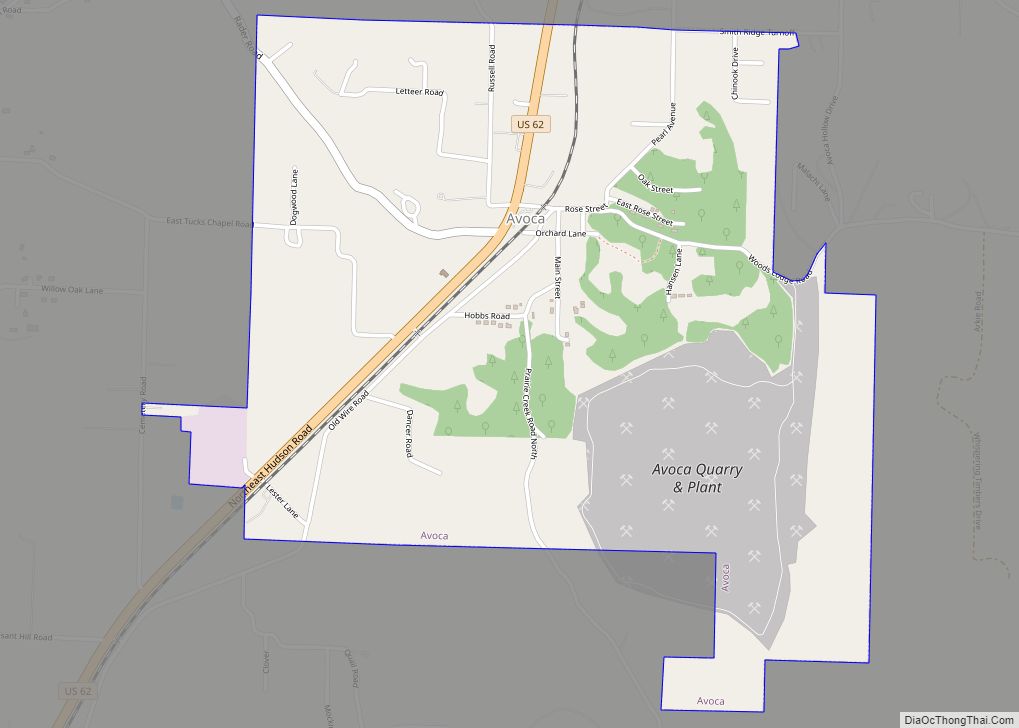
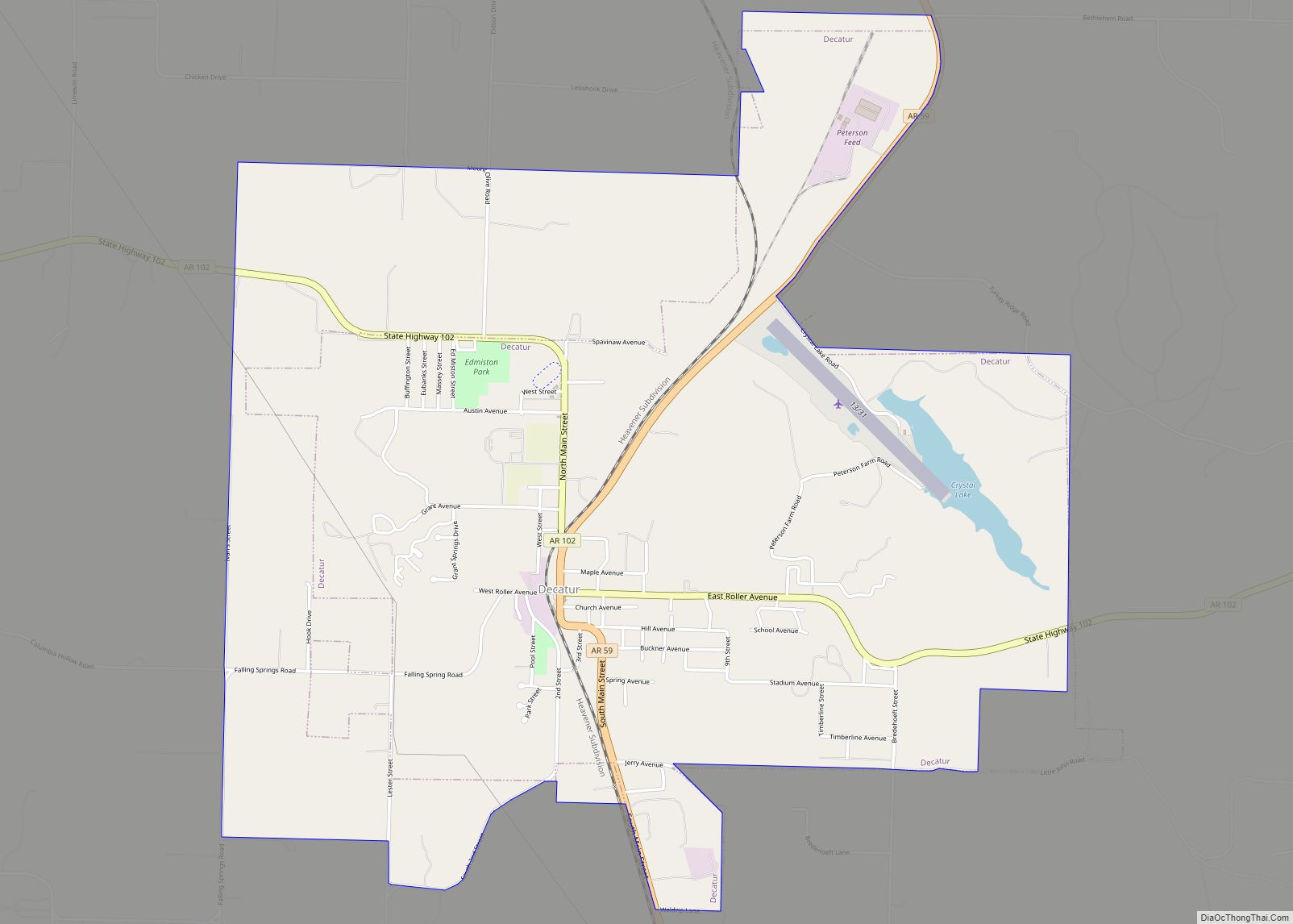
Online Interactive Map
Click on ![]() to view map in "full screen" mode.
to view map in "full screen" mode.
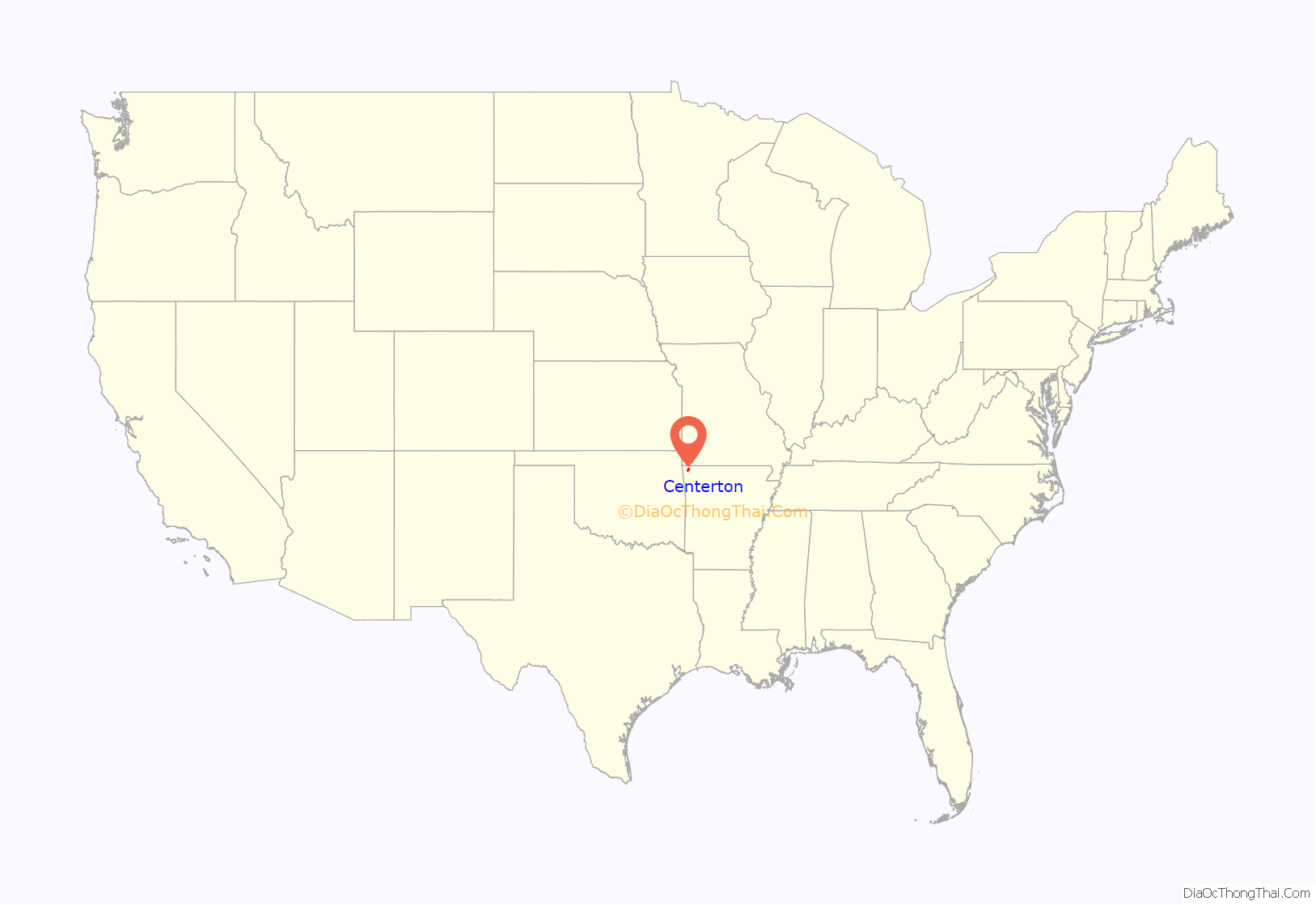
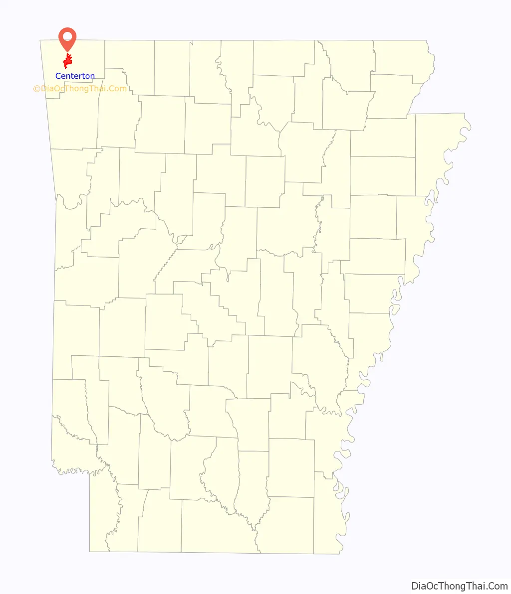
Centerton location map. Where is Centerton city?
History
Native American hunters and early settlers were drawn to present-day Centerton by natural springs, including what is now known as McKissick Spring. In the Antebellum South era, an early church and school built along the spring were named Center Point, for the community’s central location in Benton County. Though the area did not see any formal action during the Civil War, Union troops camped at McKissick Spring on March 5, 1862, shortly before the Battle of Pea Ridge.
After the Reconstruction era, the Arkansas-Oklahoma Railroad Company connected Rogers, Arkansas and Grove, Oklahoma through western Benton County. The railroad opened the apple and strawberry orchards of the county to new markets, bringing economic prosperity, development, and population growth to the region. Upon laying out the town in 1900, the name was changed to Centerton, as Center Point was already registered in Howard County.
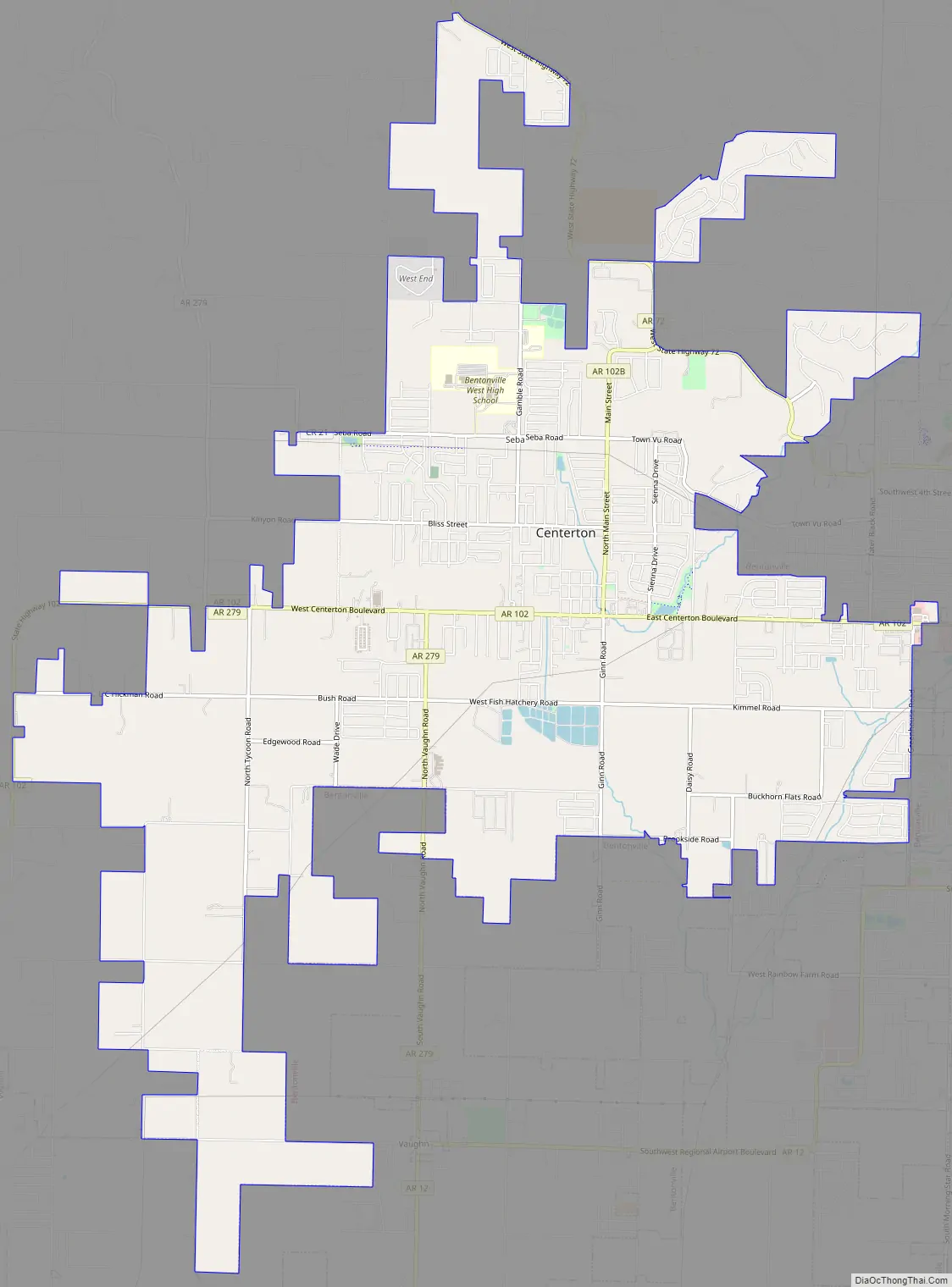
Centerton Road Map
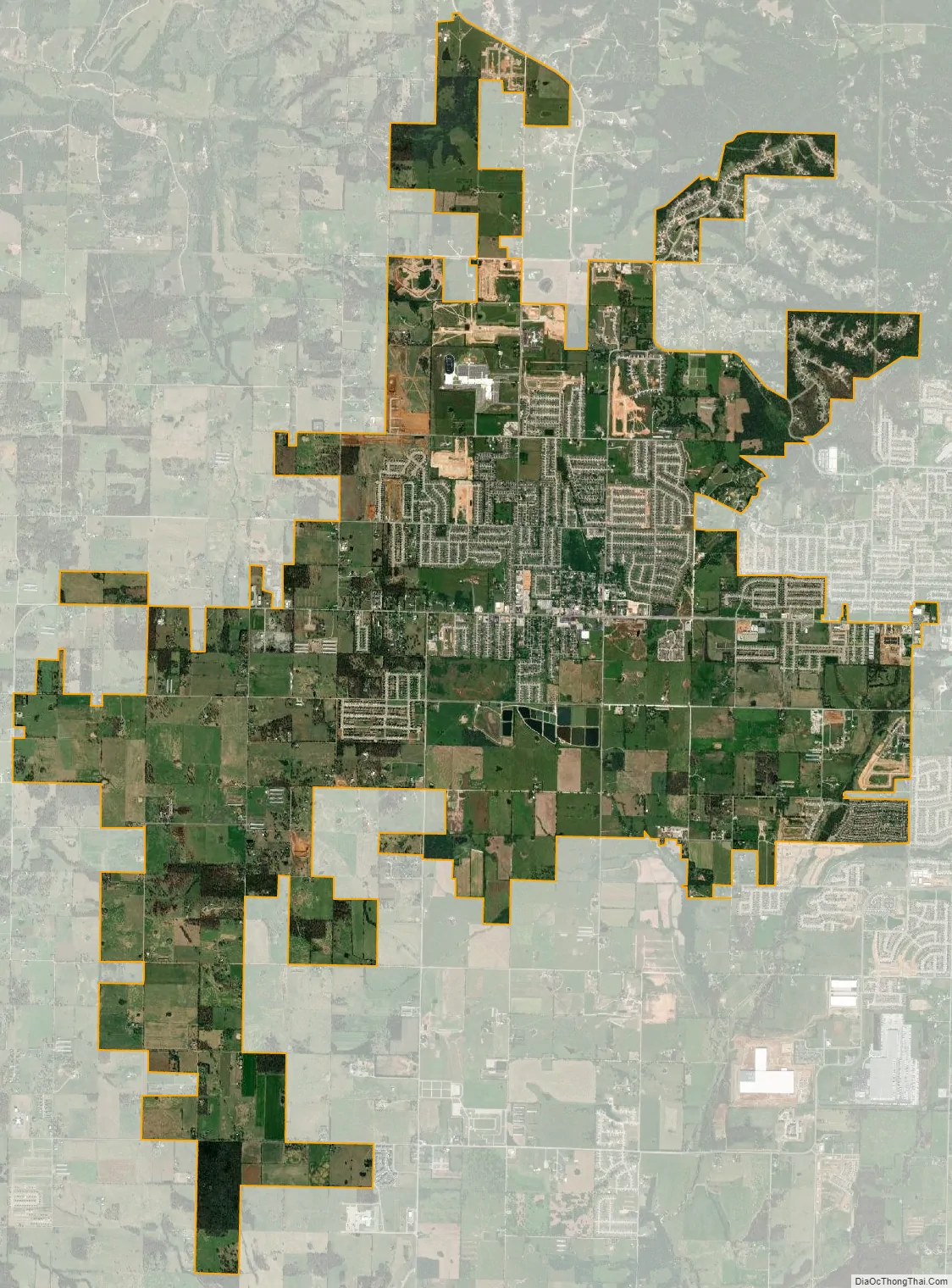
Centerton city Satellite Map
Geography
Centerton is located near the center of Benton County at 36°21′42″N 94°17′12″W / 36.36167°N 94.28667°W / 36.36167; -94.28667 (36.361541, -94.286543). Arkansas Highway 102 runs through the center of the city and leads east 5 miles (8 km) to Bentonville and west 11 miles (18 km) to Decatur.
The city has a total area of 11.9 square miles (30.8 km), of which 11.7 square miles (30.4 km) is land and 0.12 square miles (0.3 km), or 1.13%, is water.
Region
The Northwest Arkansas region consists of three Arkansas counties: Benton, Madison, and Washington. The area had a population of 347,045 at the 2000 census which had increased to 463,204 by the 2010 Census (an increase of 33.47 percent). The region does not consist of the usual principal-city-with-suburbs morphology; though today Centerton is largely a suburb of Bentonville. The Northwest Arkansas Regional Airport is located south of Centerton and is used to connect all of the Northwest Arkansas region to the rest of the nation. For more than the last decade, Northwest Arkansas has been one of the fastest-growing regions in the United States.
See also
Map of Arkansas State and its subdivision:- Arkansas
- Ashley
- Baxter
- Benton
- Boone
- Bradley
- Calhoun
- Carroll
- Chicot
- Clark
- Clay
- Cleburne
- Cleveland
- Columbia
- Conway
- Craighead
- Crawford
- Crittenden
- Cross
- Dallas
- Desha
- Drew
- Faulkner
- Franklin
- Fulton
- Garland
- Grant
- Greene
- Hempstead
- Hot Spring
- Howard
- Independence
- Izard
- Jackson
- Jefferson
- Johnson
- Lafayette
- Lawrence
- Lee
- Lincoln
- Little River
- Logan
- Lonoke
- Madison
- Marion
- Miller
- Mississippi
- Monroe
- Montgomery
- Nevada
- Newton
- Ouachita
- Perry
- Phillips
- Pike
- Poinsett
- Polk
- Pope
- Prairie
- Pulaski
- Randolph
- Saint Francis
- Saline
- Scott
- Searcy
- Sebastian
- Sevier
- Sharp
- Stone
- Union
- Van Buren
- Washington
- White
- Woodruff
- Yell
- Alabama
- Alaska
- Arizona
- Arkansas
- California
- Colorado
- Connecticut
- Delaware
- District of Columbia
- Florida
- Georgia
- Hawaii
- Idaho
- Illinois
- Indiana
- Iowa
- Kansas
- Kentucky
- Louisiana
- Maine
- Maryland
- Massachusetts
- Michigan
- Minnesota
- Mississippi
- Missouri
- Montana
- Nebraska
- Nevada
- New Hampshire
- New Jersey
- New Mexico
- New York
- North Carolina
- North Dakota
- Ohio
- Oklahoma
- Oregon
- Pennsylvania
- Rhode Island
- South Carolina
- South Dakota
- Tennessee
- Texas
- Utah
- Vermont
- Virginia
- Washington
- West Virginia
- Wisconsin
- Wyoming