Delaplaine is a town in Greene County, Arkansas, United States. The population was 116 at the time of the 2010 census.
| Name: | Delaplaine town |
|---|---|
| LSAD Code: | 43 |
| LSAD Description: | town (suffix) |
| State: | Arkansas |
| County: | Greene County |
| Elevation: | 279 ft (85 m) |
| Total Area: | 1.11 sq mi (2.86 km²) |
| Land Area: | 1.11 sq mi (2.86 km²) |
| Water Area: | 0.00 sq mi (0.00 km²) |
| Total Population: | 64 |
| Population Density: | 57.87/sq mi (22.34/km²) |
| ZIP code: | 72425 |
| Area code: | 870 |
| FIPS code: | 0518010 |
| GNISfeature ID: | 0076777 |
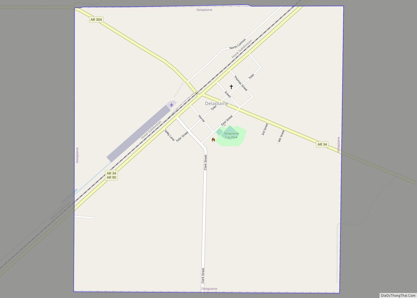
Online Interactive Map
Click on ![]() to view map in "full screen" mode.
to view map in "full screen" mode.
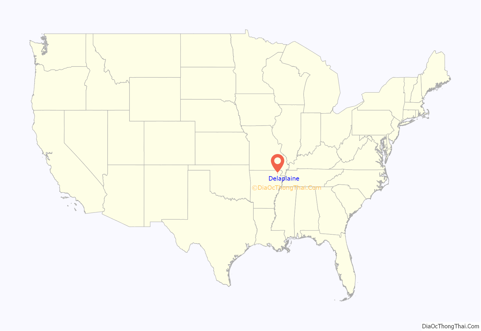
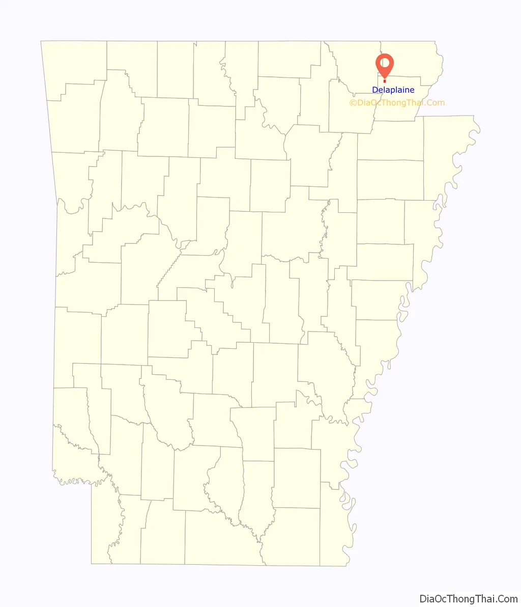
Delaplaine location map. Where is Delaplaine town?
History
A French trading post may have operated at the current site of Delaplaine prior to the Louisiana Purchase in 1803. The name is French for “of the plain,” and was written as three words (De La Plaine) for many years. When the St. Louis, Iron Mountain and Southern Railway constructed a line through the area in the 1870s, a stop known as “Grey’s Station” was established, named for one of the few female postmasters in the state at the time, Lizzie Grey. The town reverted to the name “Delaplaine” in 1875. Delaplaine incorporated in 1912.
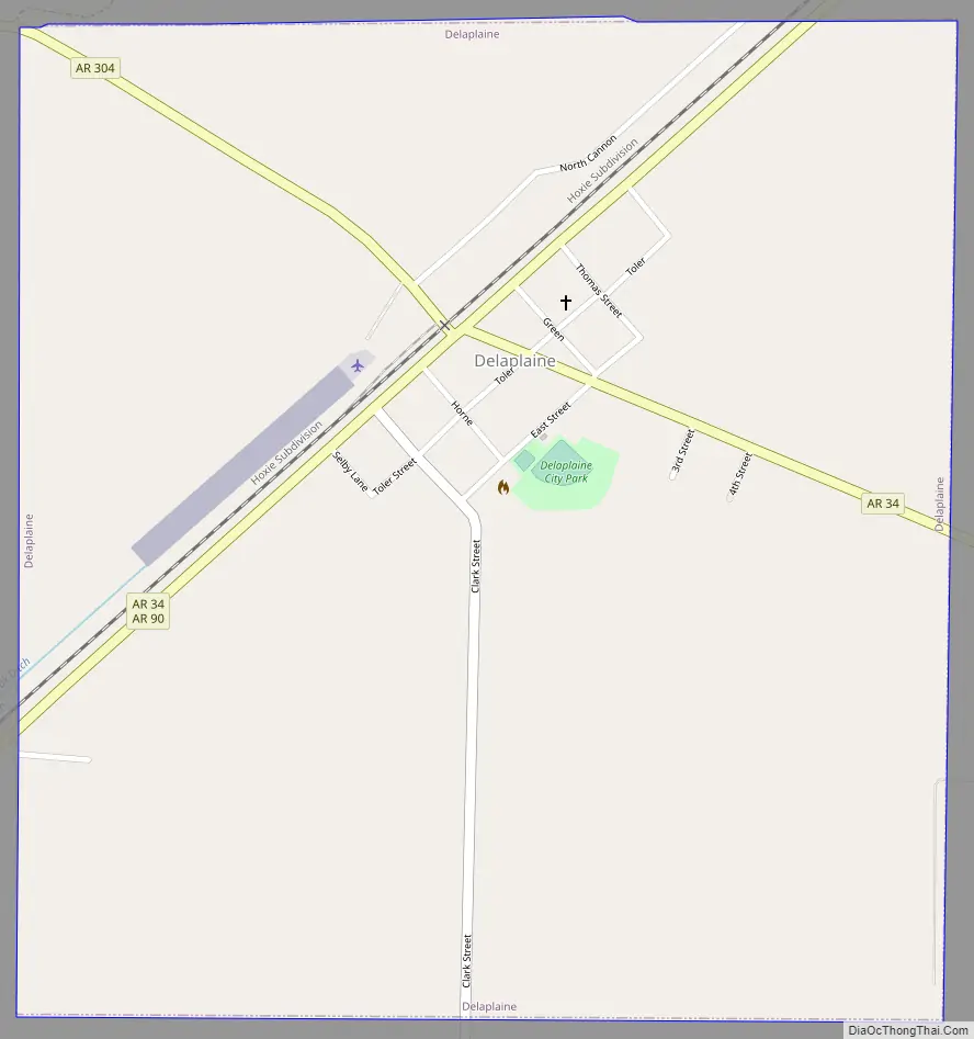
Delaplaine Road Map
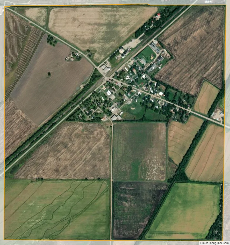
Delaplaine city Satellite Map
Geography
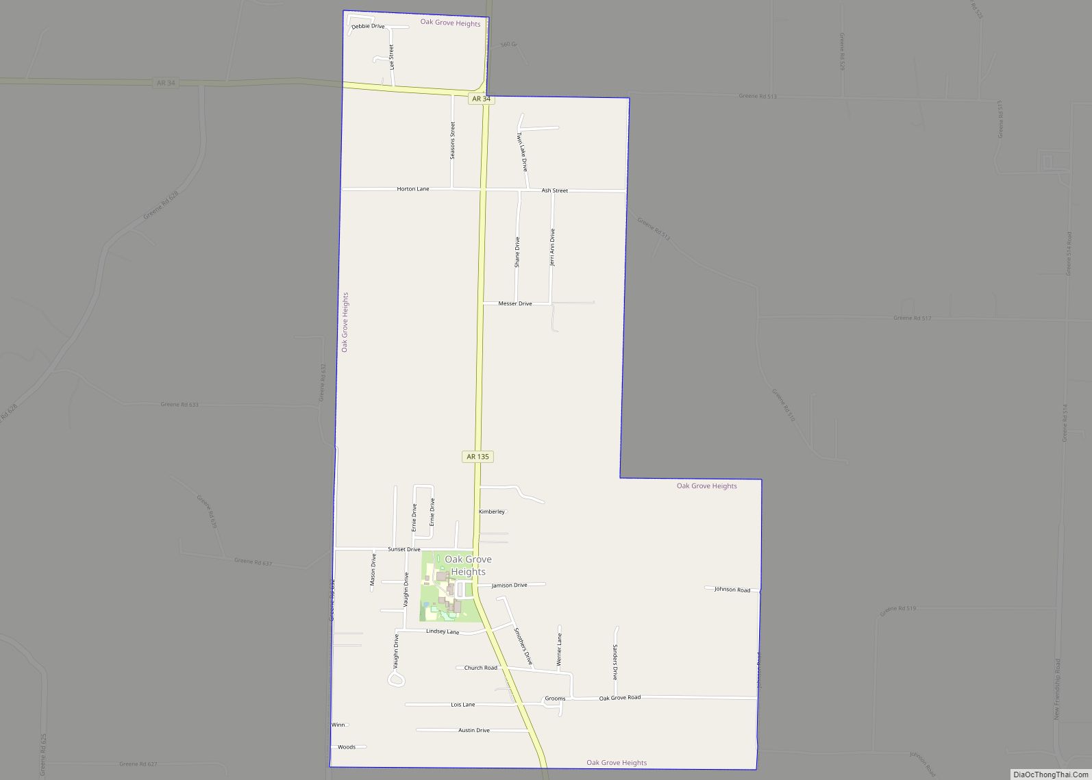
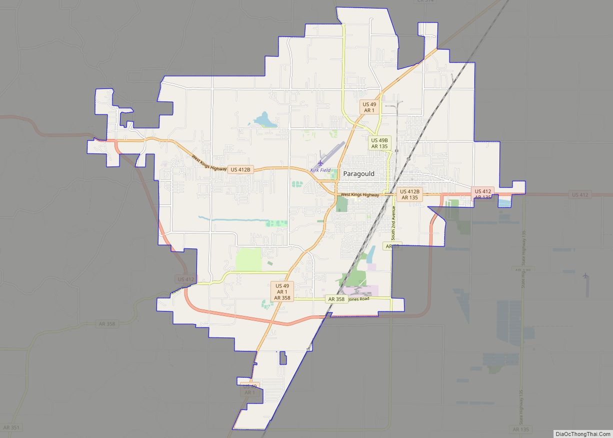
Delaplaine is located in northwestern Greene County at 36°13′58″N 90°43′33″W / 36.23278°N 90.72583°W / 36.23278; -90.72583 (36.232701, -90.725807). Arkansas Highway 90 passes through the town, leading northeast, then east, 31 miles (50 km) to Rector, and southwest, then northwest, 21 miles (34 km) to Pocahontas. Arkansas Highway 34 leads southeast from the center of town 16 miles (26 km) to Oak Grove Heights. Paragould, the Greene County seat, is 23 miles (37 km) to the southeast via Highways 34 and 135. Highway 34 joins Highway 90 to the southwest from Delaplaine and leads 17 miles (27 km) to Walnut Ridge. Arkansas Highway 304 leads west from Delaplaine on a more direct route of 16 miles (26 km) to Pocahontas.
Delaplaine is 4 miles (6 km) south of the Black River, and about 2 miles (3.2 km) north of the Cache River.
According to the United States Census Bureau, the town of Delaplaine has a total area of 1.1 square miles (2.9 km), all land.
See also
Map of Arkansas State and its subdivision:- Arkansas
- Ashley
- Baxter
- Benton
- Boone
- Bradley
- Calhoun
- Carroll
- Chicot
- Clark
- Clay
- Cleburne
- Cleveland
- Columbia
- Conway
- Craighead
- Crawford
- Crittenden
- Cross
- Dallas
- Desha
- Drew
- Faulkner
- Franklin
- Fulton
- Garland
- Grant
- Greene
- Hempstead
- Hot Spring
- Howard
- Independence
- Izard
- Jackson
- Jefferson
- Johnson
- Lafayette
- Lawrence
- Lee
- Lincoln
- Little River
- Logan
- Lonoke
- Madison
- Marion
- Miller
- Mississippi
- Monroe
- Montgomery
- Nevada
- Newton
- Ouachita
- Perry
- Phillips
- Pike
- Poinsett
- Polk
- Pope
- Prairie
- Pulaski
- Randolph
- Saint Francis
- Saline
- Scott
- Searcy
- Sebastian
- Sevier
- Sharp
- Stone
- Union
- Van Buren
- Washington
- White
- Woodruff
- Yell
- Alabama
- Alaska
- Arizona
- Arkansas
- California
- Colorado
- Connecticut
- Delaware
- District of Columbia
- Florida
- Georgia
- Hawaii
- Idaho
- Illinois
- Indiana
- Iowa
- Kansas
- Kentucky
- Louisiana
- Maine
- Maryland
- Massachusetts
- Michigan
- Minnesota
- Mississippi
- Missouri
- Montana
- Nebraska
- Nevada
- New Hampshire
- New Jersey
- New Mexico
- New York
- North Carolina
- North Dakota
- Ohio
- Oklahoma
- Oregon
- Pennsylvania
- Rhode Island
- South Carolina
- South Dakota
- Tennessee
- Texas
- Utah
- Vermont
- Virginia
- Washington
- West Virginia
- Wisconsin
- Wyoming