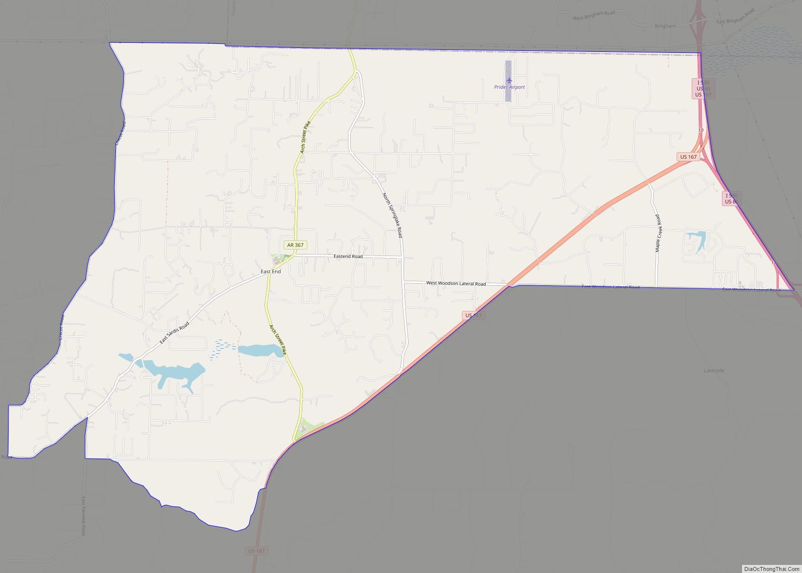
East End is a census-designated place (CDP) in Saline County, Arkansas, United States. The population was 6,998 at the 2010 census. It is part of the Little Rock–North Little Rock–Conway Metropolitan Statistical Area.
| Name: | East End CDP |
|---|---|
| LSAD Code: | 57 |
| LSAD Description: | CDP (suffix) |
| State: | Arkansas |
| County: | Saline County |
| Elevation: | 351 ft (107 m) |
| Total Area: | 20.28 sq mi (52.52 km²) |
| Land Area: | 20.06 sq mi (51.96 km²) |
| Water Area: | 0.21 sq mi (0.56 km²) |
| Total Population: | 7,137 |
| Population Density: | 355.76/sq mi (137.36/km²) |
| ZIP code: | 72065,72206,and 72103 |
| Area code: | 501 |
| FIPS code: | 0520470 |
| GNISfeature ID: | 0048757 |
Online Interactive Map
Click on ![]() to view map in "full screen" mode.
to view map in "full screen" mode.
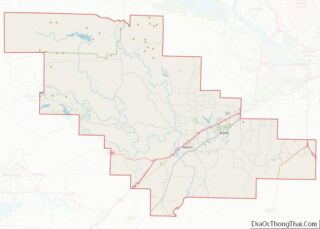
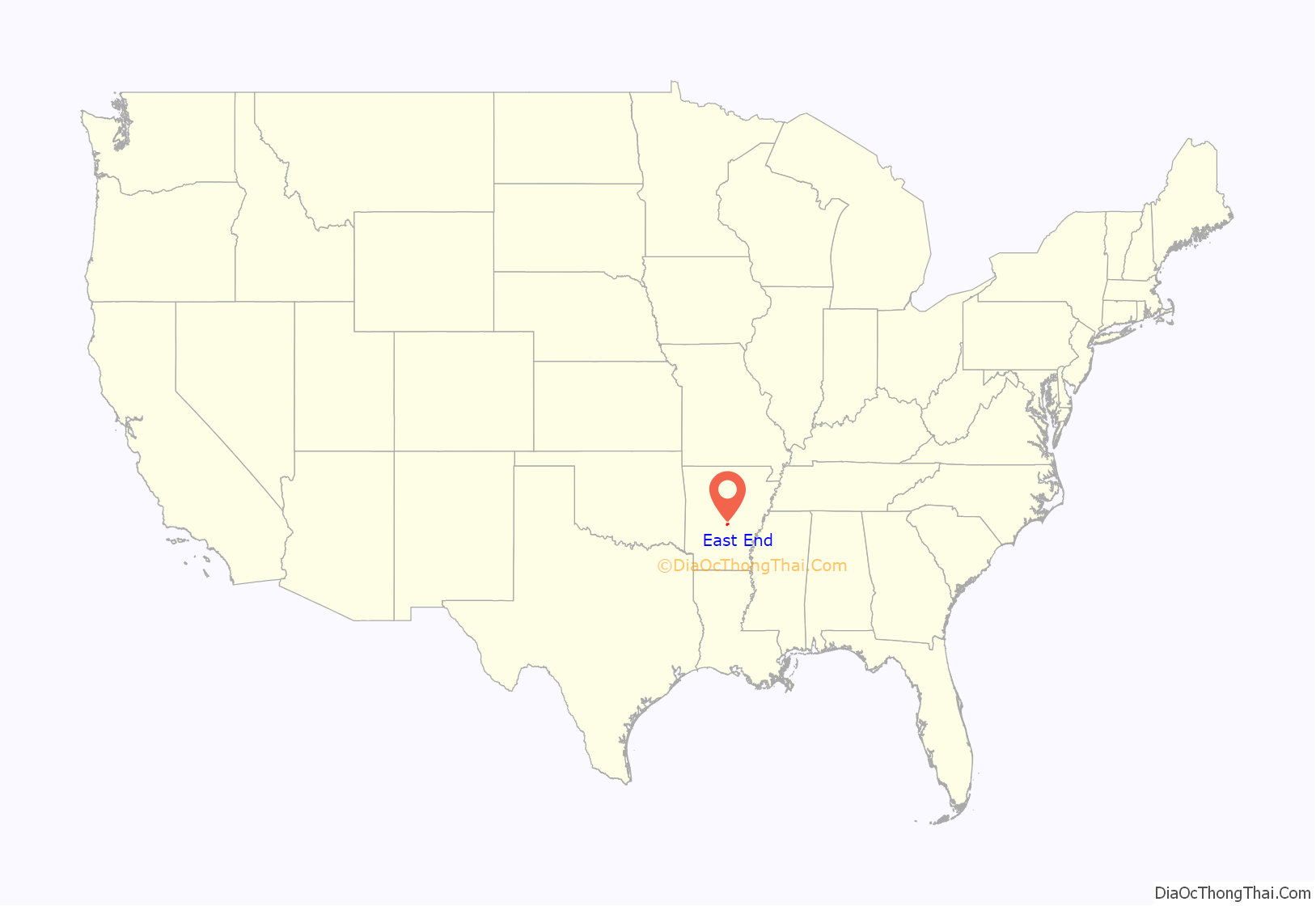
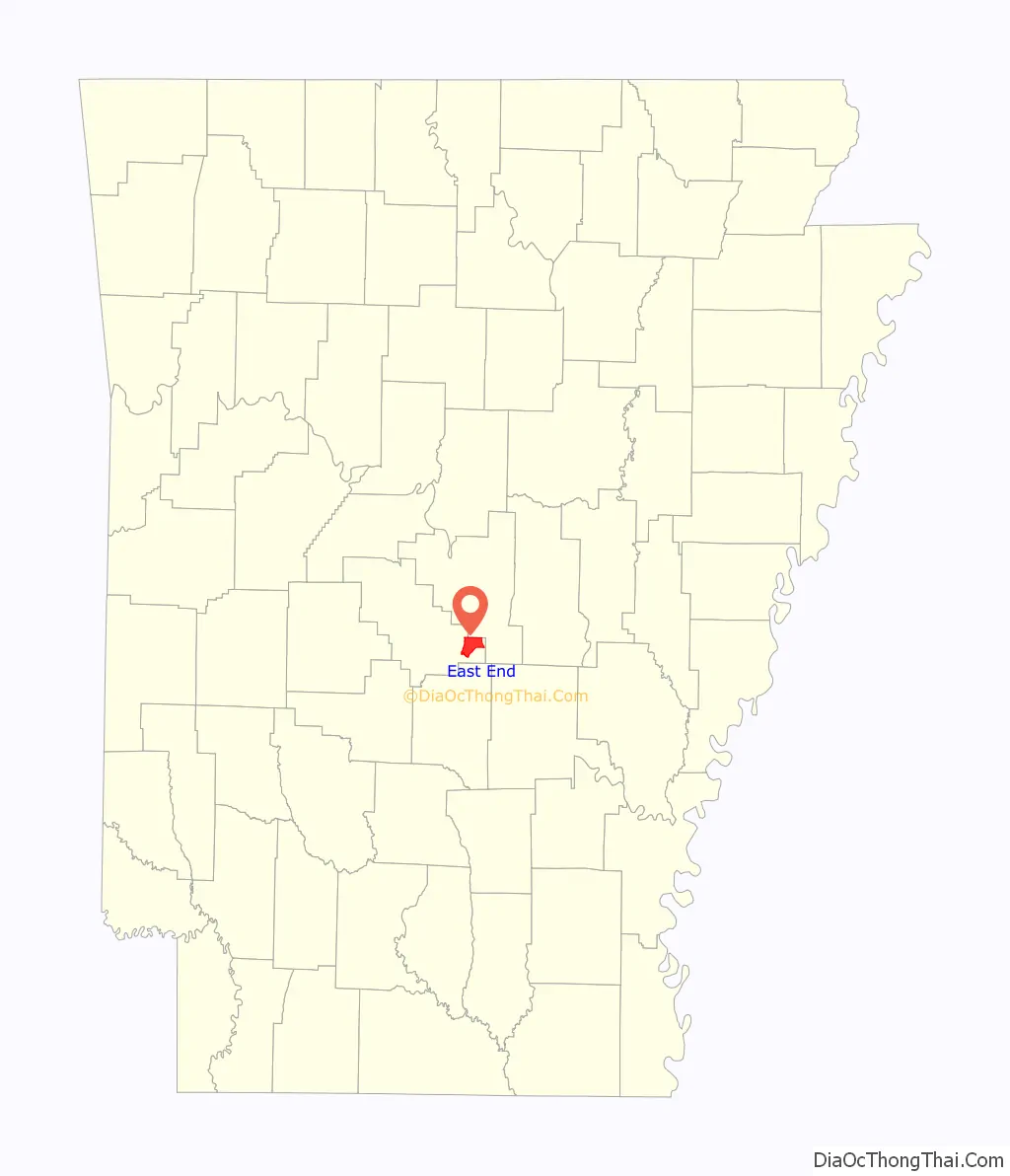
East End location map. Where is East End CDP?
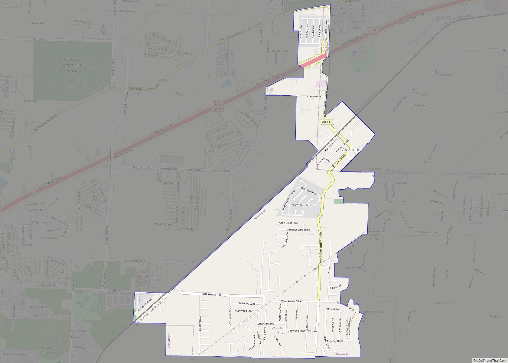
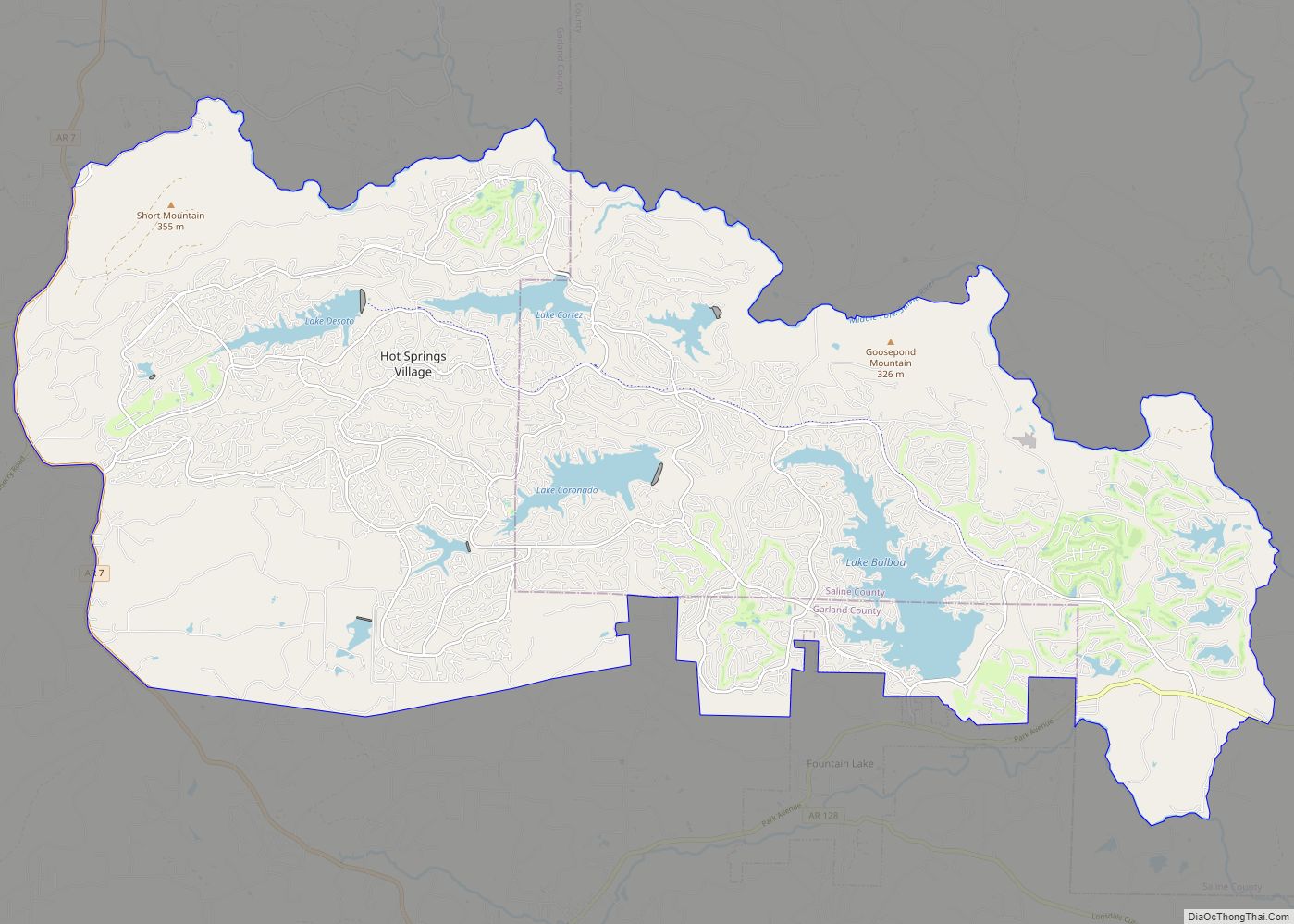
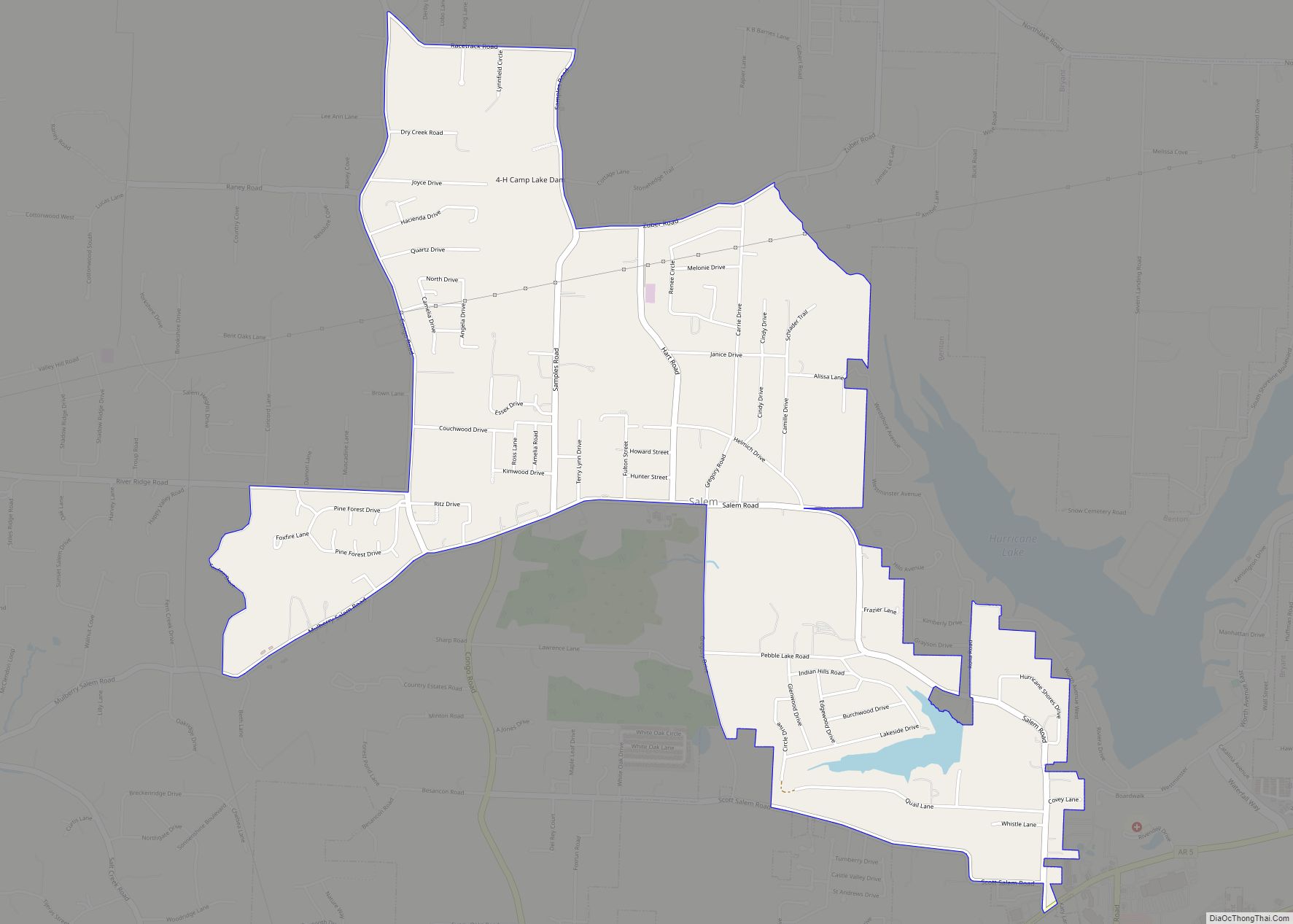
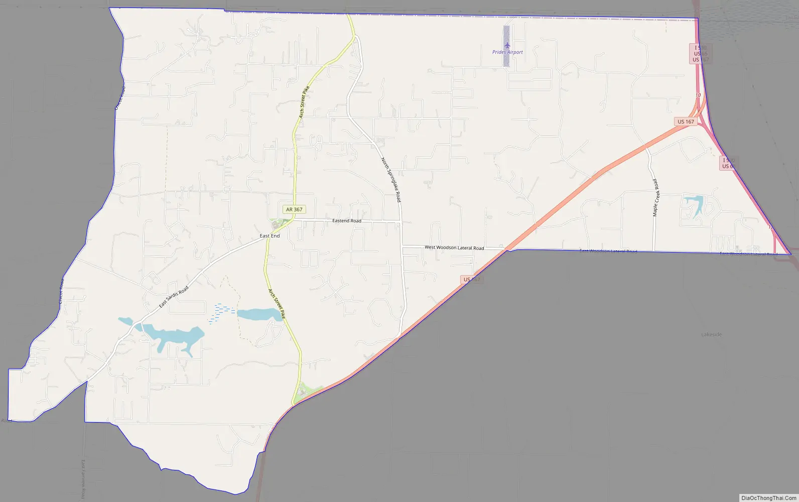
East End Road Map
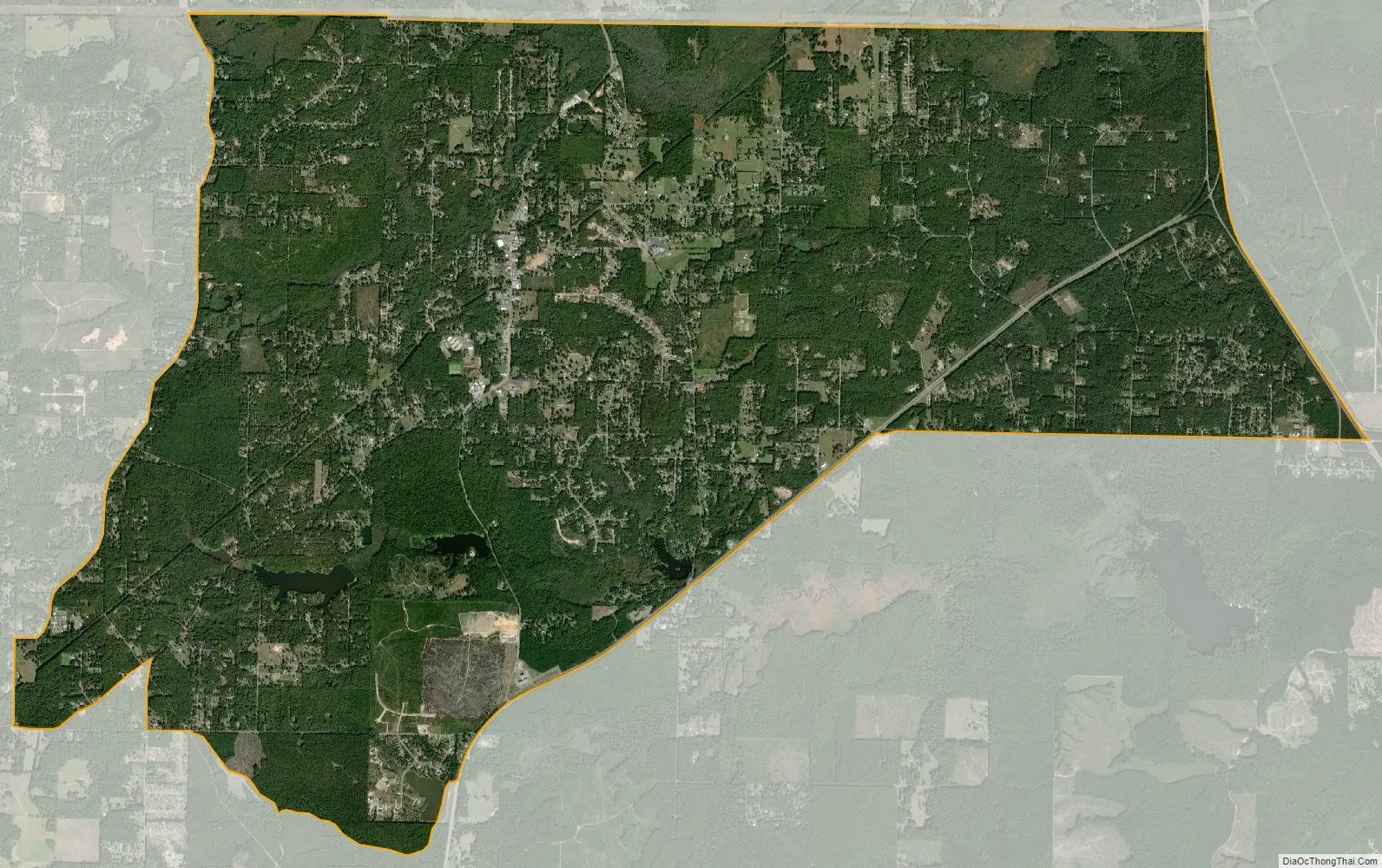
East End city Satellite Map
Geography
East End is located at 34°33′2″N 92°20′8″W / 34.55056°N 92.33556°W / 34.55056; -92.33556 (34.550639, -92.335662). Its nearest neighboring communities are Landmark, Shannon Hills, Bauxite and Sheridan.
According to the United States Census Bureau, the CDP has a total area of 20.3 square miles (53 km), of which 20.1 square miles (52 km) is land and 0.2 square miles (0.52 km) (1.13%) is water.
East End has been the home of Marylake Carmelite Monastery since the 1950s. Scenes from Burt Reynolds’ 1973 movie White Lightning were shot in and around the community.
See also
Map of Arkansas State and its subdivision:- Arkansas
- Ashley
- Baxter
- Benton
- Boone
- Bradley
- Calhoun
- Carroll
- Chicot
- Clark
- Clay
- Cleburne
- Cleveland
- Columbia
- Conway
- Craighead
- Crawford
- Crittenden
- Cross
- Dallas
- Desha
- Drew
- Faulkner
- Franklin
- Fulton
- Garland
- Grant
- Greene
- Hempstead
- Hot Spring
- Howard
- Independence
- Izard
- Jackson
- Jefferson
- Johnson
- Lafayette
- Lawrence
- Lee
- Lincoln
- Little River
- Logan
- Lonoke
- Madison
- Marion
- Miller
- Mississippi
- Monroe
- Montgomery
- Nevada
- Newton
- Ouachita
- Perry
- Phillips
- Pike
- Poinsett
- Polk
- Pope
- Prairie
- Pulaski
- Randolph
- Saint Francis
- Saline
- Scott
- Searcy
- Sebastian
- Sevier
- Sharp
- Stone
- Union
- Van Buren
- Washington
- White
- Woodruff
- Yell
- Alabama
- Alaska
- Arizona
- Arkansas
- California
- Colorado
- Connecticut
- Delaware
- District of Columbia
- Florida
- Georgia
- Hawaii
- Idaho
- Illinois
- Indiana
- Iowa
- Kansas
- Kentucky
- Louisiana
- Maine
- Maryland
- Massachusetts
- Michigan
- Minnesota
- Mississippi
- Missouri
- Montana
- Nebraska
- Nevada
- New Hampshire
- New Jersey
- New Mexico
- New York
- North Carolina
- North Dakota
- Ohio
- Oklahoma
- Oregon
- Pennsylvania
- Rhode Island
- South Carolina
- South Dakota
- Tennessee
- Texas
- Utah
- Vermont
- Virginia
- Washington
- West Virginia
- Wisconsin
- Wyoming