Horseshoe Bend is a city in Fulton, Izard, and Sharp counties in the U.S. state of Arkansas. The population was 2,184 at the 2010 census. It is named for the large loop or horseshoe bend in the nearby Strawberry River.
| Name: | Horseshoe Bend city |
|---|---|
| LSAD Code: | 25 |
| LSAD Description: | city (suffix) |
| State: | Arkansas |
| County: | Fulton County, Izard County, Sharp County |
| Elevation: | 643 ft (196 m) |
| Total Area: | 14.66 sq mi (37.96 km²) |
| Land Area: | 13.36 sq mi (34.60 km²) |
| Water Area: | 1.30 sq mi (3.36 km²) |
| Total Population: | 2,440 |
| Population Density: | 182.62/sq mi (70.51/km²) |
| ZIP code: | 72512 |
| Area code: | 870 |
| FIPS code: | 0533370 |
| GNISfeature ID: | 2404731 |
| Website: | cityofhorseshoebend.wordpress.com |
Online Interactive Map
Click on ![]() to view map in "full screen" mode.
to view map in "full screen" mode.
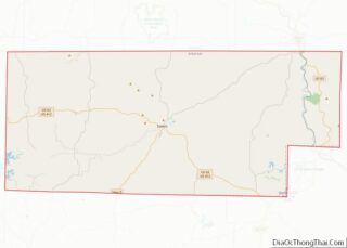
Horseshoe Bend location map. Where is Horseshoe Bend city?
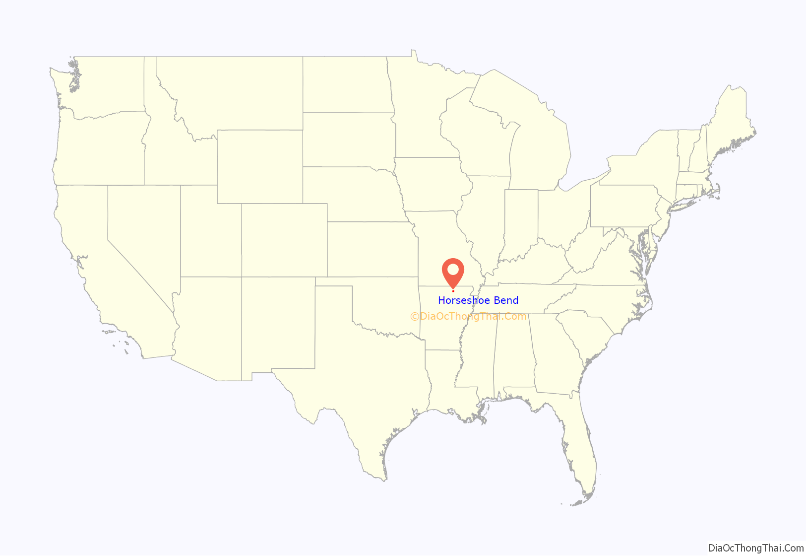

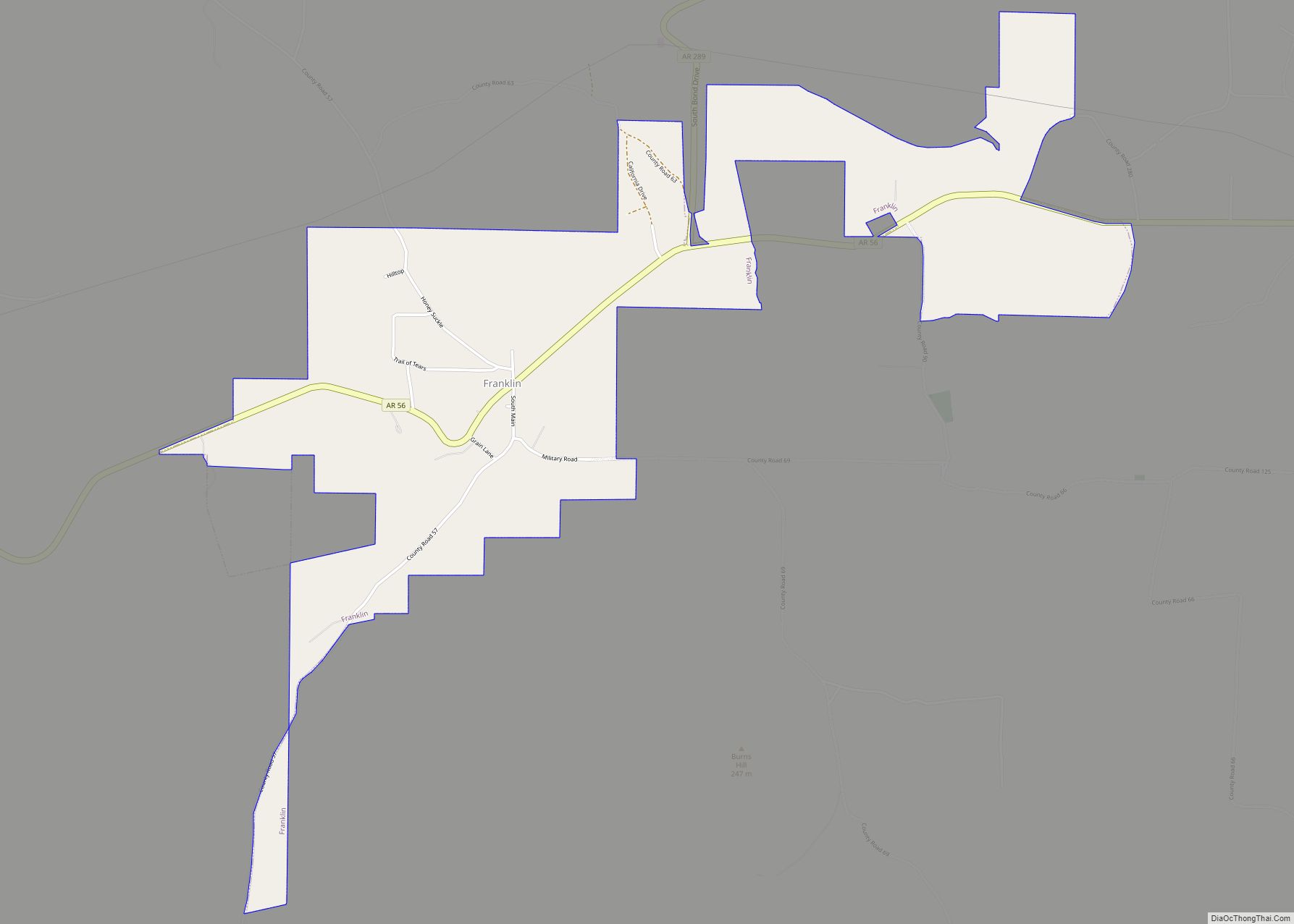
Horseshoe Bend Road Map

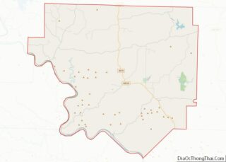
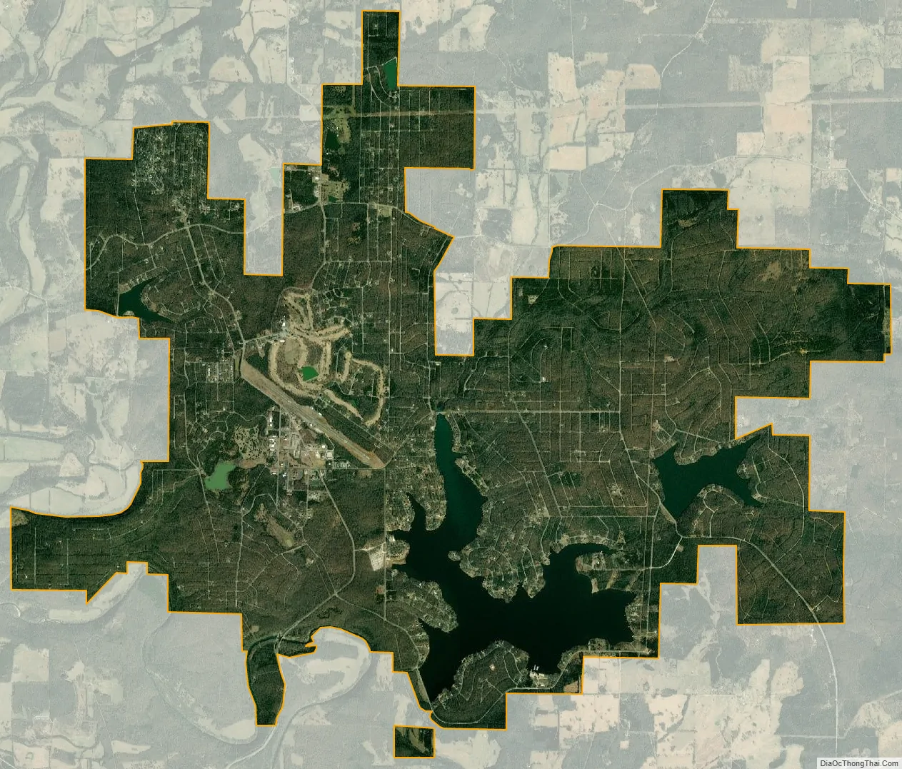
Horseshoe Bend city Satellite Map
Geography
The town is a 3-hour drive to Little Rock, Memphis, and Springfield.
According to the United States Census Bureau, the city has a total area of 14.6 square miles (38 km), of which 13.4 square miles (35 km) is land, and 1.2 square miles (3.1 km) (8.50%) is water.
See also
Map of Arkansas State and its subdivision:- Arkansas
- Ashley
- Baxter
- Benton
- Boone
- Bradley
- Calhoun
- Carroll
- Chicot
- Clark
- Clay
- Cleburne
- Cleveland
- Columbia
- Conway
- Craighead
- Crawford
- Crittenden
- Cross
- Dallas
- Desha
- Drew
- Faulkner
- Franklin
- Fulton
- Garland
- Grant
- Greene
- Hempstead
- Hot Spring
- Howard
- Independence
- Izard
- Jackson
- Jefferson
- Johnson
- Lafayette
- Lawrence
- Lee
- Lincoln
- Little River
- Logan
- Lonoke
- Madison
- Marion
- Miller
- Mississippi
- Monroe
- Montgomery
- Nevada
- Newton
- Ouachita
- Perry
- Phillips
- Pike
- Poinsett
- Polk
- Pope
- Prairie
- Pulaski
- Randolph
- Saint Francis
- Saline
- Scott
- Searcy
- Sebastian
- Sevier
- Sharp
- Stone
- Union
- Van Buren
- Washington
- White
- Woodruff
- Yell
- Alabama
- Alaska
- Arizona
- Arkansas
- California
- Colorado
- Connecticut
- Delaware
- District of Columbia
- Florida
- Georgia
- Hawaii
- Idaho
- Illinois
- Indiana
- Iowa
- Kansas
- Kentucky
- Louisiana
- Maine
- Maryland
- Massachusetts
- Michigan
- Minnesota
- Mississippi
- Missouri
- Montana
- Nebraska
- Nevada
- New Hampshire
- New Jersey
- New Mexico
- New York
- North Carolina
- North Dakota
- Ohio
- Oklahoma
- Oregon
- Pennsylvania
- Rhode Island
- South Carolina
- South Dakota
- Tennessee
- Texas
- Utah
- Vermont
- Virginia
- Washington
- West Virginia
- Wisconsin
- Wyoming