Lewisville is a city in Lafayette County, Arkansas, United States. The population was 1,280 at the 2010 census. It is the county seat of Lafayette County.
| Name: | Lewisville city |
|---|---|
| LSAD Code: | 25 |
| LSAD Description: | city (suffix) |
| State: | Arkansas |
| County: | Lafayette County |
| Elevation: | 292 ft (89 m) |
| Total Area: | 2.18 sq mi (5.65 km²) |
| Land Area: | 2.15 sq mi (5.56 km²) |
| Water Area: | 0.03 sq mi (0.08 km²) |
| Total Population: | 915 |
| Population Density: | 425.98/sq mi (164.48/km²) |
| ZIP code: | 71845 |
| Area code: | 870 |
| FIPS code: | 0539640 |
| GNISfeature ID: | 0077484 |
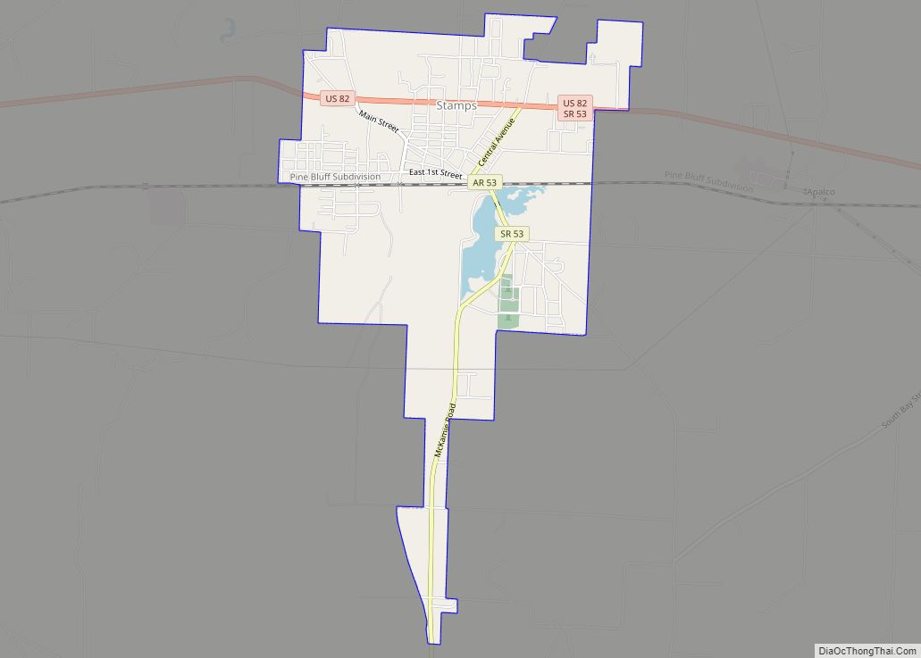
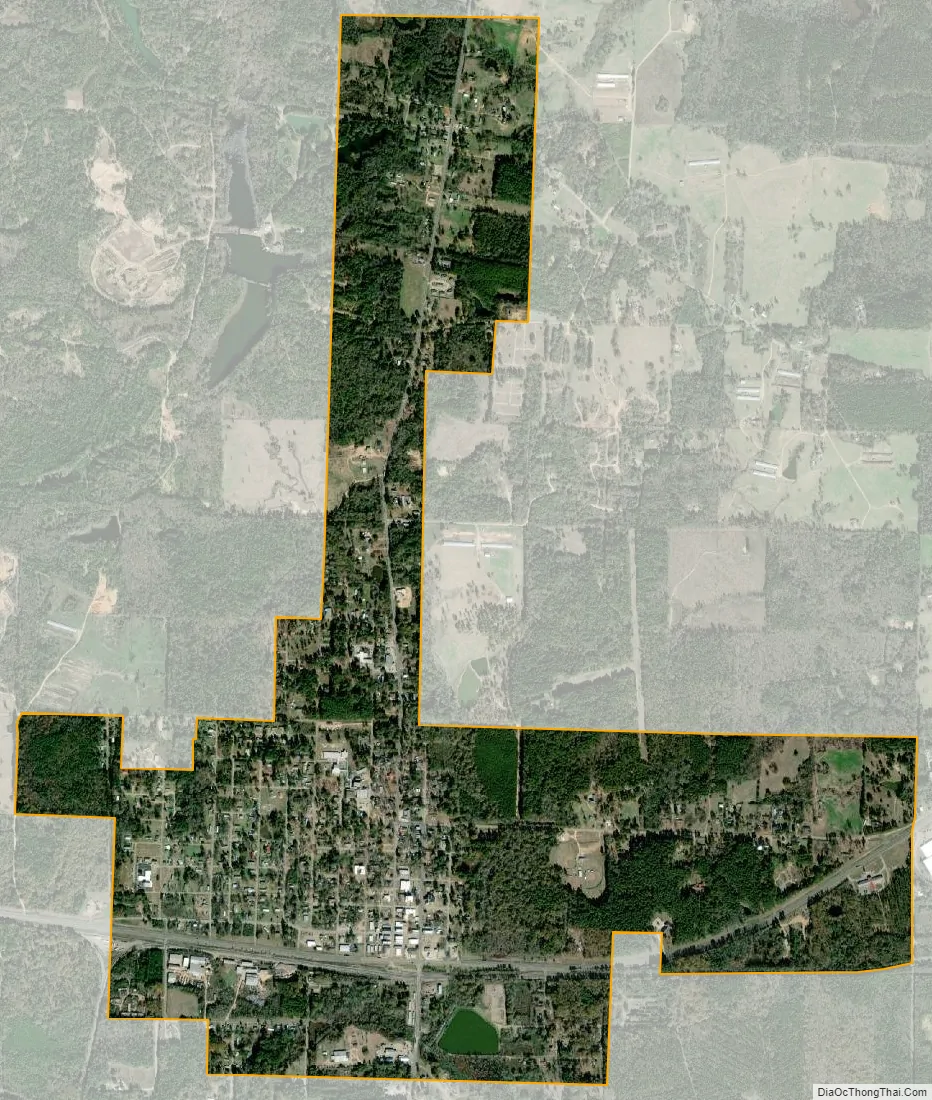
Online Interactive Map
Click on ![]() to view map in "full screen" mode.
to view map in "full screen" mode.
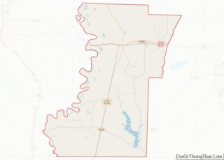
Lewisville location map. Where is Lewisville city?


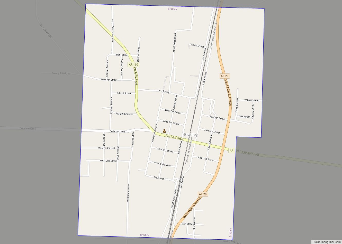
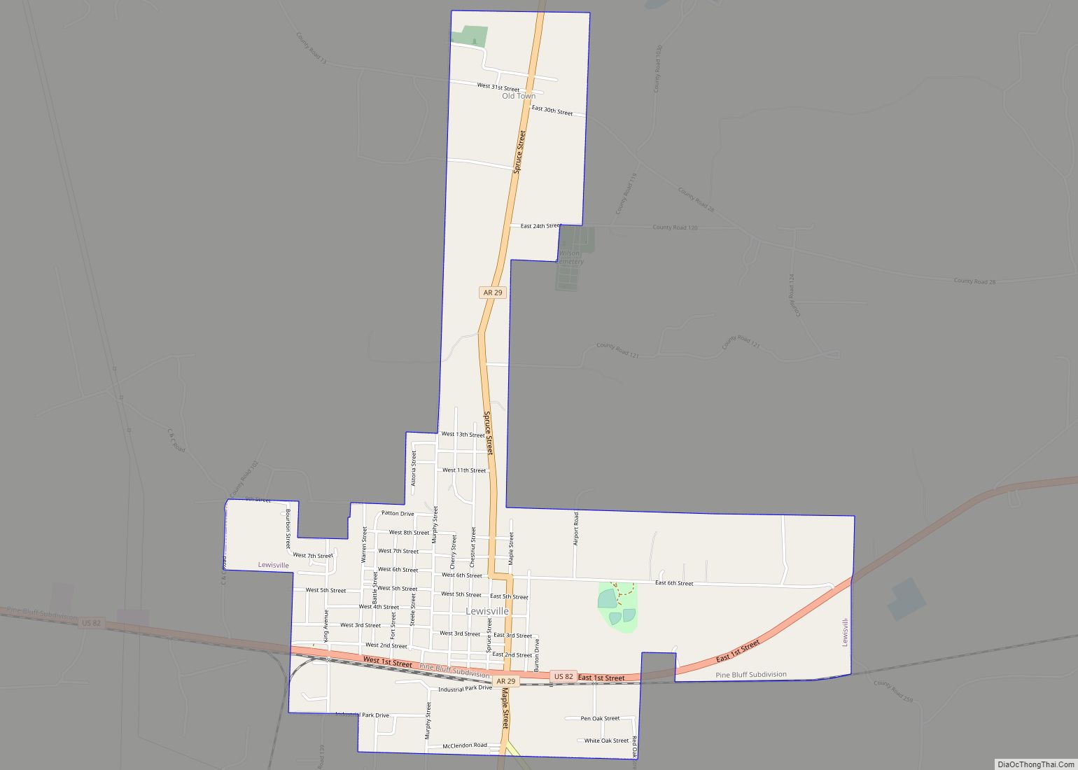
Lewisville Road Map

Lewisville city Satellite Map
Geography
Lewisville is located in northern Lafayette County at 33°21′38″N 93°34′46″W / 33.36056°N 93.57944°W / 33.36056; -93.57944 (33.360636, -93.579317). U.S. Route 82 passes through the south side of the city, leading east 23 miles (37 km) to Magnolia and west 30 miles (48 km) to Texarkana. Arkansas Highway 29 passes through the center of Lewisville, leading north 23 miles (37 km) to Hope and south 19 miles (31 km) to Bradley.
According to the United States Census Bureau, Lewisville has a total area of 2.2 square miles (5.7 km), of which 0.03 square miles (0.09 km), or 1.58%, are water.
Climate
According to the Köppen Climate Classification system, Lewisville has a humid subtropical climate, abbreviated “Cfa” on climate maps. The hottest temperature recorded in Lewisville was 112 °F (44.4 °C) on August 7 and 18, 2011, while the coldest temperature recorded was −1 °F (−18.3 °C) on February 16–17, 2021.
See also
Map of Arkansas State and its subdivision:- Arkansas
- Ashley
- Baxter
- Benton
- Boone
- Bradley
- Calhoun
- Carroll
- Chicot
- Clark
- Clay
- Cleburne
- Cleveland
- Columbia
- Conway
- Craighead
- Crawford
- Crittenden
- Cross
- Dallas
- Desha
- Drew
- Faulkner
- Franklin
- Fulton
- Garland
- Grant
- Greene
- Hempstead
- Hot Spring
- Howard
- Independence
- Izard
- Jackson
- Jefferson
- Johnson
- Lafayette
- Lawrence
- Lee
- Lincoln
- Little River
- Logan
- Lonoke
- Madison
- Marion
- Miller
- Mississippi
- Monroe
- Montgomery
- Nevada
- Newton
- Ouachita
- Perry
- Phillips
- Pike
- Poinsett
- Polk
- Pope
- Prairie
- Pulaski
- Randolph
- Saint Francis
- Saline
- Scott
- Searcy
- Sebastian
- Sevier
- Sharp
- Stone
- Union
- Van Buren
- Washington
- White
- Woodruff
- Yell
- Alabama
- Alaska
- Arizona
- Arkansas
- California
- Colorado
- Connecticut
- Delaware
- District of Columbia
- Florida
- Georgia
- Hawaii
- Idaho
- Illinois
- Indiana
- Iowa
- Kansas
- Kentucky
- Louisiana
- Maine
- Maryland
- Massachusetts
- Michigan
- Minnesota
- Mississippi
- Missouri
- Montana
- Nebraska
- Nevada
- New Hampshire
- New Jersey
- New Mexico
- New York
- North Carolina
- North Dakota
- Ohio
- Oklahoma
- Oregon
- Pennsylvania
- Rhode Island
- South Carolina
- South Dakota
- Tennessee
- Texas
- Utah
- Vermont
- Virginia
- Washington
- West Virginia
- Wisconsin
- Wyoming