Lowell is a city in Benton County, Arkansas, United States. Located within the Ozarks, first settlement was along Old Wire Road in the 1840s, and although destroyed during the Civil War, the community was reestablished by J. R. McClure and thrived when the St. Louis–San Francisco Railway came through the area in the 1880s. Today, the city is a growing bedroom community within the rapidly growing Northwest Arkansas region. Lowell is also home to the headquarters of trucking company J.B. Hunt. Lowell’s population was 9,839 at the 2020 census, an increase of 34% since 2010.
| Name: | Lowell city |
|---|---|
| LSAD Code: | 25 |
| LSAD Description: | city (suffix) |
| State: | Arkansas |
| County: | Benton County |
| Incorporated: | 1881 |
| Elevation: | 1,342 ft (409 m) |
| Total Area: | 9.68 sq mi (25.06 km²) |
| Land Area: | 9.61 sq mi (24.90 km²) |
| Water Area: | 0.06 sq mi (0.16 km²) |
| Total Population: | 9,839 |
| Population Density: | 1,023.40/sq mi (395.15/km²) |
| ZIP code: | 72745 |
| Area code: | 479 |
| FIPS code: | 0541720 |
| GNISfeature ID: | 0077562 |
| Website: | www.lowellarkansas.gov |
Online Interactive Map
Click on ![]() to view map in "full screen" mode.
to view map in "full screen" mode.
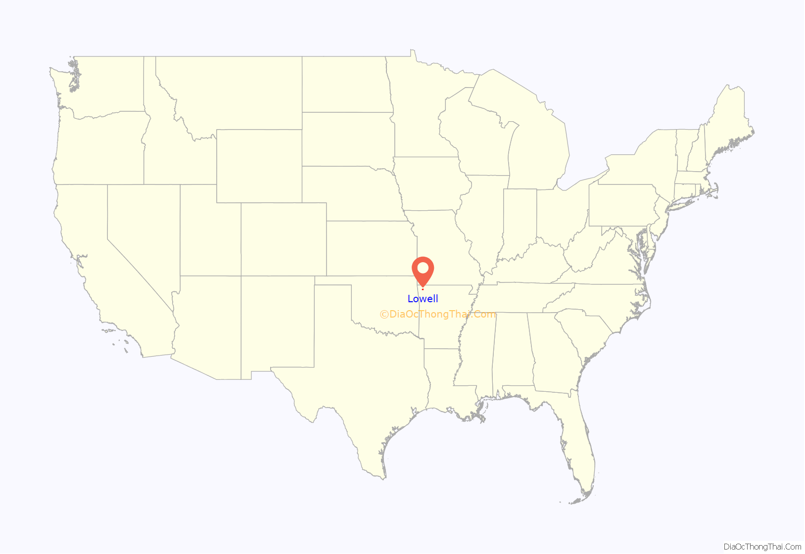
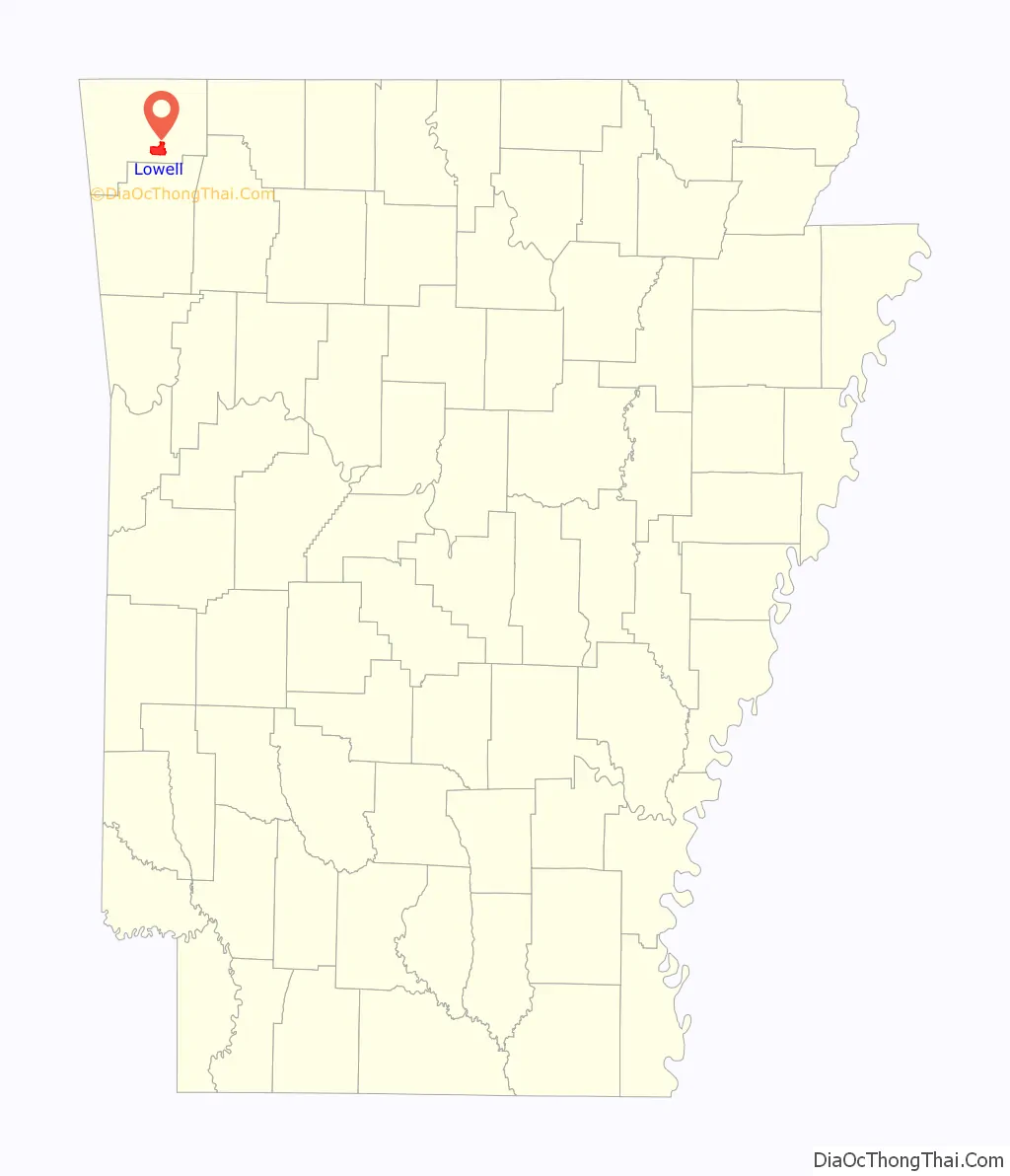
Lowell location map. Where is Lowell city?
History
Lowell was platted in 1881. A post office has been in operation at Lowell since 1881.
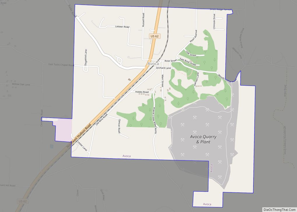
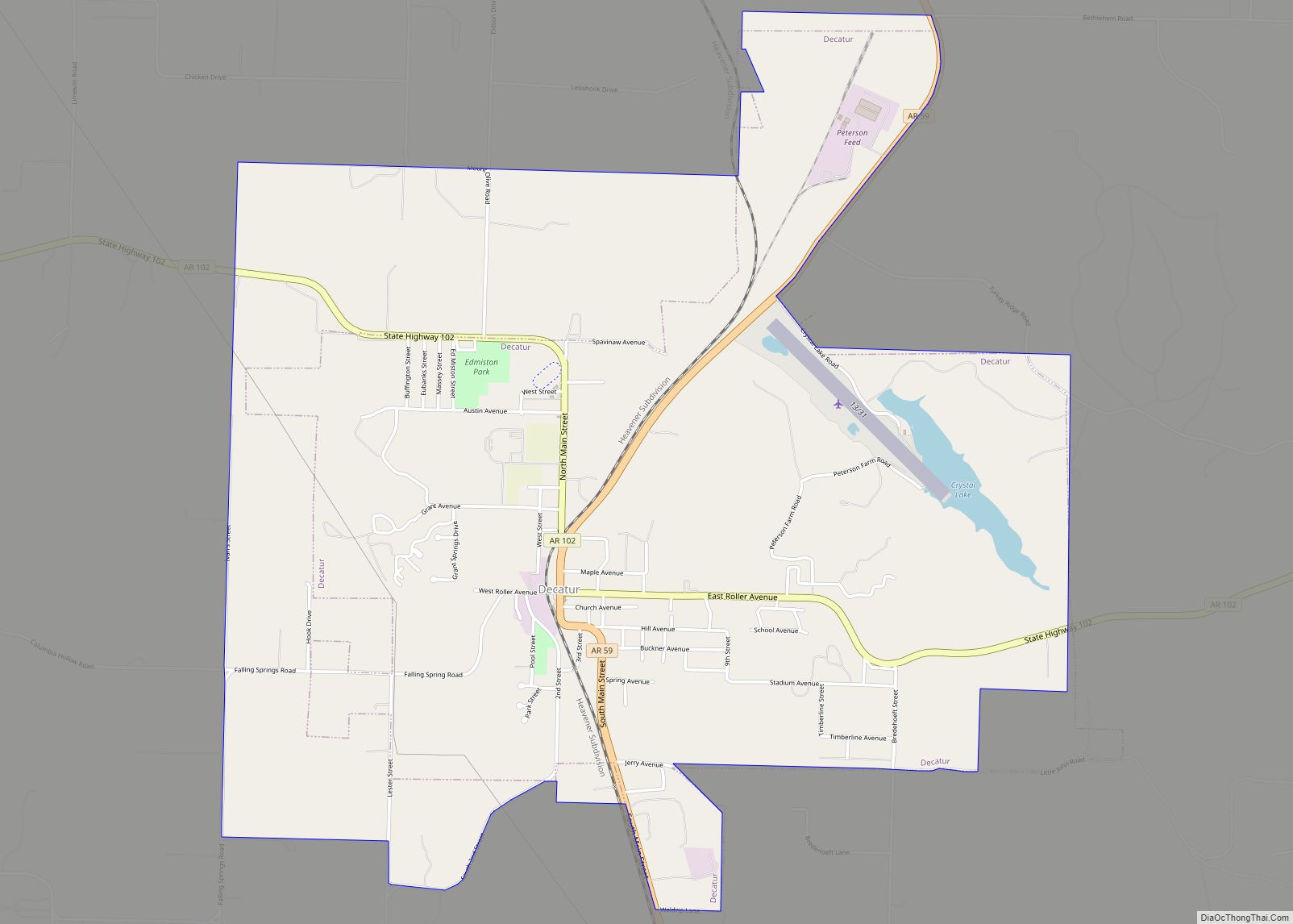
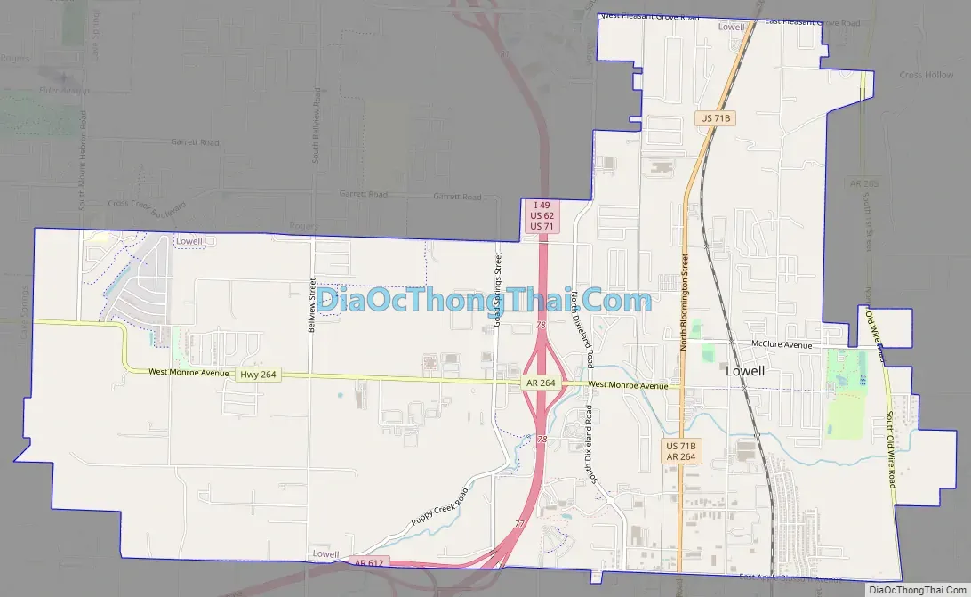
Lowell Road Map
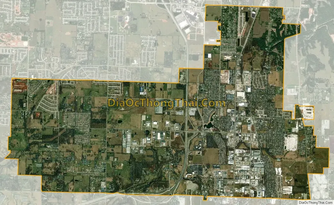
Lowell city Satellite Map
Geography
According to the United States Census Bureau, Lowell has a total area of 9.2 square miles (23.9 km), of which 9.2 square miles (23.7 km) is land and 0.077 square miles (0.2 km), or 0.68%, is water. Lowell is located in southern Benton County at 36°15′38″N 94°8′22″W / 36.26056°N 94.13944°W / 36.26056; -94.13944 (36.260429, -94.139570). It is bordered by the cities of Springdale to the south, Cave Springs to the west and Rogers to the north. 4 miles (6 km) to the east is Beaver Lake, a large reservoir of the White River.
Metropolitan area
Northwest Arkansas consists of three Arkansas counties: Benton, Madison, and Washington. The area had a population of 347,045 at the 2000 census which had increased to 463,204 by the 2010 Census (an increase of 33.47 per cent). The area does not consist of the usual principal-city-with-suburbs morphology; instead the four principal cities are all located along Interstate 49 in a linear configuration. Lowell is also located along this corridor, between Springdale and Rogers.
See also
Map of Arkansas State and its subdivision:- Arkansas
- Ashley
- Baxter
- Benton
- Boone
- Bradley
- Calhoun
- Carroll
- Chicot
- Clark
- Clay
- Cleburne
- Cleveland
- Columbia
- Conway
- Craighead
- Crawford
- Crittenden
- Cross
- Dallas
- Desha
- Drew
- Faulkner
- Franklin
- Fulton
- Garland
- Grant
- Greene
- Hempstead
- Hot Spring
- Howard
- Independence
- Izard
- Jackson
- Jefferson
- Johnson
- Lafayette
- Lawrence
- Lee
- Lincoln
- Little River
- Logan
- Lonoke
- Madison
- Marion
- Miller
- Mississippi
- Monroe
- Montgomery
- Nevada
- Newton
- Ouachita
- Perry
- Phillips
- Pike
- Poinsett
- Polk
- Pope
- Prairie
- Pulaski
- Randolph
- Saint Francis
- Saline
- Scott
- Searcy
- Sebastian
- Sevier
- Sharp
- Stone
- Union
- Van Buren
- Washington
- White
- Woodruff
- Yell
- Alabama
- Alaska
- Arizona
- Arkansas
- California
- Colorado
- Connecticut
- Delaware
- District of Columbia
- Florida
- Georgia
- Hawaii
- Idaho
- Illinois
- Indiana
- Iowa
- Kansas
- Kentucky
- Louisiana
- Maine
- Maryland
- Massachusetts
- Michigan
- Minnesota
- Mississippi
- Missouri
- Montana
- Nebraska
- Nevada
- New Hampshire
- New Jersey
- New Mexico
- New York
- North Carolina
- North Dakota
- Ohio
- Oklahoma
- Oregon
- Pennsylvania
- Rhode Island
- South Carolina
- South Dakota
- Tennessee
- Texas
- Utah
- Vermont
- Virginia
- Washington
- West Virginia
- Wisconsin
- Wyoming