North Little Rock is a city in Pulaski County, Arkansas, across the Arkansas River from Little Rock in the central part of the state. The population was 64,591 at the 2020 census. In 2019 the estimated population was 65,903, making it the seventh-most populous city in the state. North Little Rock, along with Little Rock and Conway, anchors the six-county Little Rock–North Little Rock–Conway Metropolitan Statistical Area (2014 population 729,135), which is further included in the Little Rock-North Little Rock Combined Statistical Area with 902,443 residents.
The city’s downtown is anchored in the Argenta Historic District, the location of Dickey-Stephens Park, home of the Arkansas Travelers minor league baseball team, and Simmons Bank Arena, the metropolitan area’s main entertainment venue. Farther west is Burns Park, one of the largest municipal parks in the United States.
| Name: | North Little Rock city |
|---|---|
| LSAD Code: | 25 |
| LSAD Description: | city (suffix) |
| State: | Arkansas |
| County: | Pulaski County |
| Founded: | April 18, 1871 (1871-04-18) |
| Incorporated: | July 17, 1901 (1901-07-17) |
| Elevation: | 266 ft (81 m) |
| Land Area: | 53.04 sq mi (137.38 km²) |
| Water Area: | 3.15 sq mi (8.16 km²) |
| Population Density: | 1,217.69/sq mi (470.15/km²) |
| ZIP code: | 72114-119, 721124, 72190, 72199 |
| Area code: | 501 |
| FIPS code: | 0550450 |
| GNISfeature ID: | 0077862 |
| Website: | www.northlittlerock.ar.gov |
Online Interactive Map
Click on ![]() to view map in "full screen" mode.
to view map in "full screen" mode.
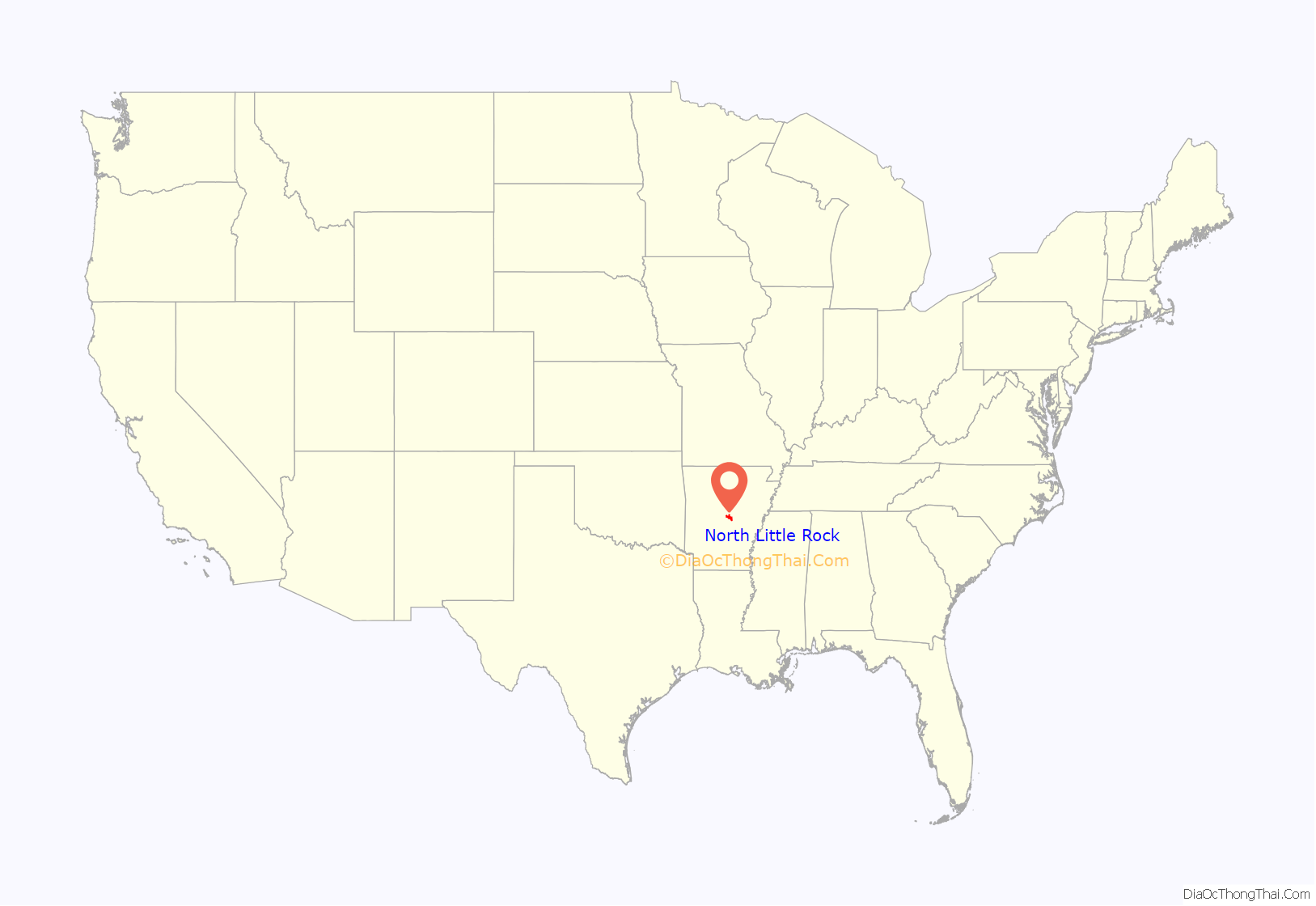
North Little Rock location map. Where is North Little Rock city?
History
Originally named Argenta, Arkansas, it was founded on April 18, 1871. In 1890, the city of Little Rock annexed Argenta as part of its eighth ward, preempting a competing petition to incorporate. As part of a plan to reclaim its independence, Argenta was incorporated on July 17, 1901, as the town of “North Little Rock”. By 1904, the state’s supreme court allowed North Little Rock to annex what was left of the ward. It readopted the name Argenta in 1906, only to revert to North Little Rock in October 1917. Evidence of the old town can still be found in the North Little Rock City Hall (built in 1914) which contains plaques referring to Argenta, and incorporates “C of A” (i.e. City of Argenta) ornamental features.
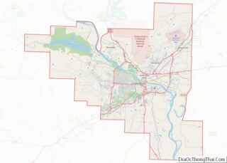
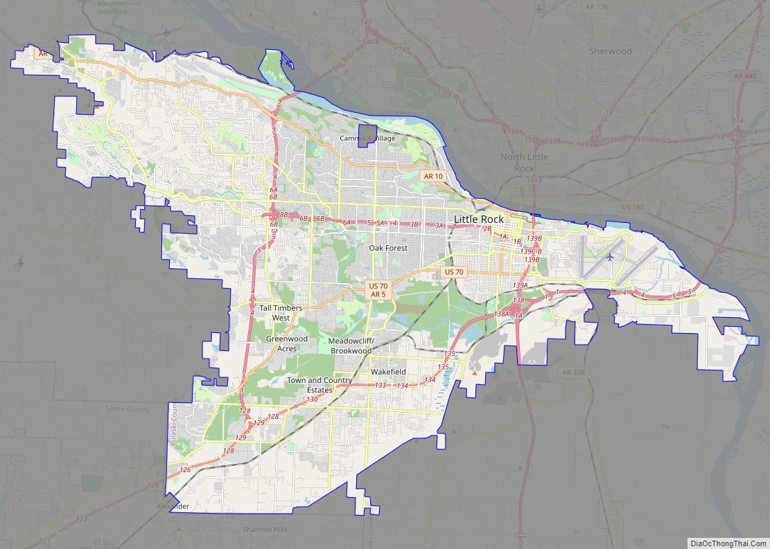
North Little Rock Road Map
North Little Rock city Satellite Map
Geography
According to the United States Census Bureau, the city has a total area of 47.0 square miles (122 km), of which 44.8 square miles (116 km) is land and 2.2 square miles (5.7 km) (4.58%) is water.
Neighborhoods
- Amboy
- Argenta Historic District
- Arrowhead Manor
- Chimney Rock
- Crystal Hill
- Dark Hollow
- Indian Hills
- Lakewood
- Levy
- Mid-City
- Overbrook
- Park Hill
- Pike View
- Rose City
- Windsor Valley
Climate
The climate in this area is characterized by hot, humid summers and generally mild to cool winters. According to the Köppen Climate Classification system, North Little Rock has a humid subtropical climate, abbreviated “Cfa” on climate maps.
North Little Rock has a humid subtropical climate with long, hot, and sunny summers and mild, wet winters with little snow. January on average is the coldest month, while July is typically the warmest, though occasionally August can claim the distinction. The overall yearly average temperature is 62.5 degrees. Precipitation averages 45.79 inches a year, with winter and spring tending to be wetter than summer and autumn. Severe thunderstorms can occur, especially during the Spring, on April 25, 2011, a possible tornado struck the air force base in the city.
See also
Map of Arkansas State and its subdivision:- Arkansas
- Ashley
- Baxter
- Benton
- Boone
- Bradley
- Calhoun
- Carroll
- Chicot
- Clark
- Clay
- Cleburne
- Cleveland
- Columbia
- Conway
- Craighead
- Crawford
- Crittenden
- Cross
- Dallas
- Desha
- Drew
- Faulkner
- Franklin
- Fulton
- Garland
- Grant
- Greene
- Hempstead
- Hot Spring
- Howard
- Independence
- Izard
- Jackson
- Jefferson
- Johnson
- Lafayette
- Lawrence
- Lee
- Lincoln
- Little River
- Logan
- Lonoke
- Madison
- Marion
- Miller
- Mississippi
- Monroe
- Montgomery
- Nevada
- Newton
- Ouachita
- Perry
- Phillips
- Pike
- Poinsett
- Polk
- Pope
- Prairie
- Pulaski
- Randolph
- Saint Francis
- Saline
- Scott
- Searcy
- Sebastian
- Sevier
- Sharp
- Stone
- Union
- Van Buren
- Washington
- White
- Woodruff
- Yell
- Alabama
- Alaska
- Arizona
- Arkansas
- California
- Colorado
- Connecticut
- Delaware
- District of Columbia
- Florida
- Georgia
- Hawaii
- Idaho
- Illinois
- Indiana
- Iowa
- Kansas
- Kentucky
- Louisiana
- Maine
- Maryland
- Massachusetts
- Michigan
- Minnesota
- Mississippi
- Missouri
- Montana
- Nebraska
- Nevada
- New Hampshire
- New Jersey
- New Mexico
- New York
- North Carolina
- North Dakota
- Ohio
- Oklahoma
- Oregon
- Pennsylvania
- Rhode Island
- South Carolina
- South Dakota
- Tennessee
- Texas
- Utah
- Vermont
- Virginia
- Washington
- West Virginia
- Wisconsin
- Wyoming
