Oden is a town in Montgomery County, Arkansas, United States. As of the 2020 census, its population was 180, down from 232 in 2010.
| Name: | Oden town |
|---|---|
| LSAD Code: | 43 |
| LSAD Description: | town (suffix) |
| State: | Arkansas |
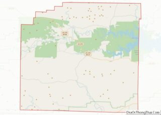
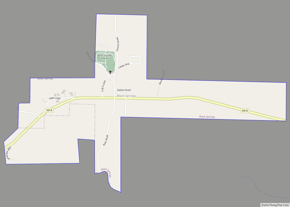
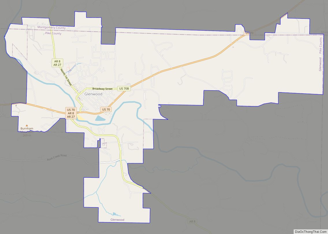
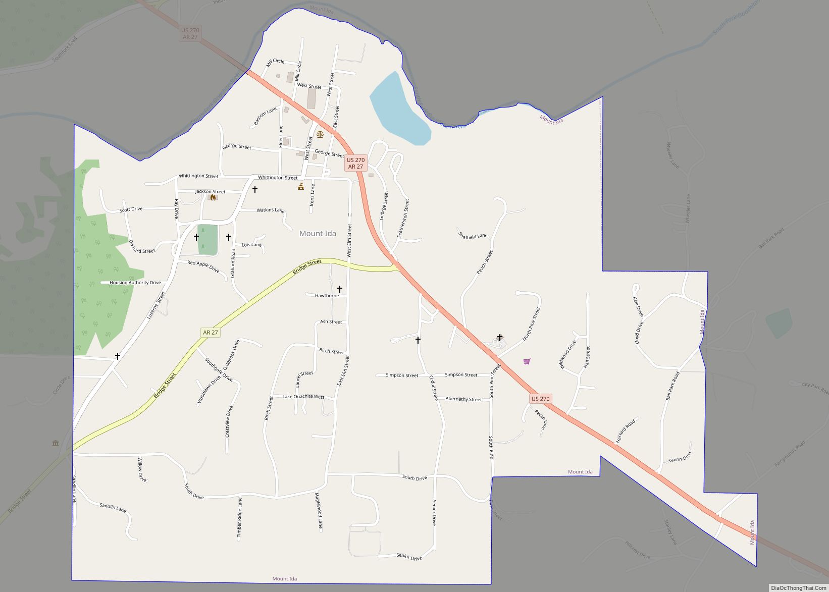
| County: | Montgomery County |
| Elevation: | 761 ft (232 m) |
| Total Area: | 0.84 sq mi (2.17 km²) |
| Land Area: | 0.81 sq mi (2.11 km²) |
| Water Area: | 0.02 sq mi (0.06 km²) |
| Total Population: | 180 |
| Population Density: | 221.13/sq mi (85.33/km²) |
| ZIP code: | 71961, 71966 |
| Area code: | 870 |
| FIPS code: | 0551290 |
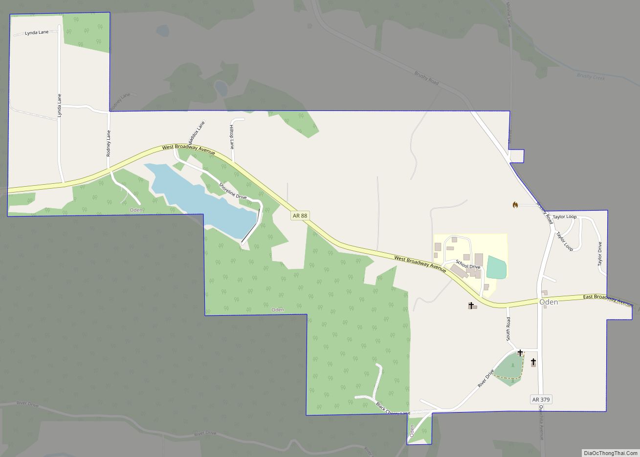
Online Interactive Map
Click on ![]() to view map in "full screen" mode.
to view map in "full screen" mode.
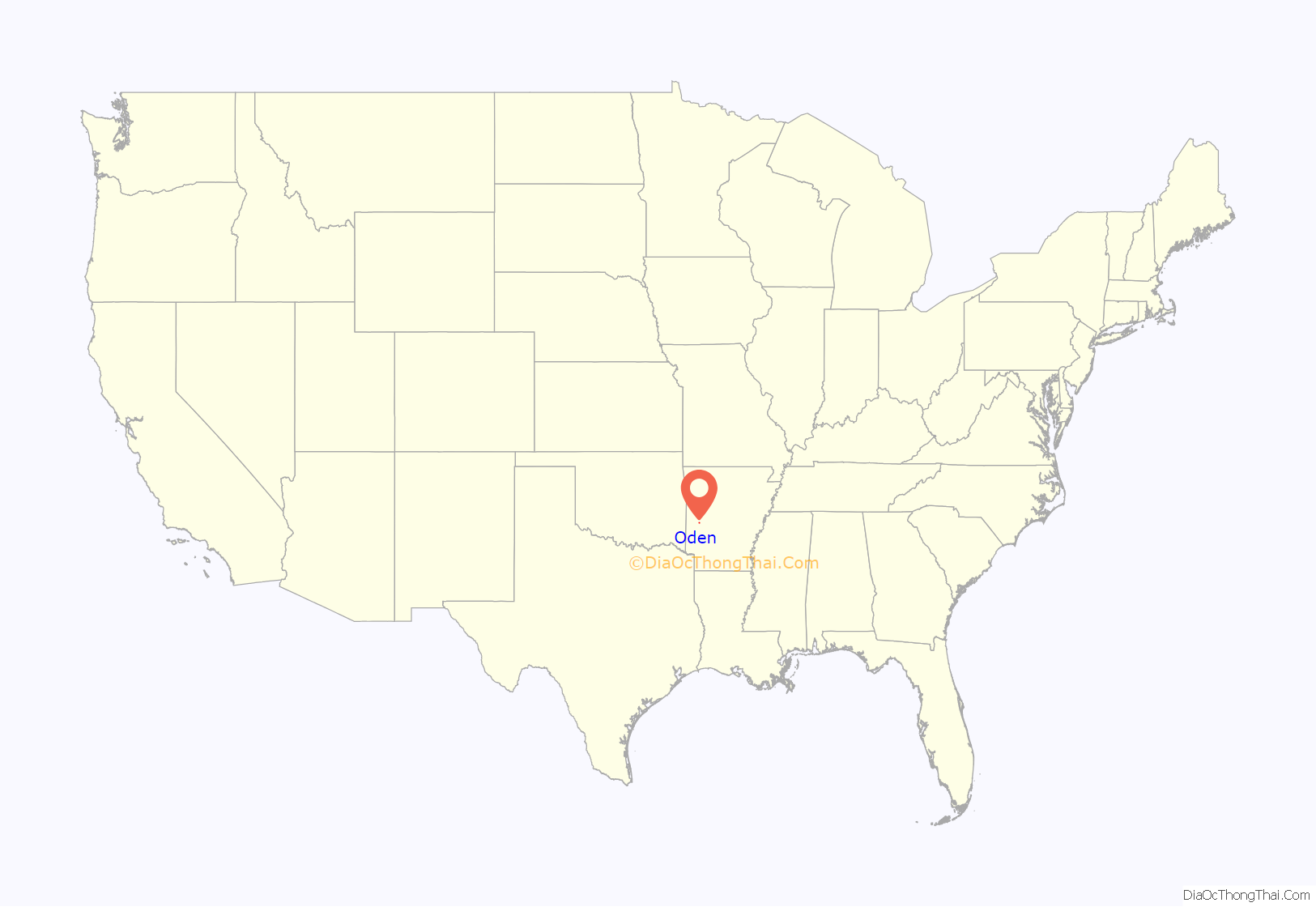
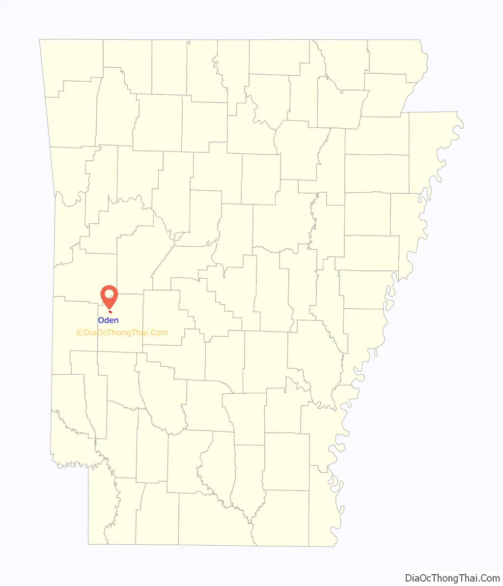
Oden location map. Where is Oden town?
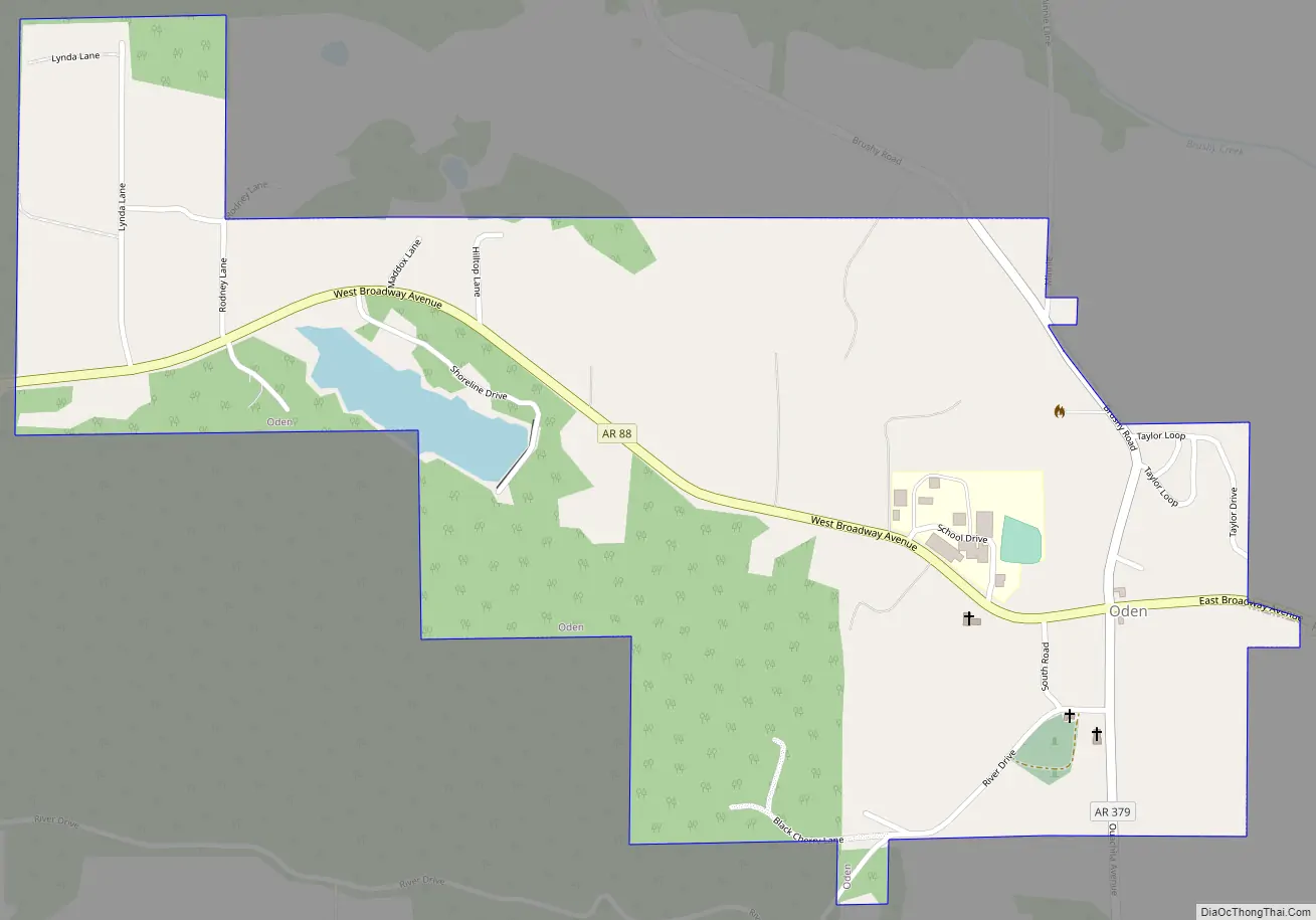
Oden Road Map
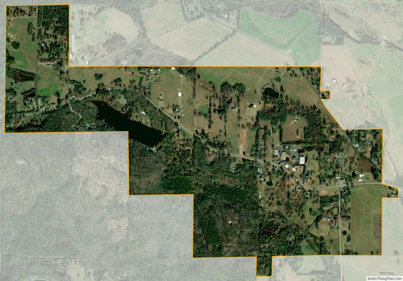
Oden city Satellite Map
Geography
Oden is located in northwestern Montgomery County at 34°37′08″N 93°46′37″W / 34.61889°N 93.77694°W / 34.61889; -93.77694 (34.6189884, -93.7768637). Arkansas Highway 88 (Broadway Avenue) is the main road through the town, leading east 2.5 miles (4.0 km) to Pencil Bluff and west 28 miles (45 km) to Mena. Mount Ida, the Montgomery county seat, is 11 miles (18 km) southeast of Oden via AR 88 and US 270.
According to the United States Census Bureau, Oden has a total area of 0.84 square miles (2.2 km), of which 0.02 square miles (0.05 km), or 2.75%, are water. The Ouachita River flows past the south side of the town, outside the town limits.
See also
Map of Arkansas State and its subdivision:- Arkansas
- Ashley
- Baxter
- Benton
- Boone
- Bradley
- Calhoun
- Carroll
- Chicot
- Clark
- Clay
- Cleburne
- Cleveland
- Columbia
- Conway
- Craighead
- Crawford
- Crittenden
- Cross
- Dallas
- Desha
- Drew
- Faulkner
- Franklin
- Fulton
- Garland
- Grant
- Greene
- Hempstead
- Hot Spring
- Howard
- Independence
- Izard
- Jackson
- Jefferson
- Johnson
- Lafayette
- Lawrence
- Lee
- Lincoln
- Little River
- Logan
- Lonoke
- Madison
- Marion
- Miller
- Mississippi
- Monroe
- Montgomery
- Nevada
- Newton
- Ouachita
- Perry
- Phillips
- Pike
- Poinsett
- Polk
- Pope
- Prairie
- Pulaski
- Randolph
- Saint Francis
- Saline
- Scott
- Searcy
- Sebastian
- Sevier
- Sharp
- Stone
- Union
- Van Buren
- Washington
- White
- Woodruff
- Yell
- Alabama
- Alaska
- Arizona
- Arkansas
- California
- Colorado
- Connecticut
- Delaware
- District of Columbia
- Florida
- Georgia
- Hawaii
- Idaho
- Illinois
- Indiana
- Iowa
- Kansas
- Kentucky
- Louisiana
- Maine
- Maryland
- Massachusetts
- Michigan
- Minnesota
- Mississippi
- Missouri
- Montana
- Nebraska
- Nevada
- New Hampshire
- New Jersey
- New Mexico
- New York
- North Carolina
- North Dakota
- Ohio
- Oklahoma
- Oregon
- Pennsylvania
- Rhode Island
- South Carolina
- South Dakota
- Tennessee
- Texas
- Utah
- Vermont
- Virginia
- Washington
- West Virginia
- Wisconsin
- Wyoming