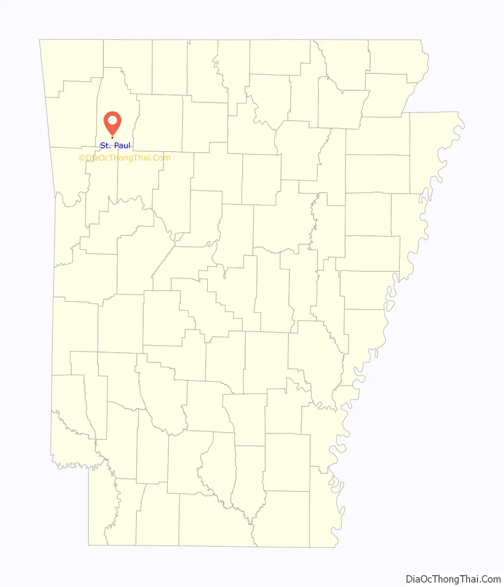
St. Paul is a town in Madison County, Arkansas, United States. The population was 111 at the 2020 census. It is on the edge of the Northwest Arkansas region.
St. Paul was platted in 1887 when the railroad was extended to that point.
| Name: | St. Paul town |
|---|---|
| LSAD Code: | 43 |
| LSAD Description: | town (suffix) |
| State: | Arkansas |
| County: | Madison County |
| Elevation: | 1,519 ft (463 m) |
| Total Area: | 0.46 sq mi (1.18 km²) |
| Land Area: | 0.45 sq mi (1.18 km²) |
| Water Area: | 0.00 sq mi (0.00 km²) |
| Total Population: | 111 |
| Population Density: | 244.49/sq mi (94.38/km²) |
| ZIP code: | 72760 |
| FIPS code: | 0562060 |
| GNISfeature ID: | 2407273 |
Online Interactive Map
Click on ![]() to view map in "full screen" mode.
to view map in "full screen" mode.
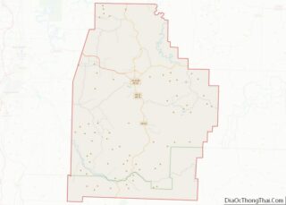
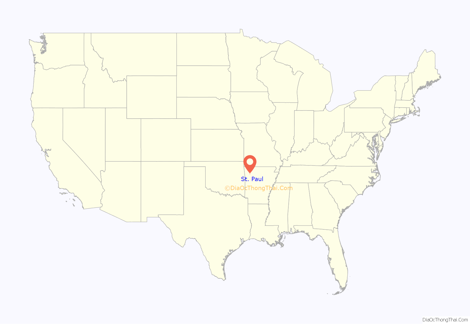
St. Paul location map. Where is St. Paul town?
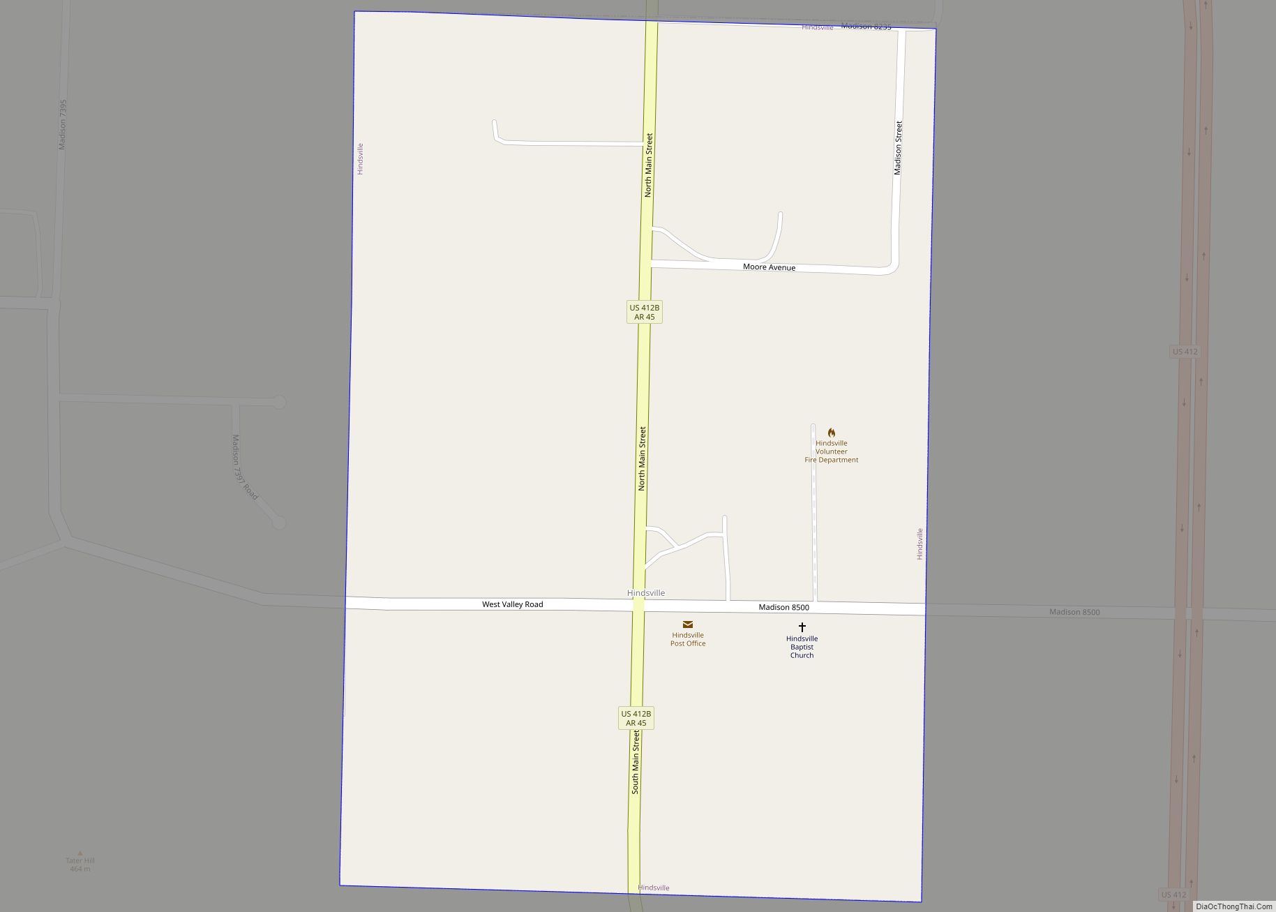
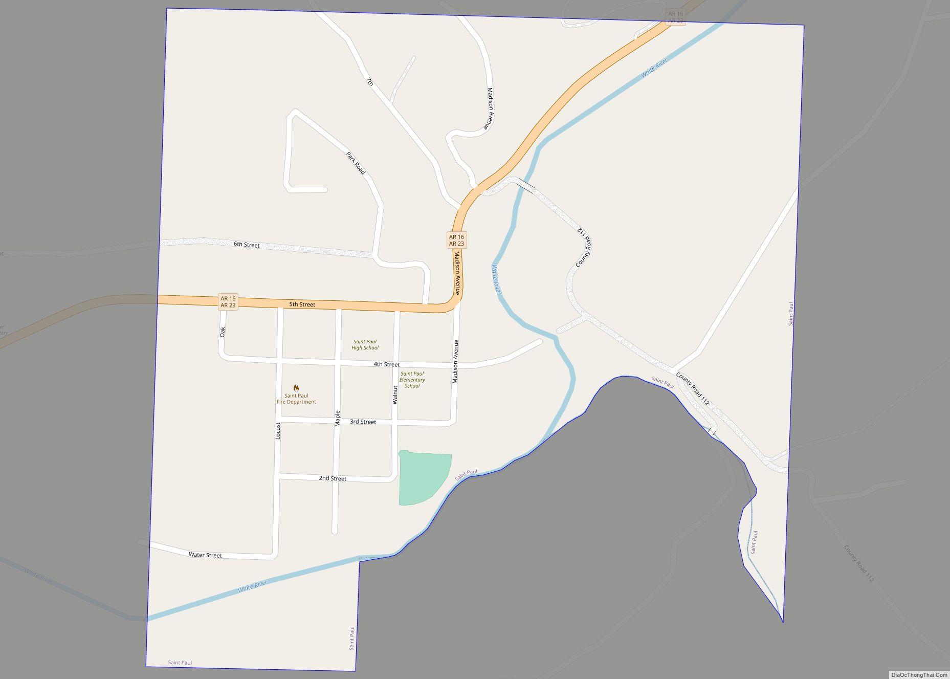
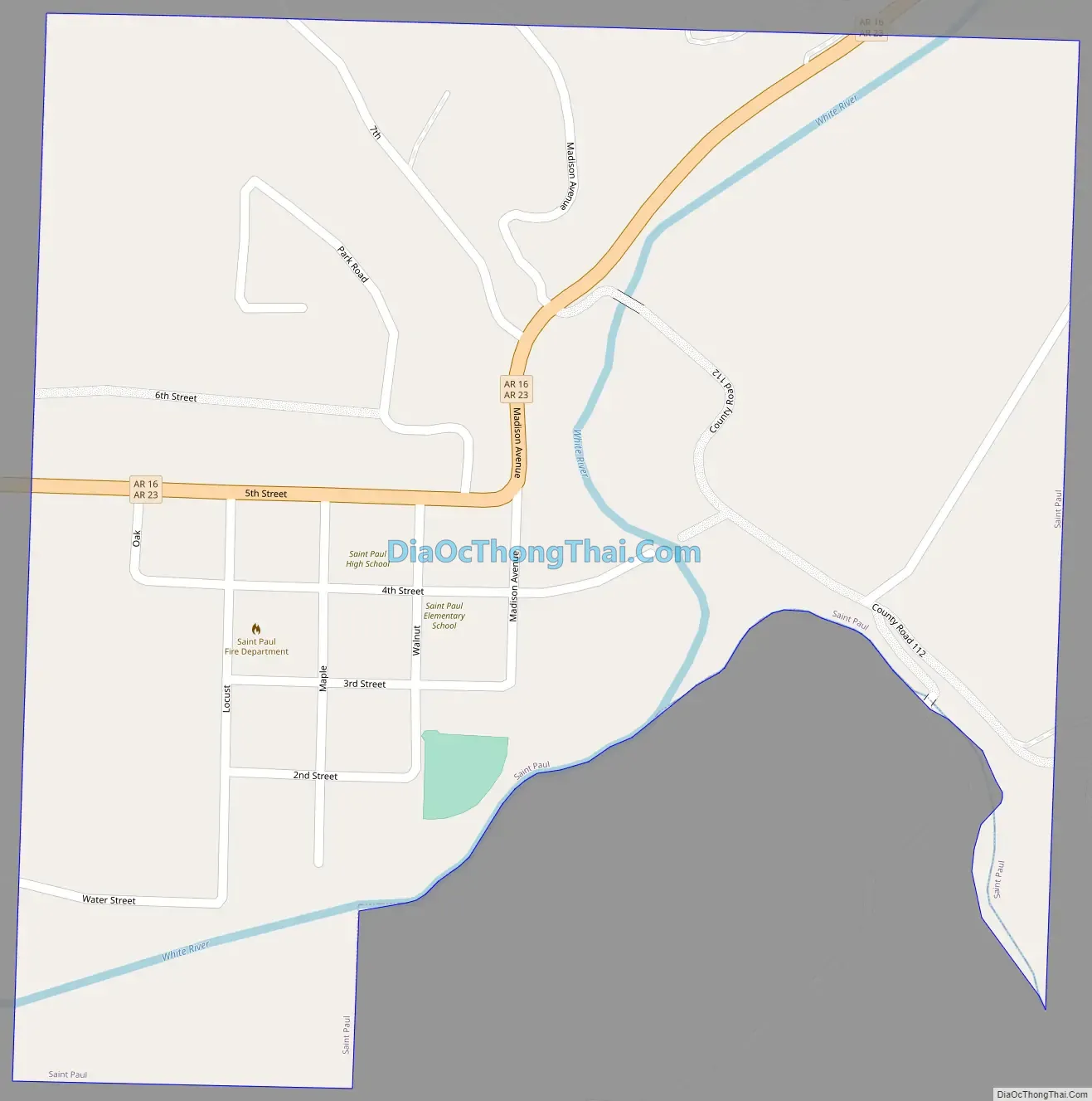
St. Paul Road Map
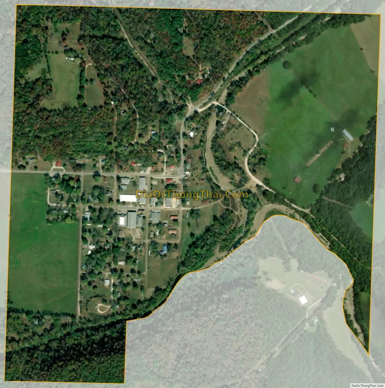
St. Paul city Satellite Map
Geography
St. Paul is located in southern Madison County. Arkansas Highways 16 and 23 run through the town together as 5th Street and Madison Avenue. Highway 23 leads north 22 miles (35 km) to Huntsville, the county seat, and south 30 miles (48 km) to Ozark, while Highway 16 leads northwest 32 miles (51 km) to Fayetteville and east along the spine of the Boston Mountains 131 miles (211 km) to Clinton.
According to the United States Census Bureau, the town has a total area of 0.45 square miles (1.2 km), of which 0.001 square miles (0.0026 km), or 0.22%, are water. The community is located along the upper reaches of the White River. The north boundary of the Ozark-St. Francis National Forest is adjacent to the south side of the community.
Ecoregion
St. Paul is located in the Upper Boston Mountains ecoregion. The ecoregion is generally higher and moister than the Lower Boston Mountains; elevations vary from 1,900 to 2,800 feet (580 to 850 m). Potential natural vegetation is oak–hickory forest. Characteristically, the forests of the Upper Boston Mountains are more closed and contain far less pine than those of the Lower Boston Mountains. North-facing slopes support mesic forests. The region is underlain by Pennsylvanian sandstone, shale and siltstone that contrasts with the limestone and dolomite that dominates the Ozark Highlands. Water quality in streams reflects geology, soils, and land use, and is typically exceptional; mineral, nutrient, and solid concentrations as well as turbidity all tend to be very low. During the summer, many streams do not flow. The timber industry was once a source of many jobs.
See also
Map of Arkansas State and its subdivision:- Arkansas
- Ashley
- Baxter
- Benton
- Boone
- Bradley
- Calhoun
- Carroll
- Chicot
- Clark
- Clay
- Cleburne
- Cleveland
- Columbia
- Conway
- Craighead
- Crawford
- Crittenden
- Cross
- Dallas
- Desha
- Drew
- Faulkner
- Franklin
- Fulton
- Garland
- Grant
- Greene
- Hempstead
- Hot Spring
- Howard
- Independence
- Izard
- Jackson
- Jefferson
- Johnson
- Lafayette
- Lawrence
- Lee
- Lincoln
- Little River
- Logan
- Lonoke
- Madison
- Marion
- Miller
- Mississippi
- Monroe
- Montgomery
- Nevada
- Newton
- Ouachita
- Perry
- Phillips
- Pike
- Poinsett
- Polk
- Pope
- Prairie
- Pulaski
- Randolph
- Saint Francis
- Saline
- Scott
- Searcy
- Sebastian
- Sevier
- Sharp
- Stone
- Union
- Van Buren
- Washington
- White
- Woodruff
- Yell
- Alabama
- Alaska
- Arizona
- Arkansas
- California
- Colorado
- Connecticut
- Delaware
- District of Columbia
- Florida
- Georgia
- Hawaii
- Idaho
- Illinois
- Indiana
- Iowa
- Kansas
- Kentucky
- Louisiana
- Maine
- Maryland
- Massachusetts
- Michigan
- Minnesota
- Mississippi
- Missouri
- Montana
- Nebraska
- Nevada
- New Hampshire
- New Jersey
- New Mexico
- New York
- North Carolina
- North Dakota
- Ohio
- Oklahoma
- Oregon
- Pennsylvania
- Rhode Island
- South Carolina
- South Dakota
- Tennessee
- Texas
- Utah
- Vermont
- Virginia
- Washington
- West Virginia
- Wisconsin
- Wyoming