Sweet Home is a census-designated place (CDP) in Pulaski County, Arkansas, United States. Its population was 849 at the 2010 census. It is part of the ‘Little Rock–North Little Rock–AR Metropolitan Statistical Area’.
| Name: | Sweet Home CDP |
|---|---|
| LSAD Code: | 57 |
| LSAD Description: | CDP (suffix) |
| State: | Arkansas |
| County: | Pulaski County |
| Elevation: | 272 ft (83 m) |
| Total Area: | 4.07 sq mi (10.54 km²) |
| Land Area: | 3.89 sq mi (10.07 km²) |
| Water Area: | 0.18 sq mi (0.47 km²) |
| Total Population: | 712 |
| Population Density: | 183.03/sq mi (70.67/km²) |
| ZIP code: | 72164 |
| Area code: | 501 |
| FIPS code: | 0568330 |
| GNISfeature ID: | 0058722 |
Online Interactive Map
Click on ![]() to view map in "full screen" mode.
to view map in "full screen" mode.
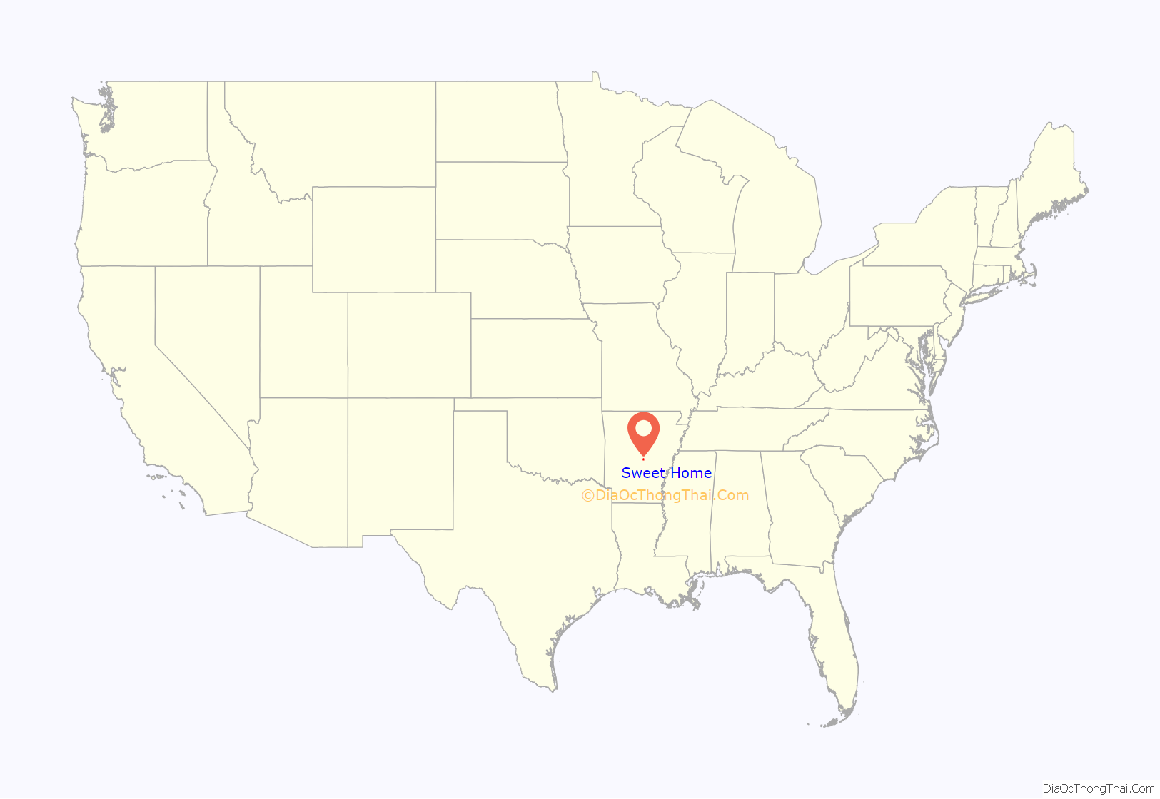
Sweet Home location map. Where is Sweet Home CDP?
History
Most of the geographical history of Sweet Home and the surrounding areas was farms and fields. After bauxite mining between the 1940s through 1960s many blue holes were formed in the Sweet Home Area.
Sweet Home was the site of the Arkansas Confederate Soldiers’ Home from 1890 to 1955, but the home was moved to the grounds of the Schools for the Deaf and Blind in Little Rock from 1955 to 1963. The Hanger Cotton Gin is listed on the National Register of Historic Places.
Sweet Home Road Map
Sweet Home city Satellite Map
Geography
Sweet Home is located at 34°40′53″N 92°14′36″W / 34.68139°N 92.24333°W / 34.68139; -92.24333 (34.681478, -92.243445).
According to the United States Census Bureau, the CDP has a total area of 4.1 square miles (11 km), of which 3.9 square miles (10 km) is land and 0.2 square miles (0.52 km) (2.72%) is water.
See also
Map of Arkansas State and its subdivision:- Arkansas
- Ashley
- Baxter
- Benton
- Boone
- Bradley
- Calhoun
- Carroll
- Chicot
- Clark
- Clay
- Cleburne
- Cleveland
- Columbia
- Conway
- Craighead
- Crawford
- Crittenden
- Cross
- Dallas
- Desha
- Drew
- Faulkner
- Franklin
- Fulton
- Garland
- Grant
- Greene
- Hempstead
- Hot Spring
- Howard
- Independence
- Izard
- Jackson
- Jefferson
- Johnson
- Lafayette
- Lawrence
- Lee
- Lincoln
- Little River
- Logan
- Lonoke
- Madison
- Marion
- Miller
- Mississippi
- Monroe
- Montgomery
- Nevada
- Newton
- Ouachita
- Perry
- Phillips
- Pike
- Poinsett
- Polk
- Pope
- Prairie
- Pulaski
- Randolph
- Saint Francis
- Saline
- Scott
- Searcy
- Sebastian
- Sevier
- Sharp
- Stone
- Union
- Van Buren
- Washington
- White
- Woodruff
- Yell
- Alabama
- Alaska
- Arizona
- Arkansas
- California
- Colorado
- Connecticut
- Delaware
- District of Columbia
- Florida
- Georgia
- Hawaii
- Idaho
- Illinois
- Indiana
- Iowa
- Kansas
- Kentucky
- Louisiana
- Maine
- Maryland
- Massachusetts
- Michigan
- Minnesota
- Mississippi
- Missouri
- Montana
- Nebraska
- Nevada
- New Hampshire
- New Jersey
- New Mexico
- New York
- North Carolina
- North Dakota
- Ohio
- Oklahoma
- Oregon
- Pennsylvania
- Rhode Island
- South Carolina
- South Dakota
- Tennessee
- Texas
- Utah
- Vermont
- Virginia
- Washington
- West Virginia
- Wisconsin
- Wyoming
