Tontitown is a city in northern Washington County, Arkansas, United States. The community is located in the Ozark Mountains and was founded by Italian settlers in 1898. Known for its grapes and wines, Tontitown has hosted the Tontitown Grape Festival continuously since 1898. It is part of the Northwest Arkansas region, serving as a bedroom community for larger neighbors Fayetteville and Springdale. The town experienced a 160% growth in population between the 2000 and 2010 censuses.
| Name: | Tontitown city |
|---|---|
| LSAD Code: | 25 |
| LSAD Description: | city (suffix) |
| State: | Arkansas |
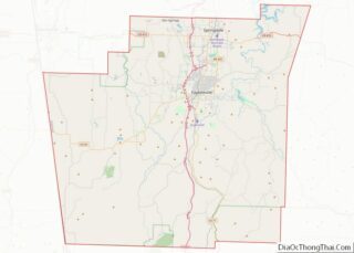
| County: | Washington County |
| Elevation: | 1,296 ft (395 m) |
| Total Area: | 18.05 sq mi (46.74 km²) |
| Land Area: | 17.91 sq mi (46.39 km²) |
| Water Area: | 0.14 sq mi (0.35 km²) |
| Total Population: | 4,301 |
| Population Density: | 240.13/sq mi (92.71/km²) |
| ZIP code: | 72770 |
| Area code: | 479 |
| FIPS code: | 0569740 |
| GNISfeature ID: | 2405595 |
| Website: | Tontitown.com |
Online Interactive Map
Click on ![]() to view map in "full screen" mode.
to view map in "full screen" mode.
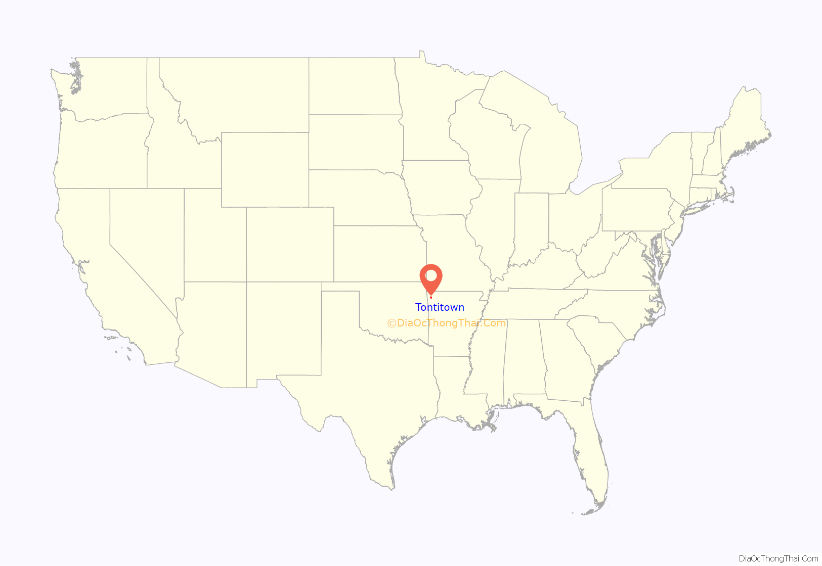
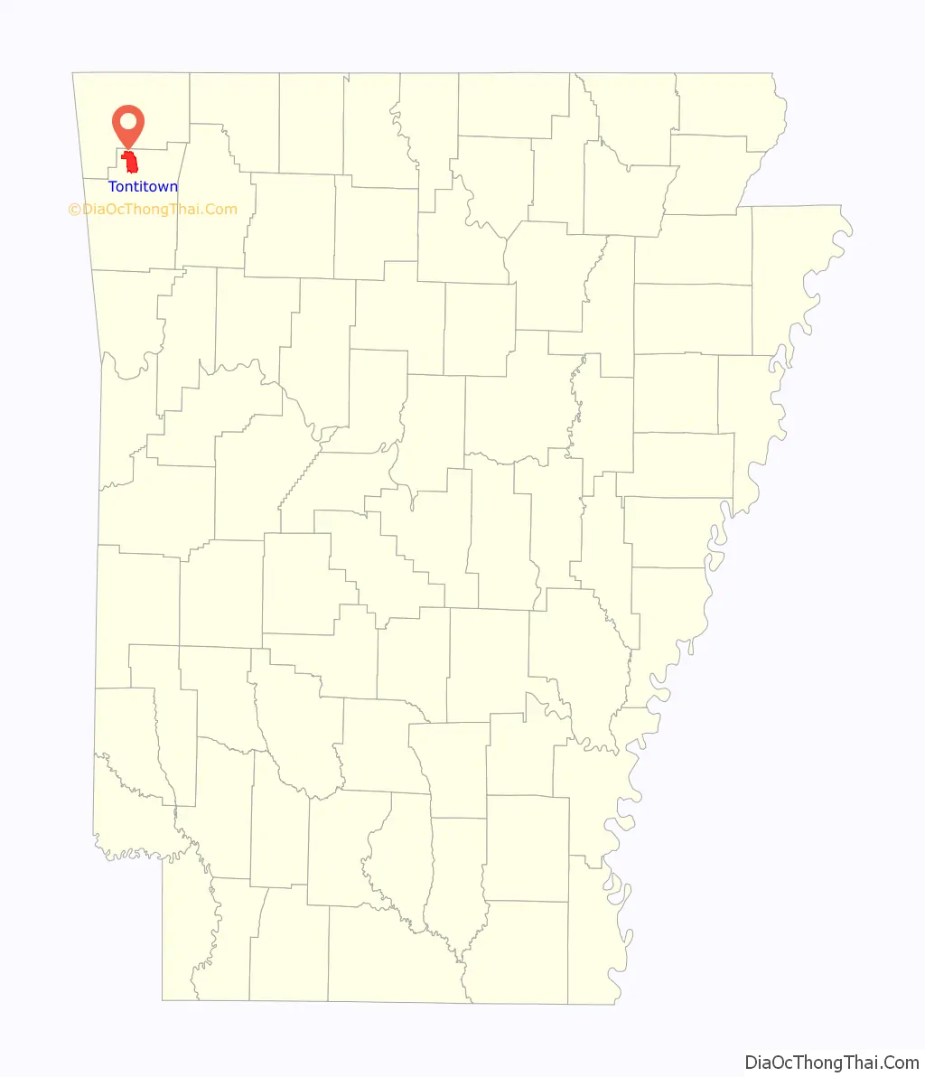
Tontitown location map. Where is Tontitown city?
History
Led by Catholic priest Pietro Bandini, who eventually became mayor of the city, Italian settlers working on Lakeport Plantation in the Arkansas delta moved to northwest Arkansas and found the climate and terrain similar to their native Northern Italy. Tontitown was settled in 1898 and named for Italian explorer Henri de Tonti.
The 35 initial families settled on 10 acres (4.0 ha) plots, planting gardens and vineyards. In 1909, the community incorporated, having grown to 1,400 acres (570 ha). Some residents resisted and resented the Italian influx, which largely spoke Italian and remained insulated. After threats and arson of barns and the school, Bandini confronted a group to stop the terrorization of the nascent Tontitown community.
The Tontitown grapes eventually became a major crop in Washington County following the construction of a Welch Company plant in Springdale near the railroad. The area also grew apples, blackberries, peaches, strawberries, and tomatoes for canning in Springdale.
Tontitown Road Map
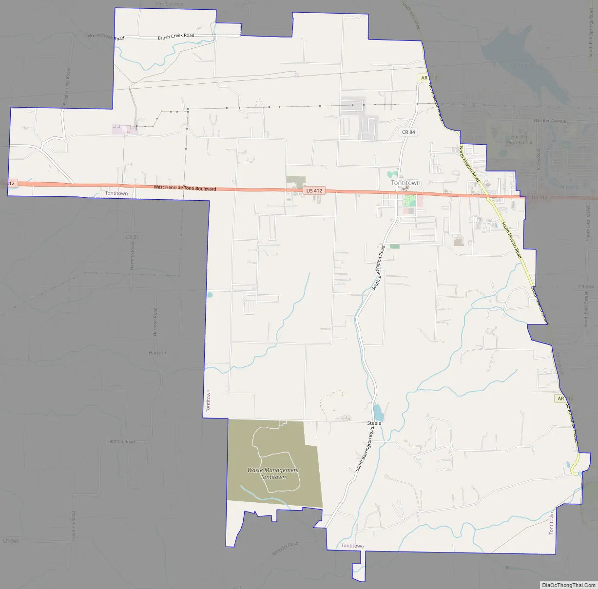
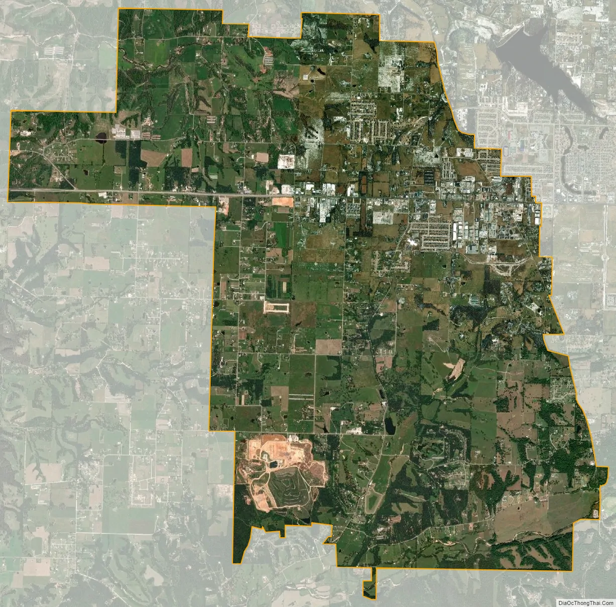
Tontitown city Satellite Map
See also
Map of Arkansas State and its subdivision:- Arkansas
- Ashley
- Baxter
- Benton
- Boone
- Bradley
- Calhoun
- Carroll
- Chicot
- Clark
- Clay
- Cleburne
- Cleveland
- Columbia
- Conway
- Craighead
- Crawford
- Crittenden
- Cross
- Dallas
- Desha
- Drew
- Faulkner
- Franklin
- Fulton
- Garland
- Grant
- Greene
- Hempstead
- Hot Spring
- Howard
- Independence
- Izard
- Jackson
- Jefferson
- Johnson
- Lafayette
- Lawrence
- Lee
- Lincoln
- Little River
- Logan
- Lonoke
- Madison
- Marion
- Miller
- Mississippi
- Monroe
- Montgomery
- Nevada
- Newton
- Ouachita
- Perry
- Phillips
- Pike
- Poinsett
- Polk
- Pope
- Prairie
- Pulaski
- Randolph
- Saint Francis
- Saline
- Scott
- Searcy
- Sebastian
- Sevier
- Sharp
- Stone
- Union
- Van Buren
- Washington
- White
- Woodruff
- Yell
- Alabama
- Alaska
- Arizona
- Arkansas
- California
- Colorado
- Connecticut
- Delaware
- District of Columbia
- Florida
- Georgia
- Hawaii
- Idaho
- Illinois
- Indiana
- Iowa
- Kansas
- Kentucky
- Louisiana
- Maine
- Maryland
- Massachusetts
- Michigan
- Minnesota
- Mississippi
- Missouri
- Montana
- Nebraska
- Nevada
- New Hampshire
- New Jersey
- New Mexico
- New York
- North Carolina
- North Dakota
- Ohio
- Oklahoma
- Oregon
- Pennsylvania
- Rhode Island
- South Carolina
- South Dakota
- Tennessee
- Texas
- Utah
- Vermont
- Virginia
- Washington
- West Virginia
- Wisconsin
- Wyoming