Woodson is a census-designated place (CDP) in Pulaski County, Arkansas, United States. Its population was 403 at the 2010 census. It is part of the Little Rock–North Little Rock–Conway Metropolitan Statistical Area. Woodson and its accompanying Woodson Lake and Wood Hollow are the namesake for Ed Wood Sr., a prominent plantation owner, trader, and businessman at the turn of the 20th century. Woodson is adjacent to the Wood Plantation, the largest of the plantations own by Ed Wood Sr.
| Name: | Woodson CDP |
|---|---|
| LSAD Code: | 57 |
| LSAD Description: | CDP (suffix) |
| State: | Arkansas |
| County: | Pulaski County |
| Elevation: | 249 ft (76 m) |
| Total Area: | 4.45 sq mi (11.52 km²) |
| Land Area: | 4.35 sq mi (11.26 km²) |
| Water Area: | 0.10 sq mi (0.26 km²) |
| Total Population: | 346 |
| Population Density: | 79.60/sq mi (30.74/km²) |
| ZIP code: | 72180 |
| Area code: | 501 |
| FIPS code: | 0576730 |
| GNISfeature ID: | 0056536 |
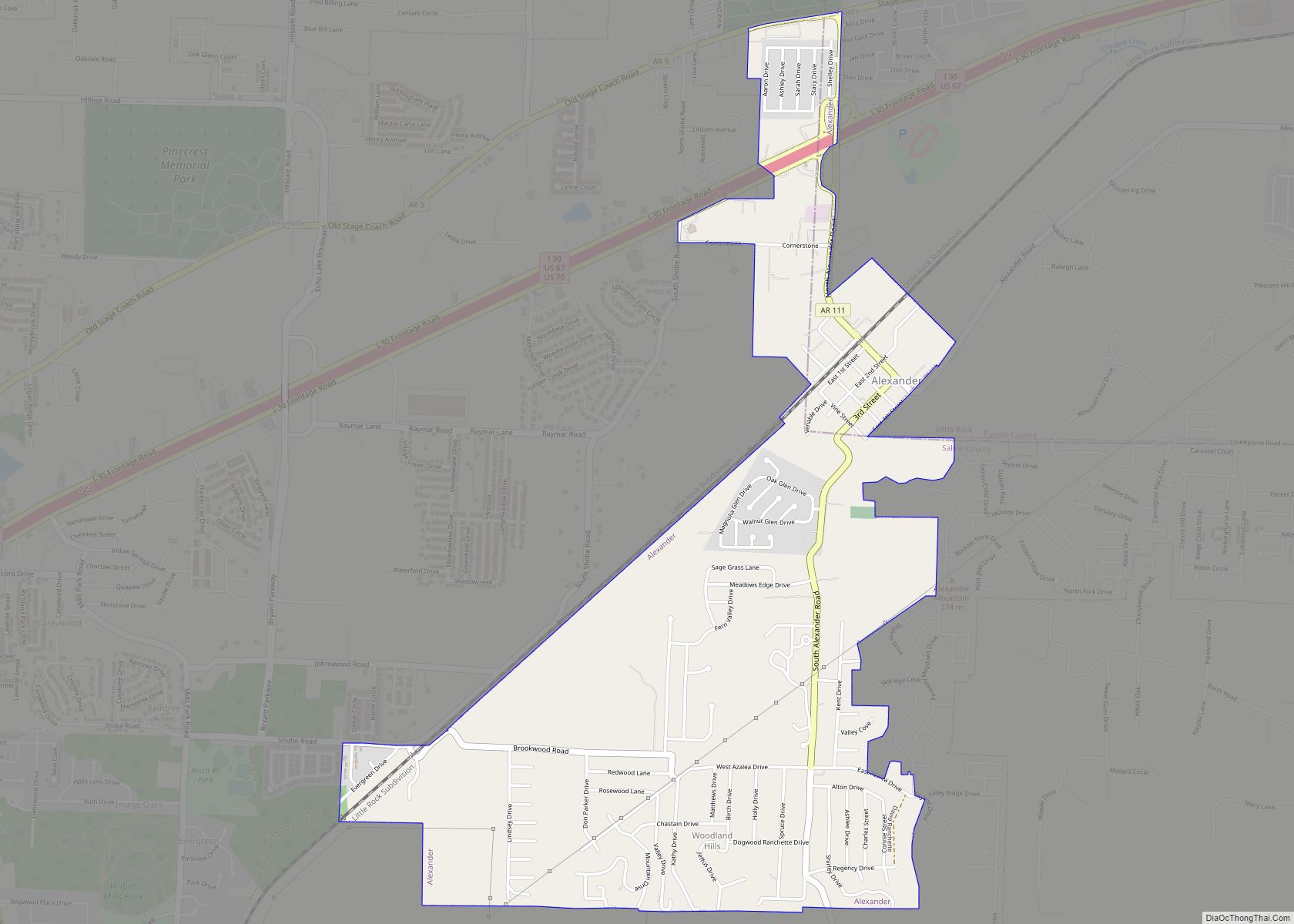
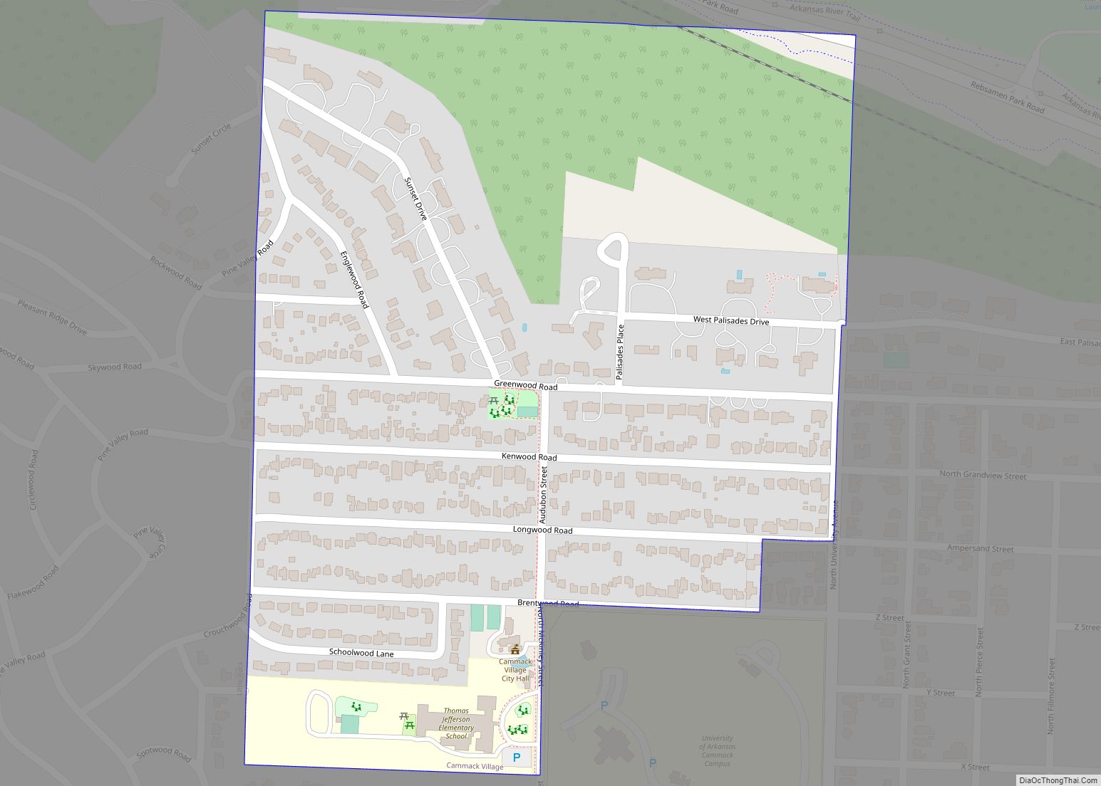
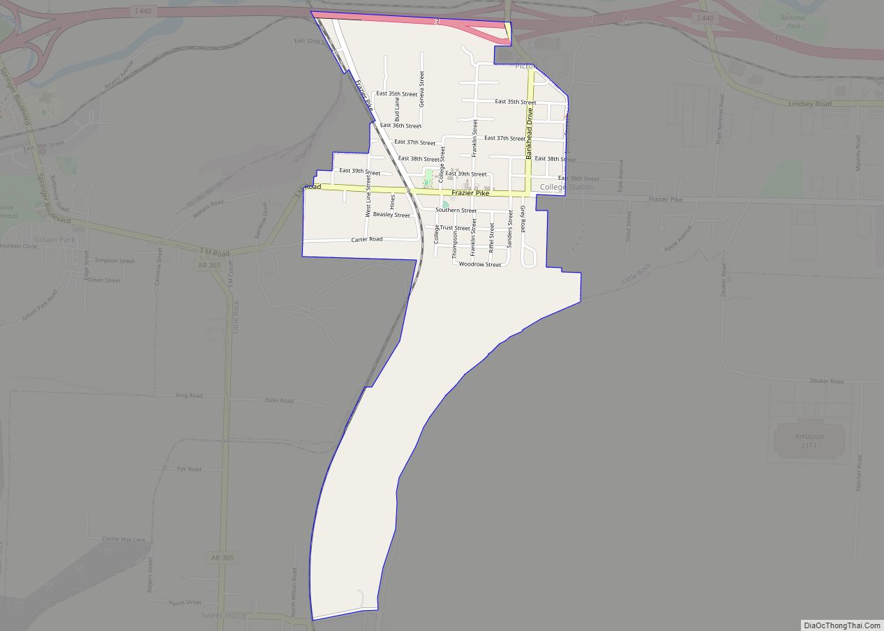
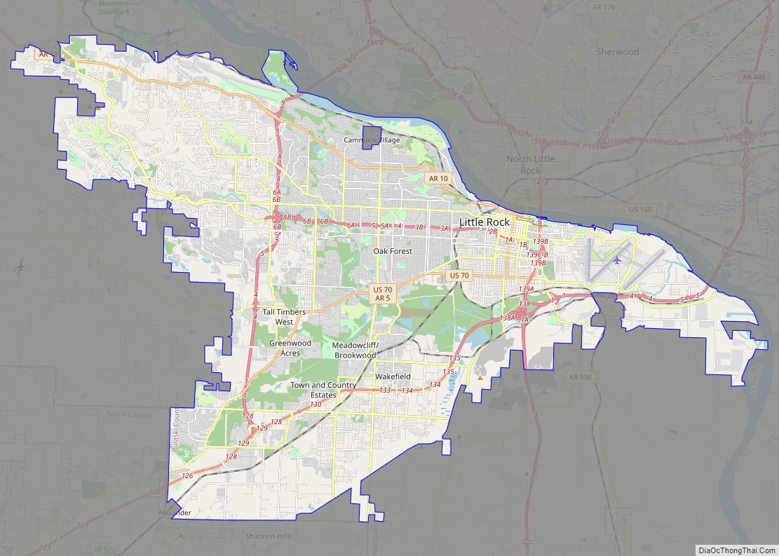
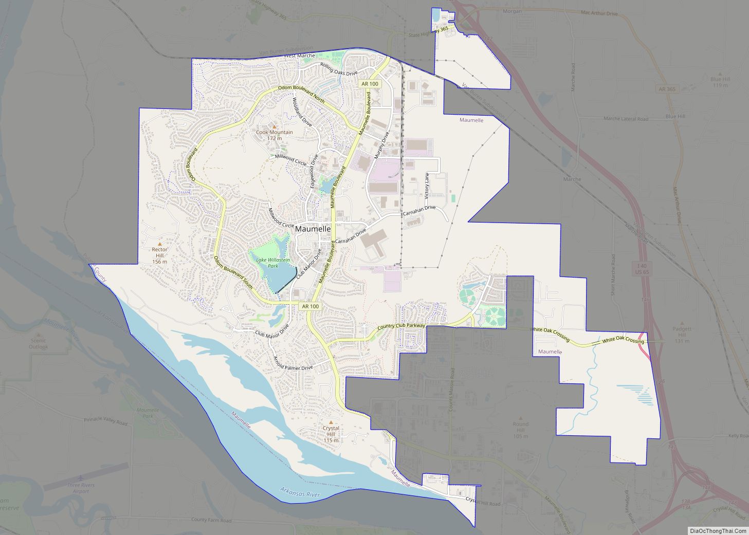
Online Interactive Map
Click on ![]() to view map in "full screen" mode.
to view map in "full screen" mode.
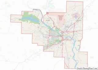
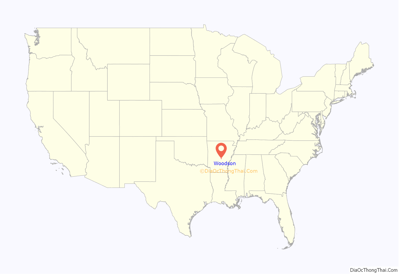
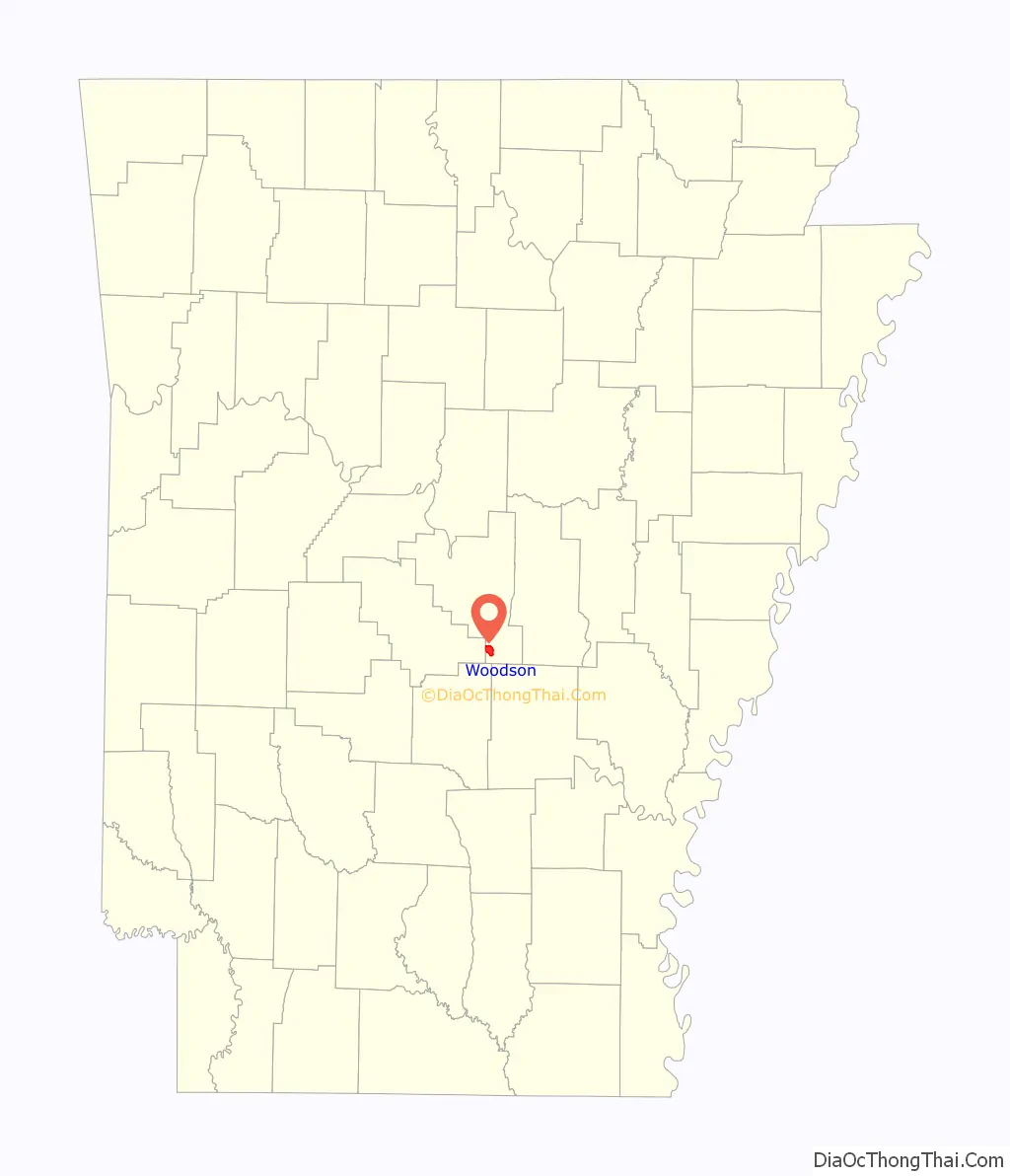
Woodson location map. Where is Woodson CDP?
History
Ed Wood, Sr. founded a settlement in central Arkansas after migrating from Alabama with his mother circa 1880. What is now called Woodson was known for much of the area’s early history as “Wood Hollow” in recognition of Ed Wood Sr. and his 1890 purchase of the first black-owned plantation in Arkansas.
In the period following Radical Reconstruction, Ed Wood, Sr. began hosting gathering of the Prince Hall Freemasonry, of which he was a founding member of the Arkansas Lodge and held rank of highest degree. It was in these meetings at the Wood Plantation that he became an associated with Scipio Africanus Jones, John E. Bush, Chester W. Keatts, and John Hamilton McConico. From these meetings, a vibrant African-American Establishment matured. Wood was able to sustain the Prince Hall Lodge, but his contemporaries spun off to form the Mosaic Templars of America.
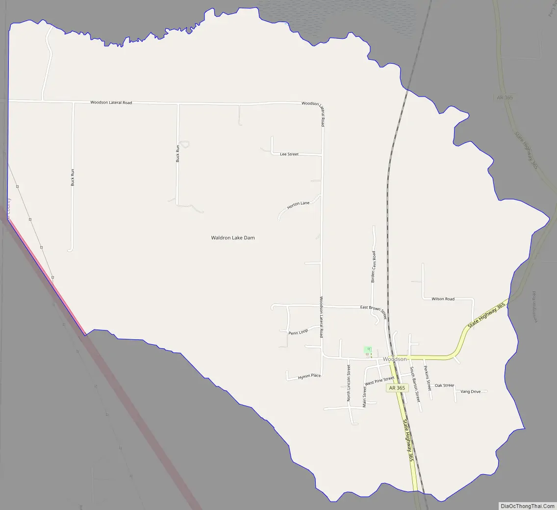
Woodson Road Map
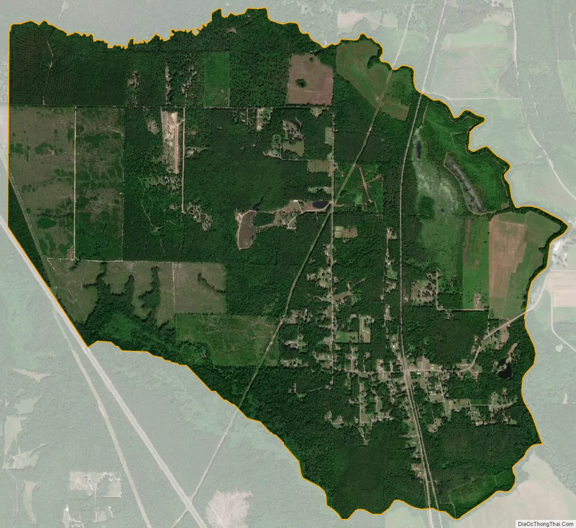
Woodson city Satellite Map
Geography
Woodson is located at 34°31′51″N 92°12′52″W / 34.530964°N 92.214511°W / 34.530964; -92.214511.
According to the United States Census Bureau, the CDP has a total area of 4.4 square miles (11 km), of which 4.3 square miles (11 km) is land and 0.1 square miles (0.26 km) (2.29%) is water.
See also
Map of Arkansas State and its subdivision:- Arkansas
- Ashley
- Baxter
- Benton
- Boone
- Bradley
- Calhoun
- Carroll
- Chicot
- Clark
- Clay
- Cleburne
- Cleveland
- Columbia
- Conway
- Craighead
- Crawford
- Crittenden
- Cross
- Dallas
- Desha
- Drew
- Faulkner
- Franklin
- Fulton
- Garland
- Grant
- Greene
- Hempstead
- Hot Spring
- Howard
- Independence
- Izard
- Jackson
- Jefferson
- Johnson
- Lafayette
- Lawrence
- Lee
- Lincoln
- Little River
- Logan
- Lonoke
- Madison
- Marion
- Miller
- Mississippi
- Monroe
- Montgomery
- Nevada
- Newton
- Ouachita
- Perry
- Phillips
- Pike
- Poinsett
- Polk
- Pope
- Prairie
- Pulaski
- Randolph
- Saint Francis
- Saline
- Scott
- Searcy
- Sebastian
- Sevier
- Sharp
- Stone
- Union
- Van Buren
- Washington
- White
- Woodruff
- Yell
- Alabama
- Alaska
- Arizona
- Arkansas
- California
- Colorado
- Connecticut
- Delaware
- District of Columbia
- Florida
- Georgia
- Hawaii
- Idaho
- Illinois
- Indiana
- Iowa
- Kansas
- Kentucky
- Louisiana
- Maine
- Maryland
- Massachusetts
- Michigan
- Minnesota
- Mississippi
- Missouri
- Montana
- Nebraska
- Nevada
- New Hampshire
- New Jersey
- New Mexico
- New York
- North Carolina
- North Dakota
- Ohio
- Oklahoma
- Oregon
- Pennsylvania
- Rhode Island
- South Carolina
- South Dakota
- Tennessee
- Texas
- Utah
- Vermont
- Virginia
- Washington
- West Virginia
- Wisconsin
- Wyoming