Wrightsville is a city in Pulaski County, Arkansas, United States. Its population was 1,542 at the 2020 census. It is part of the Little Rock–North Little Rock–Conway Metropolitan Statistical Area. Located on Highway 365, Wrightsville existed as an unincorporated community for more than a century before it was incorporated late in the 20th century. Since 1981, it has been home to a major Arkansas Department of Corrections facility, which is the principal employer.
| Name: | Wrightsville city |
|---|---|
| LSAD Code: | 25 |
| LSAD Description: | city (suffix) |
| State: | Arkansas |
| County: | Pulaski County |
| Founded: | July 14, 1873 (1873-07-14) |
| Incorporated: | June 2, 1982 (1982-06-02) |
| Elevation: | 256 ft (78 m) |
| Total Area: | 2.14 sq mi (5.53 km²) |
| Land Area: | 2.12 sq mi (5.48 km²) |
| Water Area: | 0.02 sq mi (0.05 km²) |
| Total Population: | 1,542 |
| Population Density: | 728.73/sq mi (281.34/km²) |
| ZIP code: | 72183 |
| Area code: | 501 |
| FIPS code: | 0576970 |
| GNISfeature ID: | 56563 |
| Website: | cityofwrightsville-ar.org |
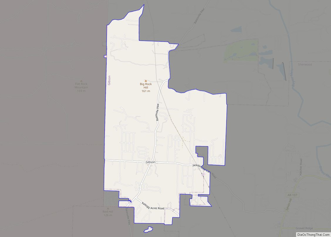
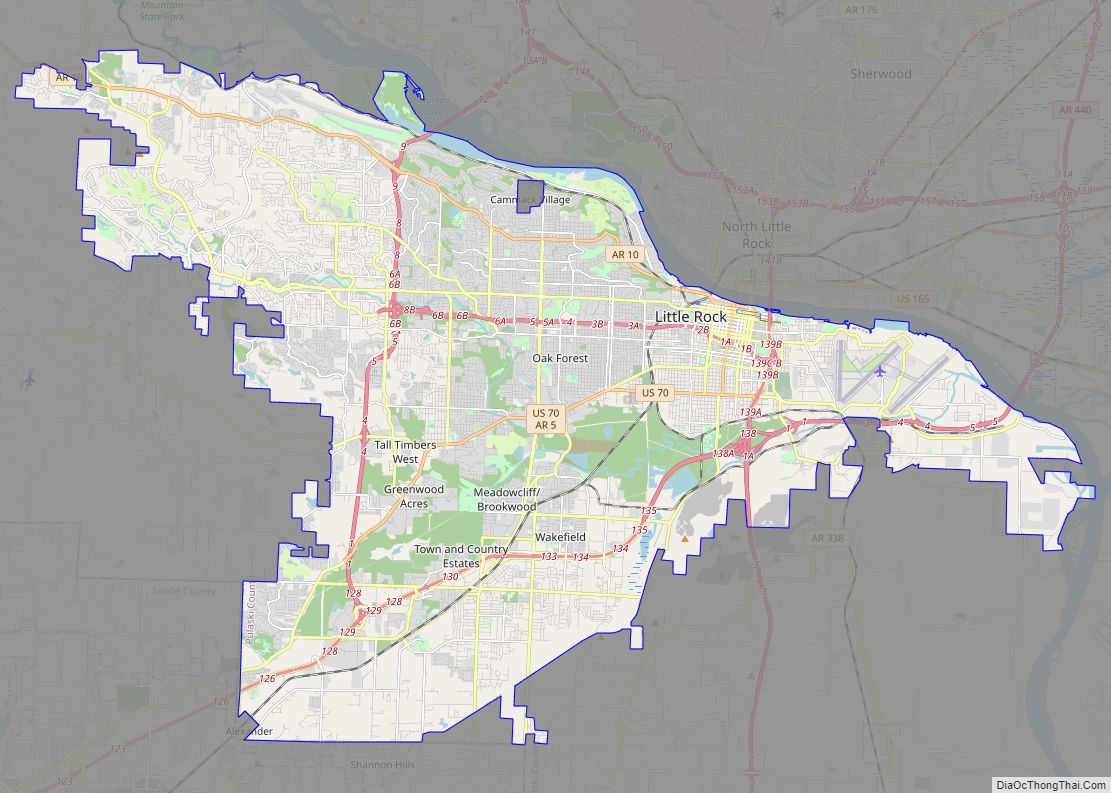
Online Interactive Map
Click on ![]() to view map in "full screen" mode.
to view map in "full screen" mode.
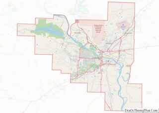
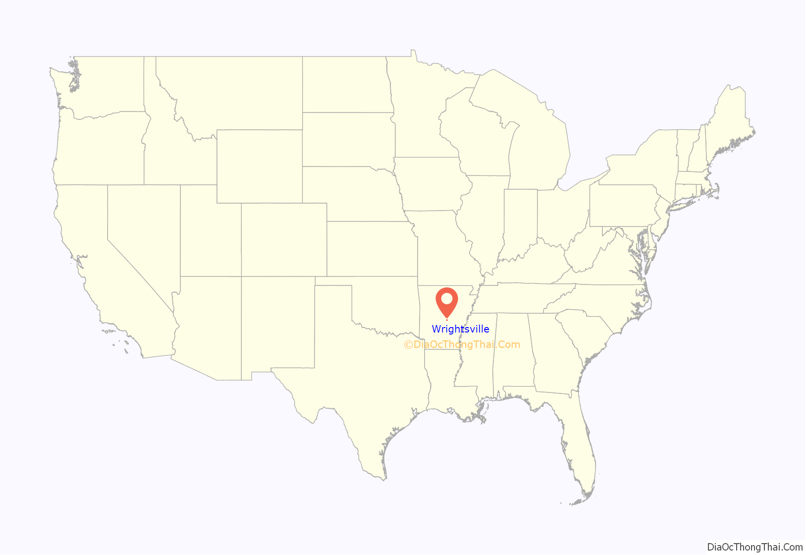
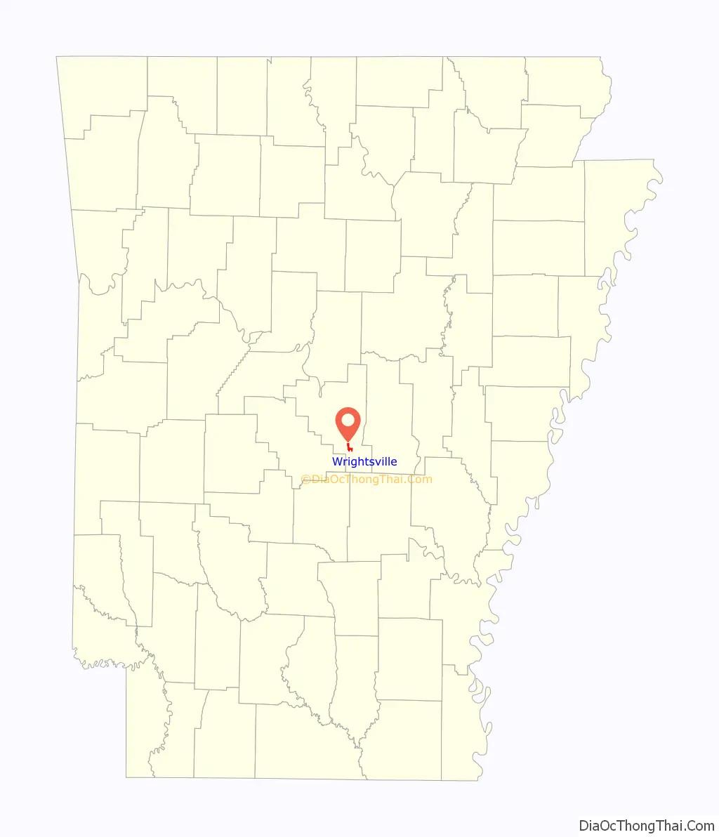
Wrightsville location map. Where is Wrightsville city?
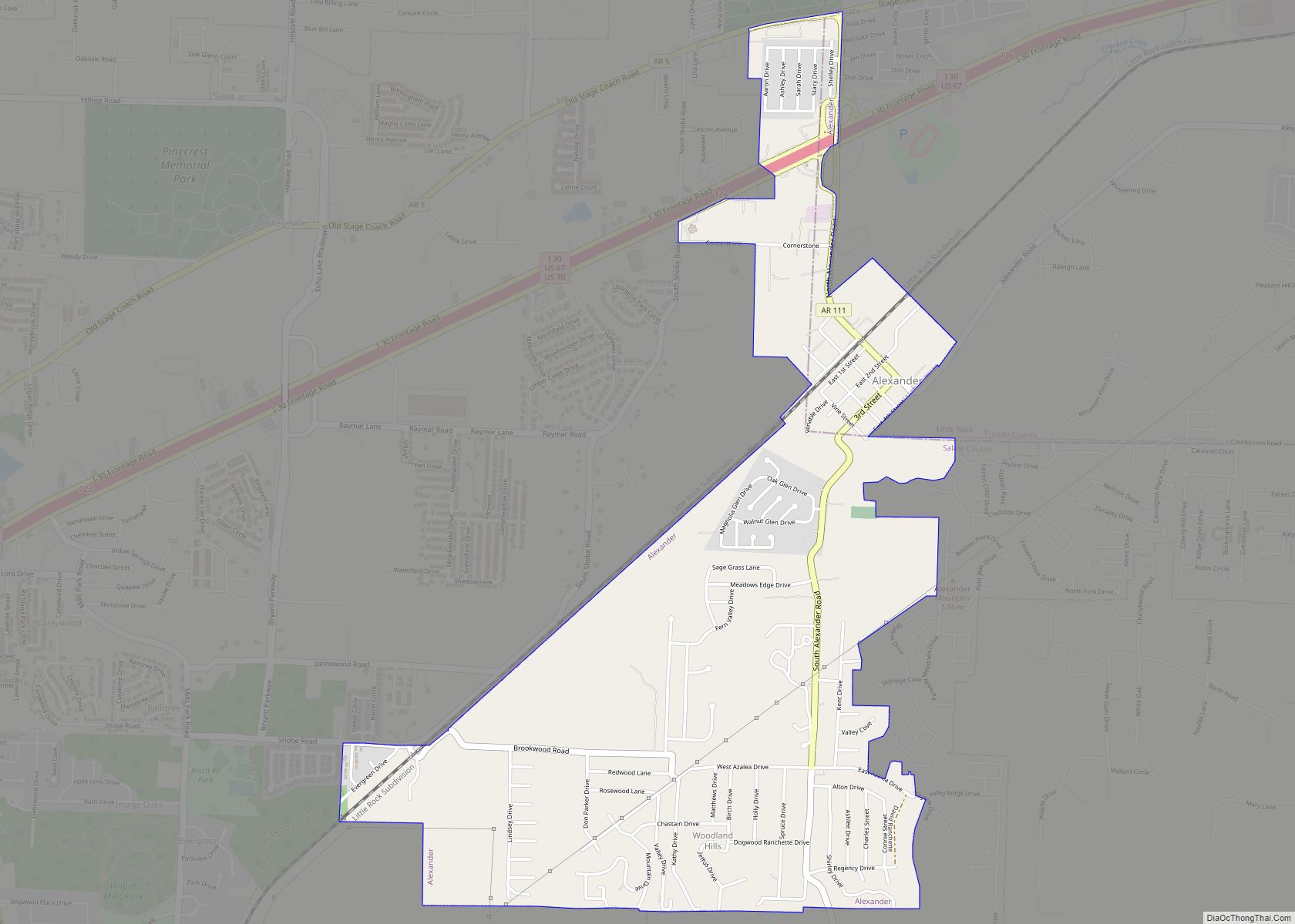
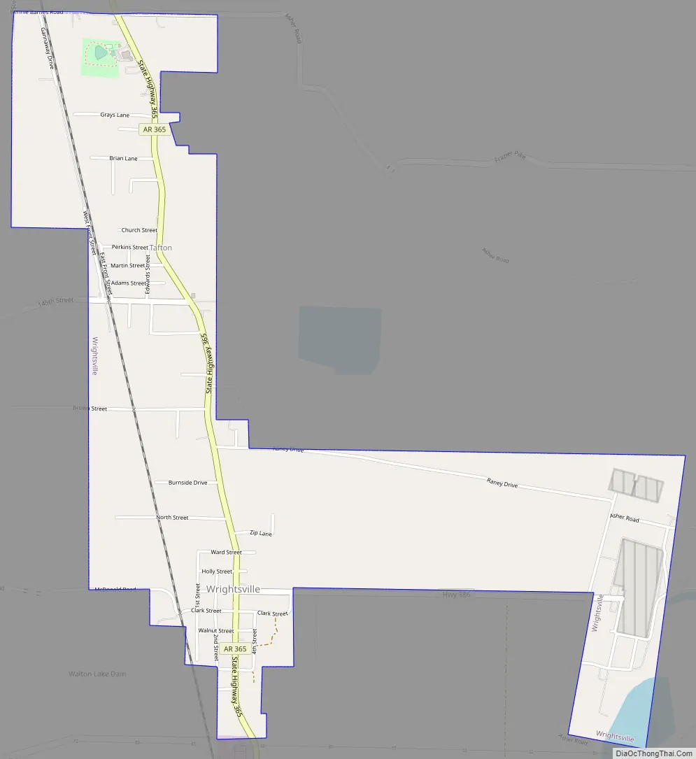
Wrightsville Road Map
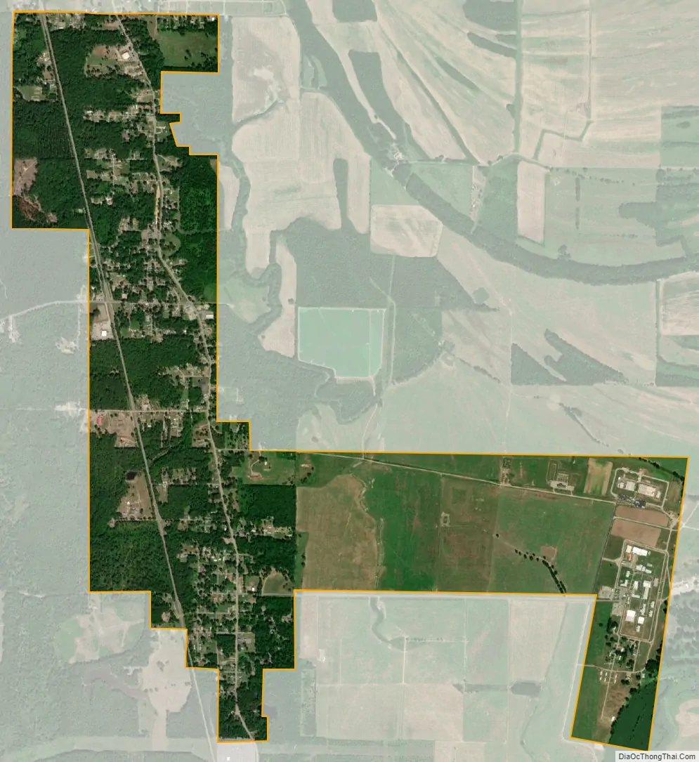
Wrightsville city Satellite Map
Geography
Wrightsville is located at 34°36′38″N 92°13′2″W / 34.61056°N 92.21722°W / 34.61056; -92.21722 (34.610434, −92.217113). According to the United States Census Bureau, the city has a total area of 2.1 square miles (5.4 km), of which 2.0 square miles (5.2 km) is land and 0.49% is water.
See also
Map of Arkansas State and its subdivision:- Arkansas
- Ashley
- Baxter
- Benton
- Boone
- Bradley
- Calhoun
- Carroll
- Chicot
- Clark
- Clay
- Cleburne
- Cleveland
- Columbia
- Conway
- Craighead
- Crawford
- Crittenden
- Cross
- Dallas
- Desha
- Drew
- Faulkner
- Franklin
- Fulton
- Garland
- Grant
- Greene
- Hempstead
- Hot Spring
- Howard
- Independence
- Izard
- Jackson
- Jefferson
- Johnson
- Lafayette
- Lawrence
- Lee
- Lincoln
- Little River
- Logan
- Lonoke
- Madison
- Marion
- Miller
- Mississippi
- Monroe
- Montgomery
- Nevada
- Newton
- Ouachita
- Perry
- Phillips
- Pike
- Poinsett
- Polk
- Pope
- Prairie
- Pulaski
- Randolph
- Saint Francis
- Saline
- Scott
- Searcy
- Sebastian
- Sevier
- Sharp
- Stone
- Union
- Van Buren
- Washington
- White
- Woodruff
- Yell
- Alabama
- Alaska
- Arizona
- Arkansas
- California
- Colorado
- Connecticut
- Delaware
- District of Columbia
- Florida
- Georgia
- Hawaii
- Idaho
- Illinois
- Indiana
- Iowa
- Kansas
- Kentucky
- Louisiana
- Maine
- Maryland
- Massachusetts
- Michigan
- Minnesota
- Mississippi
- Missouri
- Montana
- Nebraska
- Nevada
- New Hampshire
- New Jersey
- New Mexico
- New York
- North Carolina
- North Dakota
- Ohio
- Oklahoma
- Oregon
- Pennsylvania
- Rhode Island
- South Carolina
- South Dakota
- Tennessee
- Texas
- Utah
- Vermont
- Virginia
- Washington
- West Virginia
- Wisconsin
- Wyoming