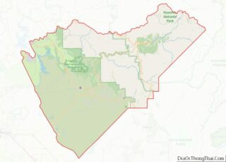
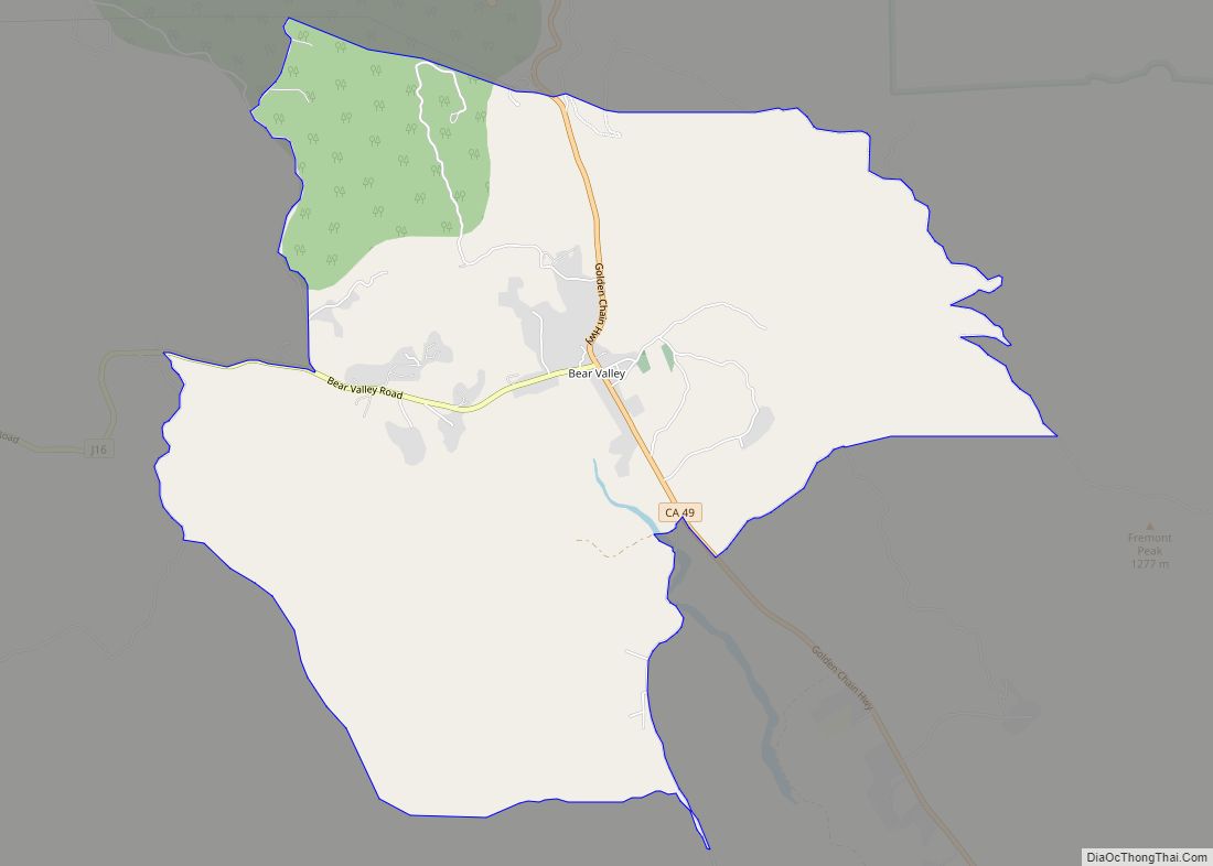
Bear Valley (formerly Haydenville, Biddle’s Camp, Biddleville, Simpsonville, and Johnsonville) is a census-designated place in Mariposa County, California, United States. It is located 10.5 miles (16.9 km) south-southeast of Coulterville, at an elevation of 2,054 feet (626 m). Bear Valley has been designated California Historical Landmark #331. The population was 156 at the 2020 census.
| Name: | Bear Valley CDP |
|---|---|
| LSAD Code: | 57 |
| LSAD Description: | CDP (suffix) |
| State: | California |
| County: | Mariposa County |
| Elevation: | 2,054 ft (626 m) |
| Total Area: | 2.44 sq mi (6.32 km²) |
| Land Area: | 2.44 sq mi (6.32 km²) |
| Water Area: | 0.00 sq mi (0.00 km²) 0.1% |
| Total Population: | 156 |
| Population Density: | 64/sq mi (25/km²) |
| ZIP code: | 95338 (Mariposa) |
| FIPS code: | 0604730 |
| GNISfeature ID: | 1659693 2582941 |
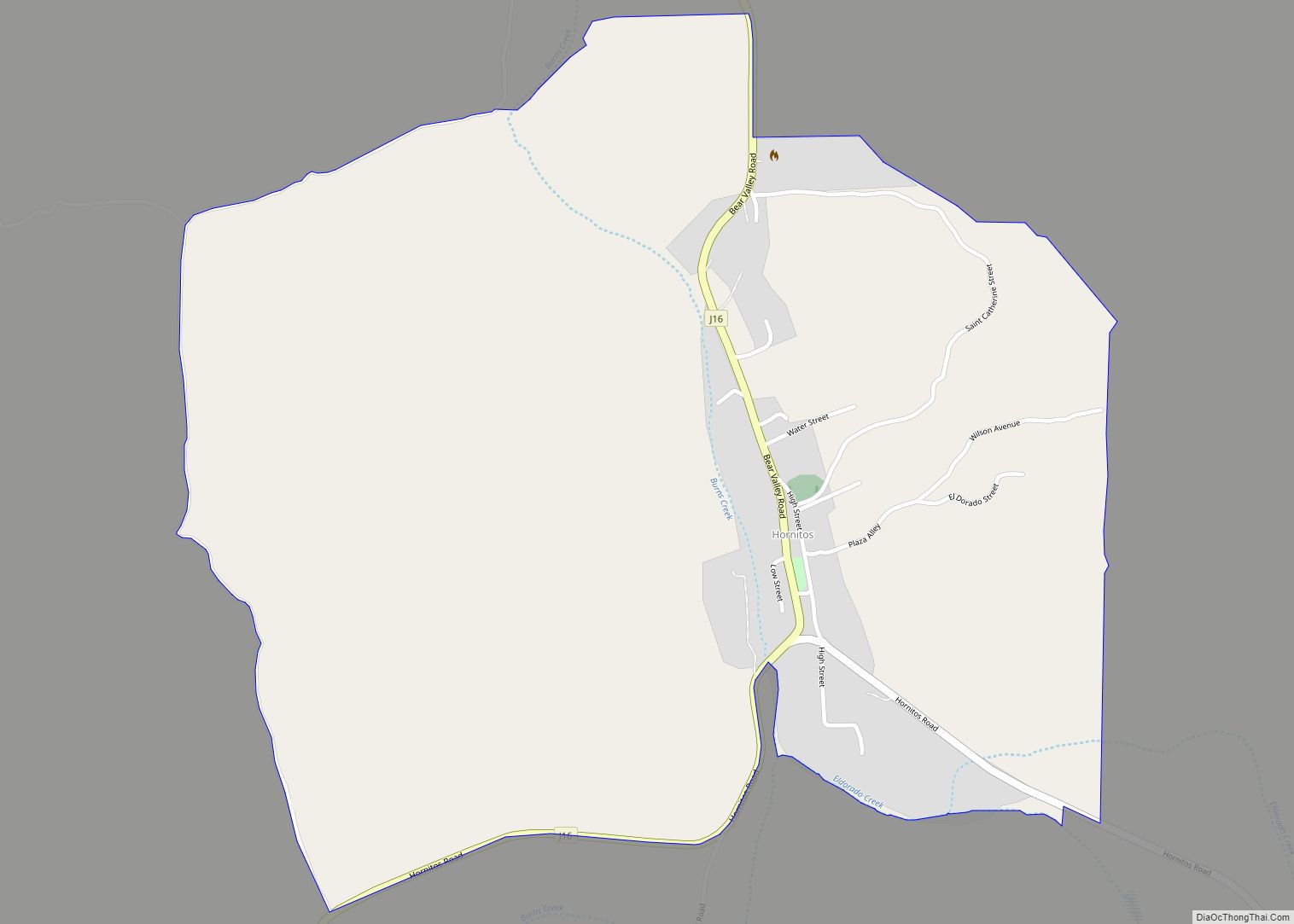
Online Interactive Map
Click on ![]() to view map in "full screen" mode.
to view map in "full screen" mode.
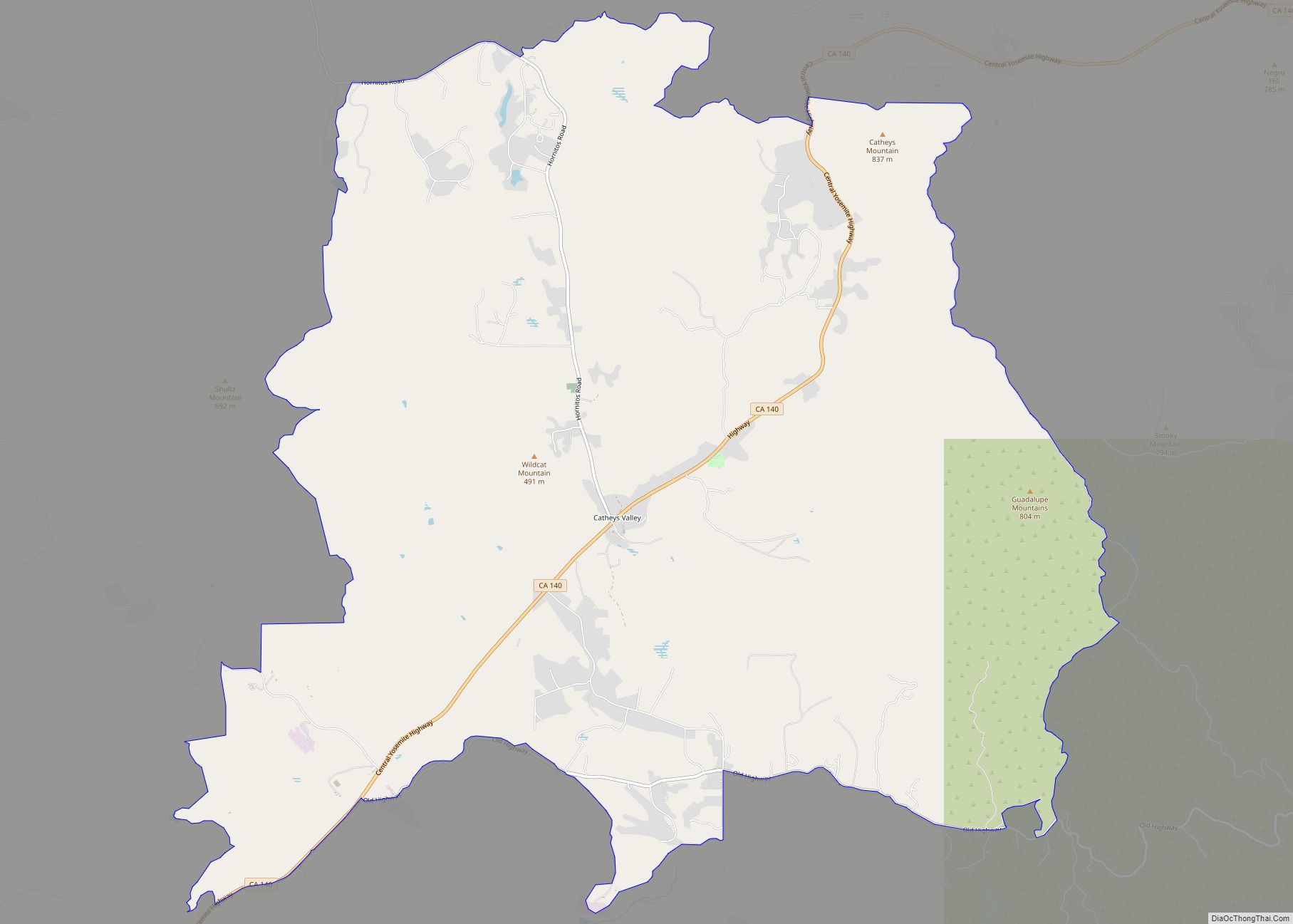
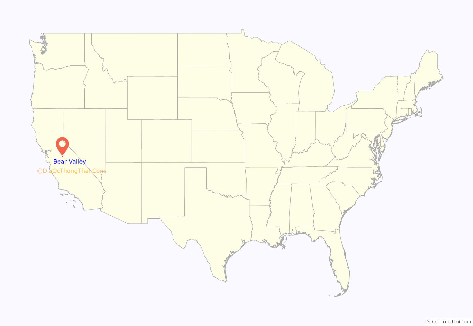
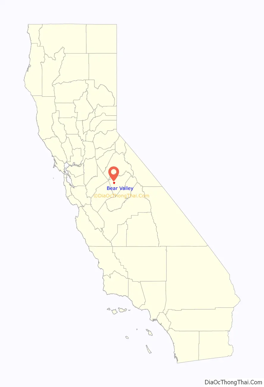
Bear Valley location map. Where is Bear Valley CDP?
History
The place was originally called “Haydenville” in honor of David, Charles, and William Hayden, gold miners. The place later bore the names “Biddle’s Camp” and “Biddleville” in honor of William C. Biddle. It later was named “Simpsonville” in honor of Robert Simpson, local merchant. The name “Johnsonville” honored John F. Johnson. The name became Bear Valley in 1858.
The Haydenville post office opened before January 21, 1851, and closed in 1852. The Bear Valley post office operated from 1858 to 1912, from 1914 to 1919, and from 1933 to 1955.
In 1847, John C. Frémont, a veteran of the Bear Flag Revolt, decided to settle down in the San Francisco Bay Area. Desiring a ranch near San Jose, he sent $3,000 to the American consul Thomas O. Larkin. Instead of his intended purchase, he was sold Rancho Las Mariposas, consisting of 44,387 acres (179.6 km) in the southern Sierra Nevada foothills around Bear Valley. The original Mexican grant was a “floating grant”, a grant of land for which the area was precisely given but the actual boundaries were left unspecified (usually due to inadequate surveys of the areas involved). After the beginning of the California Gold Rush in 1848, Fremont moved his grant’s borders into the hills. Those hills proved to be lucrative, and his mining operations centered in Bear Valley.
At its peak, Bear Valley had a population of 3,000. During 1850-60 when Frémont’s Pine Tree and Josephine Mines were producing, Frémont built an elegant hotel, Oso House; the structure, like many in the area, burned in the late 19th century. Frémont lived and worked in the city, and his large home was nicknamed the Little White House, coincidentally built two years after he was the first Republican Party candidate for US President; the home burned in 1866.
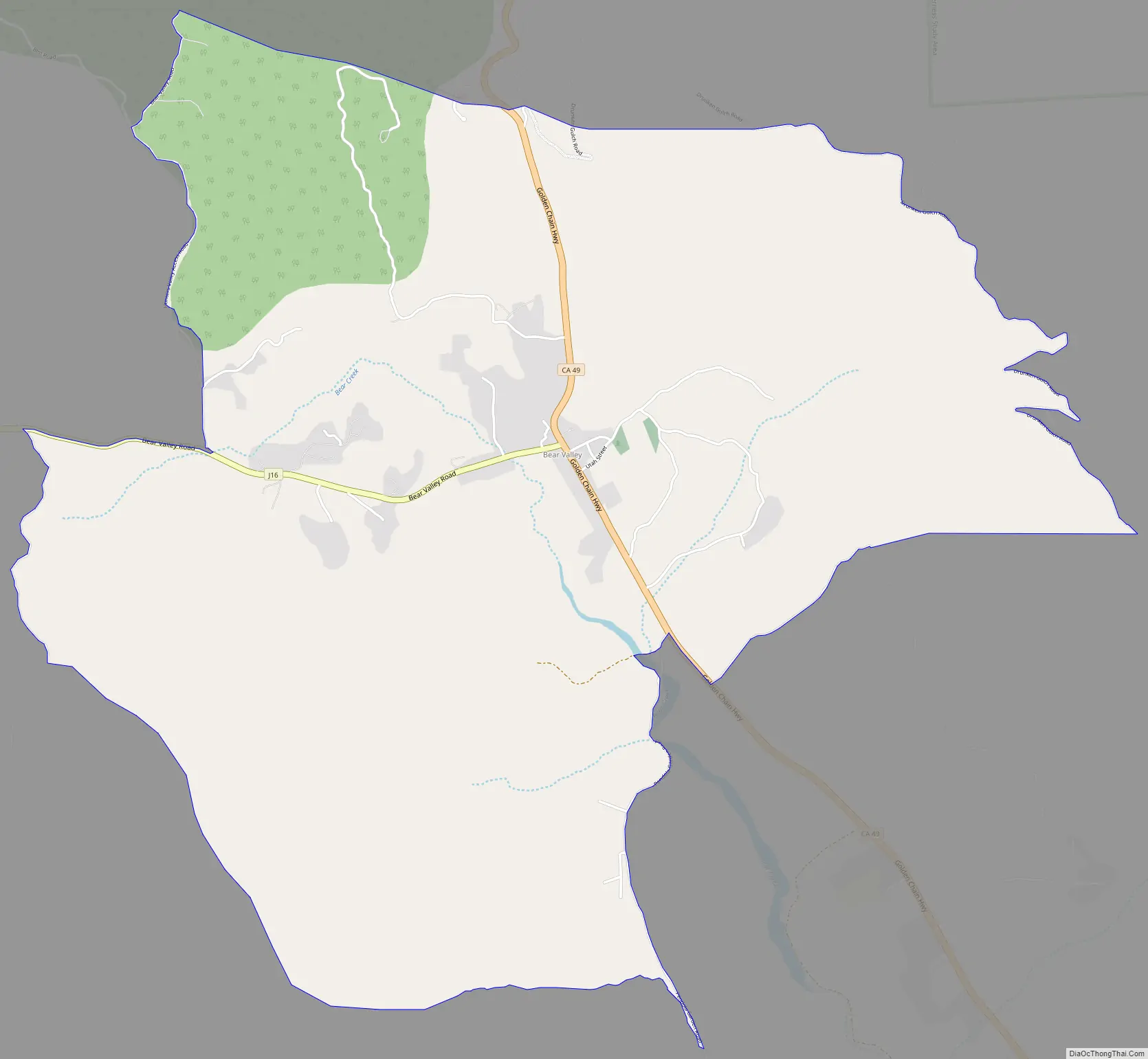
Bear Valley Road Map
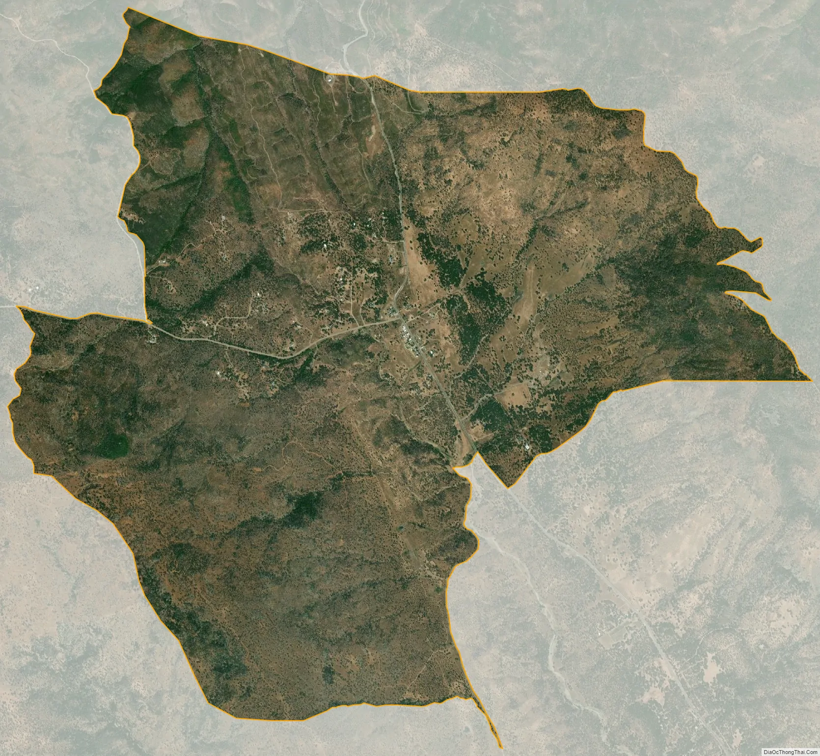
Bear Valley city Satellite Map
Geography
Bear Valley is in west-central Mariposa County in the foothills of the Sierra Nevada. California State Route 49 passes through the community, leading southeast 11 miles (18 km) to Mariposa, the county seat, and northwest through the Merced River canyon 15 miles (24 km) to Coulterville. According to the United States Census Bureau, the CDP covers 2.44 square miles (6.32 km), of which 0.001 square miles (0.64 acres), or 0.04%, are water.
See also
Map of California State and its subdivision:- Alameda
- Alpine
- Amador
- Butte
- Calaveras
- Colusa
- Contra Costa
- Del Norte
- El Dorado
- Fresno
- Glenn
- Humboldt
- Imperial
- Inyo
- Kern
- Kings
- Lake
- Lassen
- Los Angeles
- Madera
- Marin
- Mariposa
- Mendocino
- Merced
- Modoc
- Mono
- Monterey
- Napa
- Nevada
- Orange
- Placer
- Plumas
- Riverside
- Sacramento
- San Benito
- San Bernardino
- San Diego
- San Francisco
- San Joaquin
- San Luis Obispo
- San Mateo
- Santa Barbara
- Santa Clara
- Santa Cruz
- Shasta
- Sierra
- Siskiyou
- Solano
- Sonoma
- Stanislaus
- Sutter
- Tehama
- Trinity
- Tulare
- Tuolumne
- Ventura
- Yolo
- Yuba
- Alabama
- Alaska
- Arizona
- Arkansas
- California
- Colorado
- Connecticut
- Delaware
- District of Columbia
- Florida
- Georgia
- Hawaii
- Idaho
- Illinois
- Indiana
- Iowa
- Kansas
- Kentucky
- Louisiana
- Maine
- Maryland
- Massachusetts
- Michigan
- Minnesota
- Mississippi
- Missouri
- Montana
- Nebraska
- Nevada
- New Hampshire
- New Jersey
- New Mexico
- New York
- North Carolina
- North Dakota
- Ohio
- Oklahoma
- Oregon
- Pennsylvania
- Rhode Island
- South Carolina
- South Dakota
- Tennessee
- Texas
- Utah
- Vermont
- Virginia
- Washington
- West Virginia
- Wisconsin
- Wyoming