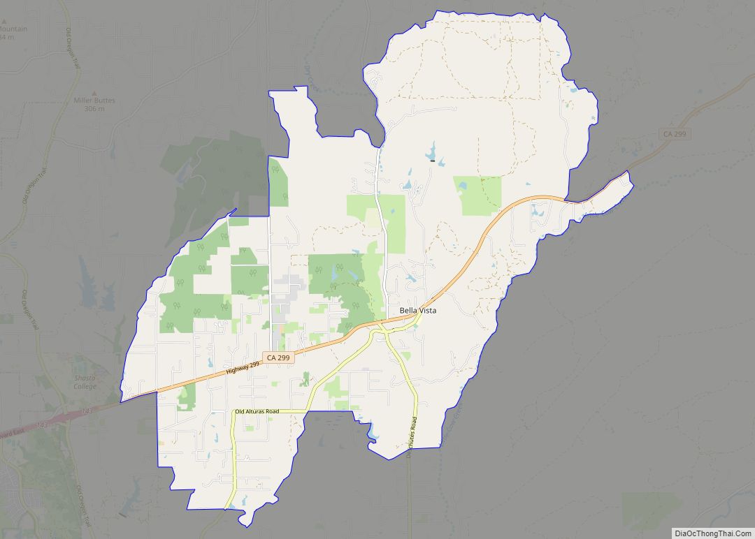
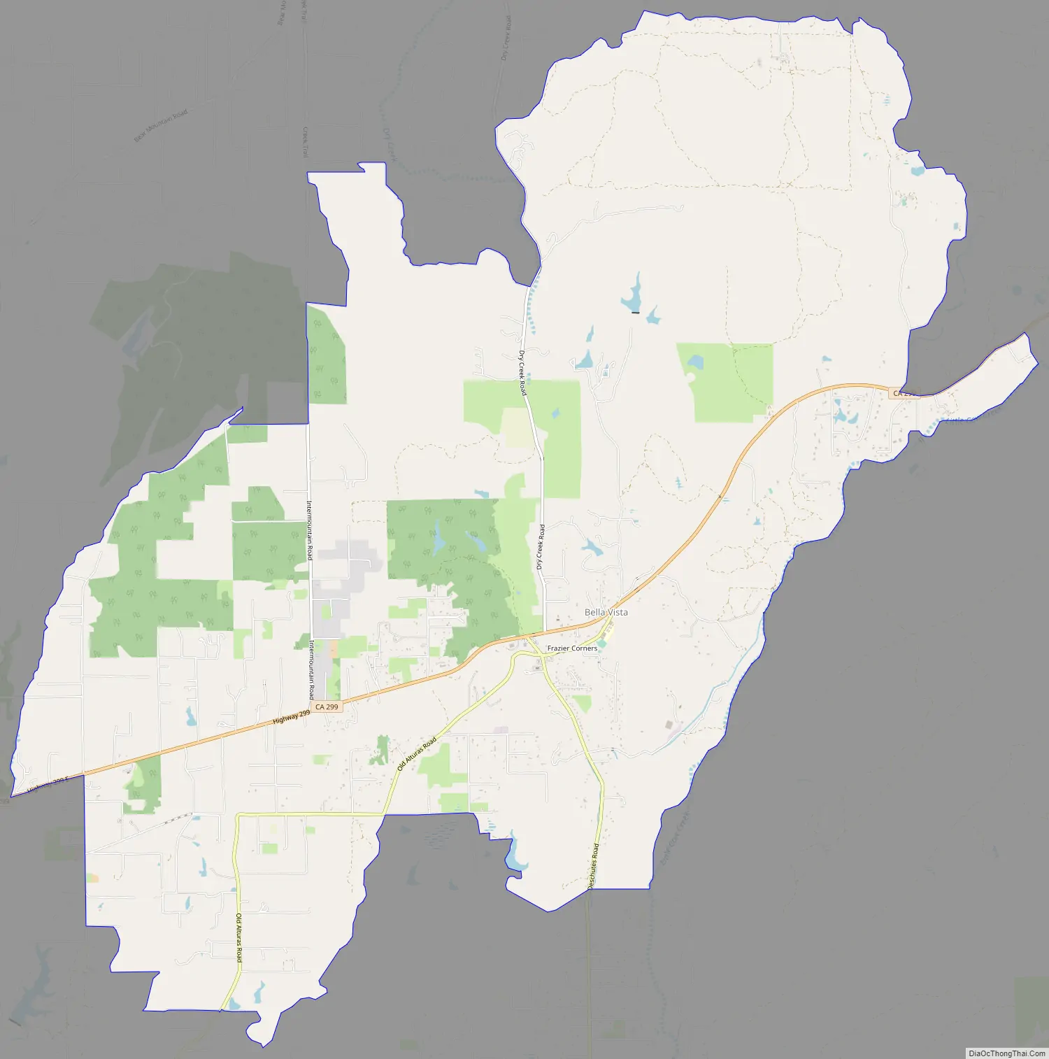
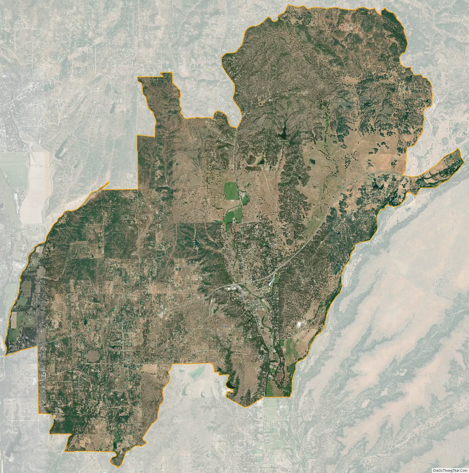
Bella Vista (Spanish for “Beautiful View”) is a census-designated place (CDP) in Shasta County, California. Bella Vista is a small, rural community about 9 miles (14 km) northeast of Redding, and about 5 miles (8.0 km) north of Palo Cedro. Its population is 3,641 as of the 2020 census, up from 2,781 from the 2010 census. Historically, Bella Vista was a semi-large lumber town which hosted its own railroad.
| Name: | Bella Vista CDP |
|---|---|
| LSAD Code: | 57 |
| LSAD Description: | CDP (suffix) |
| State: | California |
| County: | Shasta County |
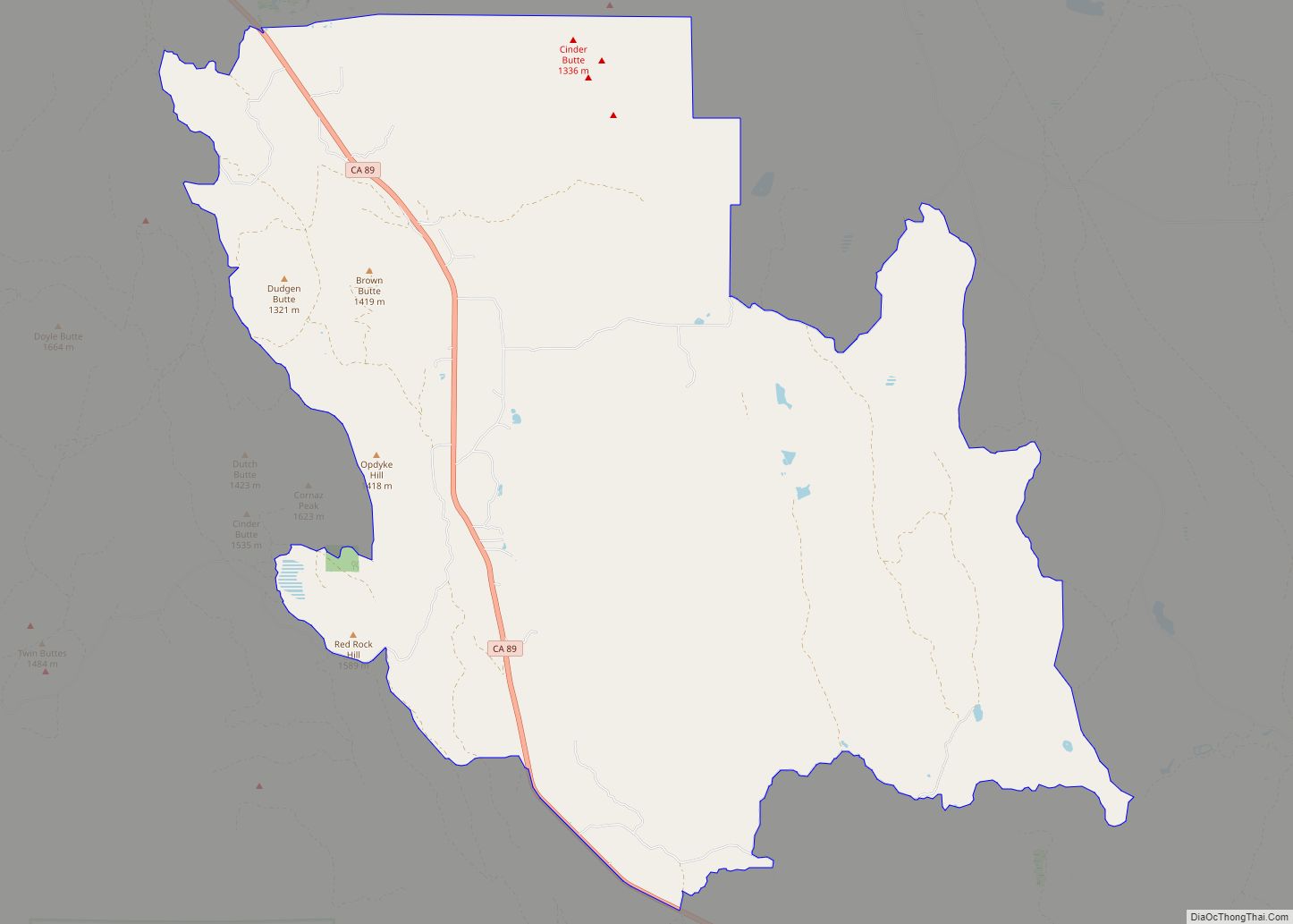
| Elevation: | 656 ft (200 m) |
| Total Area: | 26.64 sq mi (68.99 km²) |
| Land Area: | 26.44 sq mi (68.49 km²) |
| Water Area: | 0.20 sq mi (0.51 km²) 0.64% |
| Total Population: | 3,641 |
| Population Density: | 137.70/sq mi (53.16/km²) |
| ZIP code: | 96008 |
| FIPS code: | 0604926 |
| GNISfeature ID: | 2582942 |
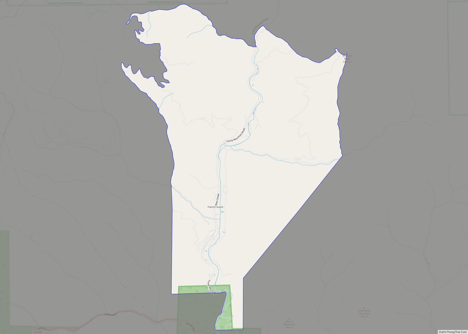
Online Interactive Map
Click on ![]() to view map in "full screen" mode.
to view map in "full screen" mode.
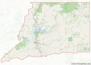
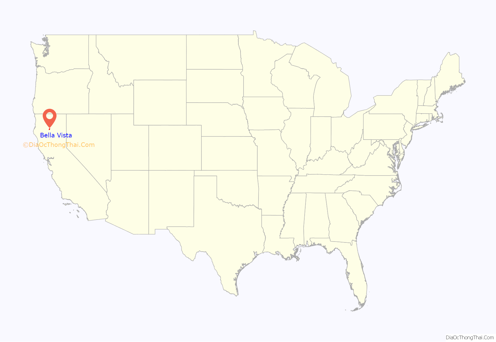
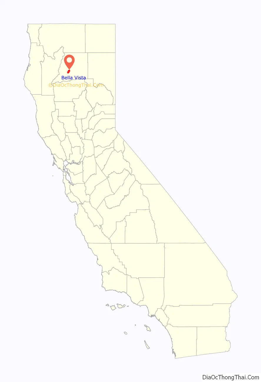
Bella Vista location map. Where is Bella Vista CDP?
History
Bella Vista was once a thriving Lumber town. A lumber flume fed a mill at the present day location of the end of Meyers Road and Deschutes. The flume was completed by the Shasta Lumber Company in August 1888 when it reached Bella Vista. The lumber flume was a V-shape structure which was elevated to 90’ in height and supported by scaffolds. Lumber from nearby Round Mountain was shipping via the flume to the mill at Bella Vista where it would be treated and sent south to the railhead at Anderson CA. Present day Bella Vista was the end of the lumber flume and the site was originally called, the dump, because it was the dumping point of the lumber coming off the lumber flume. The original town site was established with a general merchandise store owned by the Shasta Lumber Company, company offices, a planning mill and additional buildings. Bella Vista was once a thriving community and at its peak, hosted a population of 2,000. Bella Vista’s community consisted of saloons, barber shops and various stores, including gas stations.
Bella Vista once hosted the Anderson and Bella Vista Railway which was a 15-mile freight carrier that hauled lumber and other commodities to the Southern Pacific railhead in Anderson CA. The bottleneck of the operation was the transfer of the lumber from the mill at Bella Vista to the nearest rail connection, which was 10 miles away in Anderson CA and on the wrong side of the Sacramento River. In about 1891, work began on the Anderson & Bella Vista Railroad down the valley of Cow Creek to the Southern Pacific railhead in Anderson. The railroad was abandoned in the 1930s and torn up shortly after.
The distance of this lumber flume was 32-miles long from its start at Hatchet Mountain to its dumping point. From the dump, the Shasta Lumber Company wanted to continue construction of the lumber flume towards Anderson, but the valley terrain was too level to allow the lumber flume to operate and they had to think of additional methods to transport their lumber from the dump to the Southern Pacific’s station in Anderson for their product to be shipped to the market.
Bella Vista Road Map
Bella Vista city Satellite Map
Geography
According to the United States Census Bureau, the CDP covers an area of 22.3 square miles (57.9 km), 99.36% of it land and 0.64% of it water.
See also
Map of California State and its subdivision:- Alameda
- Alpine
- Amador
- Butte
- Calaveras
- Colusa
- Contra Costa
- Del Norte
- El Dorado
- Fresno
- Glenn
- Humboldt
- Imperial
- Inyo
- Kern
- Kings
- Lake
- Lassen
- Los Angeles
- Madera
- Marin
- Mariposa
- Mendocino
- Merced
- Modoc
- Mono
- Monterey
- Napa
- Nevada
- Orange
- Placer
- Plumas
- Riverside
- Sacramento
- San Benito
- San Bernardino
- San Diego
- San Francisco
- San Joaquin
- San Luis Obispo
- San Mateo
- Santa Barbara
- Santa Clara
- Santa Cruz
- Shasta
- Sierra
- Siskiyou
- Solano
- Sonoma
- Stanislaus
- Sutter
- Tehama
- Trinity
- Tulare
- Tuolumne
- Ventura
- Yolo
- Yuba
- Alabama
- Alaska
- Arizona
- Arkansas
- California
- Colorado
- Connecticut
- Delaware
- District of Columbia
- Florida
- Georgia
- Hawaii
- Idaho
- Illinois
- Indiana
- Iowa
- Kansas
- Kentucky
- Louisiana
- Maine
- Maryland
- Massachusetts
- Michigan
- Minnesota
- Mississippi
- Missouri
- Montana
- Nebraska
- Nevada
- New Hampshire
- New Jersey
- New Mexico
- New York
- North Carolina
- North Dakota
- Ohio
- Oklahoma
- Oregon
- Pennsylvania
- Rhode Island
- South Carolina
- South Dakota
- Tennessee
- Texas
- Utah
- Vermont
- Virginia
- Washington
- West Virginia
- Wisconsin
- Wyoming