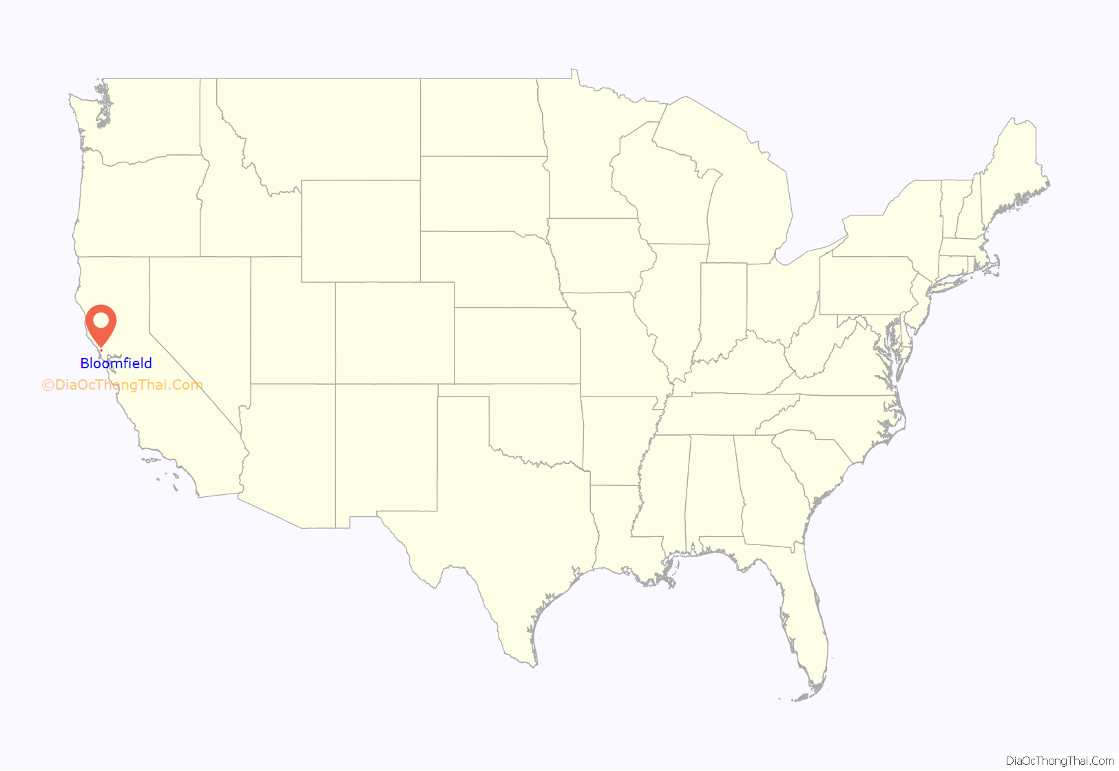
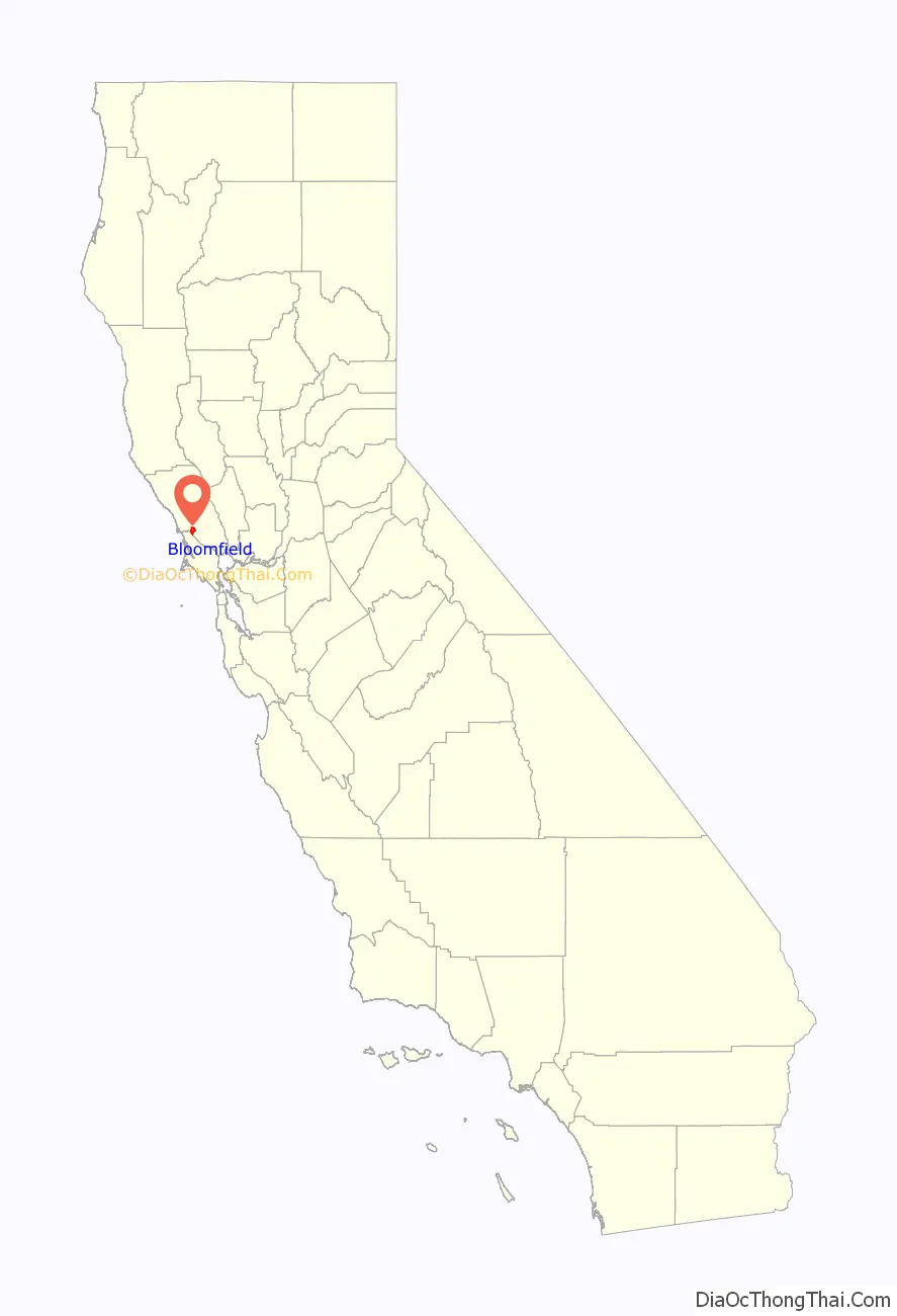
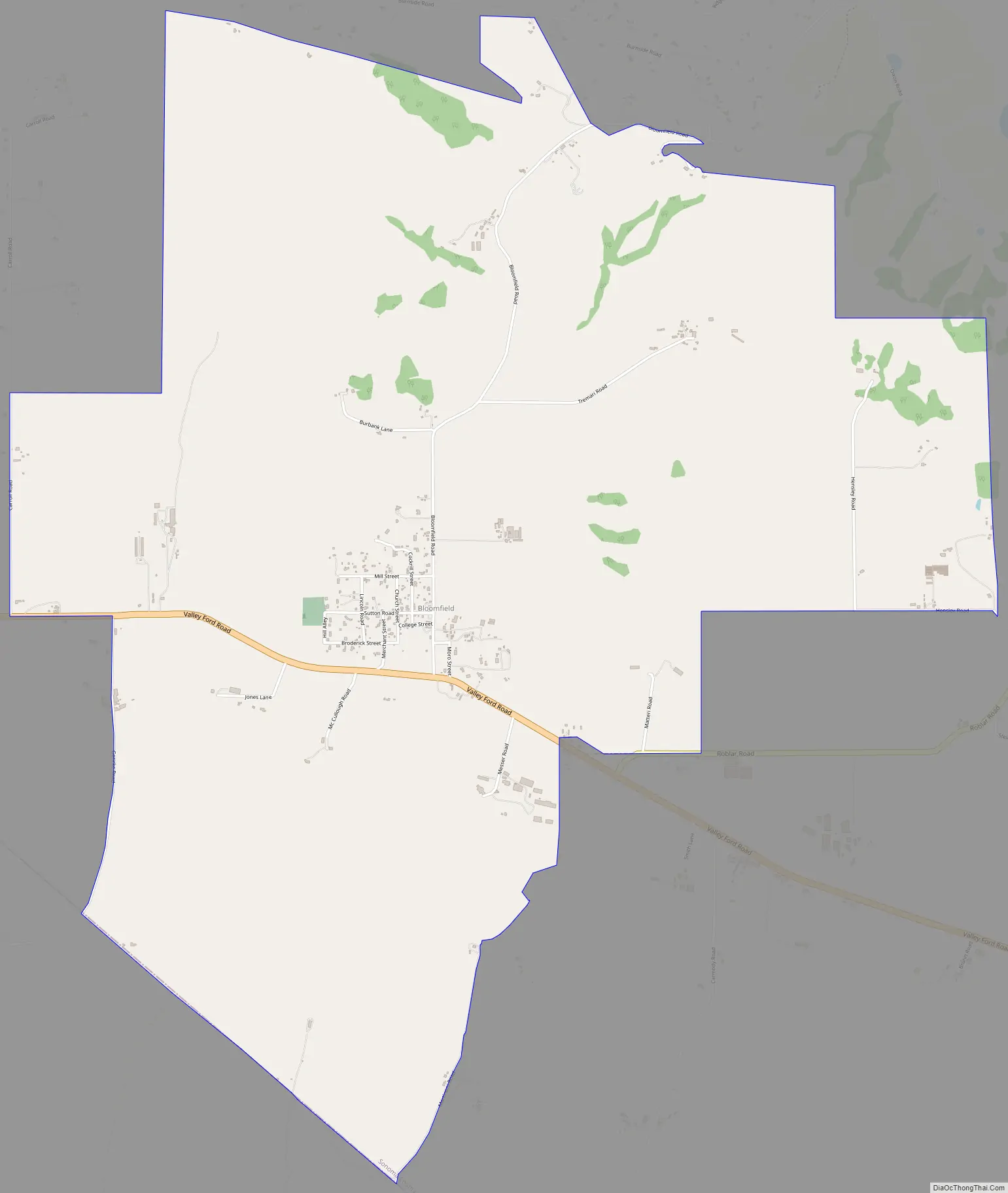
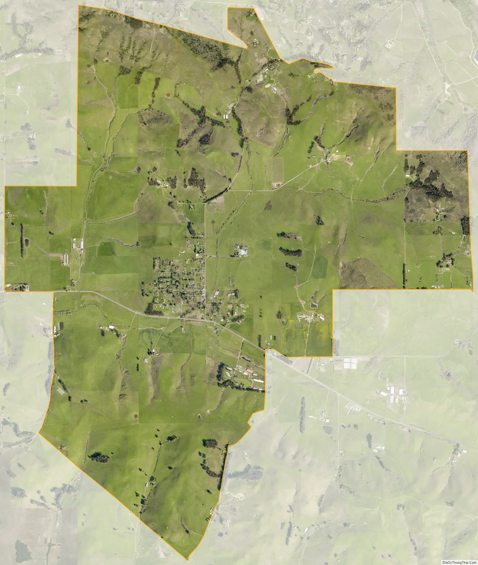
Bloomfield is a census-designated place in Sonoma County, California, U.S. It is located in a rural area about 11 miles (18 km) southwest of Santa Rosa at the junction of Bloomfield Road and Valley Ford Road. Americano Creek flows westward along the south edge of the town.
| Name: | Bloomfield CDP |
|---|---|
| LSAD Code: | 57 |
| LSAD Description: | CDP (suffix) |
| State: | California |
| County: | Sonoma County |
| Elevation: | 56 ft (17 m) |
| Total Area: | 8.14 sq mi (21.09 km²) |
| Land Area: | 8.14 sq mi (21.08 km²) |
| Water Area: | 0.01 sq mi (0.02 km²) 0.08% |
| Total Population: | 338 |
| Population Density: | 41.53/sq mi (16.04/km²) |
| ZIP code: | 94952 |
| Area code: | 707 |
| FIPS code: | 0607036 |
Online Interactive Map
Click on ![]() to view map in "full screen" mode.
to view map in "full screen" mode.
Bloomfield location map. Where is Bloomfield CDP?
History
Bloomfield is located on part of Rancho Cañada de Pogolimi. In 1853, William Zellhardt built a house on the site of present-day Bloomfield, which attracted other immigrants and led to plans for a town in 1856. At one point in the late 1850s, Bloomfield was the second largest town in Sonoma County, and in 1877 it had four hotels and a population of 250. However, the town never recovered from being bypassed by the railroads, and its growth tapered off.
Bloomfield Road Map
Bloomfield city Satellite Map
Geography
According to the United States Census Bureau, the CDP covers an area of 8.1 square miles (21.1 km), 99.92% of it land and 0.08% of it water.
See also
Map of California State and its subdivision:- Alameda
- Alpine
- Amador
- Butte
- Calaveras
- Colusa
- Contra Costa
- Del Norte
- El Dorado
- Fresno
- Glenn
- Humboldt
- Imperial
- Inyo
- Kern
- Kings
- Lake
- Lassen
- Los Angeles
- Madera
- Marin
- Mariposa
- Mendocino
- Merced
- Modoc
- Mono
- Monterey
- Napa
- Nevada
- Orange
- Placer
- Plumas
- Riverside
- Sacramento
- San Benito
- San Bernardino
- San Diego
- San Francisco
- San Joaquin
- San Luis Obispo
- San Mateo
- Santa Barbara
- Santa Clara
- Santa Cruz
- Shasta
- Sierra
- Siskiyou
- Solano
- Sonoma
- Stanislaus
- Sutter
- Tehama
- Trinity
- Tulare
- Tuolumne
- Ventura
- Yolo
- Yuba
- Alabama
- Alaska
- Arizona
- Arkansas
- California
- Colorado
- Connecticut
- Delaware
- District of Columbia
- Florida
- Georgia
- Hawaii
- Idaho
- Illinois
- Indiana
- Iowa
- Kansas
- Kentucky
- Louisiana
- Maine
- Maryland
- Massachusetts
- Michigan
- Minnesota
- Mississippi
- Missouri
- Montana
- Nebraska
- Nevada
- New Hampshire
- New Jersey
- New Mexico
- New York
- North Carolina
- North Dakota
- Ohio
- Oklahoma
- Oregon
- Pennsylvania
- Rhode Island
- South Carolina
- South Dakota
- Tennessee
- Texas
- Utah
- Vermont
- Virginia
- Washington
- West Virginia
- Wisconsin
- Wyoming


