Bootjack is an unincorporated community and census-designated place in Mariposa County, California, United States. The population was 661 at the 2020 census, down from 960 in 2010 and 1,588 in 2000, largely due to reductions in the area of the CDP.
| Name: | Bootjack CDP |
|---|---|
| LSAD Code: | 57 |
| LSAD Description: | CDP (suffix) |
| State: | California |
| County: | Mariposa County |
| Elevation: | 2,238 ft (682 m) |
| Total Area: | 3.86 sq mi (10.0 km²) |
| Land Area: | 3.83 sq mi (9.9 km²) |
| Water Area: | 0.03 sq mi (0.08 km²) 0.80% |
| Total Population: | 661 |
| Population Density: | 172.49/sq mi (66.60/km²) |
| ZIP code: | 95338 (Mariposa) |
| Area code: | 209 |
| FIPS code: | 0607525 |
| GNISfeature ID: | 277477 |
Online Interactive Map
Click on ![]() to view map in "full screen" mode.
to view map in "full screen" mode.
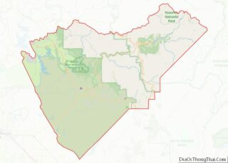
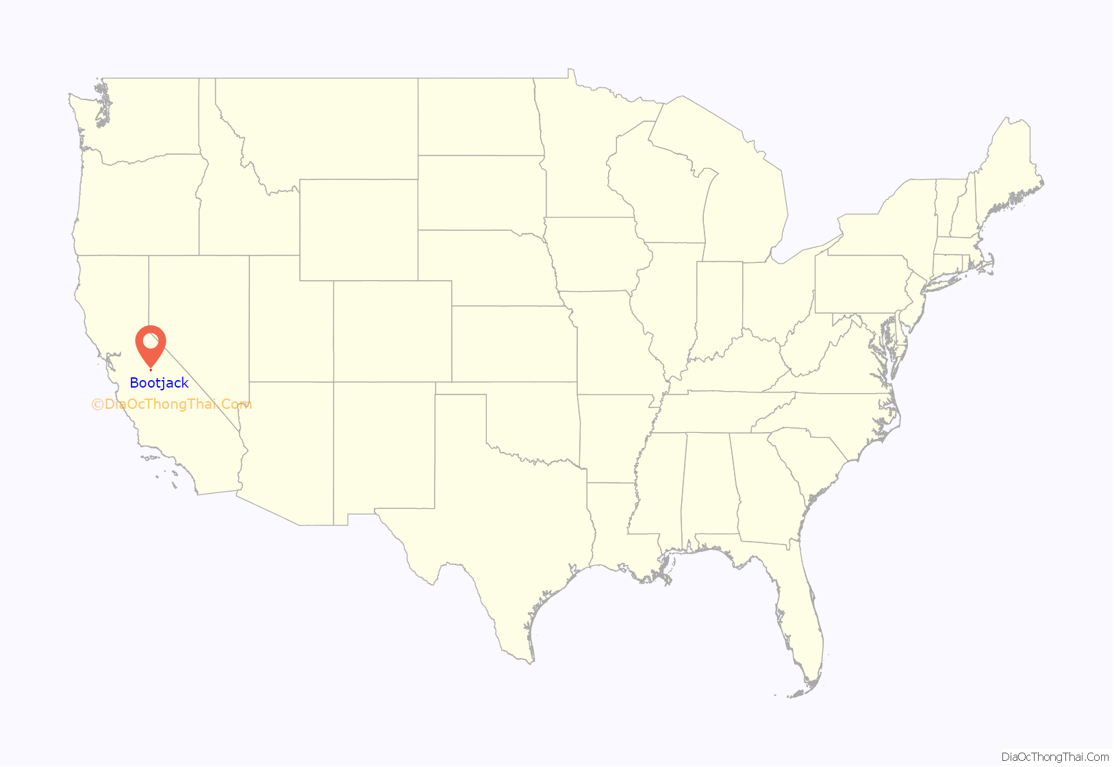
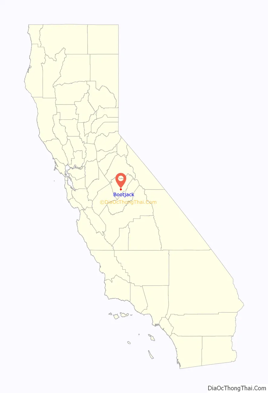
Bootjack location map. Where is Bootjack CDP?
History
There are three current versions of how the town was named: firstly, that a fork in the road made a boot jack shape (basically, a “Y”); second, that a landmark tree at the place had a bootjack shape; and third, that after a horse thief’s hanging at the place, a bootjack was used to remove his boots.
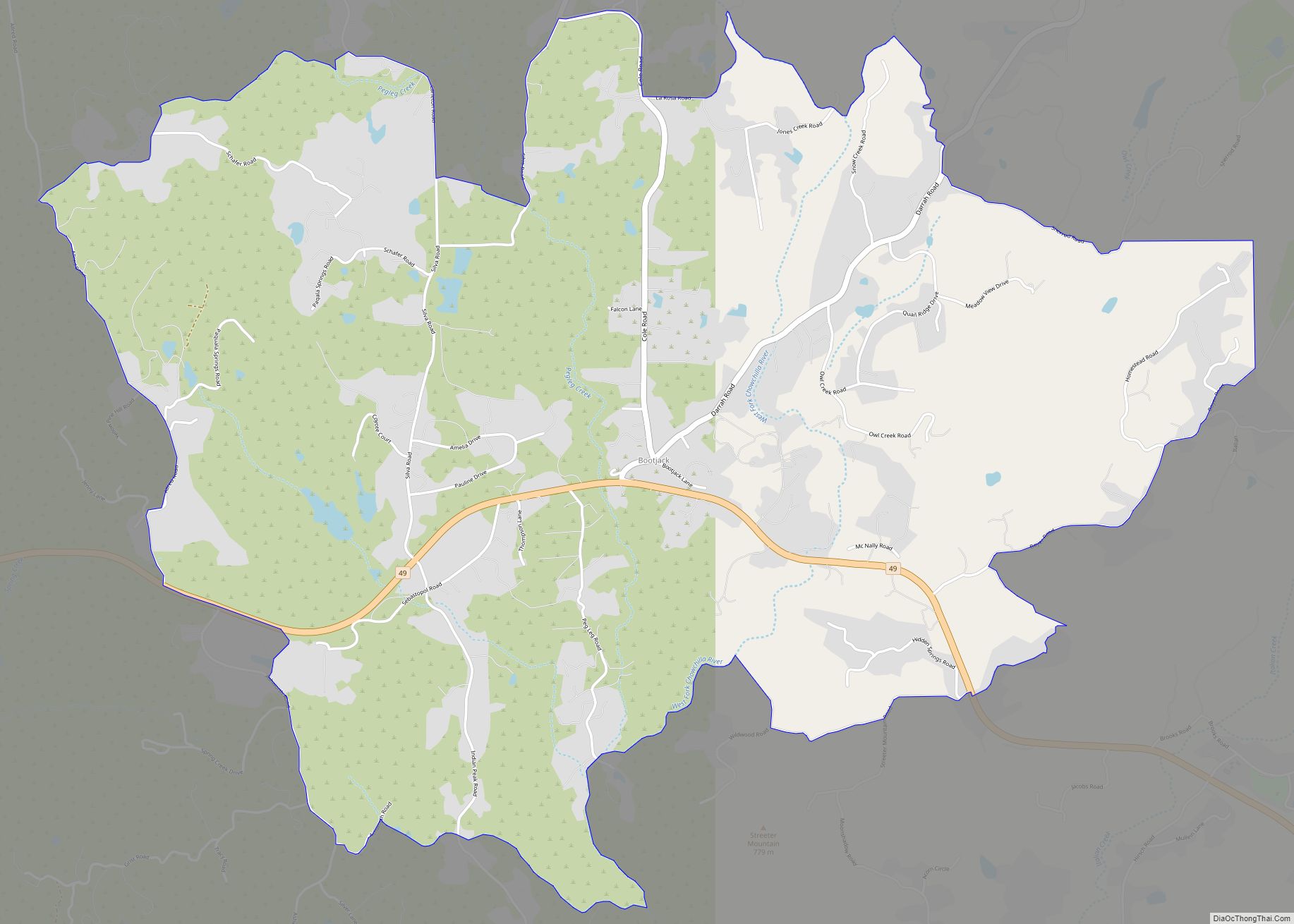
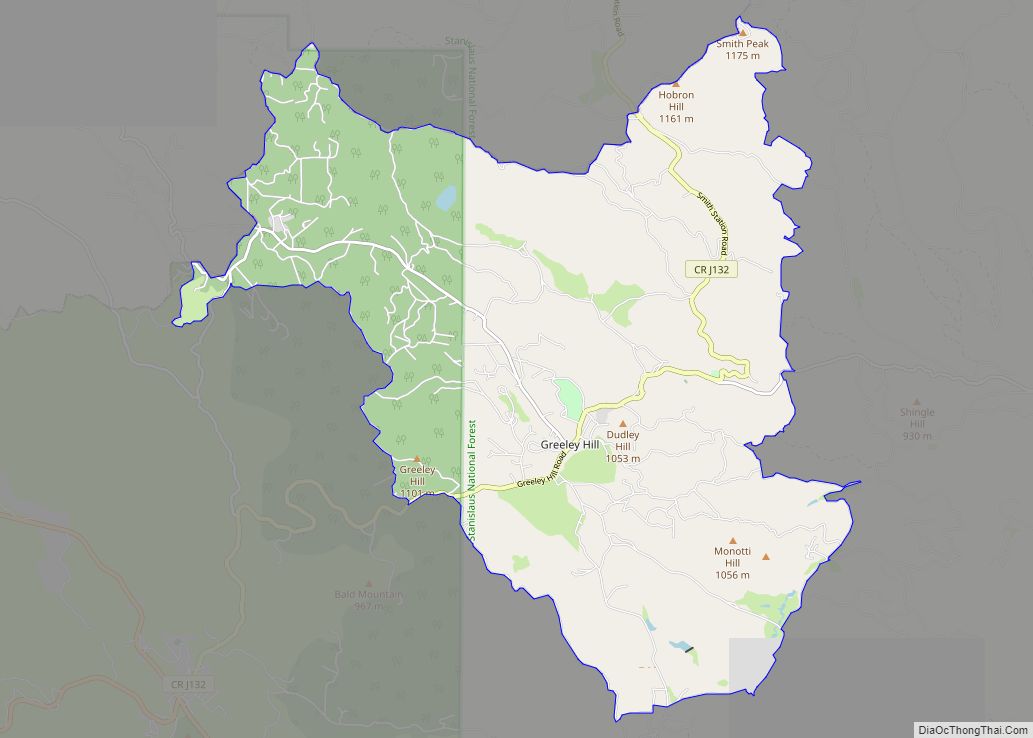
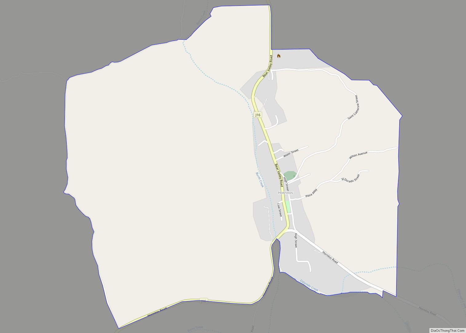
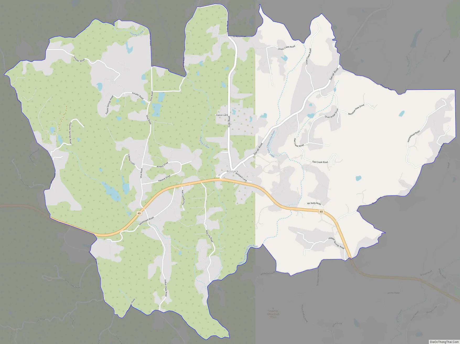
Bootjack Road Map
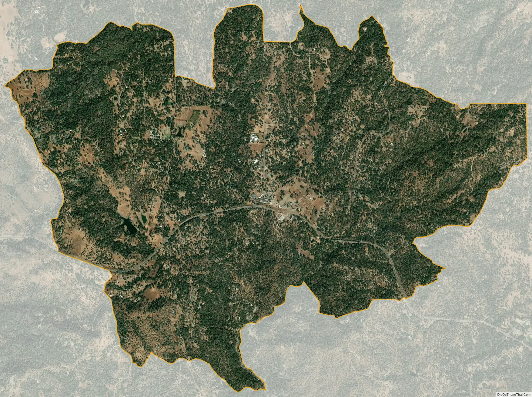
Bootjack city Satellite Map
Geography
Bootjack is located south of the center of Mariposa County at 37°27′54″N 119°53′12″W / 37.46500°N 119.88667°W / 37.46500; -119.88667, at an elevation of 2,238 feet (682 m) in the foothills of the Sierra Nevada. California State Route 49 passes through the community, leading west-northwest 4.5 miles (7.2 km) to Mariposa, the county seat, and southeast 21 miles (34 km) to Oakhurst.
According to the United States Census Bureau, the CDP has a total area of 3.86 square miles (10.00 km), of which 0.03 square miles (0.08 km), or 0.80%, are water. In 2010 the CDP had an area of 7.1 square miles (18 km), and in 2000 the area was 18.0 square miles (47 km).
See also
Map of California State and its subdivision:- Alameda
- Alpine
- Amador
- Butte
- Calaveras
- Colusa
- Contra Costa
- Del Norte
- El Dorado
- Fresno
- Glenn
- Humboldt
- Imperial
- Inyo
- Kern
- Kings
- Lake
- Lassen
- Los Angeles
- Madera
- Marin
- Mariposa
- Mendocino
- Merced
- Modoc
- Mono
- Monterey
- Napa
- Nevada
- Orange
- Placer
- Plumas
- Riverside
- Sacramento
- San Benito
- San Bernardino
- San Diego
- San Francisco
- San Joaquin
- San Luis Obispo
- San Mateo
- Santa Barbara
- Santa Clara
- Santa Cruz
- Shasta
- Sierra
- Siskiyou
- Solano
- Sonoma
- Stanislaus
- Sutter
- Tehama
- Trinity
- Tulare
- Tuolumne
- Ventura
- Yolo
- Yuba
- Alabama
- Alaska
- Arizona
- Arkansas
- California
- Colorado
- Connecticut
- Delaware
- District of Columbia
- Florida
- Georgia
- Hawaii
- Idaho
- Illinois
- Indiana
- Iowa
- Kansas
- Kentucky
- Louisiana
- Maine
- Maryland
- Massachusetts
- Michigan
- Minnesota
- Mississippi
- Missouri
- Montana
- Nebraska
- Nevada
- New Hampshire
- New Jersey
- New Mexico
- New York
- North Carolina
- North Dakota
- Ohio
- Oklahoma
- Oregon
- Pennsylvania
- Rhode Island
- South Carolina
- South Dakota
- Tennessee
- Texas
- Utah
- Vermont
- Virginia
- Washington
- West Virginia
- Wisconsin
- Wyoming