Brawley (formerly Braly) is a city in Imperial County, California, United States within the Imperial Valley.
The population was 24,953 at the 2010 census, up from 22,052 in 2000. Year-round agriculture is an important economic activity in Brawley. The town has a significant cattle and feed industry, and hosts the annual Cattle Call Rodeo. Summer daytime temperatures often exceed 105 °F (41 °C).
| Name: | Brawley city |
|---|---|
| LSAD Code: | 25 |
| LSAD Description: | city (suffix) |
| State: | California |
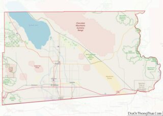
| County: | Imperial County |
| Incorporated: | April 6, 1908 |
| Elevation: | −112 ft (−34 m) |
| Total Area: | 8.12 sq mi (21.02 km²) |
| Land Area: | 8.12 sq mi (21.02 km²) |
| Water Area: | 0.00 sq mi (0.00 km²) 0% |
| Total Population: | 26,416 |
| Population Density: | 3,254.00/sq mi (1,256.45/km²) |
| ZIP code: | 92227 |
| FIPS code: | 0608058 |
| Website: | www.brawley-ca.gov |
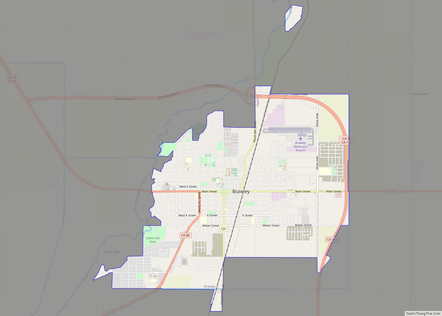
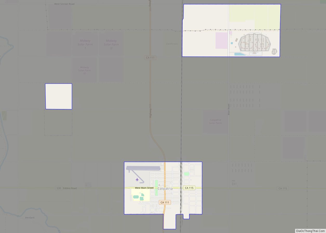
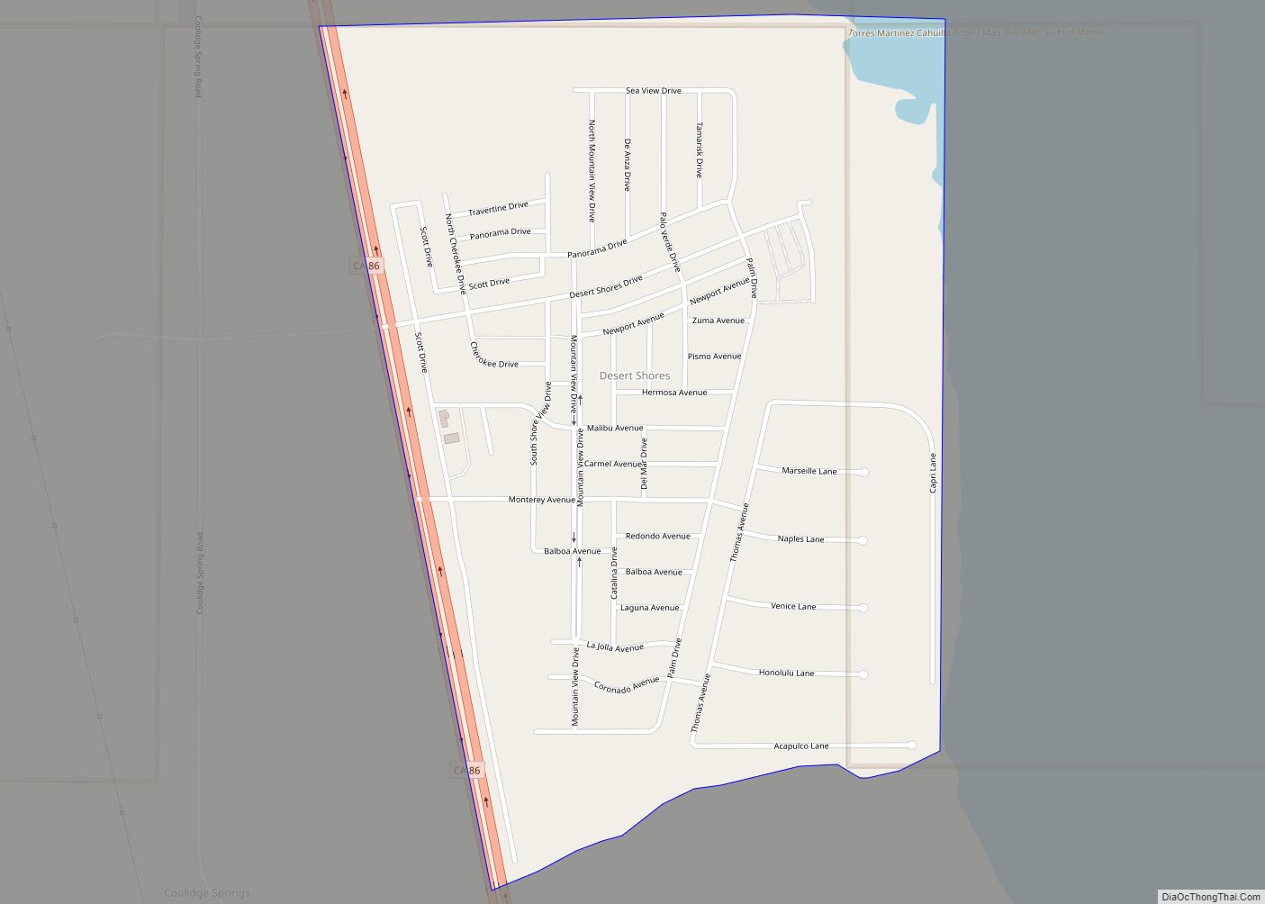
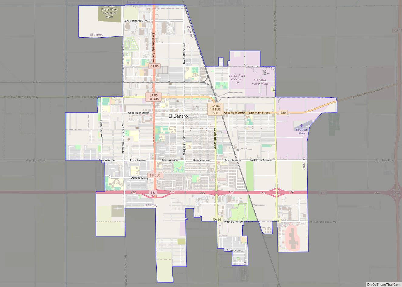
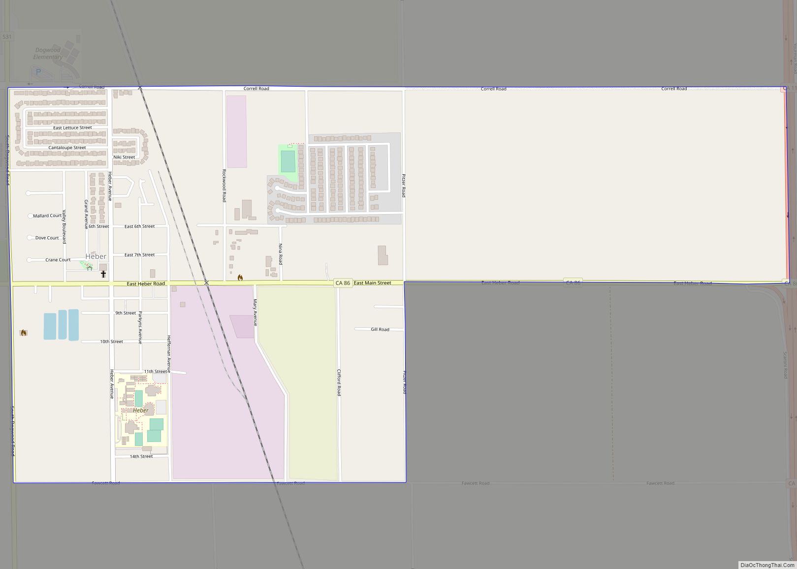
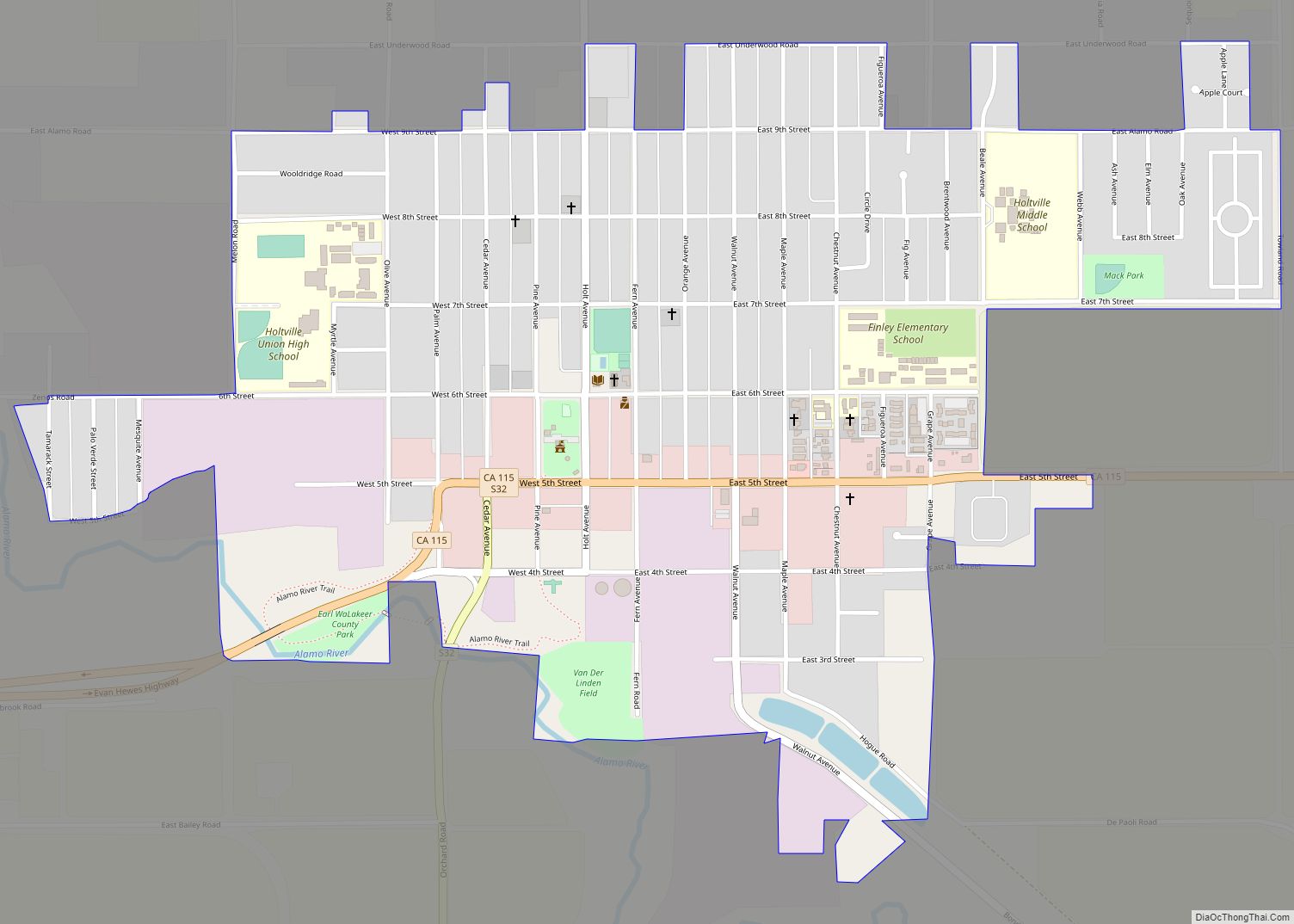
Online Interactive Map
Click on ![]() to view map in "full screen" mode.
to view map in "full screen" mode.
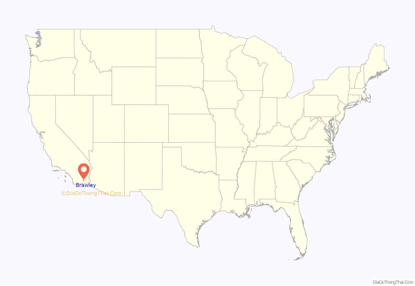
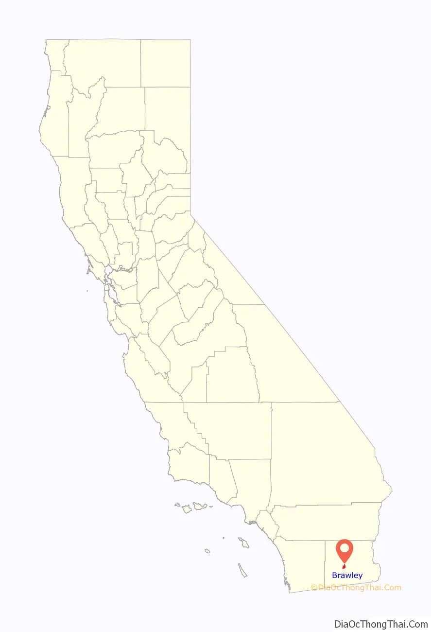
Brawley location map. Where is Brawley city?
History
The Imperial Land Company laid out the town in 1902 and named it Braly in honor of J.H. Braly, who owned the land. After Braly refused to permit the use of his name, the name was changed to Brawley. The first post office at Brawley opened in 1903.
Incorporated in 1908, it was a “tent city” of only 100 persons involved in railroads and the earliest introduction of agriculture. It had a population of 11,922 in 1950, but population growth was slow from the 1960s to the early 1990s.
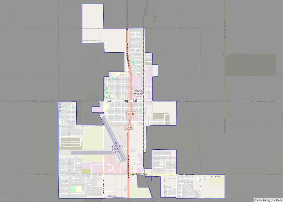
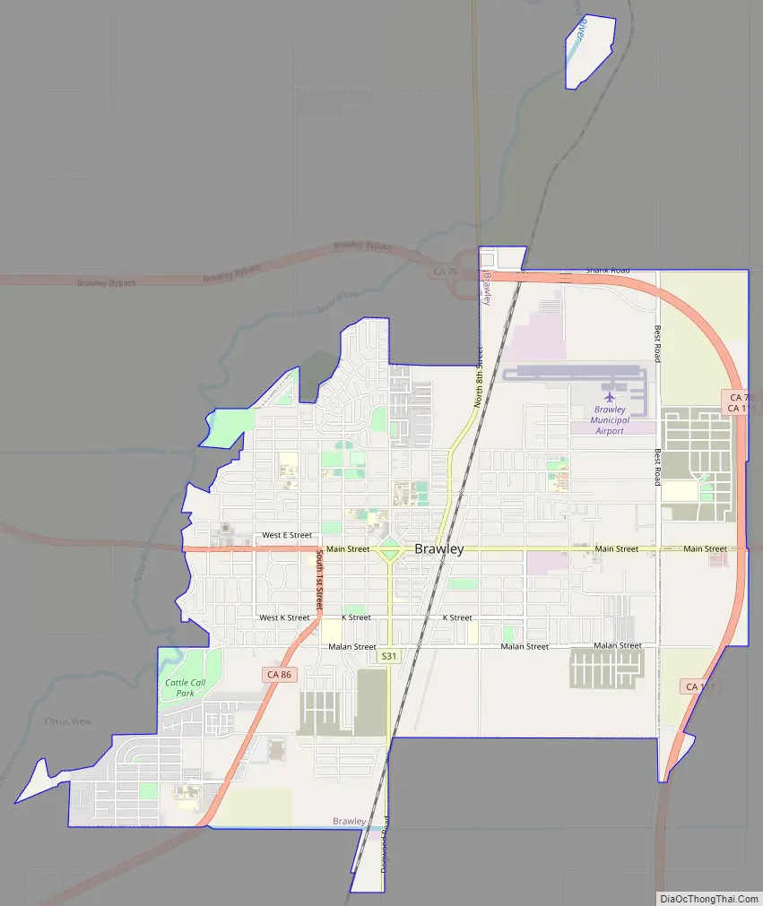
Brawley Road Map
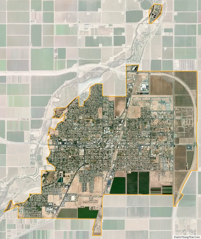
Brawley city Satellite Map
Geography
Brawley is located in the Colorado Desert and Lower Colorado River Valley regions. The city’s elevation, like other Imperial Valley towns, is below sea level.
It is 13 miles (21 km) north of El Centro, about 70 miles west of Yuma, Arizona, 95 miles southeast of Palm Springs and 130 miles east of San Diego.
According to the United States Census Bureau, Brawley has a total area of 7.7 square miles (20 km). All is land within the city limits, except for the Alamo River and New River that seasonally flow through the city.
Climate
Average January temperatures in Brawley are a high of 71.7 °F or 22.1 °C and a low of 41.4 °F or 5.2 °C. Average July temperatures are a high of 108.2 °F or 42.3 °C and a low of 76.6 °F or 24.8 °C. On average, 177.0 afternoons during the year have highs of 90 °F or 32 °C or higher. The record high temperature was 122 °F (50.0 °C) on July 1, 1950, and the record low temperature was 4 °F (−15.6 °C) on January 1, 1919.
Average annual precipitation is 2.38 inches (6.0 cm) with an average of 15 days with measurable precipitation. December is the wettest month of the year, while June is the driest. The wettest year was 1939 with 8.18 inches (207.8 mm), while the driest year was 1953, in which no measurable precipitation fell in Brawley. The most rainfall in one month was 6.75 inches (171.5 mm) in September 1939. The most rainfall in 24 hours was 3.90 inches (99.1 mm) on October 10, 1932. A rare snowfall in December 1932 brought a total of 3.0 inches (0.076 m).
See also
Map of California State and its subdivision:- Alameda
- Alpine
- Amador
- Butte
- Calaveras
- Colusa
- Contra Costa
- Del Norte
- El Dorado
- Fresno
- Glenn
- Humboldt
- Imperial
- Inyo
- Kern
- Kings
- Lake
- Lassen
- Los Angeles
- Madera
- Marin
- Mariposa
- Mendocino
- Merced
- Modoc
- Mono
- Monterey
- Napa
- Nevada
- Orange
- Placer
- Plumas
- Riverside
- Sacramento
- San Benito
- San Bernardino
- San Diego
- San Francisco
- San Joaquin
- San Luis Obispo
- San Mateo
- Santa Barbara
- Santa Clara
- Santa Cruz
- Shasta
- Sierra
- Siskiyou
- Solano
- Sonoma
- Stanislaus
- Sutter
- Tehama
- Trinity
- Tulare
- Tuolumne
- Ventura
- Yolo
- Yuba
- Alabama
- Alaska
- Arizona
- Arkansas
- California
- Colorado
- Connecticut
- Delaware
- District of Columbia
- Florida
- Georgia
- Hawaii
- Idaho
- Illinois
- Indiana
- Iowa
- Kansas
- Kentucky
- Louisiana
- Maine
- Maryland
- Massachusetts
- Michigan
- Minnesota
- Mississippi
- Missouri
- Montana
- Nebraska
- Nevada
- New Hampshire
- New Jersey
- New Mexico
- New York
- North Carolina
- North Dakota
- Ohio
- Oklahoma
- Oregon
- Pennsylvania
- Rhode Island
- South Carolina
- South Dakota
- Tennessee
- Texas
- Utah
- Vermont
- Virginia
- Washington
- West Virginia
- Wisconsin
- Wyoming