Calpella (Pomo: Kalpela, meaning “Mussel bearer”) is an unincorporated community and census-designated place (CDP) in Mendocino County, California, United States. It is located on the Russian River, 6 miles (10 km) north of Ukiah. It is situated within the Ukiah Valley, at the intersection of U.S. Route 101 and State Route 20. The population was 799 at the 2020 census, up from 679 in 2010. The small town is the site of the Mendocino Redwood Company mill and offices, which controls ten percent of the private land in the county.
| Name: | Calpella CDP |
|---|---|
| LSAD Code: | 57 |
| LSAD Description: | CDP (suffix) |
| State: | California |
| County: | Mendocino County |
| Elevation: | 682 ft (208 m) |
| Total Area: | 2.57 sq mi (6.7 km²) |
| Land Area: | 2.55 sq mi (6.6 km²) |
| Water Area: | 0.03 sq mi (0.08 km²) 0.93% |
| Total Population: | 799 |
| Population Density: | 313.58/sq mi (121.07/km²) |
| ZIP code: | 95418 |
| Area code: | 707 |
| FIPS code: | 0609990 |
Online Interactive Map
Click on ![]() to view map in "full screen" mode.
to view map in "full screen" mode.
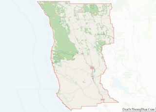
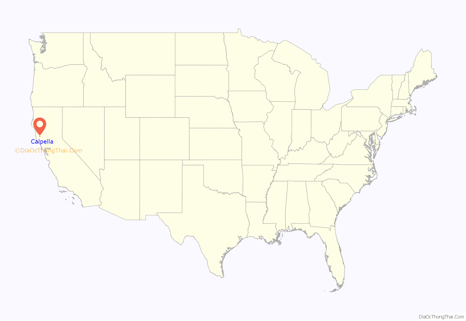
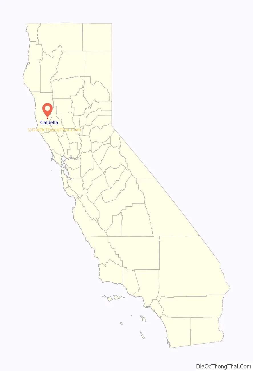
Calpella location map. Where is Calpella CDP?
History
Col. C.H. Veeder and James Pettus, Veeder’s son-in-law, founded the town in 1858. It is named after Kalpela, the chief of the nearby Pomo village of Chomchadila. His name comes from Northern Pomo khál phíila, meaning “carrying mussels down”.
For a time, it rivaled Ukiah in importance.
The Calpella post office opened in 1860, closed in 1868, reopened in 1872, was discontinued for a time, and moved in 1920.
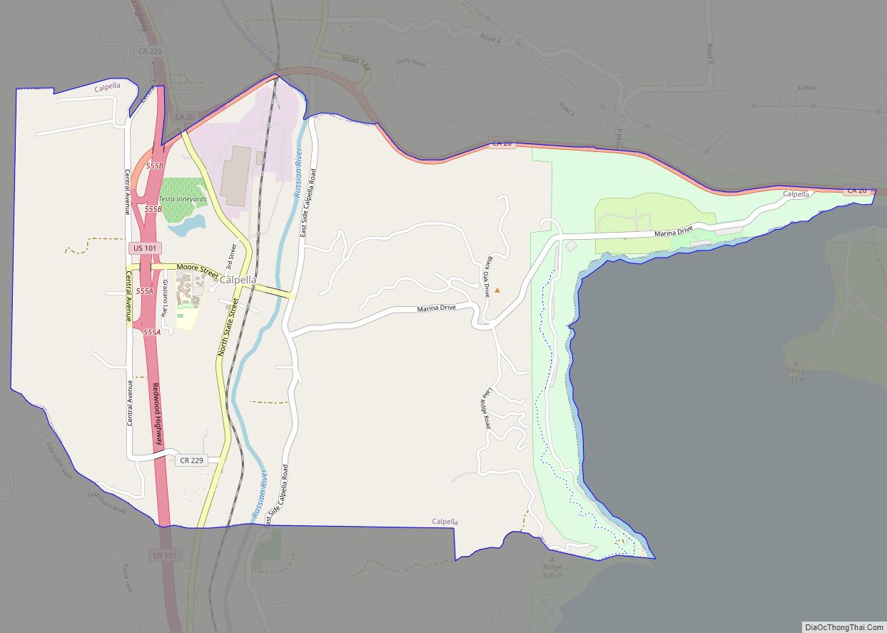
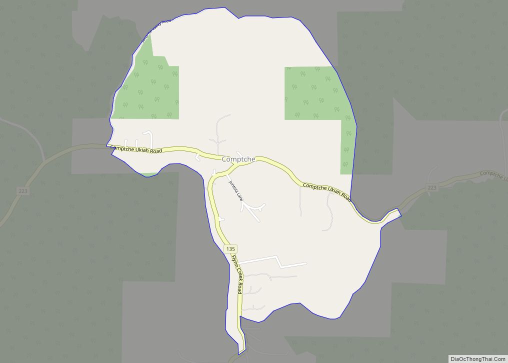
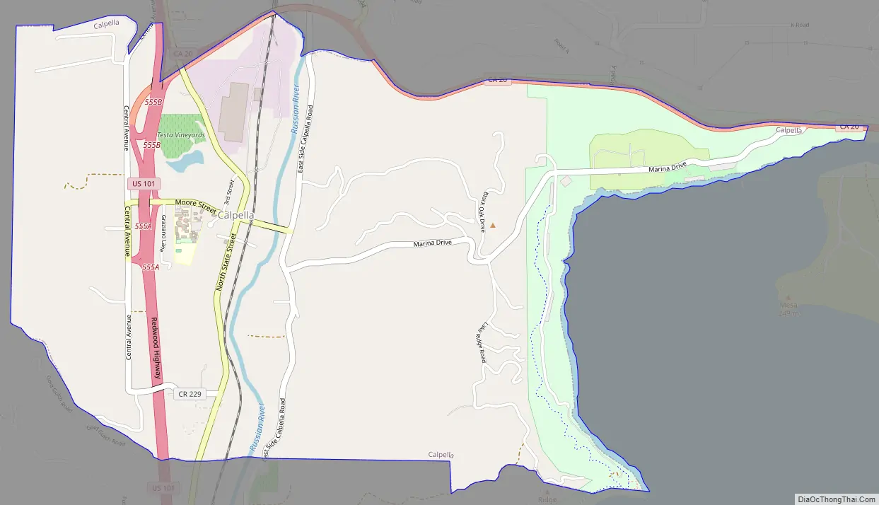
Calpella Road Map
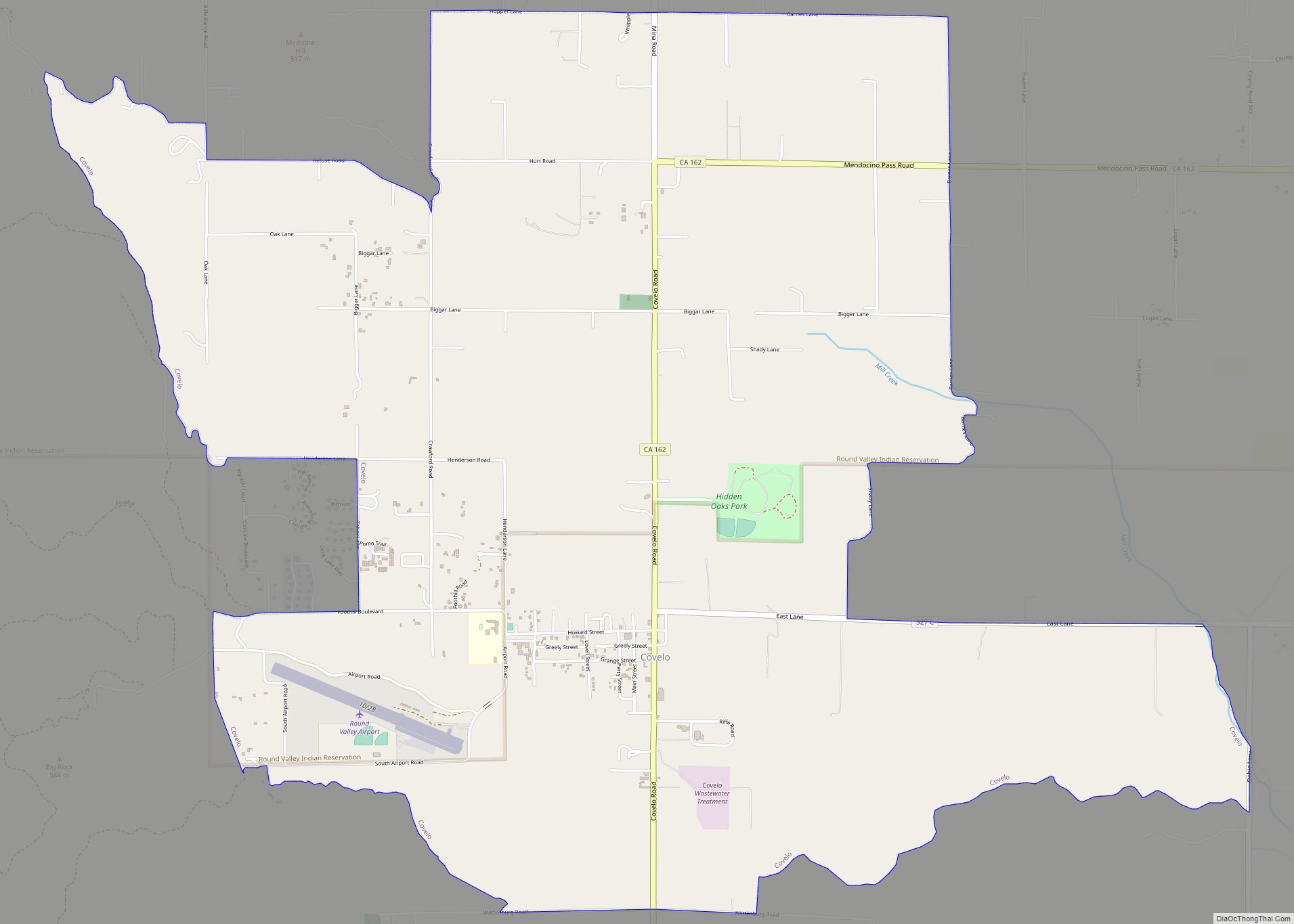
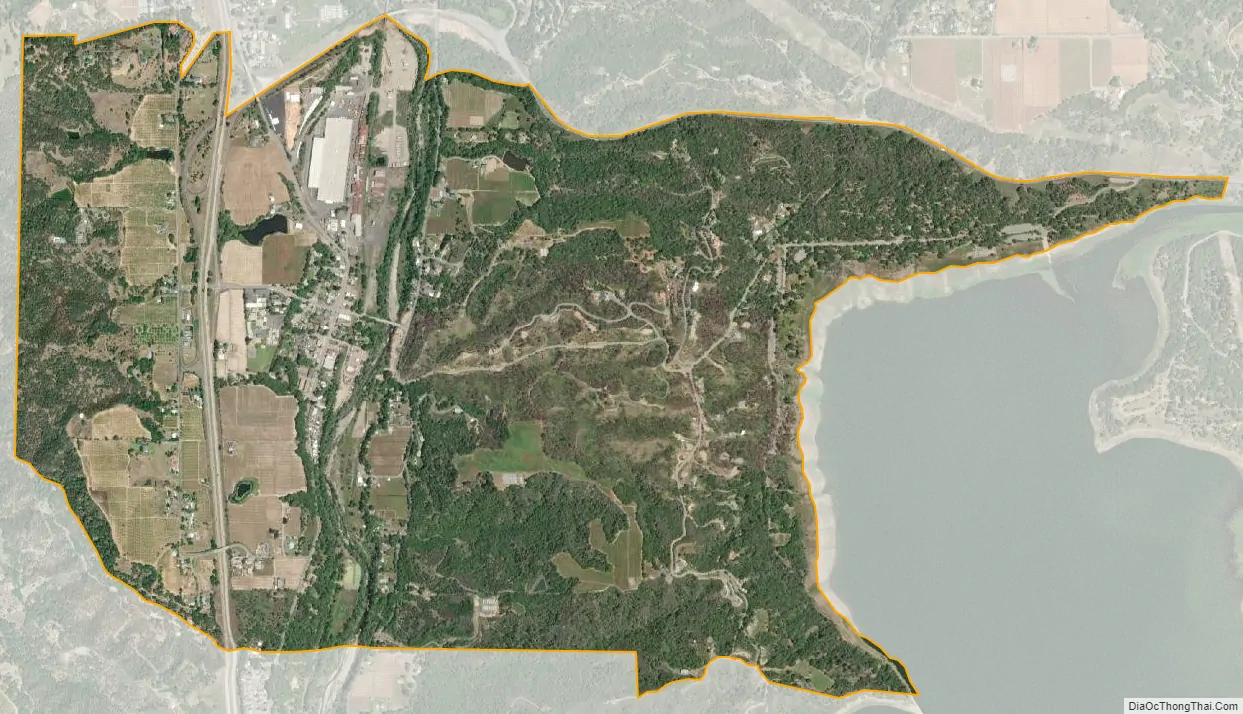
Calpella city Satellite Map
Geography
Calpella is in southeastern Mendocino County, 6 miles (10 km) north of Ukiah, the county seat, 16 miles (26 km) south of Willits, and 29 miles (47 km) northwest of Lakeport. According to the United States Census Bureau, the Calpella CDP covers an area of 2.6 square miles (6.7 km), 99.07% of it land and 0.93% of it water. The Russian River flows north-to-south through the center of the community, and the CDP extends eastward to the west shore of Lake Mendocino, a reservoir on the East Fork of the Russian River. U.S. Route 101 passes through the western portion of the CDP, and California State Route 20 forms the CDP’s northern edge.
Climate
This region experiences warm (but not hot) and dry summers, with no average monthly temperatures above 71.6 °F (22.0 °C). According to the Köppen Climate Classification system, Calpella has a warm-summer Mediterranean climate, abbreviated “Csb” on climate maps.
See also
Map of California State and its subdivision:- Alameda
- Alpine
- Amador
- Butte
- Calaveras
- Colusa
- Contra Costa
- Del Norte
- El Dorado
- Fresno
- Glenn
- Humboldt
- Imperial
- Inyo
- Kern
- Kings
- Lake
- Lassen
- Los Angeles
- Madera
- Marin
- Mariposa
- Mendocino
- Merced
- Modoc
- Mono
- Monterey
- Napa
- Nevada
- Orange
- Placer
- Plumas
- Riverside
- Sacramento
- San Benito
- San Bernardino
- San Diego
- San Francisco
- San Joaquin
- San Luis Obispo
- San Mateo
- Santa Barbara
- Santa Clara
- Santa Cruz
- Shasta
- Sierra
- Siskiyou
- Solano
- Sonoma
- Stanislaus
- Sutter
- Tehama
- Trinity
- Tulare
- Tuolumne
- Ventura
- Yolo
- Yuba
- Alabama
- Alaska
- Arizona
- Arkansas
- California
- Colorado
- Connecticut
- Delaware
- District of Columbia
- Florida
- Georgia
- Hawaii
- Idaho
- Illinois
- Indiana
- Iowa
- Kansas
- Kentucky
- Louisiana
- Maine
- Maryland
- Massachusetts
- Michigan
- Minnesota
- Mississippi
- Missouri
- Montana
- Nebraska
- Nevada
- New Hampshire
- New Jersey
- New Mexico
- New York
- North Carolina
- North Dakota
- Ohio
- Oklahoma
- Oregon
- Pennsylvania
- Rhode Island
- South Carolina
- South Dakota
- Tennessee
- Texas
- Utah
- Vermont
- Virginia
- Washington
- West Virginia
- Wisconsin
- Wyoming