Castaic (/kəˈsteɪ.ɪk/ (listen)) (Chumash: Kaštiq; Spanish: Castéc) is an unincorporated community in the northwestern part of Los Angeles County, California. As of the 2010 census it had a population of 19,015. For statistical purposes the Census Bureau has defined Castaic as a census-designated place (CDP).
Tens of thousands of motorists pass through Castaic daily as they drive to or from Los Angeles on Interstate 5 (the Golden State Freeway). Castaic Lake is part of the California Water Project and is the site of a hydro-electric power plant. Castaic is 38 miles (61 km) northwest of Los Angeles Union Station and northwest of the city of Santa Clarita.
The Castaic Range War went on for decades in the late 19th and early 20th centuries resulting in dozens of deaths before hostilities ceased in 1916.
| Name: | Castaic CDP |
|---|---|
| LSAD Code: | 57 |
| LSAD Description: | CDP (suffix) |
| State: | California |
| County: | Los Angeles County |
| Elevation: | 1,280 ft (390 m) |
| Total Area: | 7.28 sq mi (18.85 km²) |
| Land Area: | 7.26 sq mi (18.81 km²) |
| Water Area: | 0.02 sq mi (0.04 km²) 0.24% |
| Total Population: | 18,937 |
| Population Density: | 2,607.68/sq mi (1,006.87/km²) |
| Area code: | 661 |
| FIPS code: | 0611796 |
| GNISfeature ID: | 2582966 |
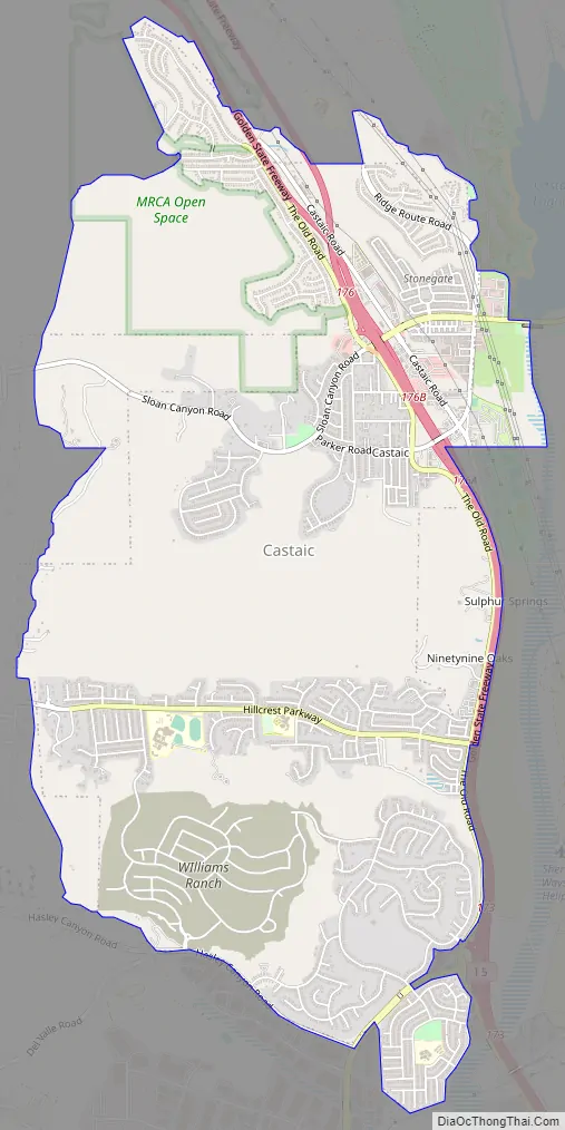
Online Interactive Map
Click on ![]() to view map in "full screen" mode.
to view map in "full screen" mode.
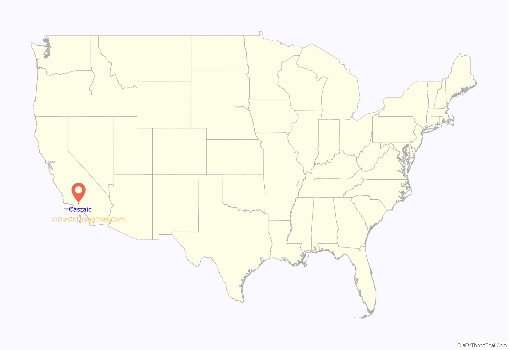
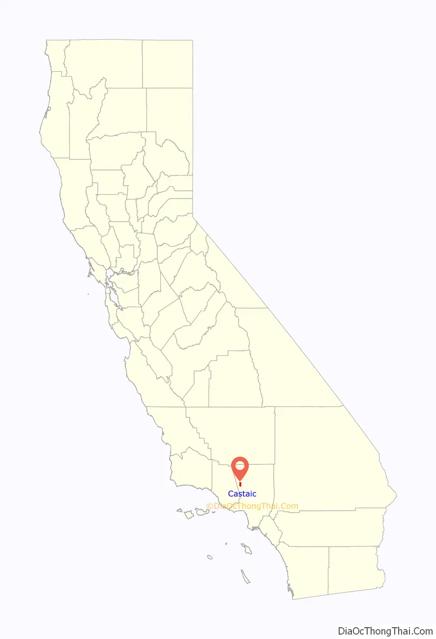
Castaic location map. Where is Castaic CDP?
History
The Córdova family of California were the first settlers in the area. Modern Castaic began in 1887 when Southern Pacific set up a railroad siding on the line between Piru and Saugus Station, naming it “Castaic Junction”. Between January and April 1890, the Castec School District adopted the new spelling, “Castaic”.
Range War
Between 1890 and 1916, the Castaic Range War was fought in Castaic country over ranch boundaries and grazing rights. It was the biggest range war in U.S. history.
A feud started over Section 23, where the Stonegate subdivision is now. William Chormicle had legally bought the property, but William “Wirt” Jenkins was already storing grain on it and said he had filed for ownership. During a heated dispute, Chormicle and a friend shot and killed two of Jenkins’s cowhands. They were acquitted in court.
Jenkins, however, was the local justice of the peace, with friends of his own, and the feud quickly grew into war. Former Los Angeles Rangers (among whom Jenkins had fought) and other notables were drawn in. The war claimed dozens of lives and foiled a negotiator, a forest ranger whom President Theodore Roosevelt had sent in to quell it.
Cattle business
Castaic has the last traditional cattle roundup—with horses, lariats, and branding irons—in Los Angeles County. It has been held by the Cordova family since 1834, when the family first settled here. Members of the Cordova family were scouts for the U.S. Army during the Mexican War in 1846 and helped identify bodies during the St. Francis Dam disaster in San Francisquito Canyon in 1928. Operations scaled back in 1967 when the government seized around 1,000 acres (400 ha), including the ancestral ranch-house, for the planned Castaic Lake and dam.
Castaic Road Map
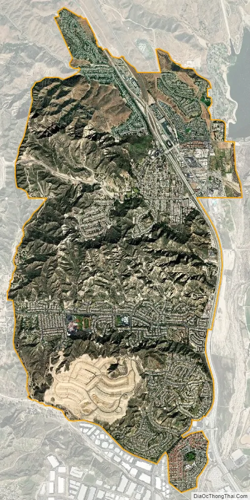
Castaic city Satellite Map
Geography
Seismology
The area is seismically active. On January 3, 2015, a pair of earthquakes of magnitude 3.1 (location: 34°36′36″N 118°38′06″W / 34.610°N 118.635°W / 34.610; -118.635, depth: 5.6 miles (9.0 km)) and 4.2 (location: 34°37′12″N 118°37′48″W / 34.620°N 118.630°W / 34.620; -118.630, depth: 5.5 miles (8.9 km)), respectively, were reported about 14 kilometres (8.7 mi) north of Castaic. The epicenter was 16 miles (26 km) from Santa Clarita, California.
Climate
This region experiences hot and dry summers, and cool, moderately rainy winters. During the months of June though September, the average high temperature ranges from the 90s F (30s C) to above 100 °F (38 °C). According to the Köppen Climate Classification system, Castaic has a hot-summer Mediterranean climate, abbreviated “Csa” on climate maps.
See also
Map of California State and its subdivision:- Alameda
- Alpine
- Amador
- Butte
- Calaveras
- Colusa
- Contra Costa
- Del Norte
- El Dorado
- Fresno
- Glenn
- Humboldt
- Imperial
- Inyo
- Kern
- Kings
- Lake
- Lassen
- Los Angeles
- Madera
- Marin
- Mariposa
- Mendocino
- Merced
- Modoc
- Mono
- Monterey
- Napa
- Nevada
- Orange
- Placer
- Plumas
- Riverside
- Sacramento
- San Benito
- San Bernardino
- San Diego
- San Francisco
- San Joaquin
- San Luis Obispo
- San Mateo
- Santa Barbara
- Santa Clara
- Santa Cruz
- Shasta
- Sierra
- Siskiyou
- Solano
- Sonoma
- Stanislaus
- Sutter
- Tehama
- Trinity
- Tulare
- Tuolumne
- Ventura
- Yolo
- Yuba
- Alabama
- Alaska
- Arizona
- Arkansas
- California
- Colorado
- Connecticut
- Delaware
- District of Columbia
- Florida
- Georgia
- Hawaii
- Idaho
- Illinois
- Indiana
- Iowa
- Kansas
- Kentucky
- Louisiana
- Maine
- Maryland
- Massachusetts
- Michigan
- Minnesota
- Mississippi
- Missouri
- Montana
- Nebraska
- Nevada
- New Hampshire
- New Jersey
- New Mexico
- New York
- North Carolina
- North Dakota
- Ohio
- Oklahoma
- Oregon
- Pennsylvania
- Rhode Island
- South Carolina
- South Dakota
- Tennessee
- Texas
- Utah
- Vermont
- Virginia
- Washington
- West Virginia
- Wisconsin
- Wyoming


