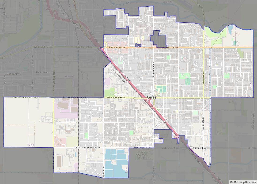
Ceres is a city in Stanislaus County, California. Its population was 49,302 at the 2020 U.S. Census, up from 45,417 at the 2010 U.S. Census. It is part of the Modesto metropolitan statistical area.
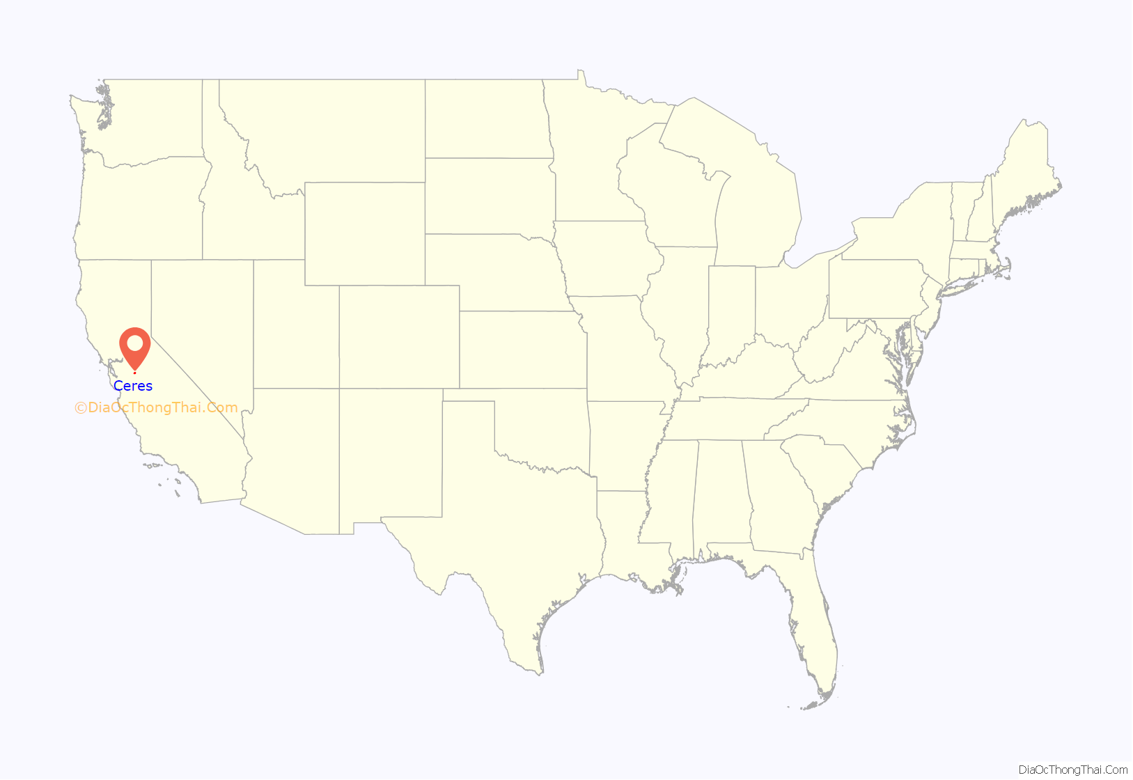
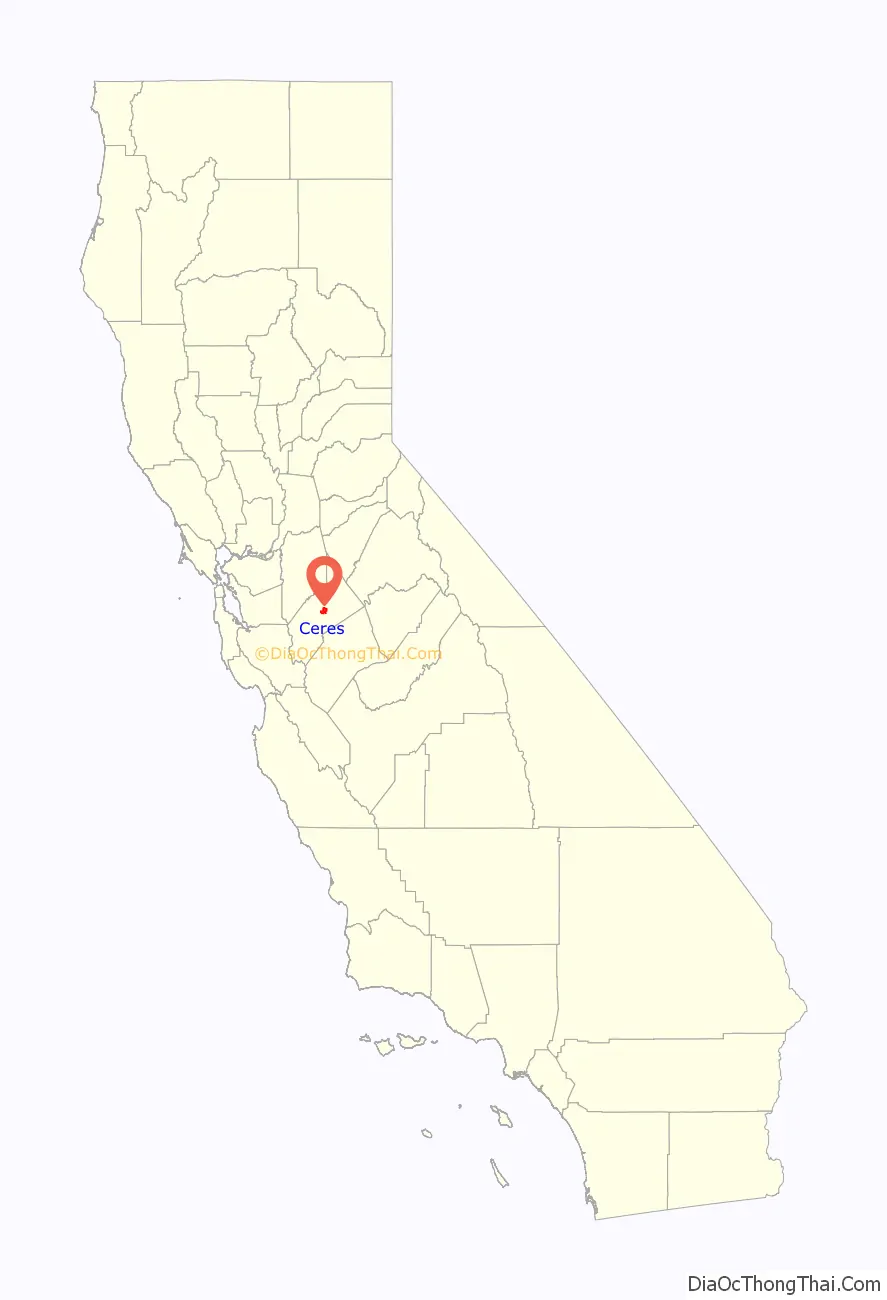
Ceres is located in the San Joaquin Valley along State Route 99, south of Modesto and north of Turlock in Stanislaus County. Ceres is named after the Roman goddess of agriculture.
The newspaper in Ceres is called the Ceres Courier, which has been in publication since 1910. The offices of the Ceres Courier were relocated from an address in downtown Ceres in 2012. It has since combined day-to-day operations with its sister paper, the Turlock Journal, in Turlock. Jeff Benziger was appointed editor in 1987. The city also has a Spanish-language paper.
Ceres hosts annual events at different times of the year. Spring brings the Ceres Street Faire on the first weekend in May. Concert in the Park is a regular summer event. Halloween Fun Festival marks the fall, followed by the colorful, and much-attended, Christmas Tree Lane opening ceremony.
| Name: | Ceres city |
|---|---|
| LSAD Code: | 25 |
| LSAD Description: | city (suffix) |
| State: | California |
| County: | Stanislaus County |
| Incorporated: | February 25, 1918 |
| Elevation: | 92 ft (28 m) |
| Total Area: | 9.35 sq mi (24.22 km²) |
| Land Area: | 9.35 sq mi (24.21 km²) |
| Water Area: | 0.01 sq mi (0.01 km²) 0.10% |
| Total Population: | 49,302 |
| Population Density: | 5,211.43/sq mi (2,012.15/km²) |
| ZIP code: | 95307 |
| Area code: | 209 |
| FIPS code: | 0612524 |
| Website: | www.ci.ceres.ca.us |
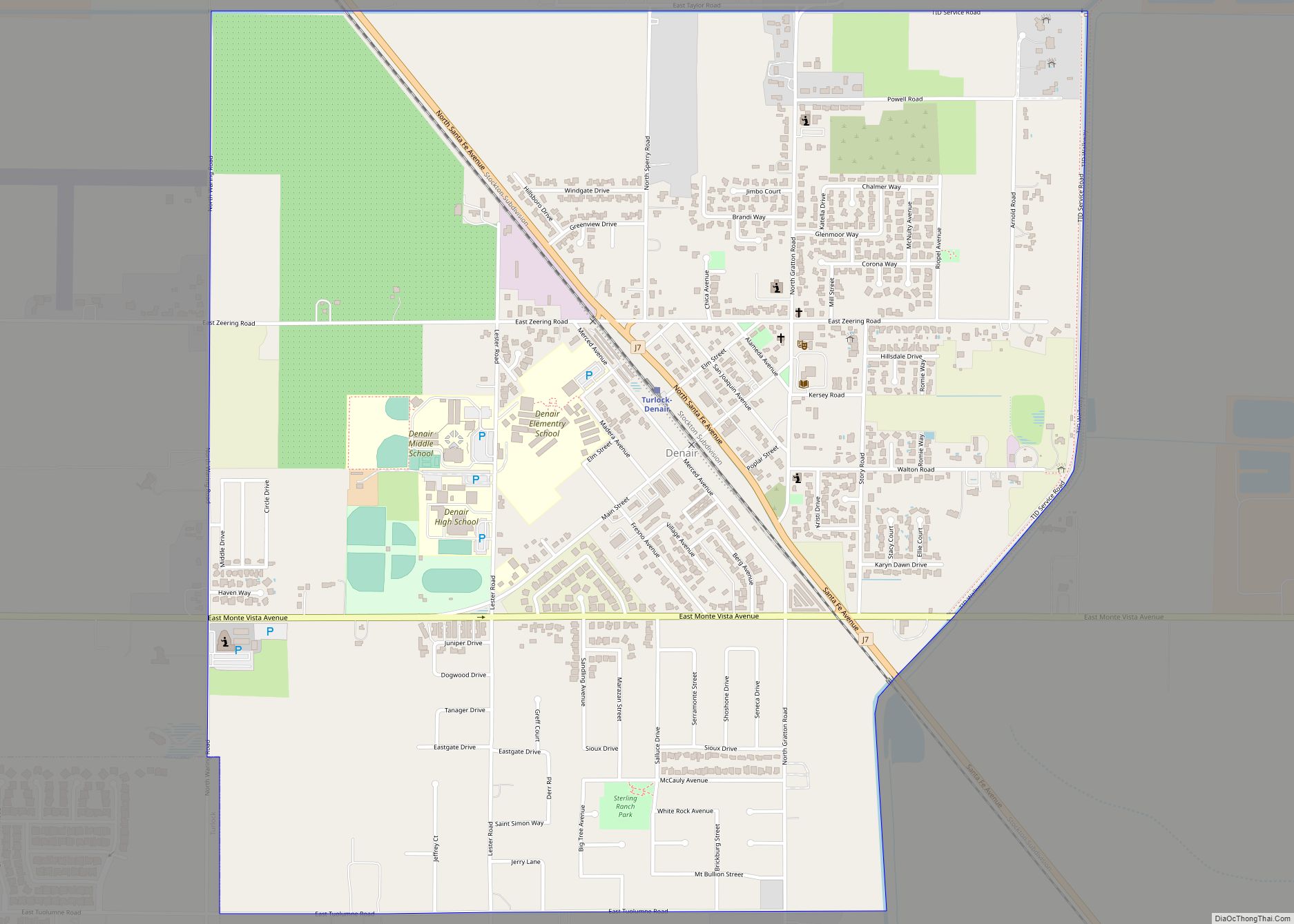
Online Interactive Map
Click on ![]() to view map in "full screen" mode.
to view map in "full screen" mode.
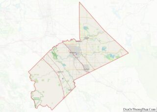
Ceres location map. Where is Ceres city?
History
The first non-native families who inhabited Ceres were those of John Service, Cassius Warner, and Daniel Whitmore in 1867. Daniel C. Whitmore is considered the first founding patriarch of Ceres. He built his home in 1870, the Whitmore Mansion at 2928 5th Street. That home still stands, fully restored by the city and the Ceres Historical Society.
In the early 1890s, outlaws Chris Evans and John Sontag robbed several Southern Pacific Railroad trains at Ceres and several other area locations.
In the late 1930s, a labor camp was developed within the city of Ceres.
The history of Ceres is recounted in Arcadia Publishing Company’s Images of America series entitled, “Ceres, by Jeff Benziger. It was released on August 23, 2010.
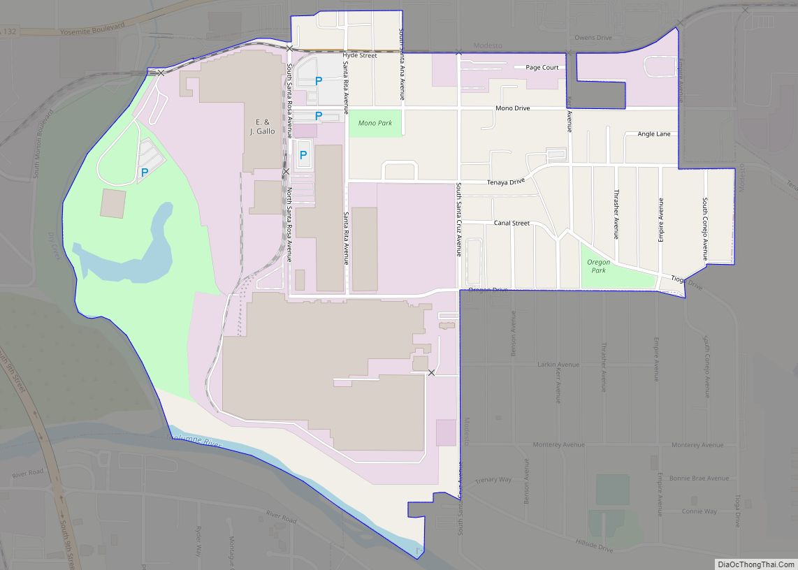
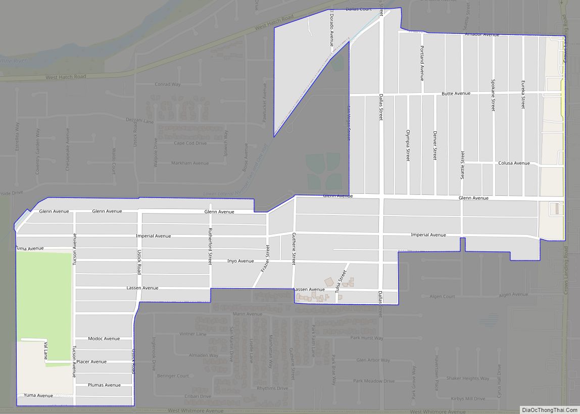
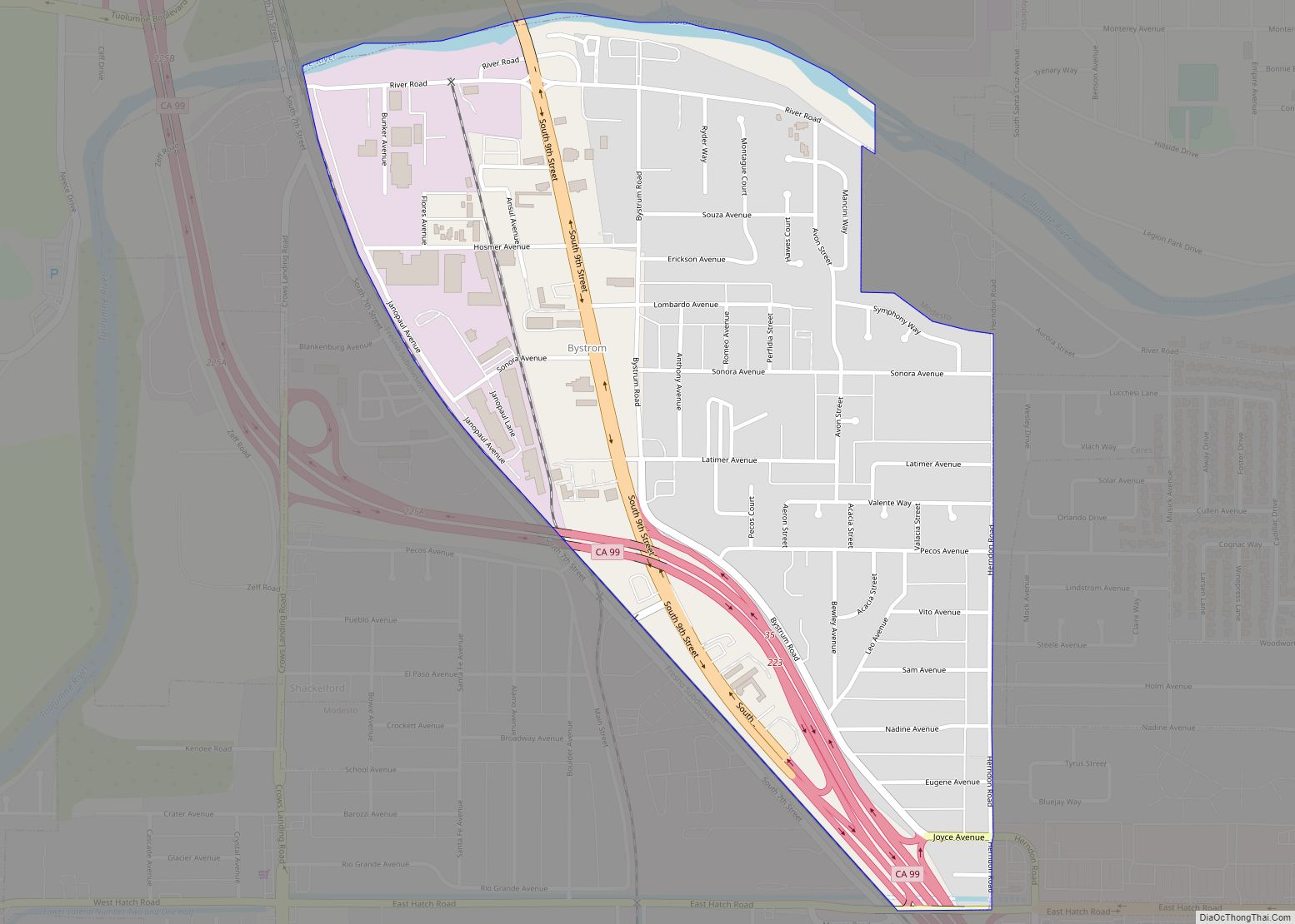
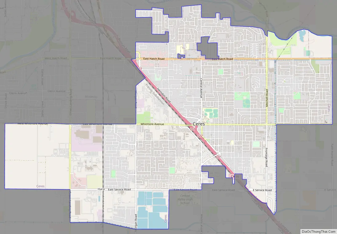
Ceres Road Map
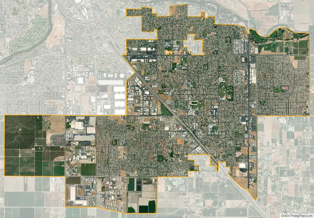
Ceres city Satellite Map
Geography
According to the U.S. Census Bureau, Ceres has a total area of 8.0 sq mi(20.8 km), 99.9% of it land and 0.1% of it covered by water. The formation of alluvial fans in the San Joaquin Valley has led to a rather flat regional geography. No active earthquake fault traces in the project vicinity are known. Hydrological feature mapping of the Ceres area has been conducted by the U. S. Geological Survey.
See also
Map of California State and its subdivision:- Alameda
- Alpine
- Amador
- Butte
- Calaveras
- Colusa
- Contra Costa
- Del Norte
- El Dorado
- Fresno
- Glenn
- Humboldt
- Imperial
- Inyo
- Kern
- Kings
- Lake
- Lassen
- Los Angeles
- Madera
- Marin
- Mariposa
- Mendocino
- Merced
- Modoc
- Mono
- Monterey
- Napa
- Nevada
- Orange
- Placer
- Plumas
- Riverside
- Sacramento
- San Benito
- San Bernardino
- San Diego
- San Francisco
- San Joaquin
- San Luis Obispo
- San Mateo
- Santa Barbara
- Santa Clara
- Santa Cruz
- Shasta
- Sierra
- Siskiyou
- Solano
- Sonoma
- Stanislaus
- Sutter
- Tehama
- Trinity
- Tulare
- Tuolumne
- Ventura
- Yolo
- Yuba
- Alabama
- Alaska
- Arizona
- Arkansas
- California
- Colorado
- Connecticut
- Delaware
- District of Columbia
- Florida
- Georgia
- Hawaii
- Idaho
- Illinois
- Indiana
- Iowa
- Kansas
- Kentucky
- Louisiana
- Maine
- Maryland
- Massachusetts
- Michigan
- Minnesota
- Mississippi
- Missouri
- Montana
- Nebraska
- Nevada
- New Hampshire
- New Jersey
- New Mexico
- New York
- North Carolina
- North Dakota
- Ohio
- Oklahoma
- Oregon
- Pennsylvania
- Rhode Island
- South Carolina
- South Dakota
- Tennessee
- Texas
- Utah
- Vermont
- Virginia
- Washington
- West Virginia
- Wisconsin
- Wyoming