Cherry Valley is a census-designated place (CDP) in Riverside County, California, United States. The population was 6,362 at the 2010 census, up from 5,891 at the 2000 census. It is situated at the most northwestern point of the San Gorgonio Pass.
The area was planted with many cherry trees, for which Cherry Valley was named. While many of the trees have long since been removed and replaced with homes, a few can still be spotted in backyards throughout the area.
| Name: | Cherry Valley CDP |
|---|---|
| LSAD Code: | 57 |
| LSAD Description: | CDP (suffix) |
| State: | California |
| County: | Riverside County |
| Elevation: | 2,821 ft (860 m) |
| Total Area: | 8.02 sq mi (20.77 km²) |
| Land Area: | 8.02 sq mi (20.77 km²) |
| Water Area: | 0.00 sq mi (0.00 km²) 0% |
| Total Population: | 6,509 |
| Population Density: | 811.60/sq mi (313.34/km²) |
| ZIP code: | 92223 |
| Area code: | 951 |
| FIPS code: | 0612916 |
Online Interactive Map
Click on ![]() to view map in "full screen" mode.
to view map in "full screen" mode.
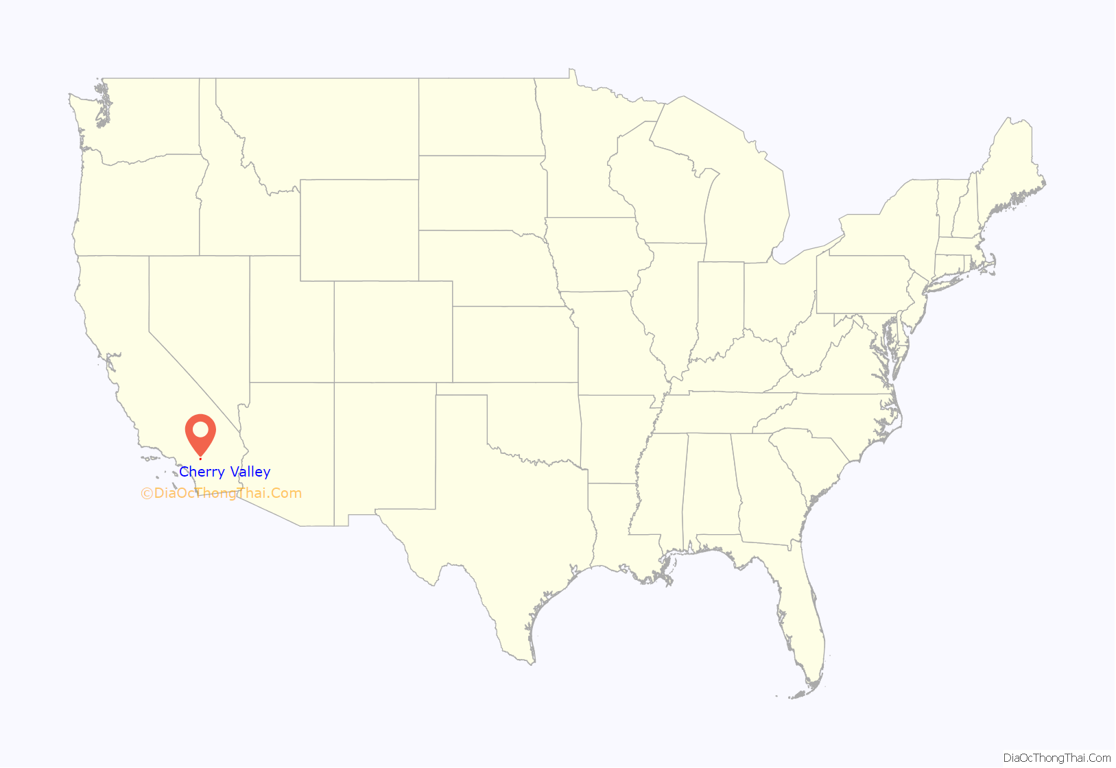
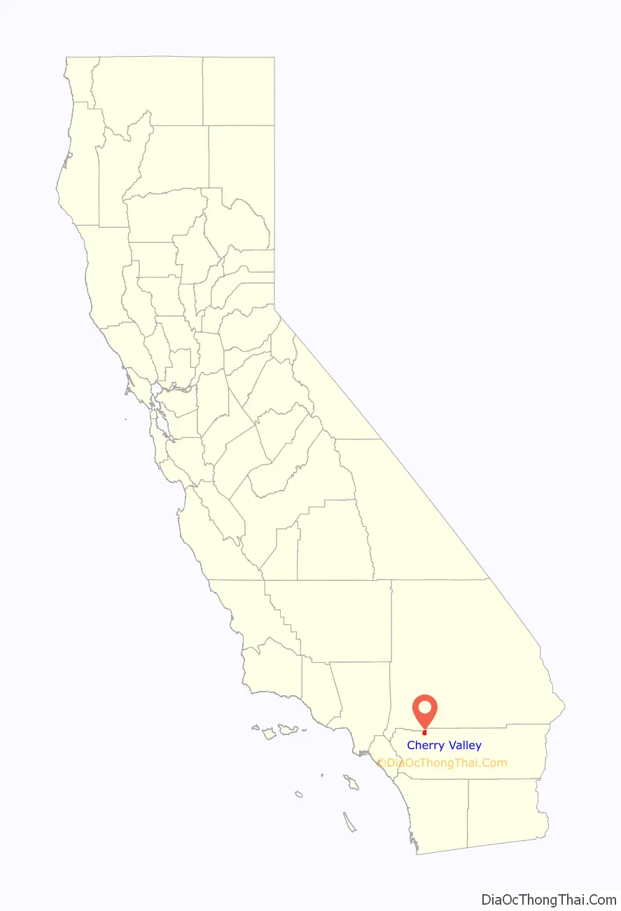
Cherry Valley location map. Where is Cherry Valley CDP?
History
In the early 1800s, the area was known as Rancho San Gorgonio, an outpost for the San Gabriel Mission. A large portion of the area was a Spanish Land Grant made to a man by the name of Paulino Weaver. In 1853, Weaver sold some of his land to Dr. Isaac William Smith, who was struck by the land’s natural beauty while looking for stray cattle. Dr. Smith purchased a 1,000 acres for $1,000 from Weaver and established Smith Ranch and Highland Springs Ranch & Inn. The original Smith residence stood near where the swimming pool is today. In 1862, Smith’s ranch was dubbed “Smith Station” and was made a stagecoach stop. In 1865, a young Wyatt Earp drove the route from San Bernardino to La Paz, Arizona on which Smith Station was a popular stop.
From 1864 to 1866, the route through Highland Springs along the Bradshaw Trail was the single connecting line for passenger, mail and the express travel between Southern California and the eastern regions of the nation. Smith’s Station slowly developed into a hotel bustling with traffic. In 1884, the Smith property was purchased by a Los Angeles company that built a three-story hotel on the property called Highland Home. The first cherry trees in the area were planted here, contributing to the name that it is still known by today.
In 1927, Fred and William Hirsch bought the old Smith place, renamed it Highland Springs Resort, and developed it into a health resort. Fred Hirsch himself was made healthy through following the philosophy of Professor Arnold Ehret, who was an early proponent of juice fasting and colon cleansing. The restaurant on the resort was vegetarian and Hirsch grew a lot of the produce served at the restaurant on the property. He also grew his own grapes and operated a small vineyard. The resort became known as “The Last Resort” as many sick people who were not able to get well with traditional methods, were able to recover through Hirsch’s health practices while staying at the resort. From 1941 to 1945 there was a large World War 2 medical treatment facility at the site:Cherry Valley Hospital.
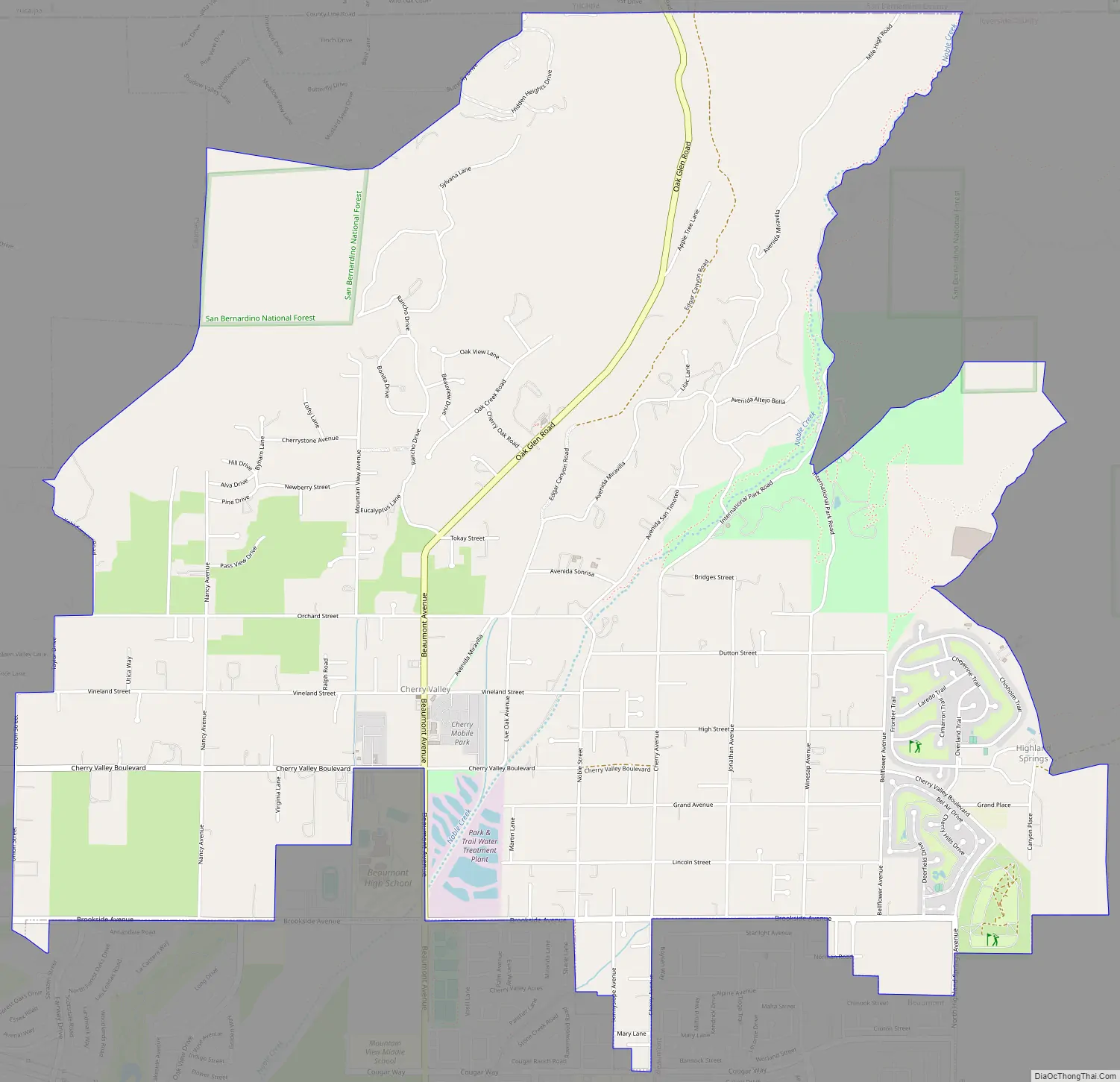
Cherry Valley Road Map
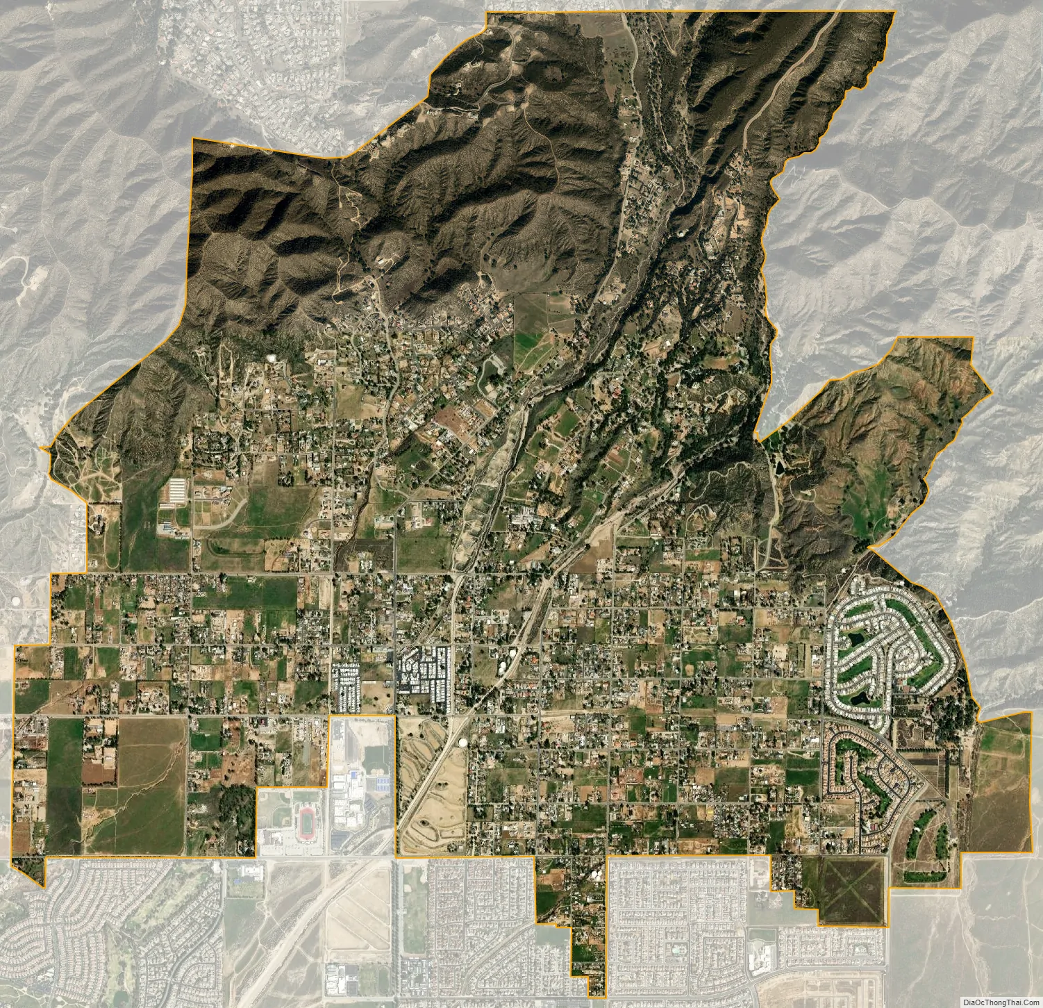
Cherry Valley city Satellite Map
Geography
Cherry Valley is located at 33°58′29″N 116°58′13″W / 33.97472°N 116.97028°W / 33.97472; -116.97028 (33.974848, -116.970300).
With an elevation of 2,980 feet above sea level, Cherry Valley is at the highest point on the San Gorgonio Pass between San Bernardino and Palm Springs. According to the United States Census Bureau, the CDP has a total area of 8.1 square miles (21 km), all of it land.
Climate
According to the Köppen Climate Classification system, Cherry Valley has a hot-summer Mediterranean climate, abbreviated “Csa” on climate maps.
See also
Map of California State and its subdivision:- Alameda
- Alpine
- Amador
- Butte
- Calaveras
- Colusa
- Contra Costa
- Del Norte
- El Dorado
- Fresno
- Glenn
- Humboldt
- Imperial
- Inyo
- Kern
- Kings
- Lake
- Lassen
- Los Angeles
- Madera
- Marin
- Mariposa
- Mendocino
- Merced
- Modoc
- Mono
- Monterey
- Napa
- Nevada
- Orange
- Placer
- Plumas
- Riverside
- Sacramento
- San Benito
- San Bernardino
- San Diego
- San Francisco
- San Joaquin
- San Luis Obispo
- San Mateo
- Santa Barbara
- Santa Clara
- Santa Cruz
- Shasta
- Sierra
- Siskiyou
- Solano
- Sonoma
- Stanislaus
- Sutter
- Tehama
- Trinity
- Tulare
- Tuolumne
- Ventura
- Yolo
- Yuba
- Alabama
- Alaska
- Arizona
- Arkansas
- California
- Colorado
- Connecticut
- Delaware
- District of Columbia
- Florida
- Georgia
- Hawaii
- Idaho
- Illinois
- Indiana
- Iowa
- Kansas
- Kentucky
- Louisiana
- Maine
- Maryland
- Massachusetts
- Michigan
- Minnesota
- Mississippi
- Missouri
- Montana
- Nebraska
- Nevada
- New Hampshire
- New Jersey
- New Mexico
- New York
- North Carolina
- North Dakota
- Ohio
- Oklahoma
- Oregon
- Pennsylvania
- Rhode Island
- South Carolina
- South Dakota
- Tennessee
- Texas
- Utah
- Vermont
- Virginia
- Washington
- West Virginia
- Wisconsin
- Wyoming


