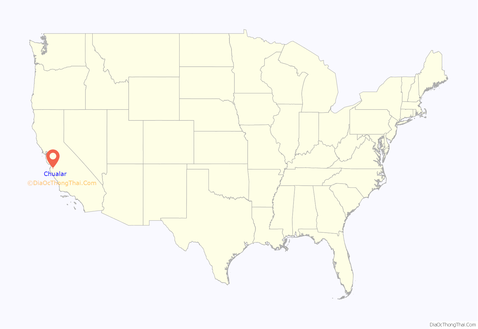
Chualar (Spanish for “Pigweed grove”) is an unincorporated community and census-designated place (CDP) in the Salinas Valley of Monterey County, California, United States. Chualar is located 10 miles (16 km) southeast of Salinas, at an elevation of 115 feet (35 m). The population was 1,185 at the 2020 census.
| Name: | Chualar CDP |
|---|---|
| LSAD Code: | 57 |
| LSAD Description: | CDP (suffix) |
| State: | California |
| County: | Monterey County |
| Elevation: | 115 ft (35 m) |
| Total Area: | 0.63 sq mi (1.62 km²) |
| Land Area: | 0.63 sq mi (1.62 km²) |
| Water Area: | 0.00 sq mi (0.00 km²) 0% |
| Total Population: | 1,185 |
| Population Density: | 1,892.97/sq mi (730.71/km²) |
| ZIP code: | 93925 |
| Area code: | 831 |
| FIPS code: | 0613364 |
Online Interactive Map
Click on ![]() to view map in "full screen" mode.
to view map in "full screen" mode.
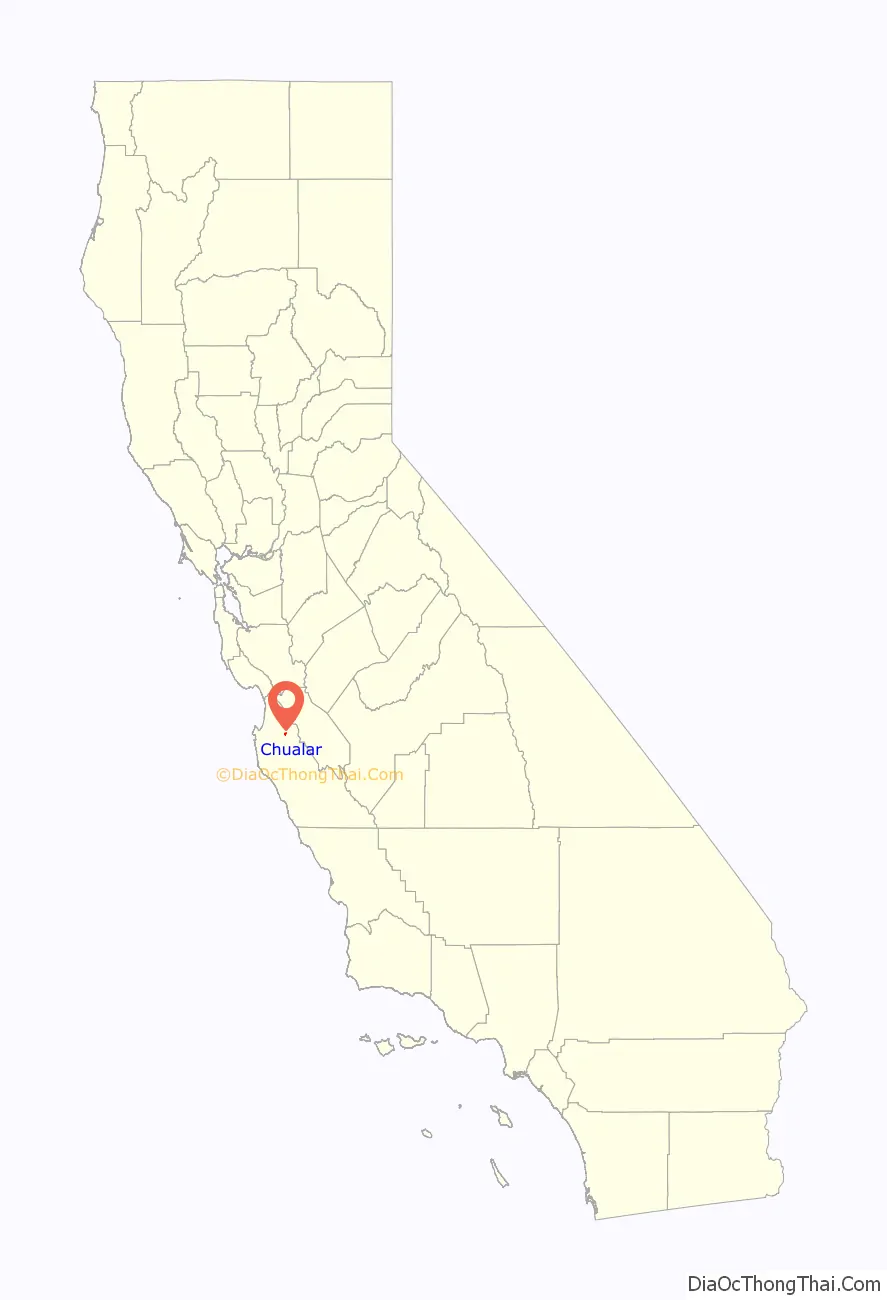
Chualar location map. Where is Chualar CDP?
History
The Chualar post office opened in 1871, closed in 1873, and re-opened in 1874.
At a railroad crossing about one mile south of town, a bus carrying Mexican migrant workers collided with a train in September 1963, killing 32 passengers and injuring 25. It was the most serious road accident in U.S. history, and helped spur the abolition of the bracero guest worker program. The portion of U.S. Route 101 where the accident occurred was named the “Bracero Memorial Highway” on the 50th anniversary of the accident in 2013. At that time two survivors of the crash were still alive.
On December 4, 2019, a levee near Chualar was partially breached at 2 pm. Highway 101 was shut down due to the broken levee. Children were stranded at the local school with a few teachers overnight. The levee break also caused a nursing home to be evacuated.
Chualar was once owned by the Johnson family. They ran cattle on their 15,000+ acre ranch.
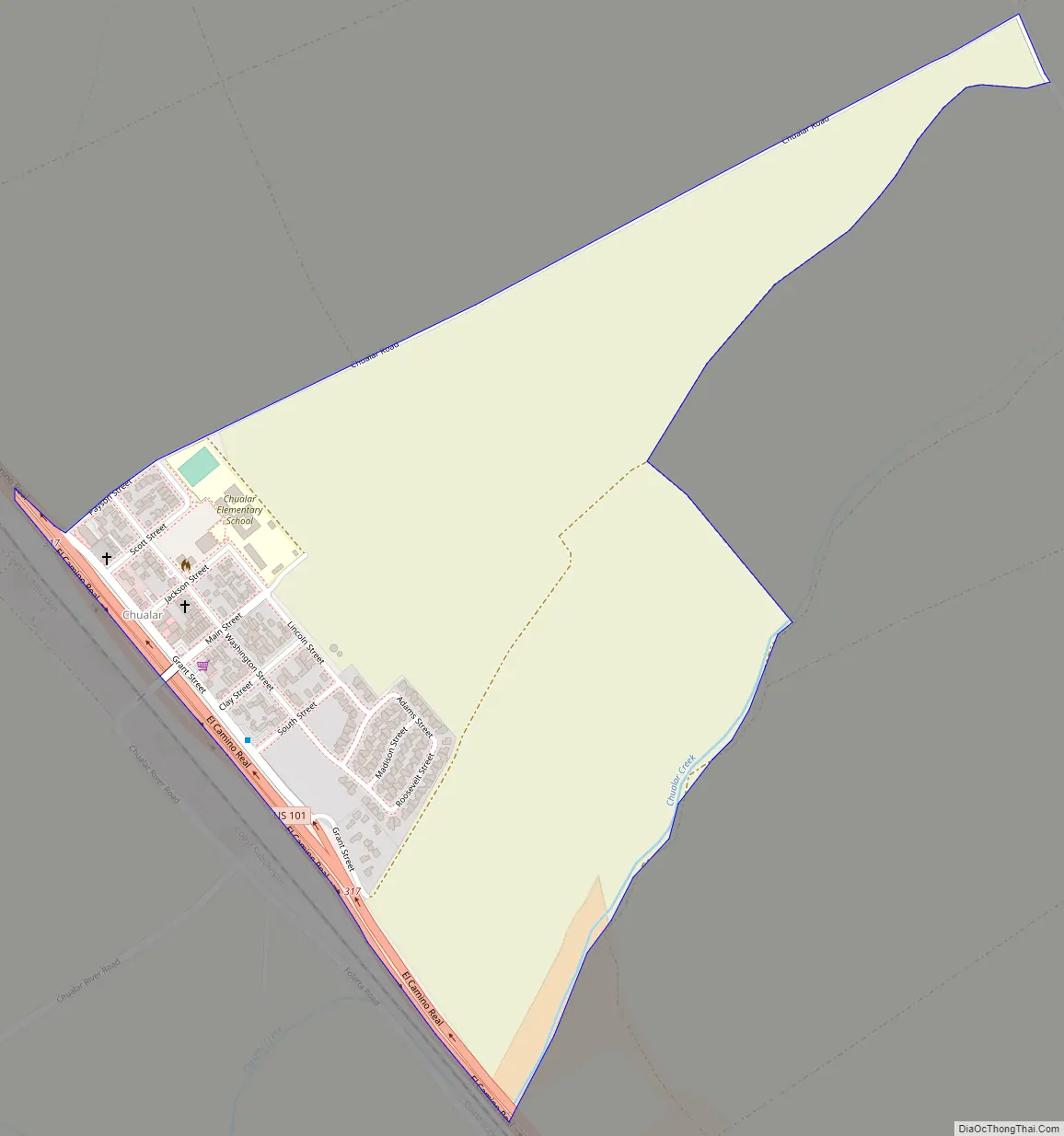
Chualar Road Map
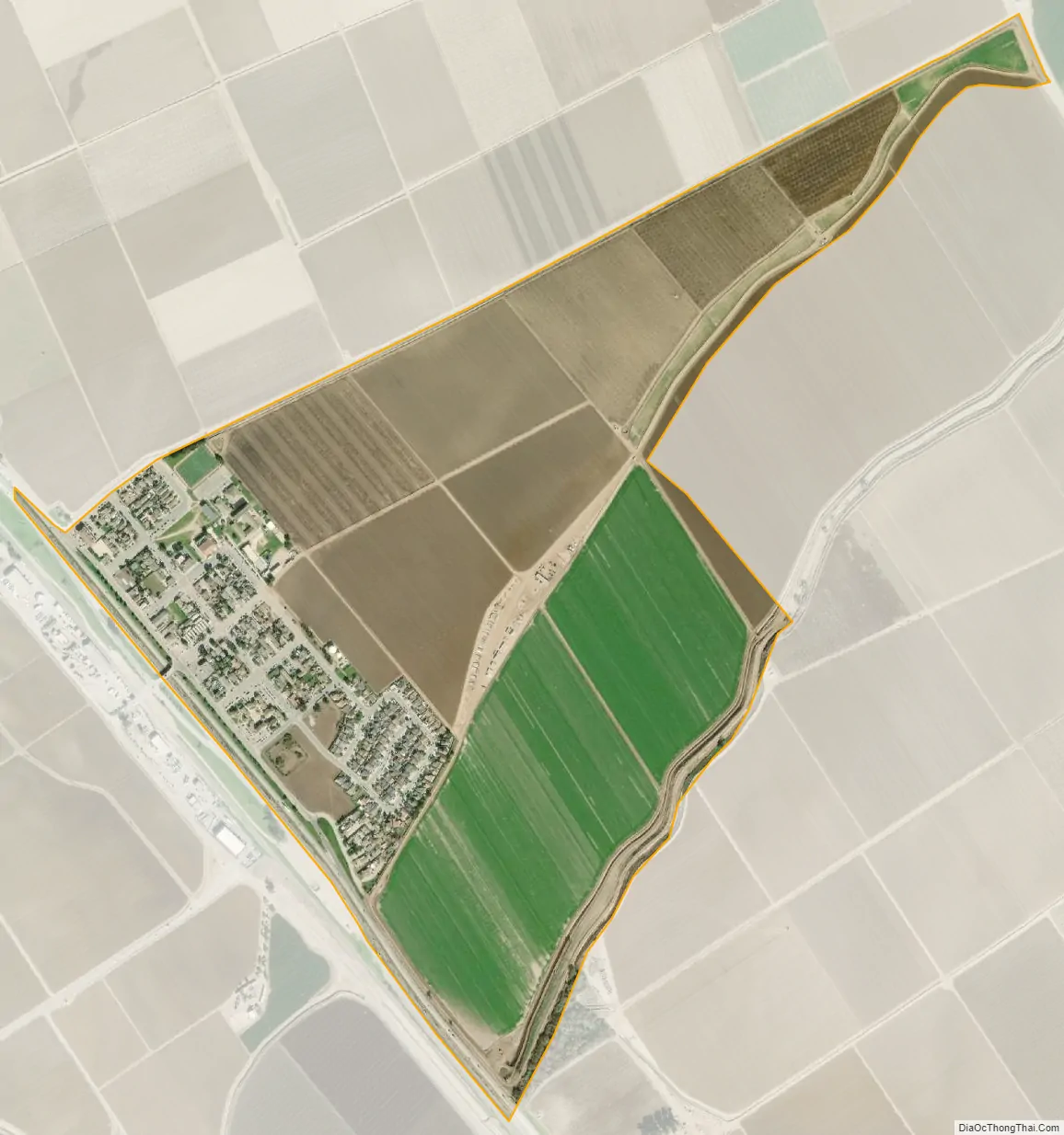
Chualar city Satellite Map
Geography
Chualar is located in northeastern Monterey County at 36°34′14″N 121°31′07″W / 36.57056°N 121.51861°W / 36.57056; -121.51861. U.S. Route 101 runs along the southwest side of the community, leading northwest to Salinas and southeast 16 miles (26 km) to Soledad.
According to the United States Census Bureau, the CDP has a total area of 0.6 square miles (1.6 km), all of it land.
In her Spanish and Indian Place Names of California (1914), Sanchez states that chualar was the indigenous word for an abundant and native goosefoot. This plant could possibly be Chenopodium californicum, the California goosefoot (also known as pigweed). In his 1500 California Place Names (1998), William Bright writes that the name is Spanish for “where the chual grows,” chual being Mexican Spanish for pigweed or goosefoot, and derived ultimately from Nahuatl tzoalli.
See also
Map of California State and its subdivision:- Alameda
- Alpine
- Amador
- Butte
- Calaveras
- Colusa
- Contra Costa
- Del Norte
- El Dorado
- Fresno
- Glenn
- Humboldt
- Imperial
- Inyo
- Kern
- Kings
- Lake
- Lassen
- Los Angeles
- Madera
- Marin
- Mariposa
- Mendocino
- Merced
- Modoc
- Mono
- Monterey
- Napa
- Nevada
- Orange
- Placer
- Plumas
- Riverside
- Sacramento
- San Benito
- San Bernardino
- San Diego
- San Francisco
- San Joaquin
- San Luis Obispo
- San Mateo
- Santa Barbara
- Santa Clara
- Santa Cruz
- Shasta
- Sierra
- Siskiyou
- Solano
- Sonoma
- Stanislaus
- Sutter
- Tehama
- Trinity
- Tulare
- Tuolumne
- Ventura
- Yolo
- Yuba
- Alabama
- Alaska
- Arizona
- Arkansas
- California
- Colorado
- Connecticut
- Delaware
- District of Columbia
- Florida
- Georgia
- Hawaii
- Idaho
- Illinois
- Indiana
- Iowa
- Kansas
- Kentucky
- Louisiana
- Maine
- Maryland
- Massachusetts
- Michigan
- Minnesota
- Mississippi
- Missouri
- Montana
- Nebraska
- Nevada
- New Hampshire
- New Jersey
- New Mexico
- New York
- North Carolina
- North Dakota
- Ohio
- Oklahoma
- Oregon
- Pennsylvania
- Rhode Island
- South Carolina
- South Dakota
- Tennessee
- Texas
- Utah
- Vermont
- Virginia
- Washington
- West Virginia
- Wisconsin
- Wyoming


