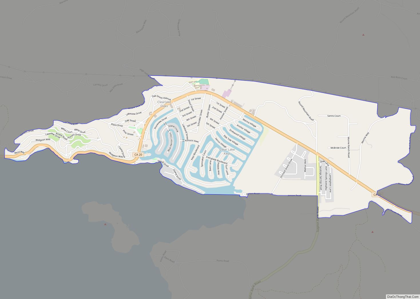
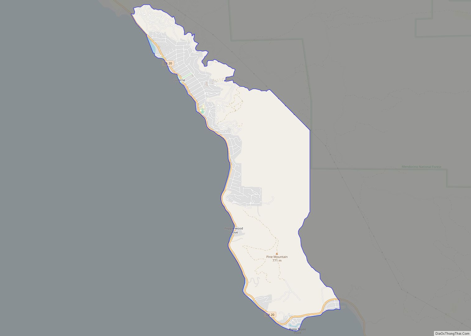
Clearlake Oaks is a census-designated place (CDP) in Lake County, California, United States. It is located on the northeast of Clear Lake, 8 miles (13.8 km) northwest of the town of Clearlake, at an elevation of 1,335 feet (407 m). The population was 2,359 at the 2010 census, down from 2,402 at the 2000 census.
| Name: | Clearlake Oaks CDP |
|---|---|
| LSAD Code: | 57 |
| LSAD Description: | CDP (suffix) |
| State: | California |
| County: | Lake County |
| Elevation: | 1,335 ft (407 m) |
| Total Area: | 2.15 sq mi (5.57 km²) |
| Land Area: | 1.98 sq mi (5.12 km²) |
| Water Area: | 0.17 sq mi (0.44 km²) 6.55% |
| Total Population: | 2,551 |
| Population Density: | 1,289.69/sq mi (497.94/km²) |
| ZIP code: | 95423 |
| Area code: | 707 |
| FIPS code: | 0613966 |
| GNISfeature ID: | 1667849 |
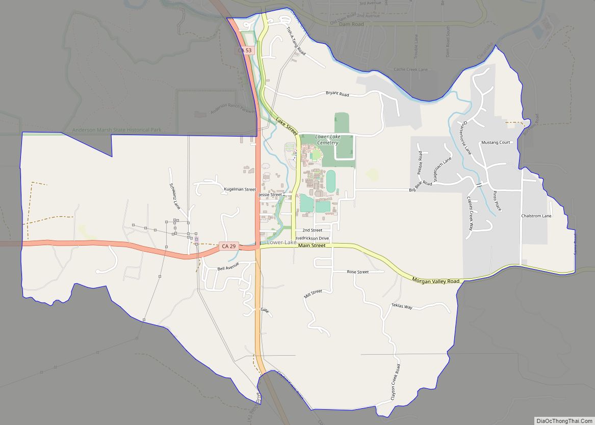
Online Interactive Map
Click on ![]() to view map in "full screen" mode.
to view map in "full screen" mode.
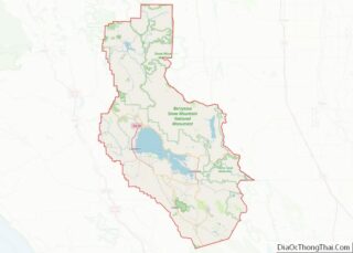
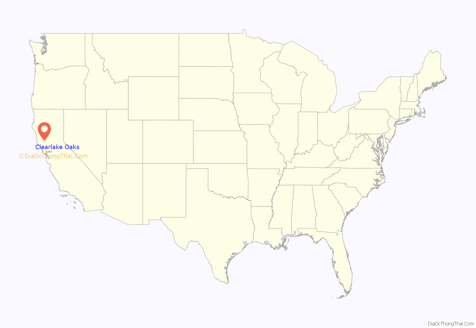
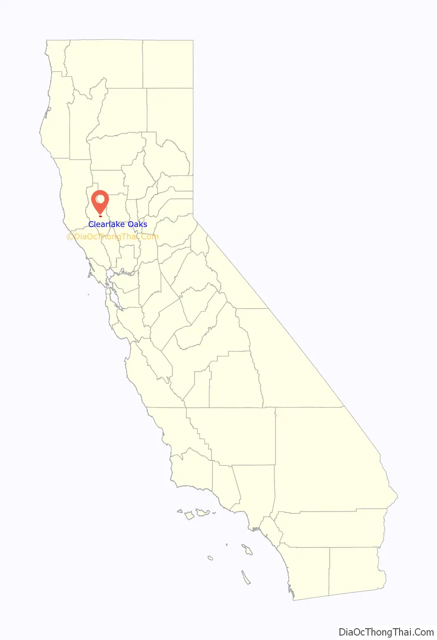
Clearlake Oaks location map. Where is Clearlake Oaks CDP?
History
The community was formerly named Stubbs and Clear Lake Oaks.
The site of the original town, inland of State Route 20, was subdivided by the 1920s. Situated in a broad canyon mouth, the original town site is about 4 blocks long and 3 deep, triangular in shape, with a plaza site in its center. Today the plaza is paved and used for parking by the church located along the west side. Most of the homes in the village remain true to their “fishing cottage” roots.
The Stubbs post office opened in 1926, and changed its name to Clearlake Oaks in 1935. The name Stubbs honored Charles Stubbs, a local landowner. The relocation of the post office, the aging population, and the coming of Wal-Mart have combined to kill the “downtown”. In 1990, there were two markets, a chain hardware store, two gas stations, video store, salon, and several restaurants and bars. A privately operated marina had fish and ski boats for rent. But by the late nineties, Clearlake Oaks was down to one market, one convenience store, and a struggling antique store.
The park, beach, and pier were refurbished a few years back. Recently, a wine-tasting room has opened and live music can again be heard at The Barn. There is hope that something may be yet built at the sites of The Timbers or Sal’s Market. As of 2007, the property next to the grocery store was being cleared and turned into a park, called Nylander Park after the owner of the local grocery store. There are two gas stations, several saloons, a post office, and several restaurants.
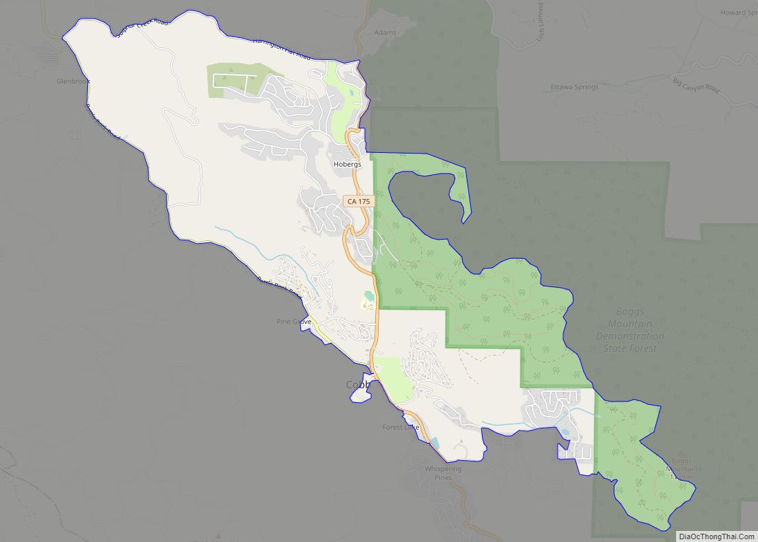
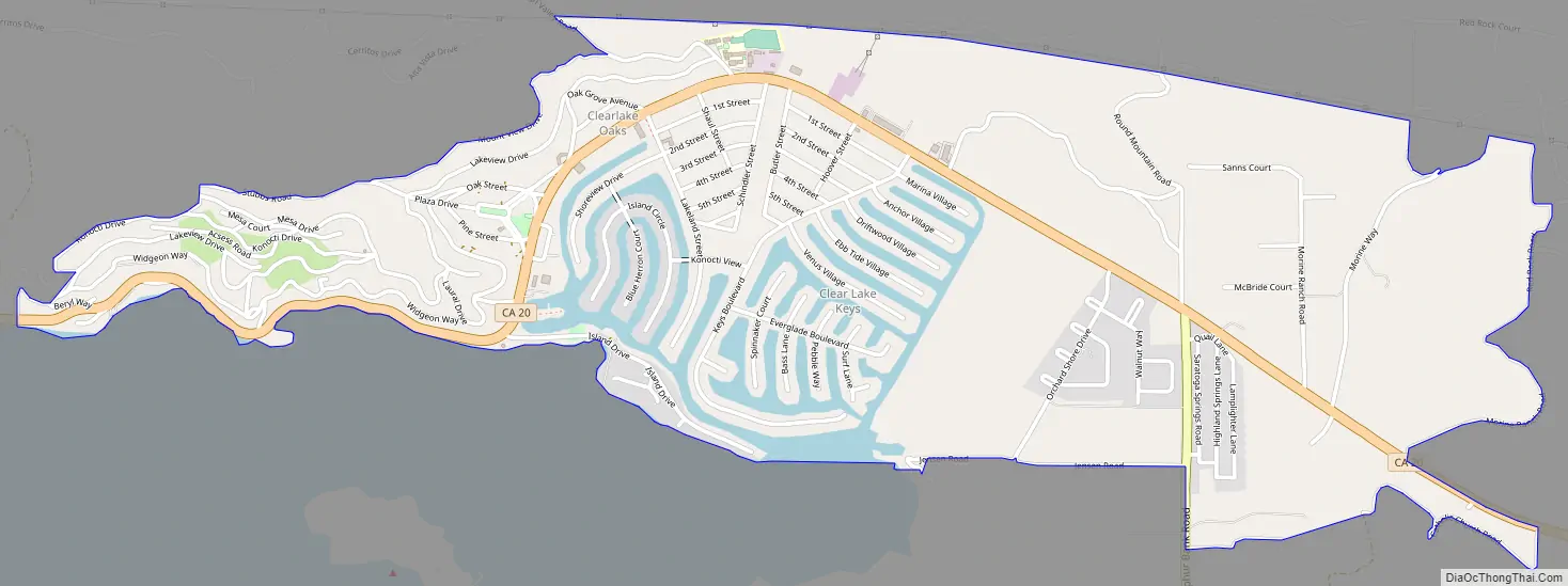
Clearlake Oaks Road Map
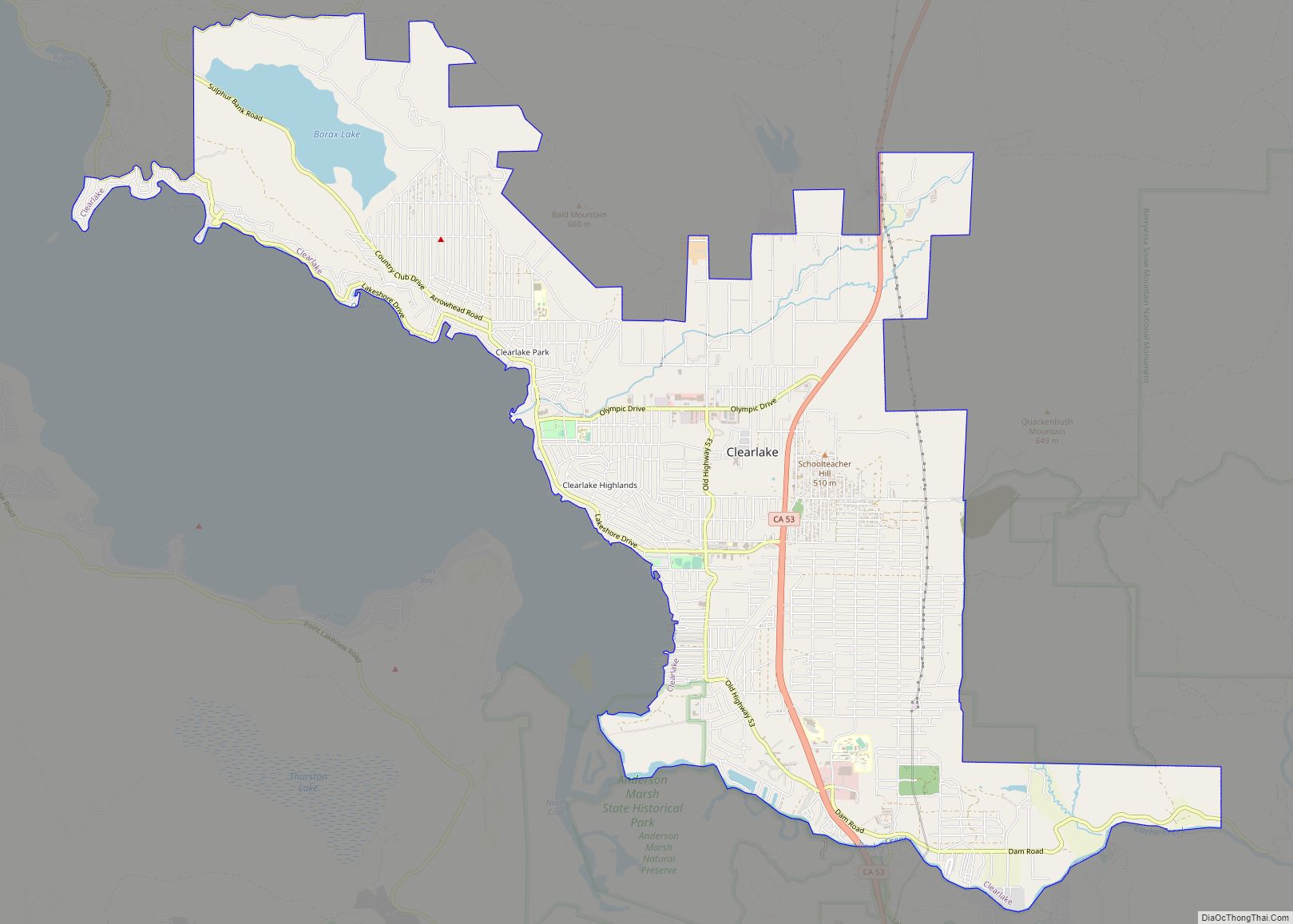
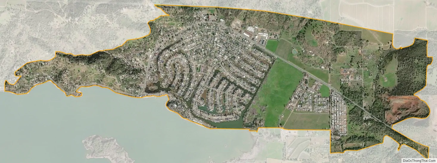
Clearlake Oaks city Satellite Map
Geography
According to the United States Census Bureau, the CDP has a total area of 2.1 square miles (5.4 km), of which 2.0 square miles (5.2 km) is land and 0.1 square miles (0.26 km) (6.55%) is water.
At the 2000 census, according to the United States Census Bureau, the CDP had a total area of 3.0 square miles (7.8 km), of which 3.0 square miles (7.8 km) was land and 0.1 square miles (0.26 km) (1.64%) was water.
See also
Map of California State and its subdivision:- Alameda
- Alpine
- Amador
- Butte
- Calaveras
- Colusa
- Contra Costa
- Del Norte
- El Dorado
- Fresno
- Glenn
- Humboldt
- Imperial
- Inyo
- Kern
- Kings
- Lake
- Lassen
- Los Angeles
- Madera
- Marin
- Mariposa
- Mendocino
- Merced
- Modoc
- Mono
- Monterey
- Napa
- Nevada
- Orange
- Placer
- Plumas
- Riverside
- Sacramento
- San Benito
- San Bernardino
- San Diego
- San Francisco
- San Joaquin
- San Luis Obispo
- San Mateo
- Santa Barbara
- Santa Clara
- Santa Cruz
- Shasta
- Sierra
- Siskiyou
- Solano
- Sonoma
- Stanislaus
- Sutter
- Tehama
- Trinity
- Tulare
- Tuolumne
- Ventura
- Yolo
- Yuba
- Alabama
- Alaska
- Arizona
- Arkansas
- California
- Colorado
- Connecticut
- Delaware
- District of Columbia
- Florida
- Georgia
- Hawaii
- Idaho
- Illinois
- Indiana
- Iowa
- Kansas
- Kentucky
- Louisiana
- Maine
- Maryland
- Massachusetts
- Michigan
- Minnesota
- Mississippi
- Missouri
- Montana
- Nebraska
- Nevada
- New Hampshire
- New Jersey
- New Mexico
- New York
- North Carolina
- North Dakota
- Ohio
- Oklahoma
- Oregon
- Pennsylvania
- Rhode Island
- South Carolina
- South Dakota
- Tennessee
- Texas
- Utah
- Vermont
- Virginia
- Washington
- West Virginia
- Wisconsin
- Wyoming