Coarsegold is a census-designated place in Madera County, California, United States. The population was 4,144 at the 2020 census, up from 1,840 in 2010. The Picayune Rancheria of Chukchansi Indians, a federally recognized tribe, is headquartered in Coarsegold.
| Name: | Coarsegold CDP |
|---|---|
| LSAD Code: | 57 |
| LSAD Description: | CDP (suffix) |
| State: | California |
| County: | Madera County |
| Elevation: | 2,218 ft (676 m) |
| Total Area: | 17.29 sq mi (44.79 km²) |
| Land Area: | 17.23 sq mi (44.62 km²) |
| Water Area: | 0.07 sq mi (0.17 km²) 0% |
| Total Population: | 4,144 |
| Population Density: | 240.54/sq mi (92.87/km²) |
| ZIP code: | 93614 |
| FIPS code: | 0614288 |
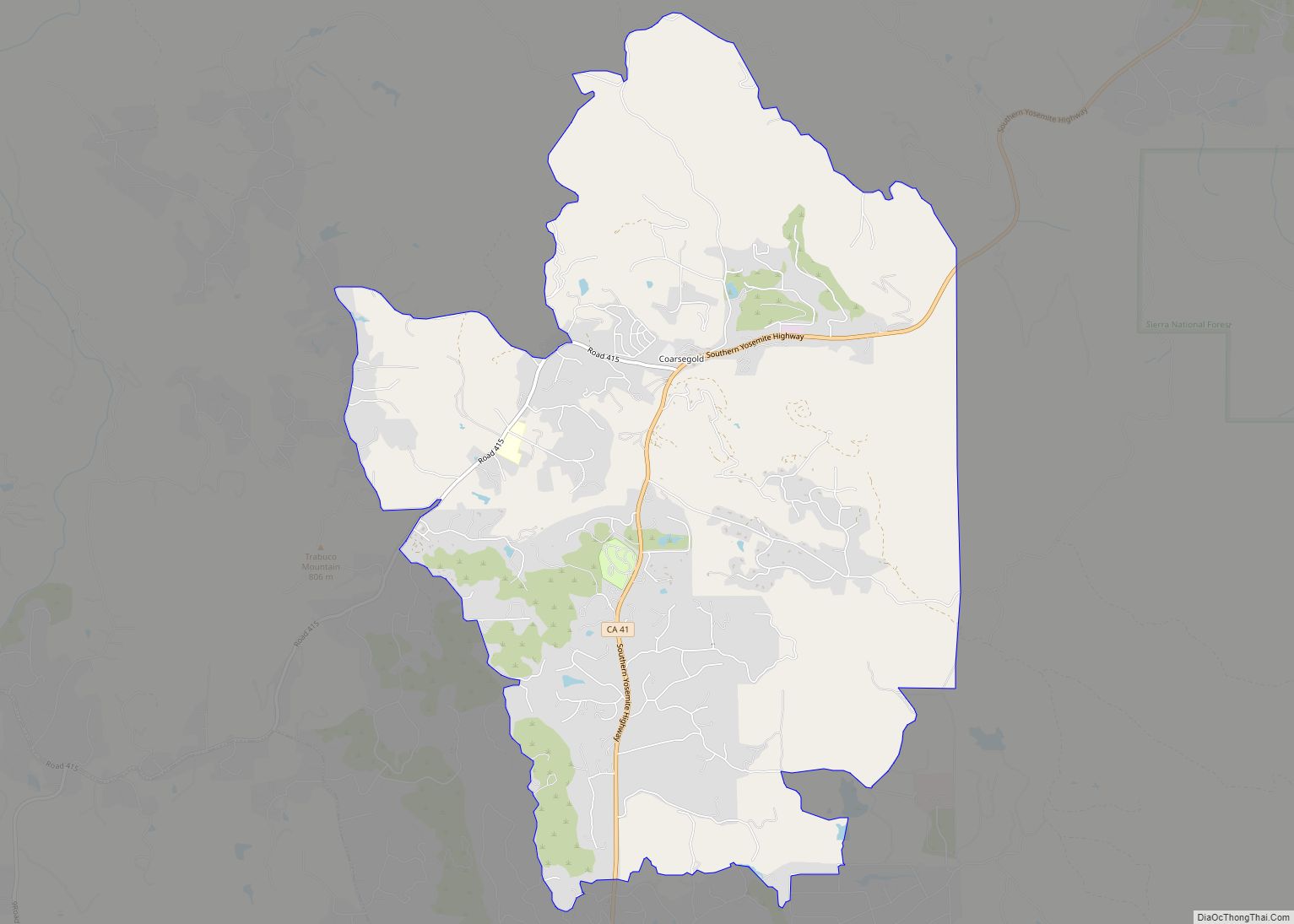
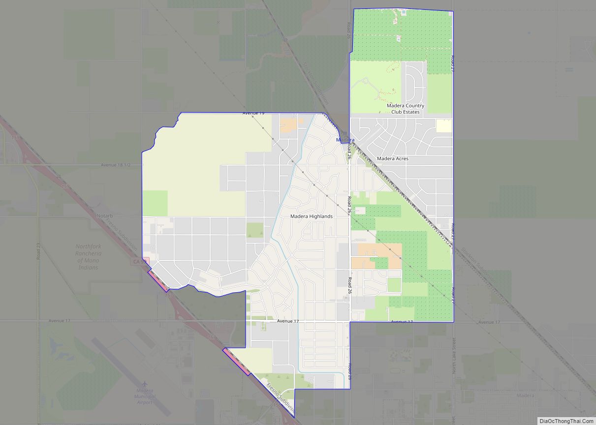
Online Interactive Map
Click on ![]() to view map in "full screen" mode.
to view map in "full screen" mode.
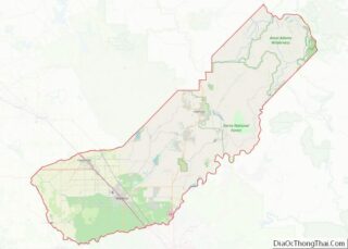
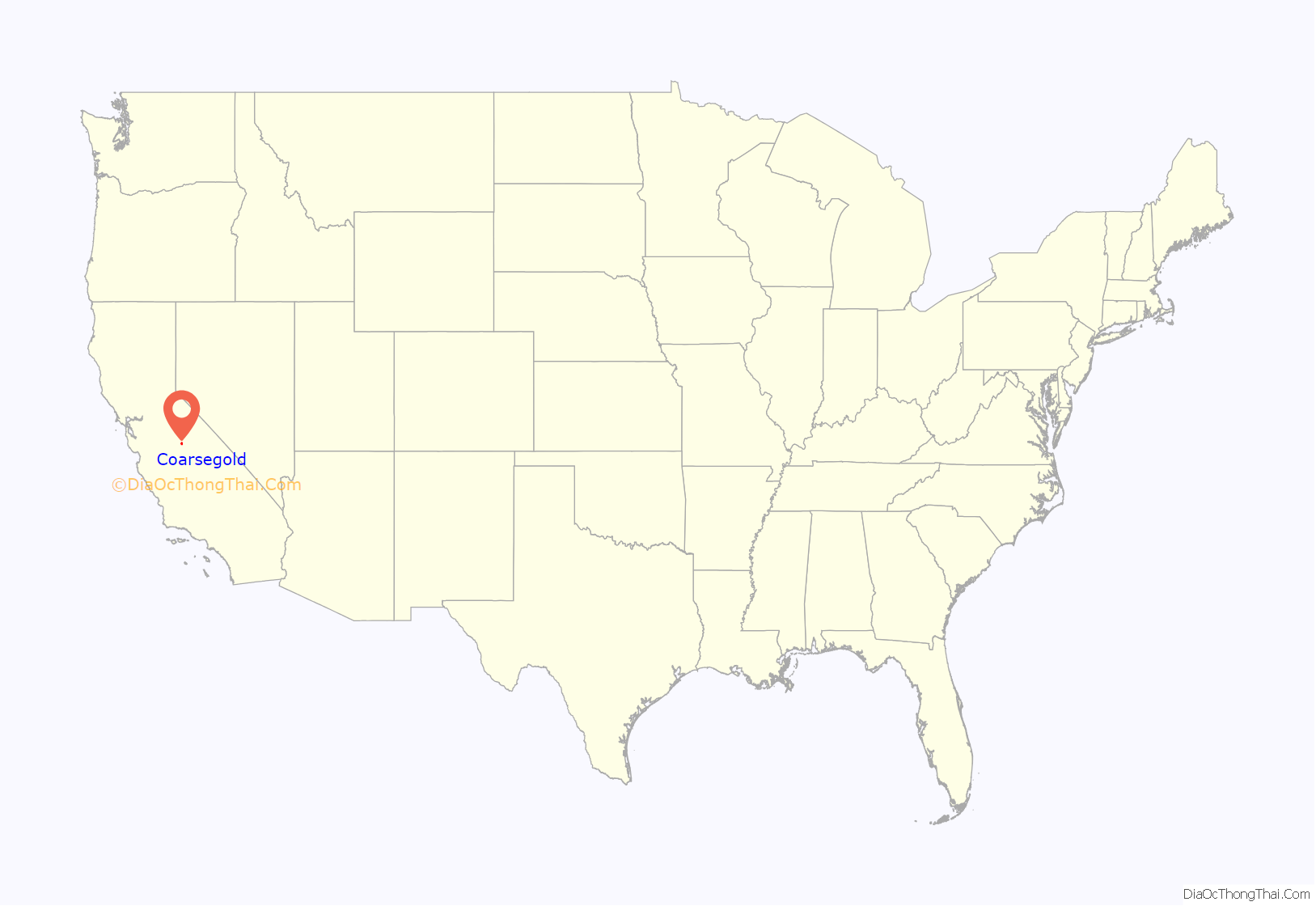
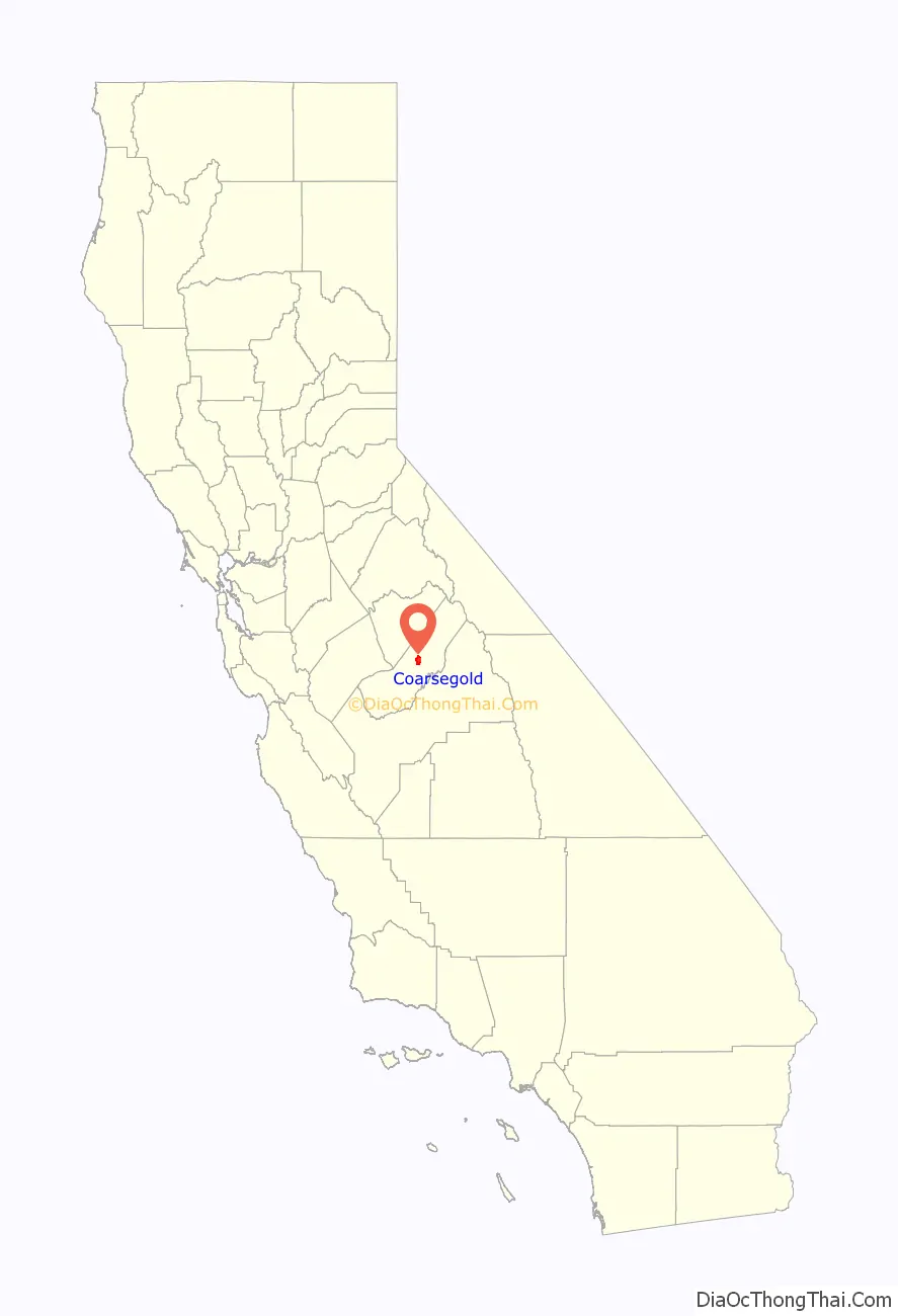
Coarsegold location map. Where is Coarsegold CDP?
History
Coarsegold has previously had several names, including “Coarse Gold”, “Gold Gulch”, “Michaels”, “Oro Grosso”, “Texas Flat”, and “Coarse Gold Gulch”. The place was first called “Texas Flat” after miners from Texas discovered gold there in 1849. By 1874, the name had changed to “Michaels”, honoring Charles Michaels, a local merchant. A rival mining camp inhabited by Mexicans there was called “Oro Grosso”, the Spanish translation of “coarse gold”.
The current name derives from the California Gold Rush of the mid-19th century, when prospectors discovered coarse nuggets of gold in a nearby creek. At one time, several dozen gold mines operated in the area.
The Coarse Gold Gulch post office opened in 1878, changed the name to “Goldgulch” in 1895 and to “Coarsegold” in 1899.
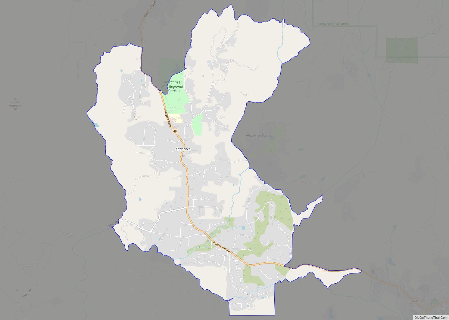
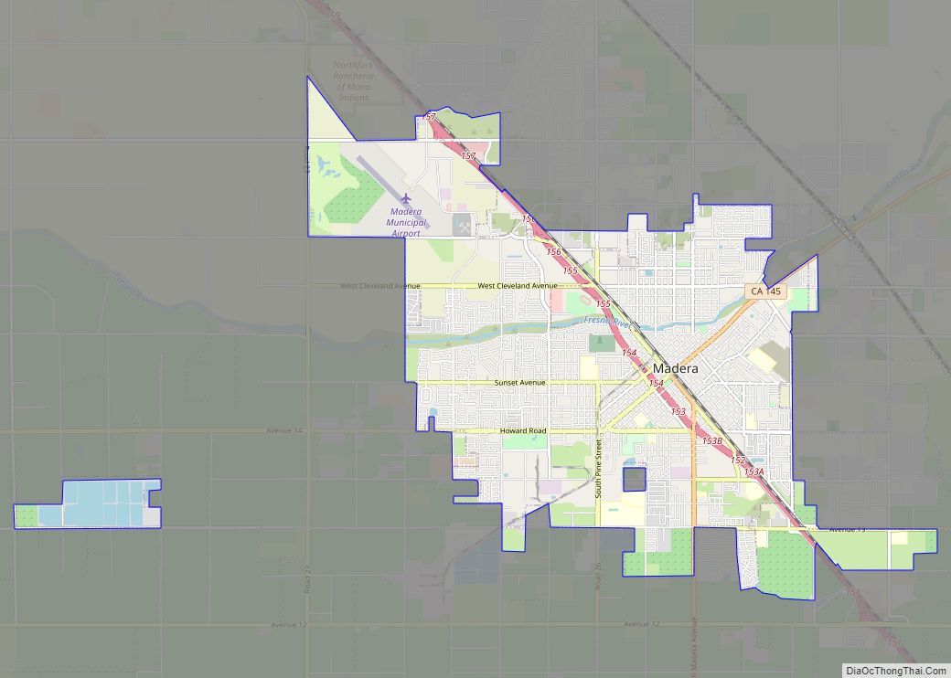
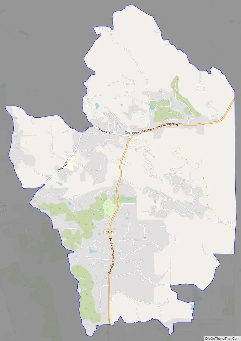
Coarsegold Road Map
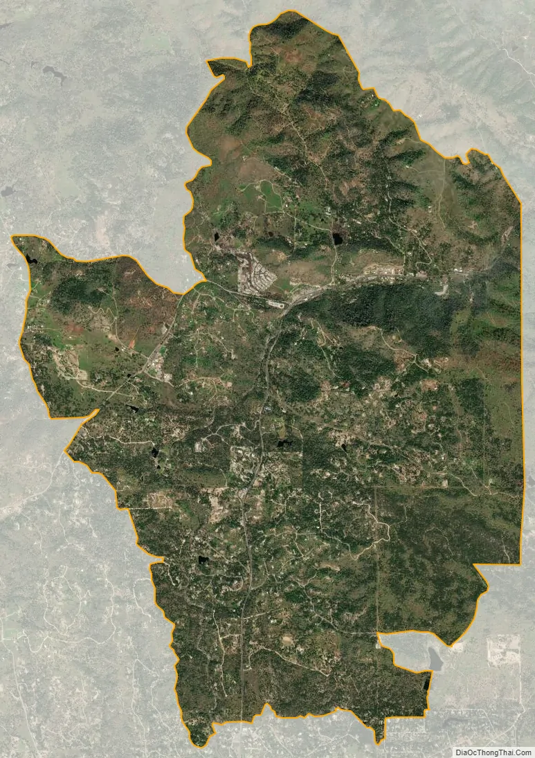
Coarsegold city Satellite Map
Geography
Coarsegold is located on Highway 41 between Fresno and the southern entrance to Yosemite National Park, at an elevation of 2,218 ft (676 m). Fresno is 38 miles (61 km) to the south, and the south entrance of Yosemite is 23 miles (37 km) to the north. Nearby communities include Oakhurst 8 miles (13 km) to the north and Yosemite Lakes Park the same distance to the southwest. The neighborhood of Indian Lakes Estates, 5 miles (8 km) southeast of the center of Coarsegold, is part of the Coarsegold CDP.
According to the U.S. Census Bureau, the CDP has an area of 17.3 square miles (45 km), of which 0.1 square miles (0.3 km), or 0.38%, are water. The area is drained by Coarse Gold Creek, a south-flowing tributary of the Fresno River.
Climate
Coarsegold has a Mediterranean climate (Csa according to the Köppen climate classification system) with hot, dry summers and cool, wet winters. Its average annual precipitation is 27.29 in (693 mm). It is located in hardiness zone 8b.
See also
Map of California State and its subdivision:- Alameda
- Alpine
- Amador
- Butte
- Calaveras
- Colusa
- Contra Costa
- Del Norte
- El Dorado
- Fresno
- Glenn
- Humboldt
- Imperial
- Inyo
- Kern
- Kings
- Lake
- Lassen
- Los Angeles
- Madera
- Marin
- Mariposa
- Mendocino
- Merced
- Modoc
- Mono
- Monterey
- Napa
- Nevada
- Orange
- Placer
- Plumas
- Riverside
- Sacramento
- San Benito
- San Bernardino
- San Diego
- San Francisco
- San Joaquin
- San Luis Obispo
- San Mateo
- Santa Barbara
- Santa Clara
- Santa Cruz
- Shasta
- Sierra
- Siskiyou
- Solano
- Sonoma
- Stanislaus
- Sutter
- Tehama
- Trinity
- Tulare
- Tuolumne
- Ventura
- Yolo
- Yuba
- Alabama
- Alaska
- Arizona
- Arkansas
- California
- Colorado
- Connecticut
- Delaware
- District of Columbia
- Florida
- Georgia
- Hawaii
- Idaho
- Illinois
- Indiana
- Iowa
- Kansas
- Kentucky
- Louisiana
- Maine
- Maryland
- Massachusetts
- Michigan
- Minnesota
- Mississippi
- Missouri
- Montana
- Nebraska
- Nevada
- New Hampshire
- New Jersey
- New Mexico
- New York
- North Carolina
- North Dakota
- Ohio
- Oklahoma
- Oregon
- Pennsylvania
- Rhode Island
- South Carolina
- South Dakota
- Tennessee
- Texas
- Utah
- Vermont
- Virginia
- Washington
- West Virginia
- Wisconsin
- Wyoming