Copperopolis is an unincorporated town and census-designated place (CDP) in Calaveras County, California, United States. The population was 3,671 at the 2010 census, up from 2,363 at the 2000 census. The town is located along State Route 4 and is registered as California Historical Landmark #296.
| Name: | Copperopolis CDP |
|---|---|
| LSAD Code: | 57 |
| LSAD Description: | CDP (suffix) |
| State: | California |
| County: | Calaveras County |
| Elevation: | 997 ft (304 m) |
| Total Area: | 15.61 sq mi (40.44 km²) |
| Land Area: | 15.59 sq mi (40.38 km²) |
| Water Area: | 0.02 sq mi (0.06 km²) 3.09% |
| Total Population: | 3,400 |
| Population Density: | 218.09/sq mi (84.21/km²) |
| ZIP code: | 95228 |
| Area code: | 209 |
| FIPS code: | 0616210 |
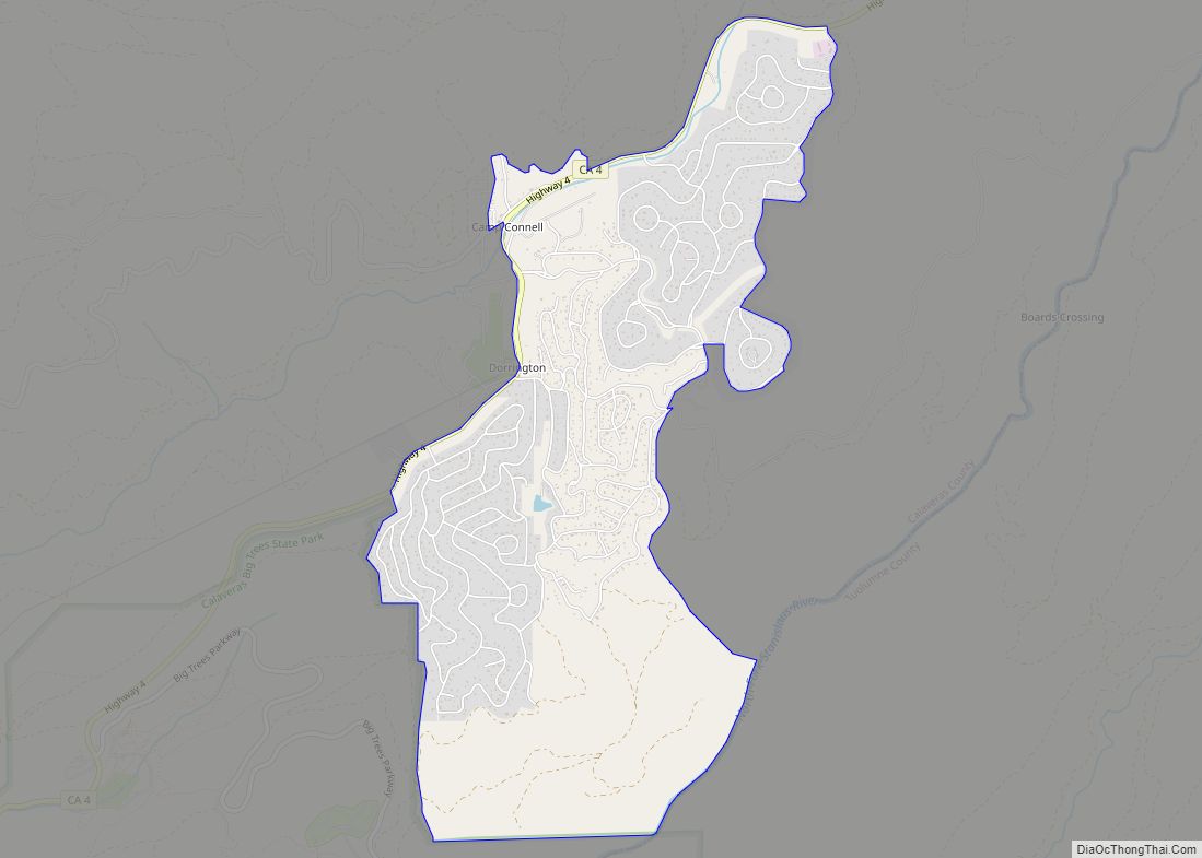
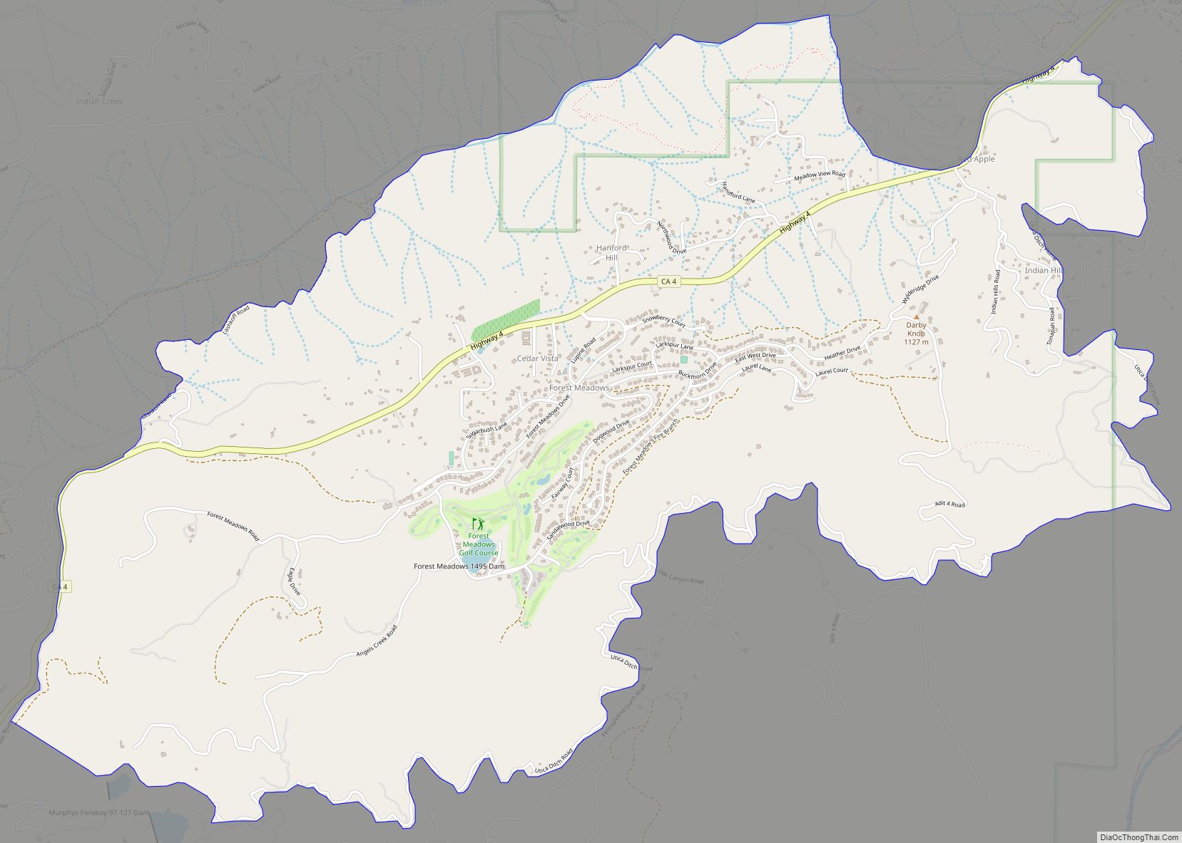
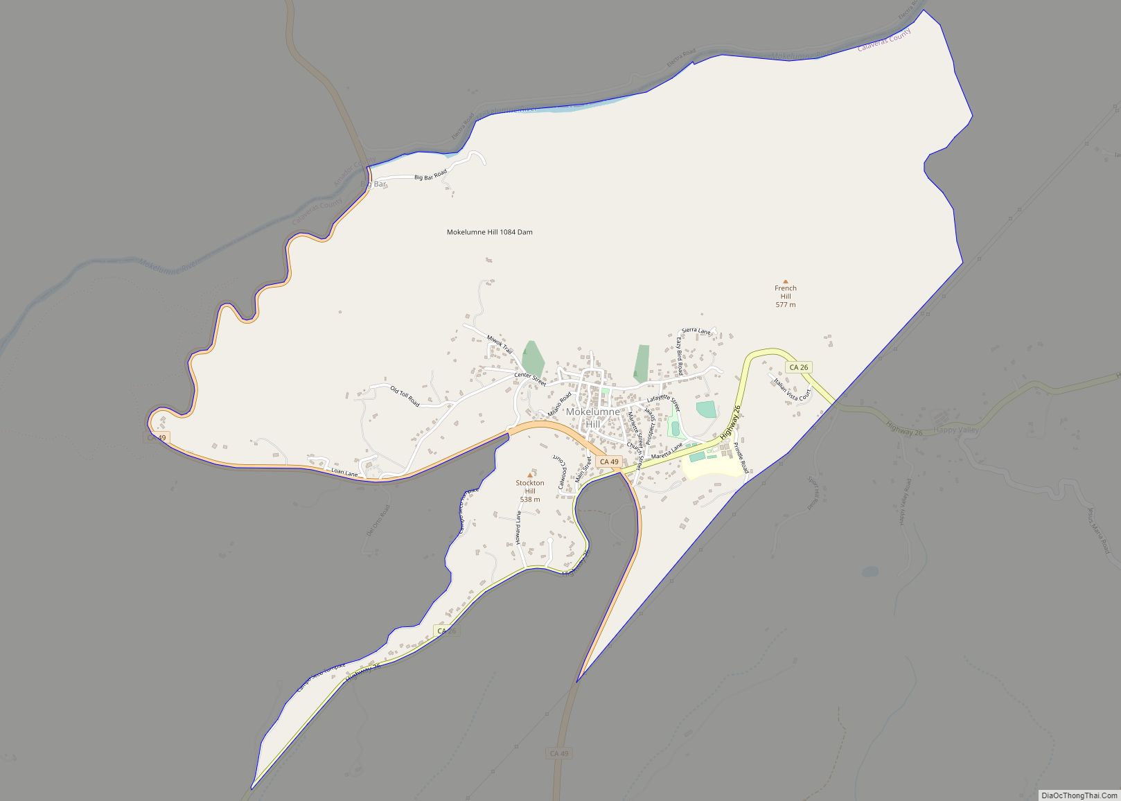
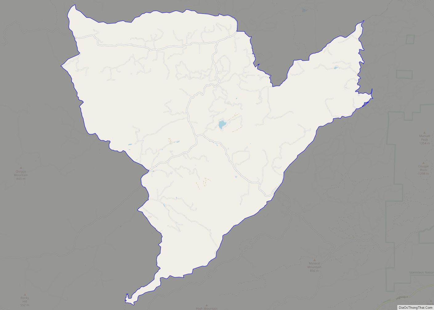
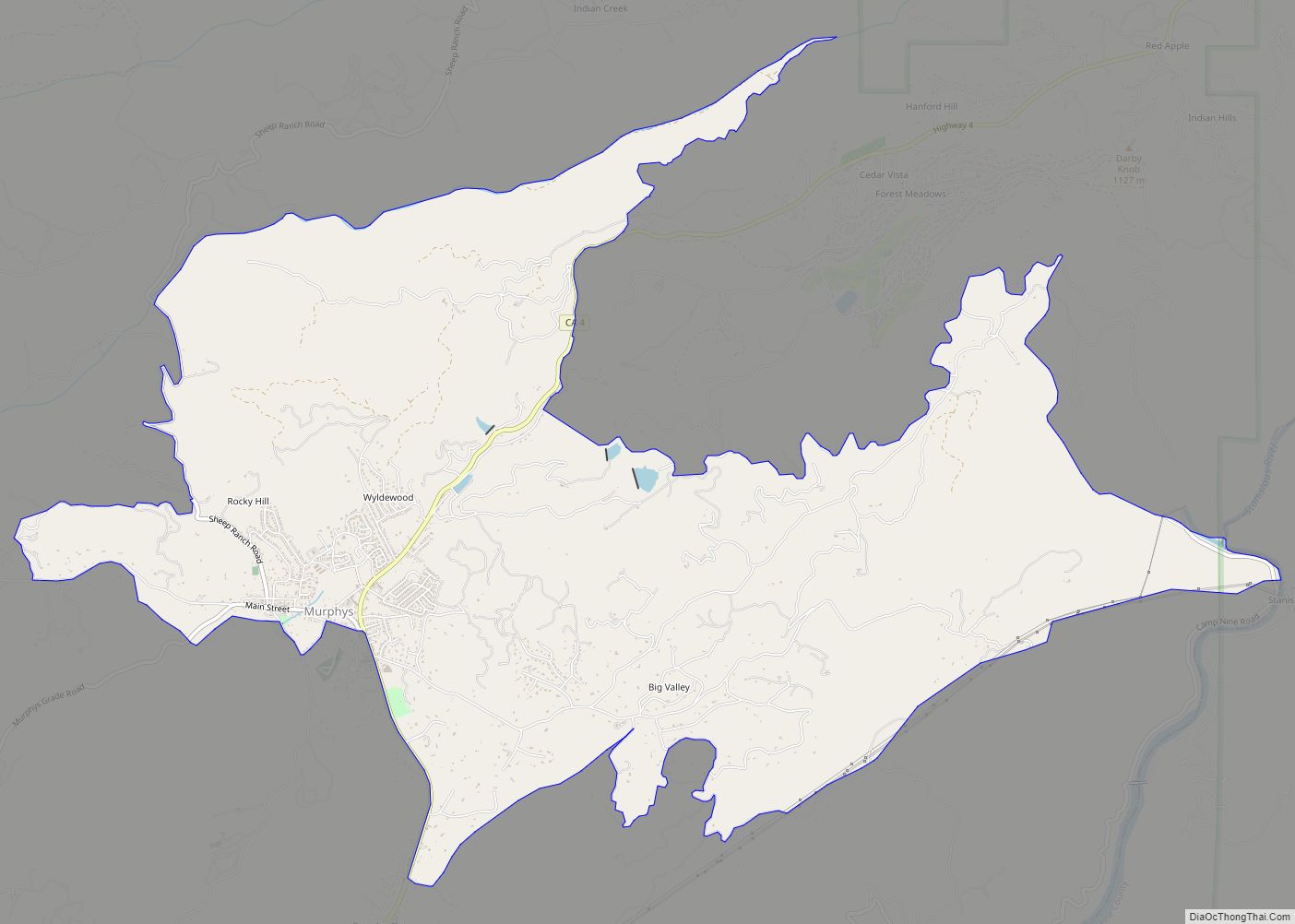
Online Interactive Map
Click on ![]() to view map in "full screen" mode.
to view map in "full screen" mode.
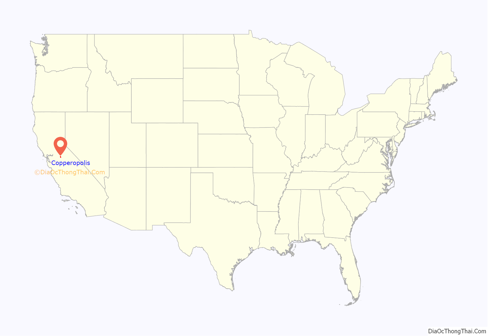
Copperopolis location map. Where is Copperopolis CDP?
History
Unlike most of the mining towns in the Calaveras County, Copperopolis’ claim to fame is not gold, but copper. It was founded in 1860 by William K. Reed, Dr. Allen Blatchly, and Thomas McCarty, at the site of the second major discovery of copper ore in the region (the first was nearby Telegraph City).
William K. Reed and Thomas McCarty founded the Union Copper Mine (and later the Keystone & Empire mines). In 1862, Reed sold out his interest in the mines and built a toll road from Copperopolis through Telegraph City. It connected with a road running westerly into Stockton. This road was called “Reeds Turnpike” and remained a toll road until 1865. Copperopolis was on the main stage road from Sonora to Sacramento.
The town grew rapidly, as the need for copper during the Civil War for material was great. The copper was sent to Stockton and then to San Francisco, where it was loaded onto ships and taken around Cape Horn before finally arriving in smelters on the East Coast.
After the war ended, mining and shipping copper proved too expensive and the population dwindled as the mines closed. However, a Boston company purchased the mines in the 1880s and mining operations resumed. The town went through boom periods during the two World Wars, when demand for copper went up again. By the time the mines closed in 1946, according to the U.S. Bureau of Mines, they had produced 72,598,883 pounds of copper worth over $12 million, which adjusted for inflation is worth approximately $160 million as of 2016. No copper mining has been done since.
The first post office was established in 1861.
Copperopolis has four buildings listed on the National Register of Historic Places:
Copperopolis Armory
Copperopolis Congregational Church
Honigsberger Store
Reed’s Store
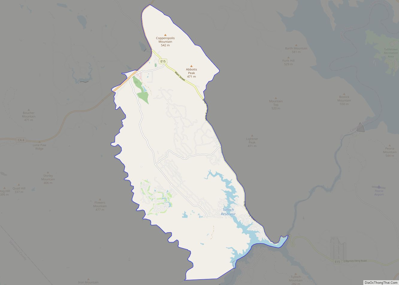
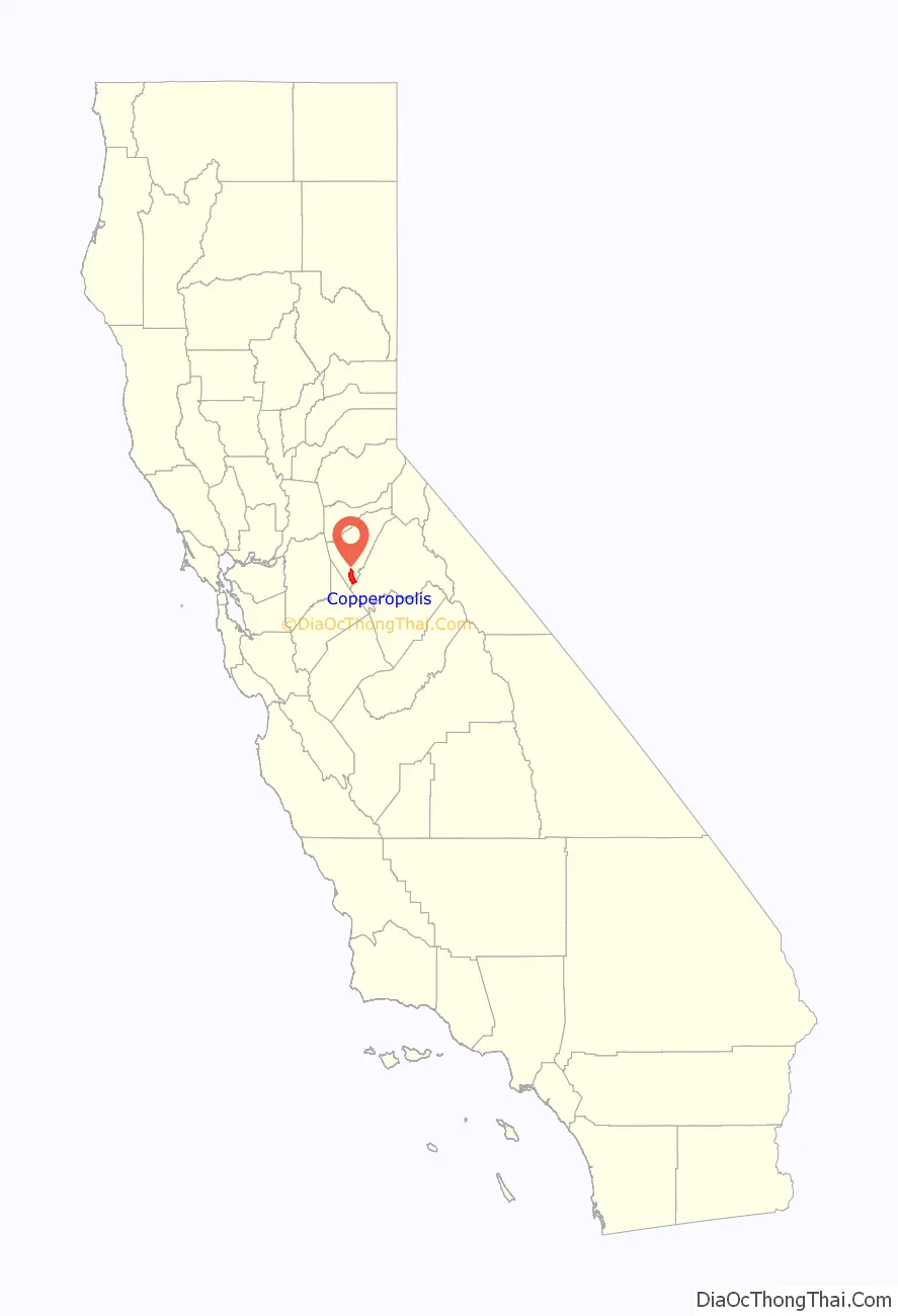
Copperopolis Road Map
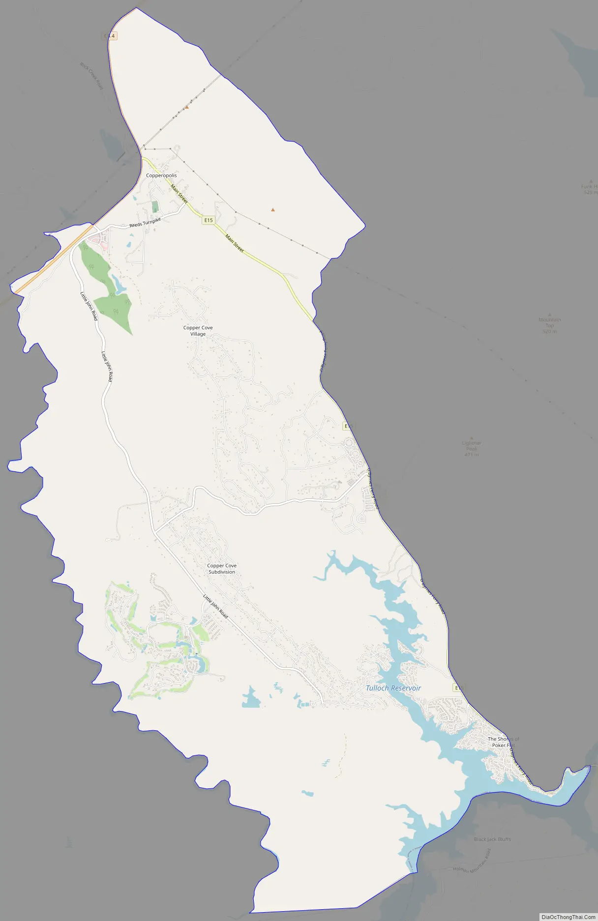
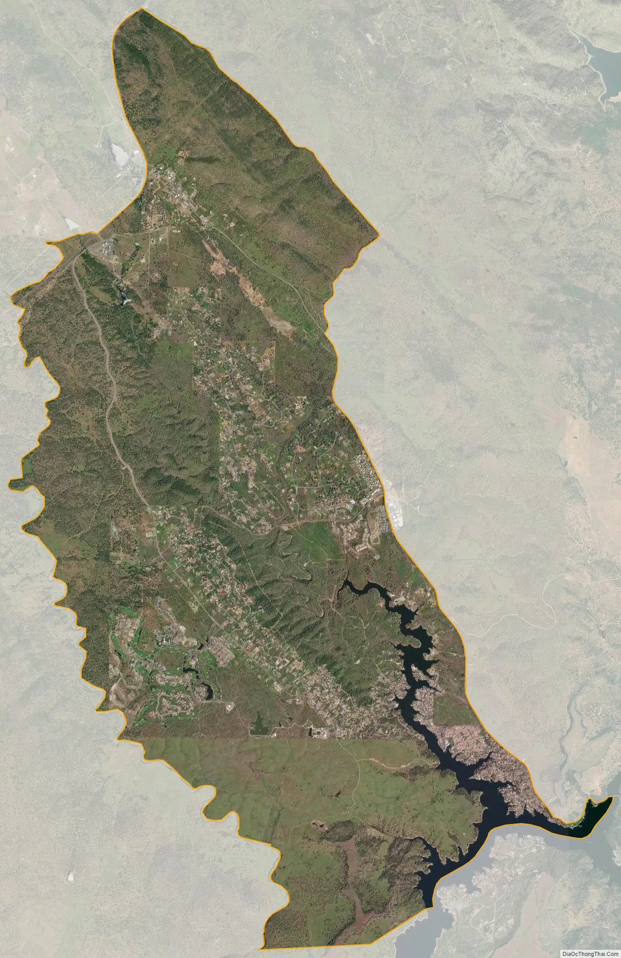
Copperopolis city Satellite Map
Geography
According to the United States Census Bureau, the CDP has a total area of 22.1 square miles (57 km), of which, 21.5 square miles (56 km) of it is land and 0.6 square miles (1.6 km) of it (2.89%) is water.
See also
Map of California State and its subdivision:- Alameda
- Alpine
- Amador
- Butte
- Calaveras
- Colusa
- Contra Costa
- Del Norte
- El Dorado
- Fresno
- Glenn
- Humboldt
- Imperial
- Inyo
- Kern
- Kings
- Lake
- Lassen
- Los Angeles
- Madera
- Marin
- Mariposa
- Mendocino
- Merced
- Modoc
- Mono
- Monterey
- Napa
- Nevada
- Orange
- Placer
- Plumas
- Riverside
- Sacramento
- San Benito
- San Bernardino
- San Diego
- San Francisco
- San Joaquin
- San Luis Obispo
- San Mateo
- Santa Barbara
- Santa Clara
- Santa Cruz
- Shasta
- Sierra
- Siskiyou
- Solano
- Sonoma
- Stanislaus
- Sutter
- Tehama
- Trinity
- Tulare
- Tuolumne
- Ventura
- Yolo
- Yuba
- Alabama
- Alaska
- Arizona
- Arkansas
- California
- Colorado
- Connecticut
- Delaware
- District of Columbia
- Florida
- Georgia
- Hawaii
- Idaho
- Illinois
- Indiana
- Iowa
- Kansas
- Kentucky
- Louisiana
- Maine
- Maryland
- Massachusetts
- Michigan
- Minnesota
- Mississippi
- Missouri
- Montana
- Nebraska
- Nevada
- New Hampshire
- New Jersey
- New Mexico
- New York
- North Carolina
- North Dakota
- Ohio
- Oklahoma
- Oregon
- Pennsylvania
- Rhode Island
- South Carolina
- South Dakota
- Tennessee
- Texas
- Utah
- Vermont
- Virginia
- Washington
- West Virginia
- Wisconsin
- Wyoming