Del Aire (pronunciation) (Spanish for “Of The Air”) is a census-designated place (CDP) in the inland South Bay, Los Angeles County, California, United States, between El Segundo and Hawthorne. The population was 10,001 at the 2010 census, up from 9,012 at the 2000 census.
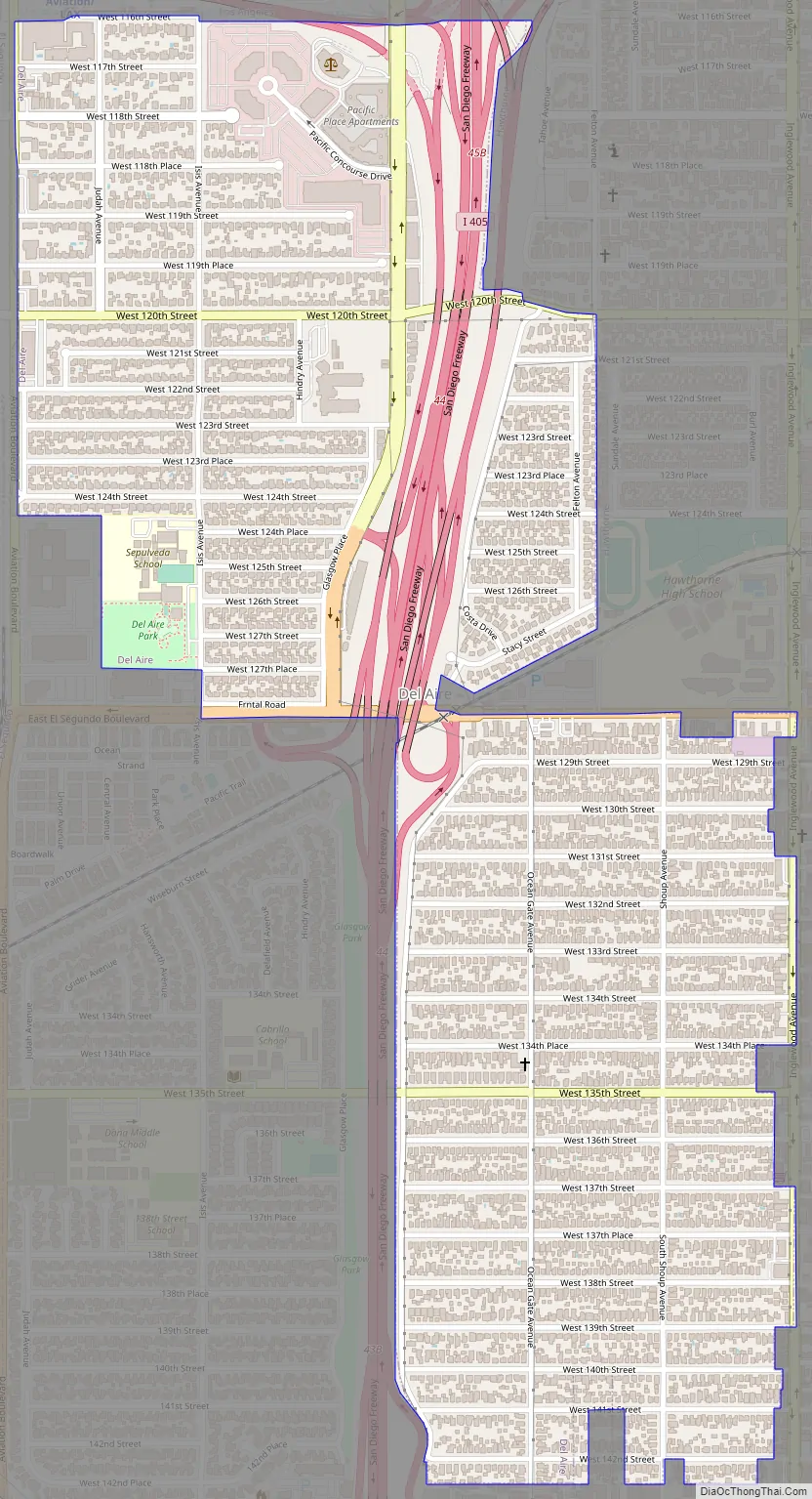
Del Aire is a small unincorporated residential neighborhood next to the Interstate 405/Interstate 105 interchange. It consists of two roughly rectangular shaped parts:
- one to the northwest bounded by I-105 and the City of Los Angeles on the north, El Segundo on the west, Hawthorne on the east, and El Segundo Blvd. on the south, and
- one to the southeast bounded by El Segundo Blvd. on the north and surrounded by Hawthorne on the east, south and west.
The two parts are connected by a sliver of land across El Segundo Blvd.
The Los Angeles Airport Courthouse is in the Del Aire CDP. The Aviation/LAX station on the Metro Green Line light rail is in Los Angeles proper, adjacent to the CDP, and the Los Angeles Air Force Base is in El Segundo, adjacent to Del Aire CDP.
| Name: | Del Aire CDP |
|---|---|
| LSAD Code: | 57 |
| LSAD Description: | CDP (suffix) |
| State: | California |
| County: | Los Angeles County |
| Elevation: | 102 ft (31 m) |
| Total Area: | 1.01 sq mi (2.61 km²) |
| Land Area: | 1.01 sq mi (2.61 km²) |
| Water Area: | 0.00 sq mi (0.00 km²) 0% |
| Total Population: | 10,338 |
| Population Density: | 10,255.95/sq mi (3,958.61/km²) |
| ZIP code: | 90250 & 90304 |
| Area code: | 310/424 |
| FIPS code: | 0618352 |
Online Interactive Map
Click on ![]() to view map in "full screen" mode.
to view map in "full screen" mode.
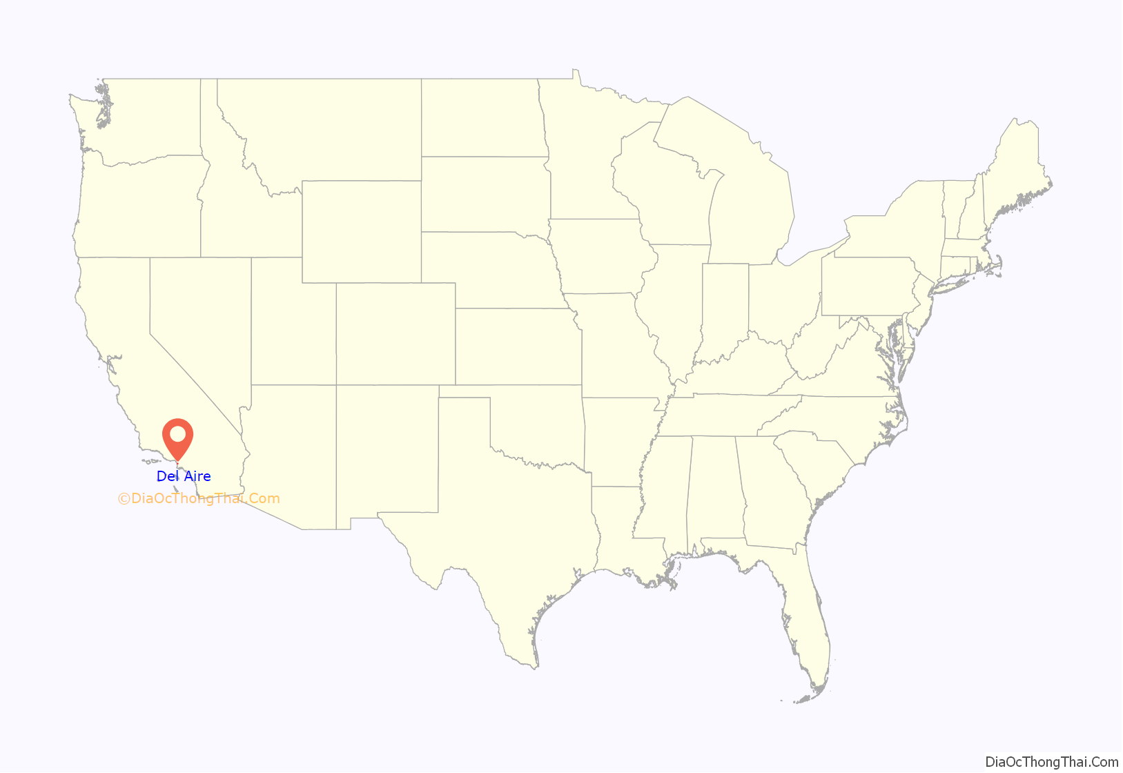
Del Aire location map. Where is Del Aire CDP?
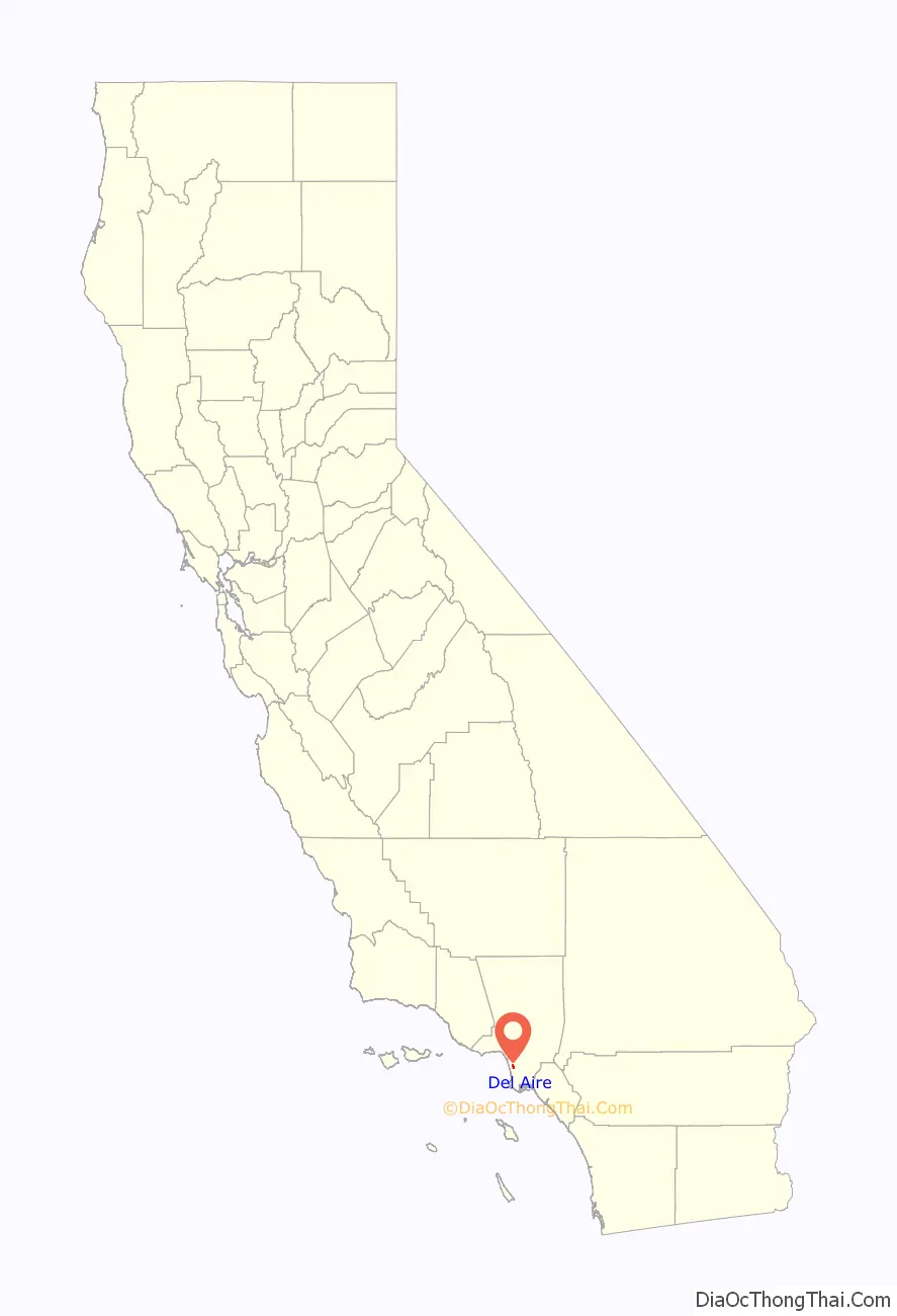
Del Aire Road Map
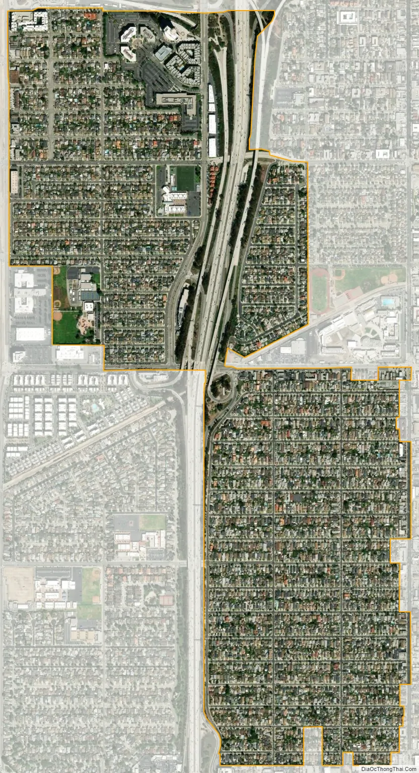
Del Aire city Satellite Map
Geography
Del Aire is located at 33°54′58″N 118°22′9″W / 33.91611°N 118.36917°W / 33.91611; -118.36917 (33.916138, -118.369282).
According to the United States Census Bureau, the CDP has a total area of 1.0 square mile (2.6 km), all land.
The precise boundaries of Del Aire are complex, but can be roughly described as the area south of Imperial Highway between Aviation Boulevard and the San Diego Freeway(I-405) to El Segundo Boulevard. The CDP also includes the area east of the freeway and west of Inglewood Avenue, roughly between El Segundo Boulevard and Rosecrans Avenue, designated “Wiseburn” by L.A. County.
See also
Map of California State and its subdivision:- Alameda
- Alpine
- Amador
- Butte
- Calaveras
- Colusa
- Contra Costa
- Del Norte
- El Dorado
- Fresno
- Glenn
- Humboldt
- Imperial
- Inyo
- Kern
- Kings
- Lake
- Lassen
- Los Angeles
- Madera
- Marin
- Mariposa
- Mendocino
- Merced
- Modoc
- Mono
- Monterey
- Napa
- Nevada
- Orange
- Placer
- Plumas
- Riverside
- Sacramento
- San Benito
- San Bernardino
- San Diego
- San Francisco
- San Joaquin
- San Luis Obispo
- San Mateo
- Santa Barbara
- Santa Clara
- Santa Cruz
- Shasta
- Sierra
- Siskiyou
- Solano
- Sonoma
- Stanislaus
- Sutter
- Tehama
- Trinity
- Tulare
- Tuolumne
- Ventura
- Yolo
- Yuba
- Alabama
- Alaska
- Arizona
- Arkansas
- California
- Colorado
- Connecticut
- Delaware
- District of Columbia
- Florida
- Georgia
- Hawaii
- Idaho
- Illinois
- Indiana
- Iowa
- Kansas
- Kentucky
- Louisiana
- Maine
- Maryland
- Massachusetts
- Michigan
- Minnesota
- Mississippi
- Missouri
- Montana
- Nebraska
- Nevada
- New Hampshire
- New Jersey
- New Mexico
- New York
- North Carolina
- North Dakota
- Ohio
- Oklahoma
- Oregon
- Pennsylvania
- Rhode Island
- South Carolina
- South Dakota
- Tennessee
- Texas
- Utah
- Vermont
- Virginia
- Washington
- West Virginia
- Wisconsin
- Wyoming


