Dollar Point is a census-designated place (CDP) in Placer County, California, United States, along the northwest shore of Lake Tahoe. It is part of the Sacramento–Arden-Arcade–Roseville Metropolitan Statistical Area. The population was 1,215 at the 2010 census down from 1,539 at the 2000 census.
| Name: | Dollar Point CDP |
|---|---|
| LSAD Code: | 57 |
| LSAD Description: | CDP (suffix) |
| State: | California |
| County: | Placer County |
| Elevation: | 6,483 ft (1,976 m) |
| Total Area: | 1.84 sq mi (4.78 km²) |
| Land Area: | 1.64 sq mi (4.23 km²) |
| Water Area: | 0.21 sq mi (0.54 km²) 0% |
| Total Population: | 1,261 |
| Population Density: | 771.25/sq mi (297.76/km²) |
| ZIP code: | 96145 |
| Area code: | 530 |
| FIPS code: | 0619455 |
Online Interactive Map
Click on ![]() to view map in "full screen" mode.
to view map in "full screen" mode.
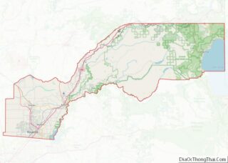
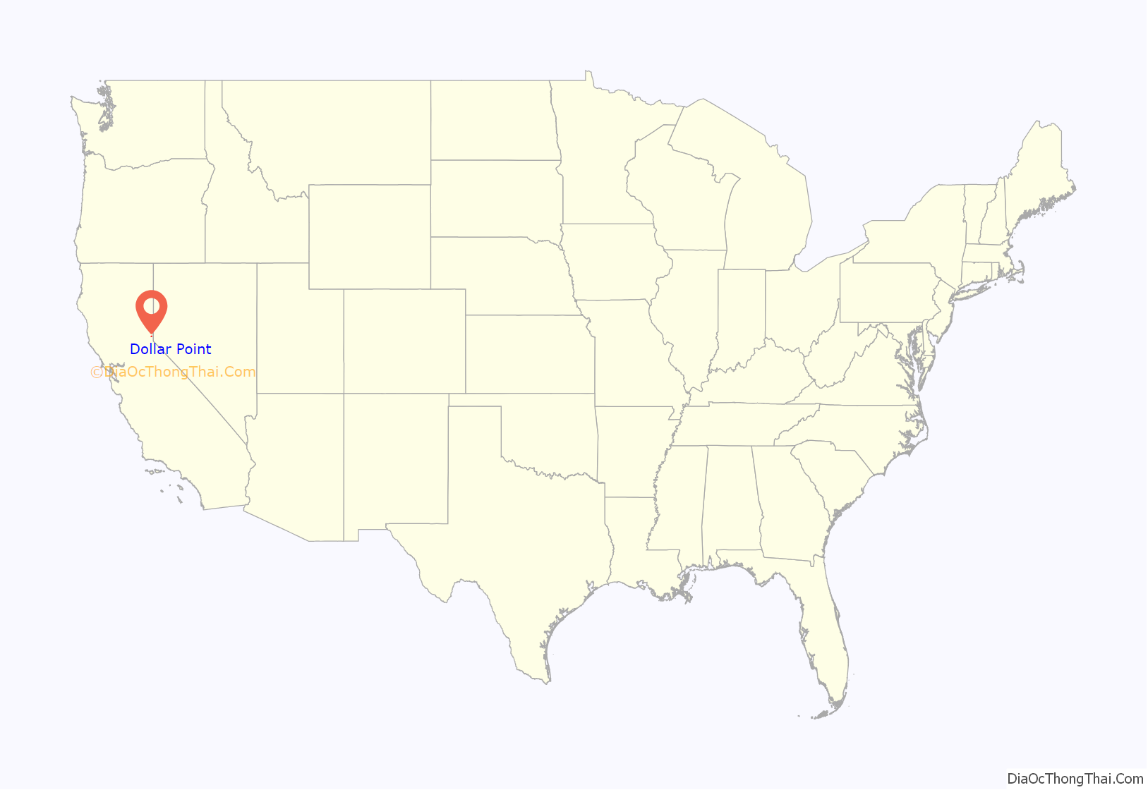
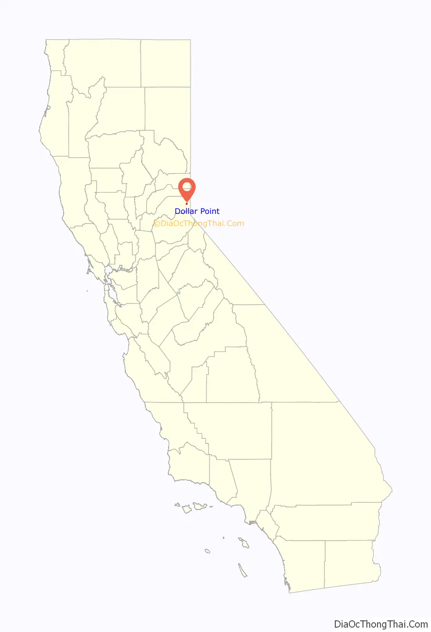
Dollar Point location map. Where is Dollar Point CDP?
History
In 1884 the Glenbrook Mills logged 337 acres on a point on Lake Tahoe. In 1898 Lake Tahoe Railway and Transportation Company (D.L. Bliss) was formed and built 16 miles (26 km) of narrow gauge track into the area that became known as Dollar Point. Southern Pacific leased the track rights in 1925 and converted the tracks to Standard gauge in 1926, bought the property in 1933, and abandoned the tracks in 1943. In 1916 Lora Josephine Knight bought the point. The land was originally part of an area called Chinquapin by the Washoe Indians. Robert Dollar purchased many properties such as the 1,436 acres in Rossmoor, California and in 1927 he purchased the area that had been called “Old Lousy”, “the lousy point”, and Observatory Point, from Lora Knight. She became well known for building Vikingsholm Castle in 1929. She and her husband were also primary financial backers of Charles Lindbergh’s non-stop solo flight across the Atlantic.
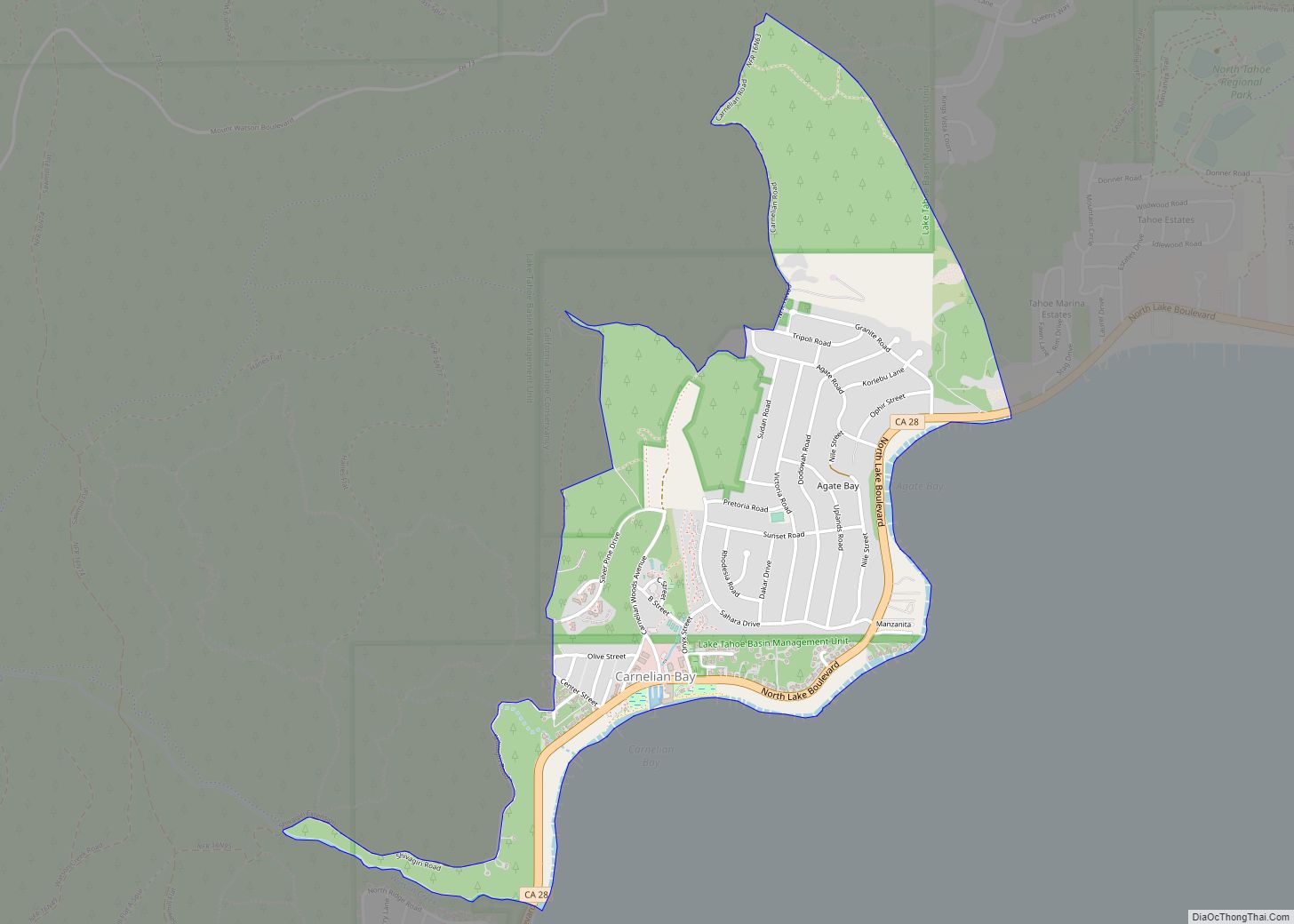
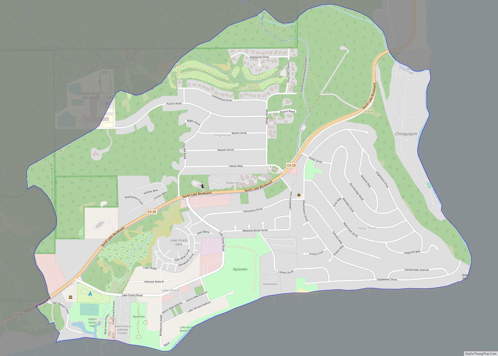
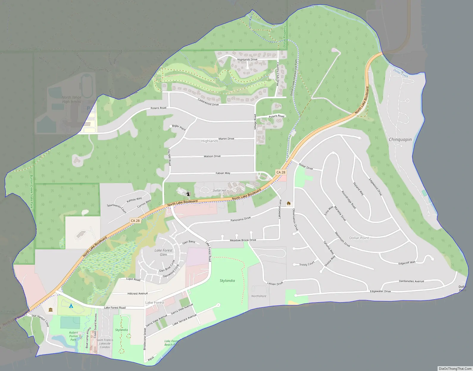
Dollar Point is located within the Sierra Nevada Mountain Range on the Northwest corner of Lake Tahoe. Carnelian Bay is on the north side, Tahoe City to the south, and Tahoe National Forest and Burton Creek State Park extends along the entire east side. State Route 28 is the only major highway access to the area and runs the length of the northwest boundary of Dollar Point. Dollar also purchased a react of land to the east of SR 28 that is now called Chinquapin development.
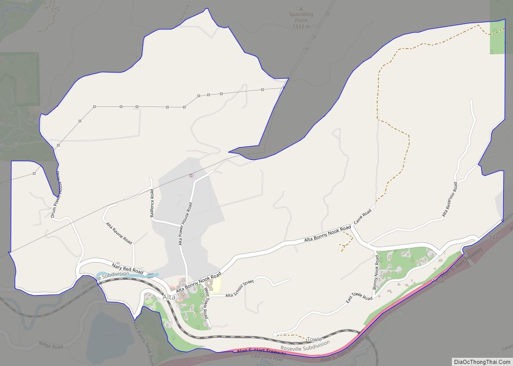
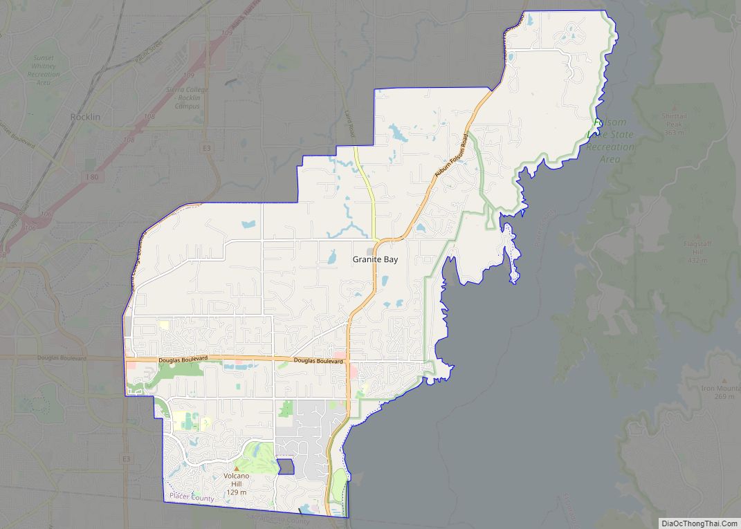
Dollar Point Road Map
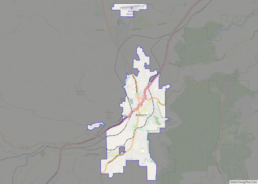
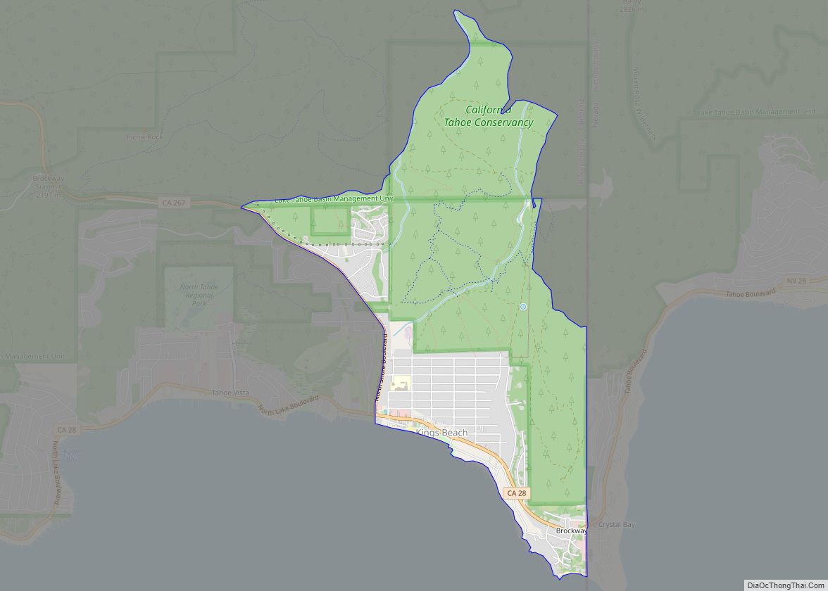
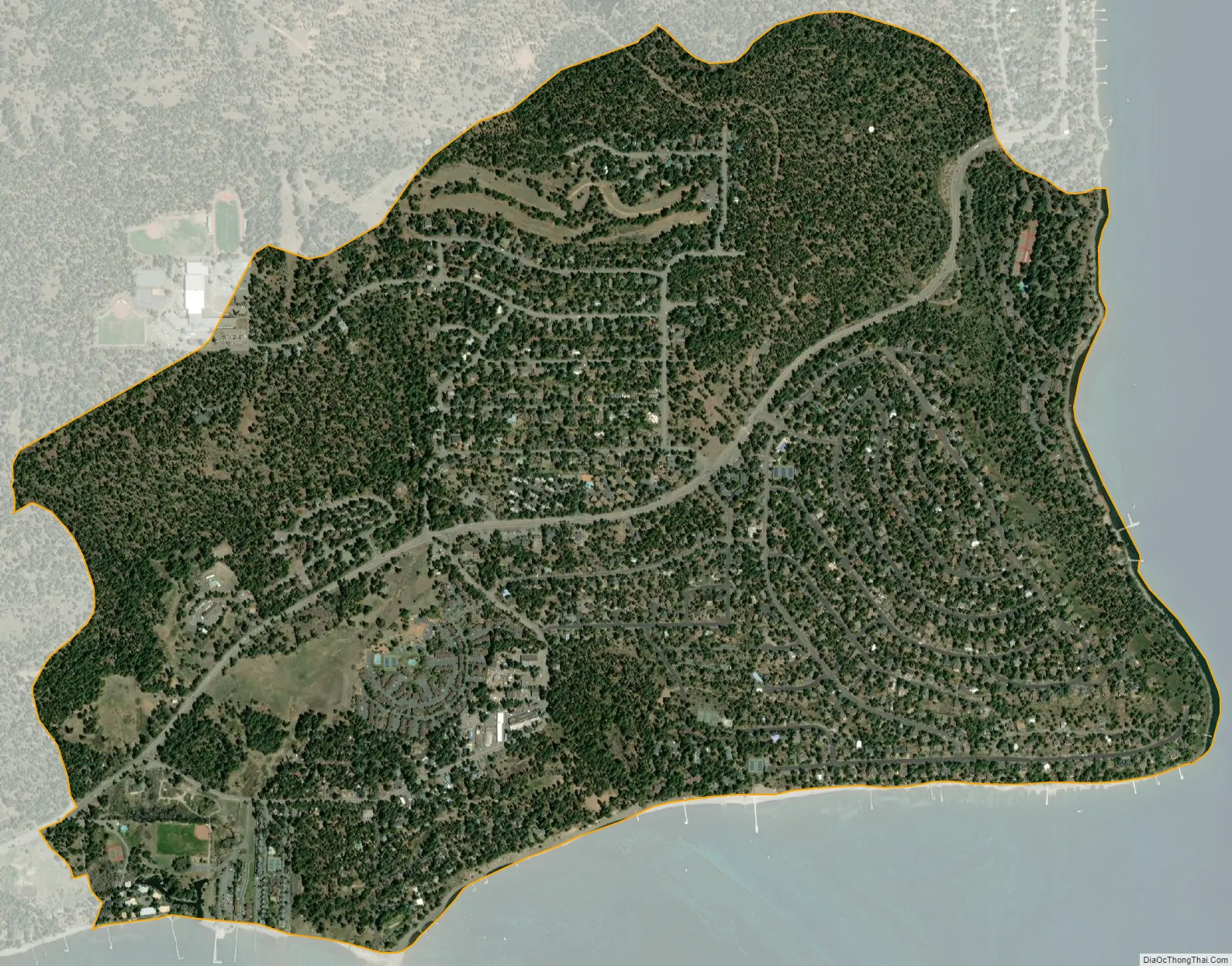
Dollar Point city Satellite Map
Geography
Dollar Point is located at 39°11′19″N 120°6′32″W / 39.18861°N 120.10889°W / 39.18861; -120.10889 (39.188639, -120.108848).
Dollar Creek flows along the northern boundary of the area (that also contains Dollar reservoir) and Burton Creek flows along the southern boundary.
According to the United States Census Bureau, the CDP has a total area of 1.6 square miles (4.1 km), all of it land.
See also
Map of California State and its subdivision:- Alameda
- Alpine
- Amador
- Butte
- Calaveras
- Colusa
- Contra Costa
- Del Norte
- El Dorado
- Fresno
- Glenn
- Humboldt
- Imperial
- Inyo
- Kern
- Kings
- Lake
- Lassen
- Los Angeles
- Madera
- Marin
- Mariposa
- Mendocino
- Merced
- Modoc
- Mono
- Monterey
- Napa
- Nevada
- Orange
- Placer
- Plumas
- Riverside
- Sacramento
- San Benito
- San Bernardino
- San Diego
- San Francisco
- San Joaquin
- San Luis Obispo
- San Mateo
- Santa Barbara
- Santa Clara
- Santa Cruz
- Shasta
- Sierra
- Siskiyou
- Solano
- Sonoma
- Stanislaus
- Sutter
- Tehama
- Trinity
- Tulare
- Tuolumne
- Ventura
- Yolo
- Yuba
- Alabama
- Alaska
- Arizona
- Arkansas
- California
- Colorado
- Connecticut
- Delaware
- District of Columbia
- Florida
- Georgia
- Hawaii
- Idaho
- Illinois
- Indiana
- Iowa
- Kansas
- Kentucky
- Louisiana
- Maine
- Maryland
- Massachusetts
- Michigan
- Minnesota
- Mississippi
- Missouri
- Montana
- Nebraska
- Nevada
- New Hampshire
- New Jersey
- New Mexico
- New York
- North Carolina
- North Dakota
- Ohio
- Oklahoma
- Oregon
- Pennsylvania
- Rhode Island
- South Carolina
- South Dakota
- Tennessee
- Texas
- Utah
- Vermont
- Virginia
- Washington
- West Virginia
- Wisconsin
- Wyoming