Douglas City is a unincorporated community in Trinity County, California first settled during the California Gold Rush. Douglas City sits at an elevation of 2,152 feet (656 m). The ZIP Code is 96024. The community is inside area code 530. Its population is 868 as of the 2020 census, up from 713 from the 2010 census. For statistical purposes, the United States Census Bureau has defined Douglas City as a census-designated place (CDP). The Whiskeytown–Shasta–Trinity National Recreation Area is nearby.
| Name: | Douglas City CDP |
|---|---|
| LSAD Code: | 57 |
| LSAD Description: | CDP (suffix) |
| State: | California |
| County: | Trinity County |
| Elevation: | 2,152 ft (656 m) |
| Total Area: | 30.44 sq mi (78.83 km²) |
| Land Area: | 30.43 sq mi (78.80 km²) |
| Water Area: | 0.01 sq mi (0.03 km²) 0.05% |
| Total Population: | 868 |
| Population Density: | 28.53/sq mi (11.02/km²) |
| ZIP code: | 96024 |
| Area code: | 530 |
| FIPS code: | 0619724 |
| GNISfeature ID: | 2582999 |
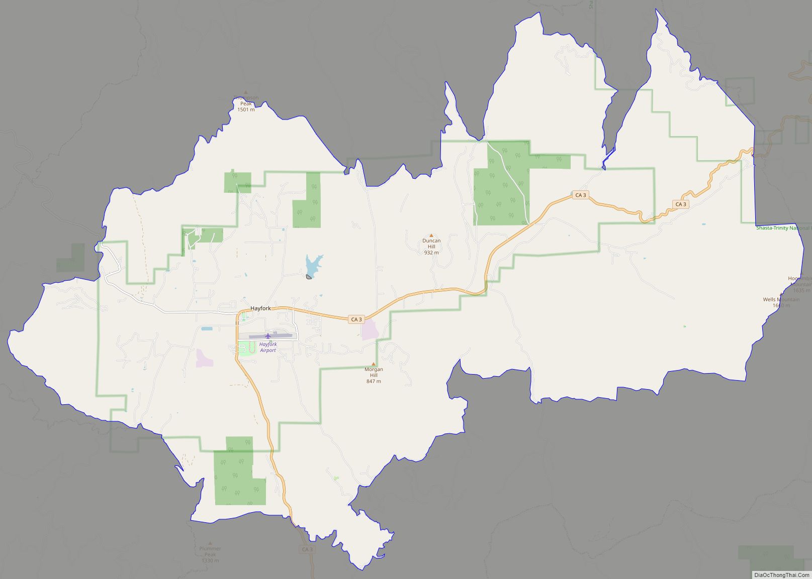
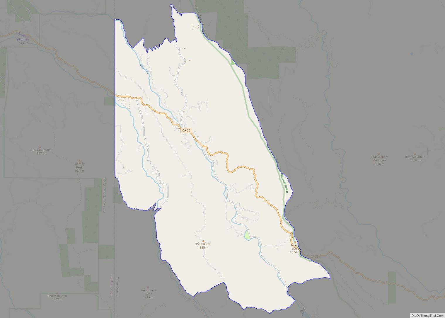
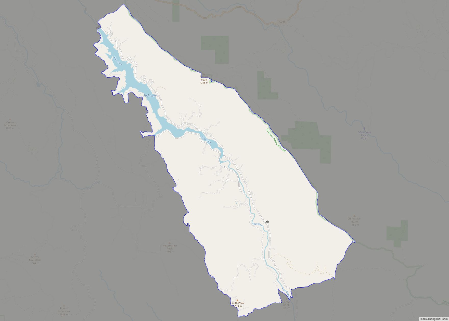
Online Interactive Map
Click on ![]() to view map in "full screen" mode.
to view map in "full screen" mode.
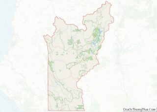
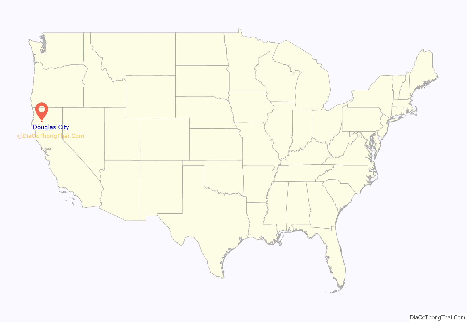
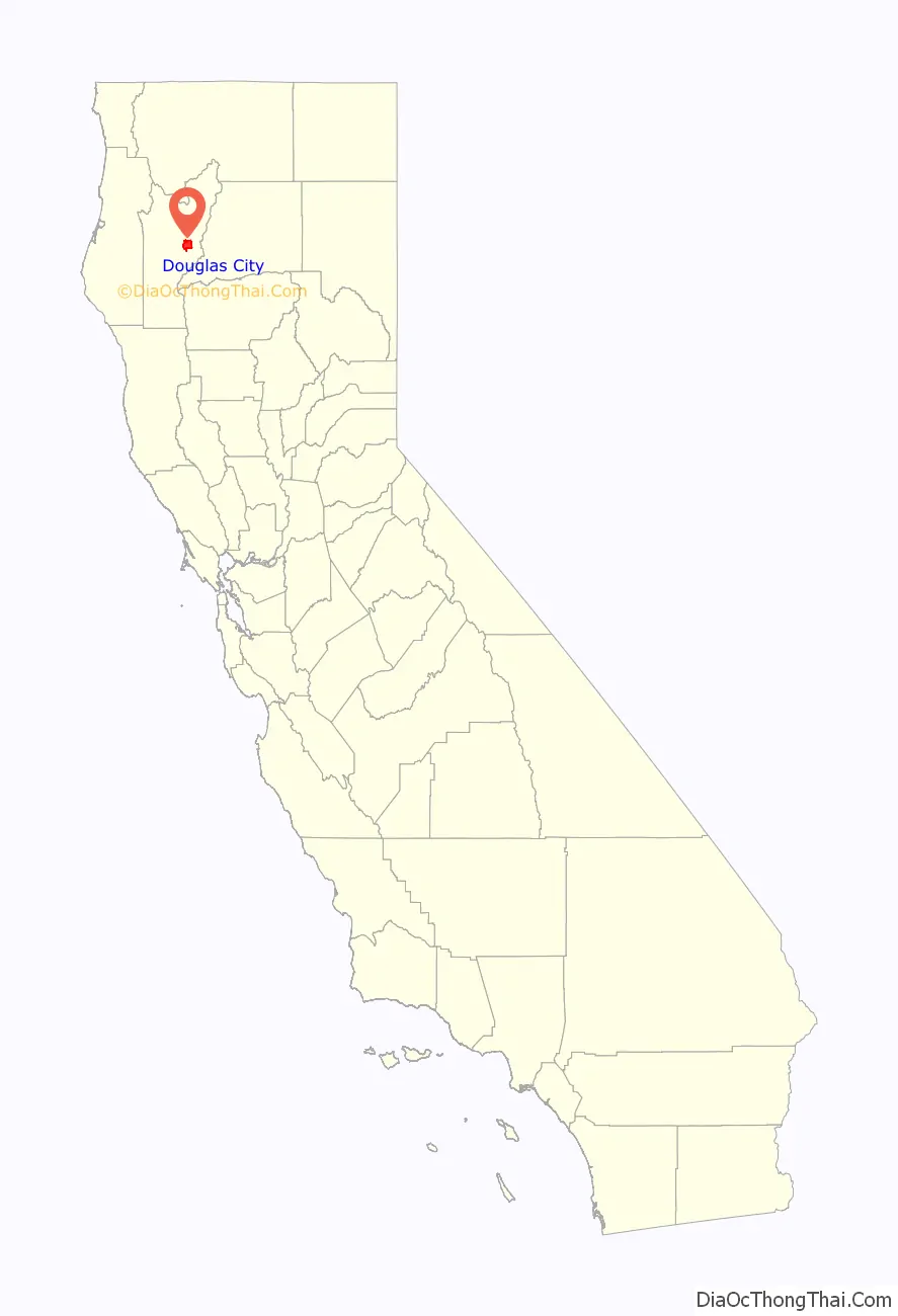
Douglas City location map. Where is Douglas City CDP?
History
The prehistoric residents of the area were Wintun people; from North Fork to Douglas City the group was called Tien-Tien which means “friends”. The Karuk called the same people the Kashahara. Local people suffered loss of population beginning with the epidemic of 1842. The explorer Jedediah Smith and his party came through the Hayfork area in 1828, killing several local people to intimidate the others and permit their passage. The Tien-Tien population was further reduced during the gold rush along the Trinity River.
In 1848, Pierson B. Reading found gold along the Trinity; the bar he worked is at Reading’s Creek just south of the Douglas City bridge. Reading took out over $80,000 dollars of gold on his first trip. Douglas Bar was active before 1856. Settlers arrived quickly, workings began on other bars in the area and towns formed at places along the trails for housing and supply. In just two years, every bar along the Trinity and its tributary streams was being worked and agriculture had started in some of the valleys.
Douglas City was settled by Europeans and Americans around 1850 as a mining and supply town.
The Natural Bridge (associated more with Hayfork than Douglas City) was the site of the Bridge Gulch Massacre in March 1852. Trinity Sheriff William H. Dixon and a number of men set out to catch the individuals (thought to be Wintu Indians) who killed a well-liked local butcher by the name of J. R. Anderson. There should be a note of sarcasm that most white men who died by the hands of Native Americans were “well-liked” or “well-known”. The posse never found the assailants of Anderson, but after two days of tracking, did find another (and much larger camp) of Wintu Indians at the natural bridge. They attacked in the early morning hours and killed nearly every man, woman, and child. Accounts vary, but the numbers usually trend toward 150 killed with one to three children surviving.
The streams and hillsides of the area suffered during the Great Flood of 1862. Gold panning and hydraulic mining continued. By 1864, the river bars around Douglas City had produced over $1,000,000 of gold, an enormous sum in 1864 dollars. The first Post Office in Douglas City started in 1867.
Until 1857 all transport to and from Douglas City was by foot, mule or horse. When a private road was built through the area, four-horse stagecoaches ran from Weaverville through Douglas City to Redding Creek, Brown’s Creek and Hayfork Valley. In 1863 locals formed the Douglas City Rifles to combat the Wintun; none of their raids caused bloodshed. In 1859, Theodore Eldon Jones (later the first Trinity County Superior Court Judge) started the short-lived Douglas City Gazette newspaper. Renamed Trinity Gazette, it stopped publishing in 1861 as people left the area for the American Civil War and new gold diggings in Idaho.
The Douglas City Library was founded on September 27, 1916 by Maude Marshall who maintained it in her home for both the public and students at the Douglas City school district.
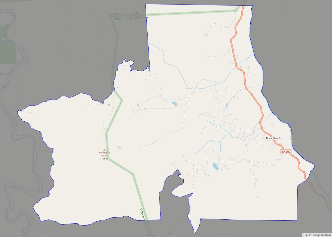
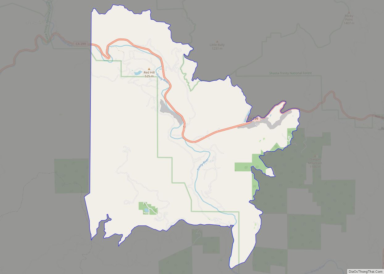
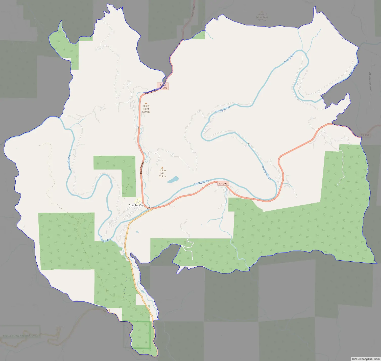
Douglas City Road Map
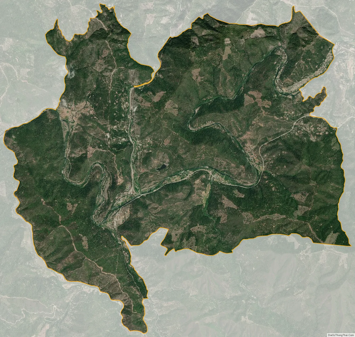
Douglas City city Satellite Map
Geography
Nearby towns and cities include Big Bar, French Gulch, Igo, Junction City, Lewiston, Redding, Weaverville, and Whiskeytown.
According to the United States Census Bureau, the CDP covers an area of 25.1 square miles (65 km), 99.95% of it land and 0.05% of it water.
Pleistocene deposits near Douglas City have Mammoth, Ground sloth and deer fossil bones.
Climate
This region experiences warm (but not hot) and dry summers, with no average monthly temperatures above 71.6 °F. According to the Köppen Climate Classification system, Douglas City has a warm-summer Mediterranean climate, abbreviated “Csb” on climate maps.
See also
Map of California State and its subdivision:- Alameda
- Alpine
- Amador
- Butte
- Calaveras
- Colusa
- Contra Costa
- Del Norte
- El Dorado
- Fresno
- Glenn
- Humboldt
- Imperial
- Inyo
- Kern
- Kings
- Lake
- Lassen
- Los Angeles
- Madera
- Marin
- Mariposa
- Mendocino
- Merced
- Modoc
- Mono
- Monterey
- Napa
- Nevada
- Orange
- Placer
- Plumas
- Riverside
- Sacramento
- San Benito
- San Bernardino
- San Diego
- San Francisco
- San Joaquin
- San Luis Obispo
- San Mateo
- Santa Barbara
- Santa Clara
- Santa Cruz
- Shasta
- Sierra
- Siskiyou
- Solano
- Sonoma
- Stanislaus
- Sutter
- Tehama
- Trinity
- Tulare
- Tuolumne
- Ventura
- Yolo
- Yuba
- Alabama
- Alaska
- Arizona
- Arkansas
- California
- Colorado
- Connecticut
- Delaware
- District of Columbia
- Florida
- Georgia
- Hawaii
- Idaho
- Illinois
- Indiana
- Iowa
- Kansas
- Kentucky
- Louisiana
- Maine
- Maryland
- Massachusetts
- Michigan
- Minnesota
- Mississippi
- Missouri
- Montana
- Nebraska
- Nevada
- New Hampshire
- New Jersey
- New Mexico
- New York
- North Carolina
- North Dakota
- Ohio
- Oklahoma
- Oregon
- Pennsylvania
- Rhode Island
- South Carolina
- South Dakota
- Tennessee
- Texas
- Utah
- Vermont
- Virginia
- Washington
- West Virginia
- Wisconsin
- Wyoming