East Oakdale is an unincorporated census-designated place (CDP) on the Stanislaus River, located east of the city of Oakdale in Stanislaus County, California.
It is part of the Modesto Metropolitan Statistical Area in the San Joaquin Valley. The population was 2,762 at the 2010 census.
| Name: | East Oakdale CDP |
|---|---|
| LSAD Code: | 57 |
| LSAD Description: | CDP (suffix) |
| State: | California |
| County: | Stanislaus County |
| Elevation: | 144 ft (44 m) |
| Total Area: | 5.54 sq mi (14.35 km²) |
| Land Area: | 5.39 sq mi (13.97 km²) |
| Water Area: | 0.15 sq mi (0.39 km²) 8.49% |
| Total Population: | 3,201 |
| Population Density: | 593.55/sq mi (229.18/km²) |
| ZIP code: | 95361 |
| Area code: | 209 |
| FIPS code: | 0620907 |
| GNISfeature ID: | 1853386 |
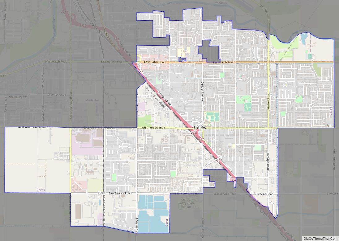
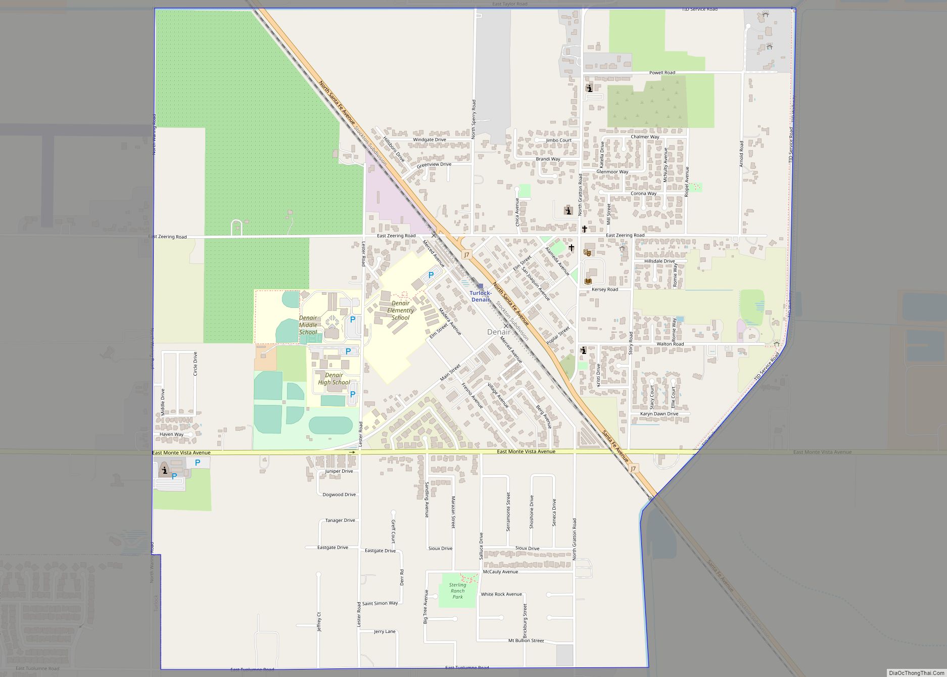
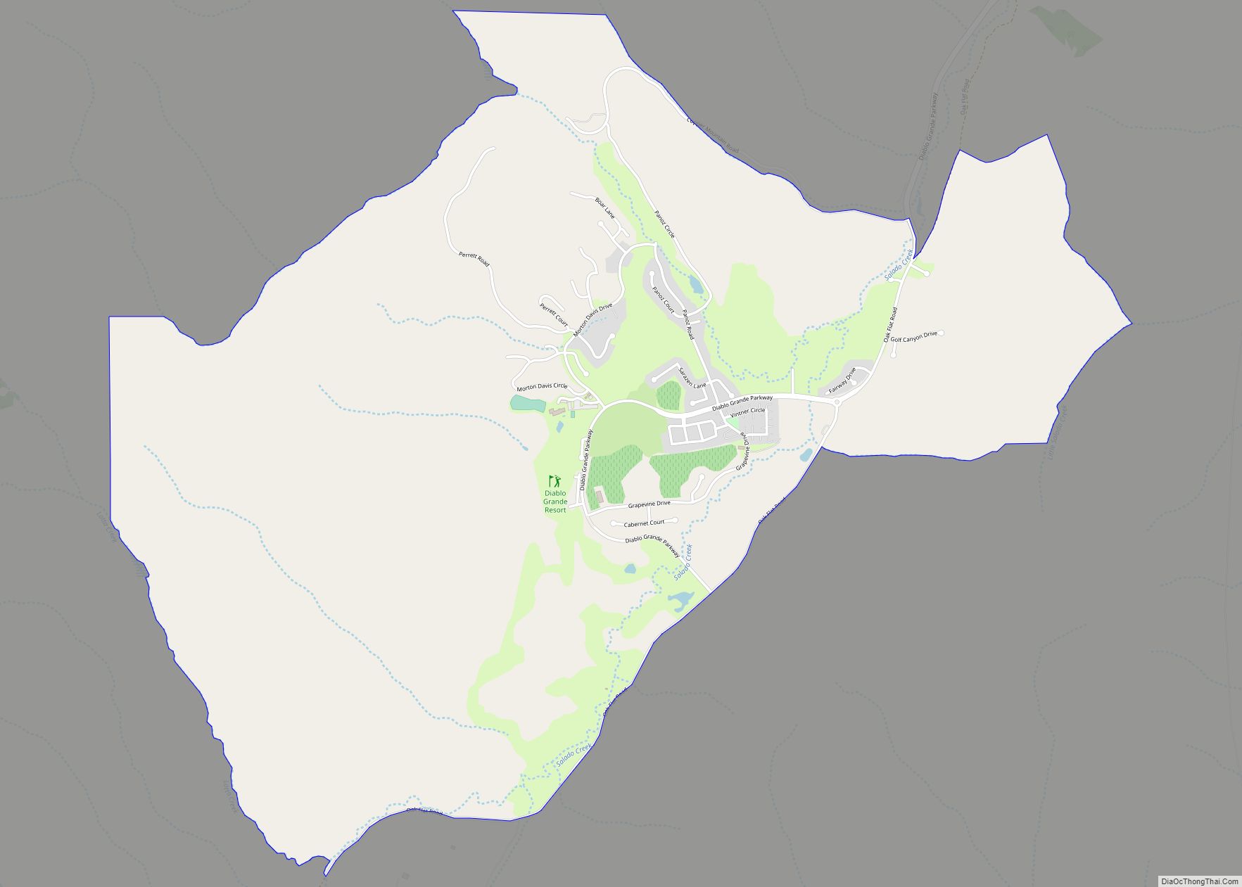
Online Interactive Map
Click on ![]() to view map in "full screen" mode.
to view map in "full screen" mode.
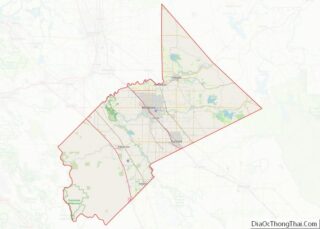
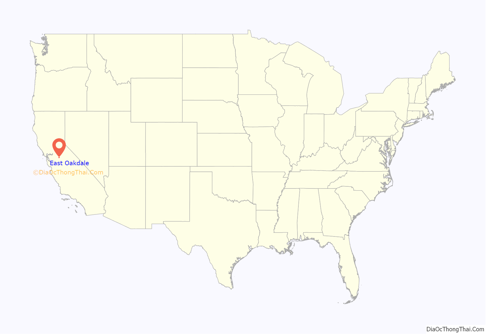
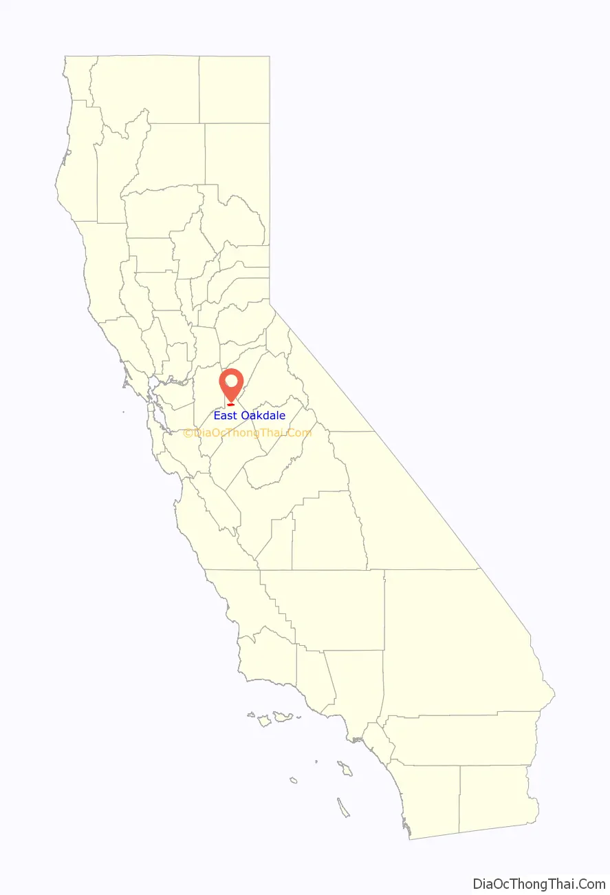
East Oakdale location map. Where is East Oakdale CDP?
History
There were three ferries crossing the Stanislaus River on the 19th−century Stockton – Los Angeles Road. The site of the easternmost crossing, Heath & Emory’s Ferry, is in present-day East Oakdale. The second, Taylor’s Ferry Crossing, was located in the present day city of Oakdale. The third, Islips Ferry, was further down river in present-day Langworth.
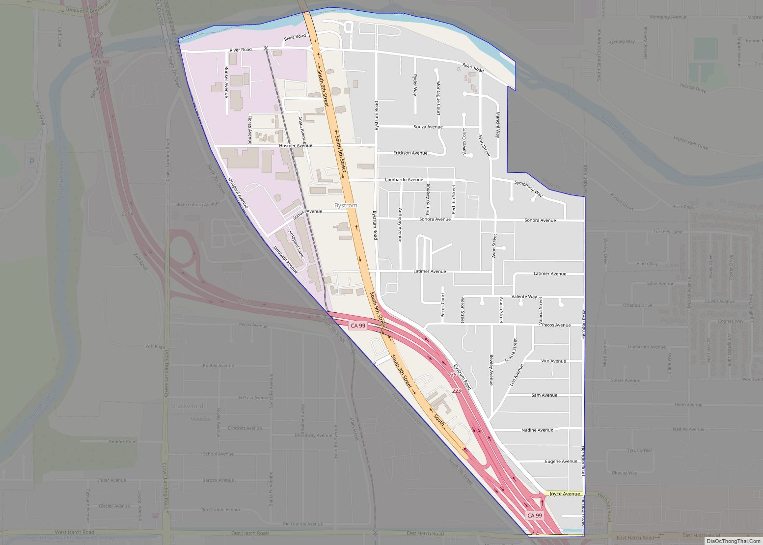
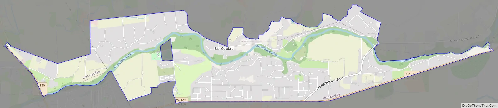
East Oakdale Road Map
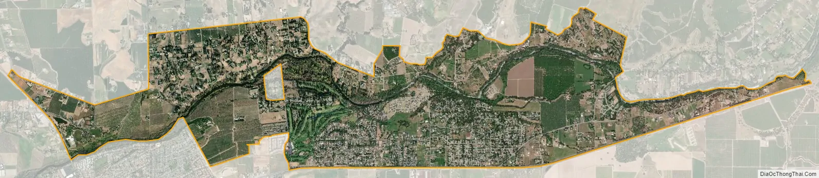
East Oakdale city Satellite Map
Geography
East Oakdale is located at 37°47′37″N 120°48′24″W / 37.79361°N 120.80667°W / 37.79361; -120.80667 (37.793528, -120.806669).
According to the United States Census Bureau, the CDP has a total area of 5.2 square miles (13 km), of which, 4.7 square miles (12 km) of it is land and 0.4 square miles (1.0 km) of it (8.49%) is water.
See also
Map of California State and its subdivision:- Alameda
- Alpine
- Amador
- Butte
- Calaveras
- Colusa
- Contra Costa
- Del Norte
- El Dorado
- Fresno
- Glenn
- Humboldt
- Imperial
- Inyo
- Kern
- Kings
- Lake
- Lassen
- Los Angeles
- Madera
- Marin
- Mariposa
- Mendocino
- Merced
- Modoc
- Mono
- Monterey
- Napa
- Nevada
- Orange
- Placer
- Plumas
- Riverside
- Sacramento
- San Benito
- San Bernardino
- San Diego
- San Francisco
- San Joaquin
- San Luis Obispo
- San Mateo
- Santa Barbara
- Santa Clara
- Santa Cruz
- Shasta
- Sierra
- Siskiyou
- Solano
- Sonoma
- Stanislaus
- Sutter
- Tehama
- Trinity
- Tulare
- Tuolumne
- Ventura
- Yolo
- Yuba
- Alabama
- Alaska
- Arizona
- Arkansas
- California
- Colorado
- Connecticut
- Delaware
- District of Columbia
- Florida
- Georgia
- Hawaii
- Idaho
- Illinois
- Indiana
- Iowa
- Kansas
- Kentucky
- Louisiana
- Maine
- Maryland
- Massachusetts
- Michigan
- Minnesota
- Mississippi
- Missouri
- Montana
- Nebraska
- Nevada
- New Hampshire
- New Jersey
- New Mexico
- New York
- North Carolina
- North Dakota
- Ohio
- Oklahoma
- Oregon
- Pennsylvania
- Rhode Island
- South Carolina
- South Dakota
- Tennessee
- Texas
- Utah
- Vermont
- Virginia
- Washington
- West Virginia
- Wisconsin
- Wyoming