Empire is a census-designated place (CDP) in Stanislaus County, California, United States. The population was 4,189 at the 2010 census, up from 3,903 at the 2000 census. It is part of the Modesto Metropolitan Statistical Area. Influenced by the Mexican culture, Empire is agriculturally active, and is home to the new Empire Community Park.
| Name: | Empire CDP |
|---|---|
| LSAD Code: | 57 |
| LSAD Description: | CDP (suffix) |
| State: | California |
| County: | Stanislaus County |
| Elevation: | 118 ft (36 m) |
| Total Area: | 1.563 sq mi (4.049 km²) |
| Land Area: | 1.563 sq mi (4.049 km²) |
| Water Area: | 0 sq mi (0 km²) 0% |
| Total Population: | 4,202 |
| Population Density: | 2,700/sq mi (1,000/km²) |
| ZIP code: | 95319 |
| Area code: | 209 |
| FIPS code: | 0622622 |
| GNISfeature ID: | 1658501 |
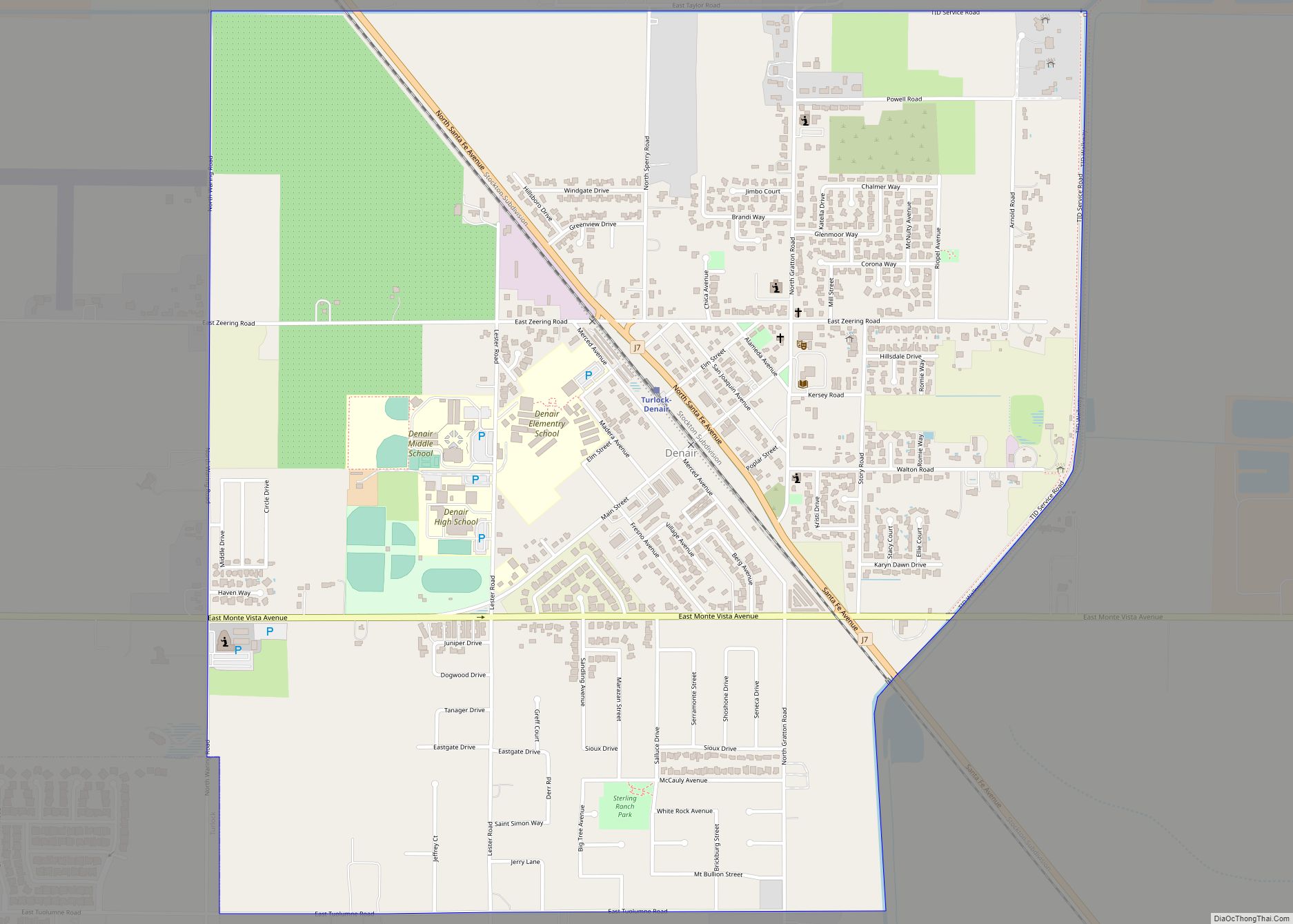
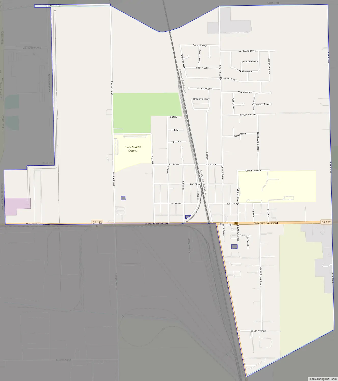
Online Interactive Map
Click on ![]() to view map in "full screen" mode.
to view map in "full screen" mode.
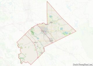
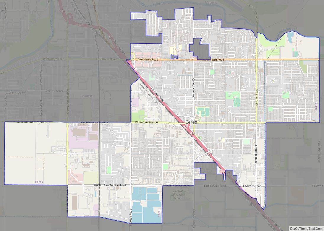
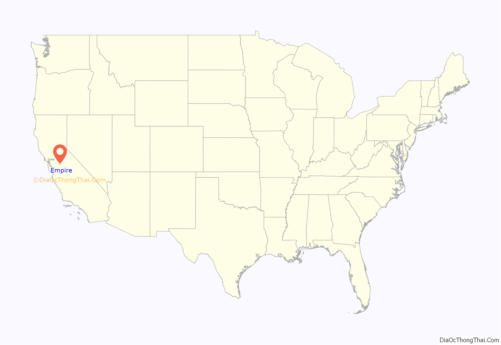
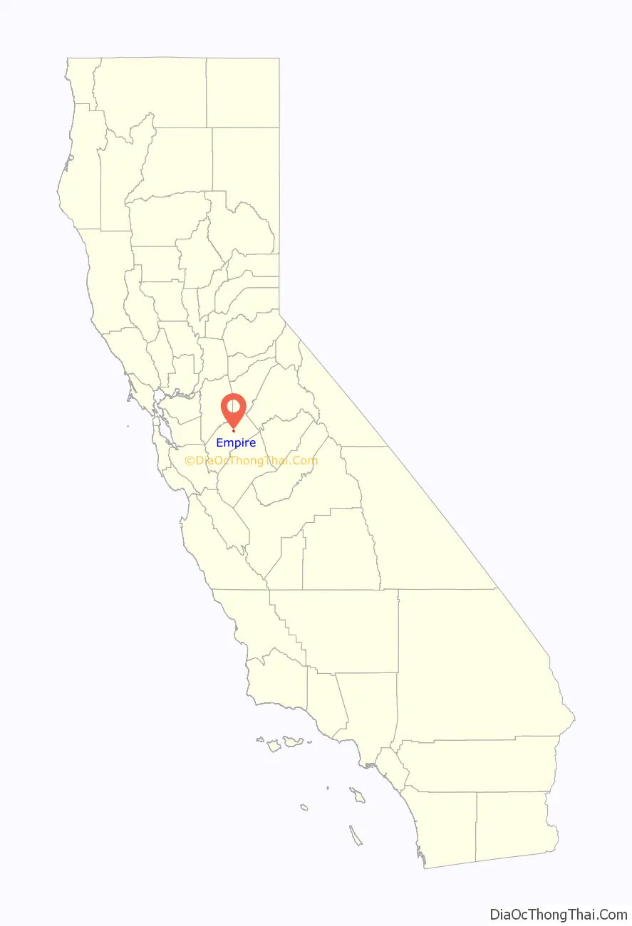
Empire location map. Where is Empire CDP?
History
In 1854, the town of Empire City was founded on the south bank of the Tuolumne River, one mile south of present-day Empire. It was reputedly named after New York City, the “Empire City”. However, some sources indicate that the town was founded as early as 1850. The town shows on the 1852 Gibbes map as Empire. It is alleged to have been almost destroyed and deserted twice, in 1852 and 1855. The town served as the head of navigation for steamboats on the Tuolumne River. Empire City became the county seat of Stanislaus County, and was flooded in the Great Flood of 1862. In 1896, the town relocated one mile north of the river, and was renamed Empire for the Santa Fe Railroad. (Part of the San Francisco and San Joaquin Valley Railroad line which the Santa Fe acquired in 1898.)
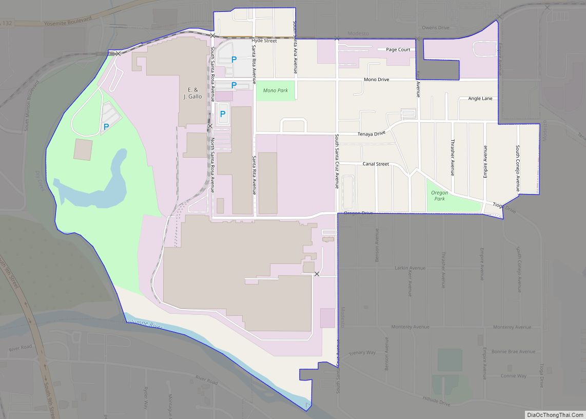
Empire Road Map
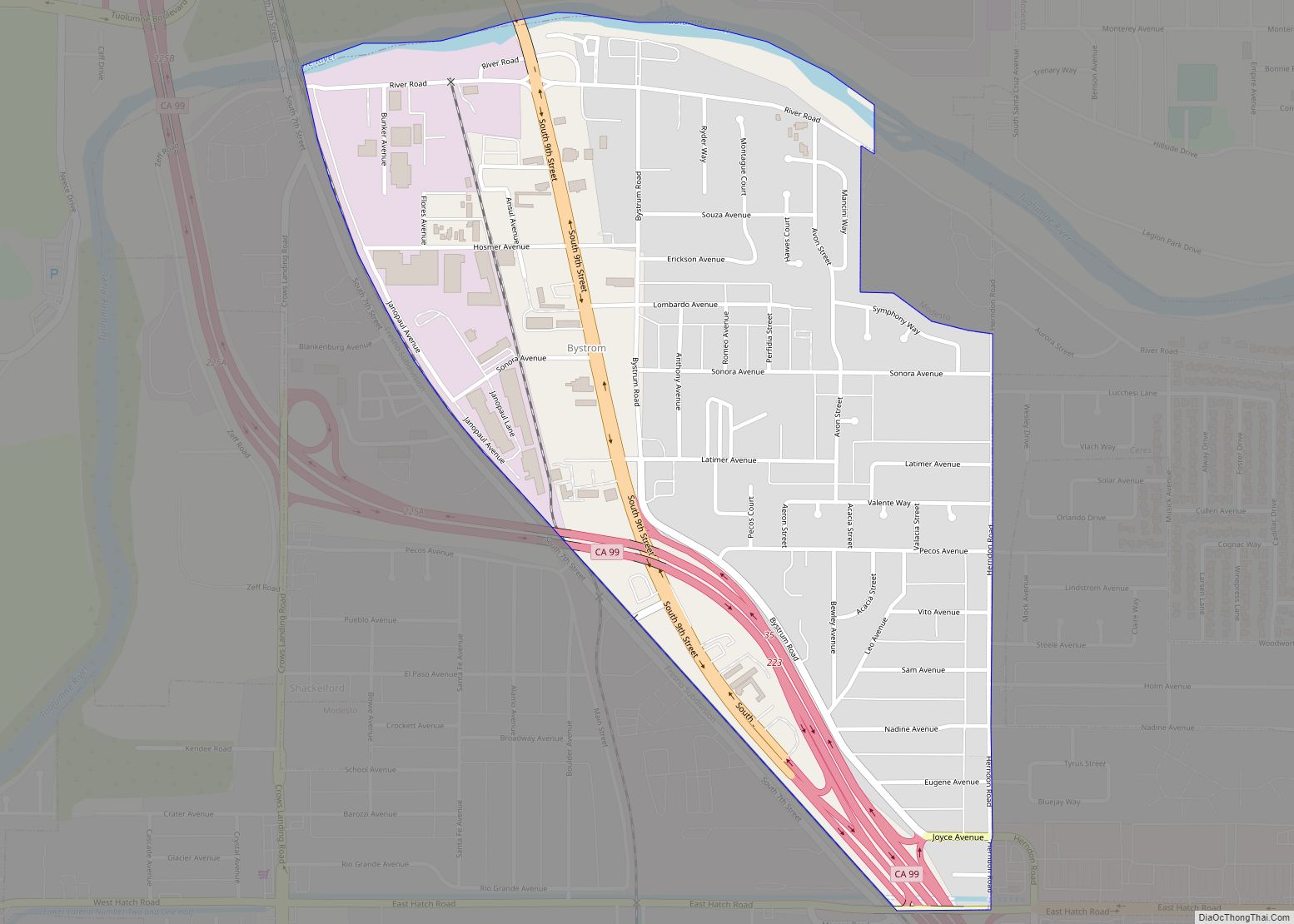
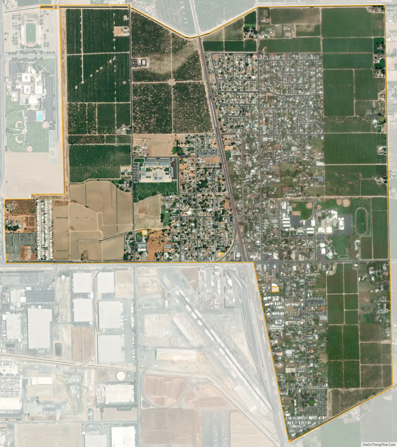
Empire city Satellite Map
Geography
Empire is located at 37°38′39″N 120°54′27″W / 37.64417°N 120.90750°W / 37.64417; -120.90750 (37.644298, -120.907592).
According to the United States Census Bureau, the CDP has a total area of 1.6 square miles (4.1 km), all of it land.
Climate
According to the Köppen climate classification system, Empire has a warm-summer Mediterranean climate, Csa on climate maps.
See also
Map of California State and its subdivision:- Alameda
- Alpine
- Amador
- Butte
- Calaveras
- Colusa
- Contra Costa
- Del Norte
- El Dorado
- Fresno
- Glenn
- Humboldt
- Imperial
- Inyo
- Kern
- Kings
- Lake
- Lassen
- Los Angeles
- Madera
- Marin
- Mariposa
- Mendocino
- Merced
- Modoc
- Mono
- Monterey
- Napa
- Nevada
- Orange
- Placer
- Plumas
- Riverside
- Sacramento
- San Benito
- San Bernardino
- San Diego
- San Francisco
- San Joaquin
- San Luis Obispo
- San Mateo
- Santa Barbara
- Santa Clara
- Santa Cruz
- Shasta
- Sierra
- Siskiyou
- Solano
- Sonoma
- Stanislaus
- Sutter
- Tehama
- Trinity
- Tulare
- Tuolumne
- Ventura
- Yolo
- Yuba
- Alabama
- Alaska
- Arizona
- Arkansas
- California
- Colorado
- Connecticut
- Delaware
- District of Columbia
- Florida
- Georgia
- Hawaii
- Idaho
- Illinois
- Indiana
- Iowa
- Kansas
- Kentucky
- Louisiana
- Maine
- Maryland
- Massachusetts
- Michigan
- Minnesota
- Mississippi
- Missouri
- Montana
- Nebraska
- Nevada
- New Hampshire
- New Jersey
- New Mexico
- New York
- North Carolina
- North Dakota
- Ohio
- Oklahoma
- Oregon
- Pennsylvania
- Rhode Island
- South Carolina
- South Dakota
- Tennessee
- Texas
- Utah
- Vermont
- Virginia
- Washington
- West Virginia
- Wisconsin
- Wyoming