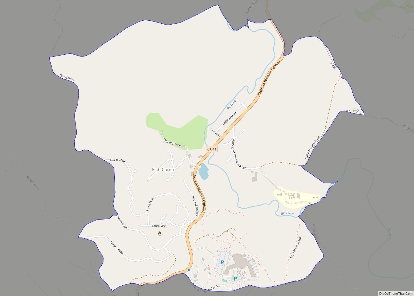
Fish Camp (formerly Happy Camp and Berry’s Fish Camp) is a census-designated place in Mariposa County, California, United States. It is located 18 miles (29 km) east of Mariposa, at an elevation of 5,062 feet (1,543 m). The population was 49 at the 2020 census. The ZIP Code is 93623, and the community is inside area code 559.
The Fish Camp post office opened in 1924, closed in 1933, and re-opened in 1939. The name comes from a fish hatchery at the place.
| Name: | Fish Camp CDP |
|---|---|
| LSAD Code: | 57 |
| LSAD Description: | CDP (suffix) |
| State: | California |
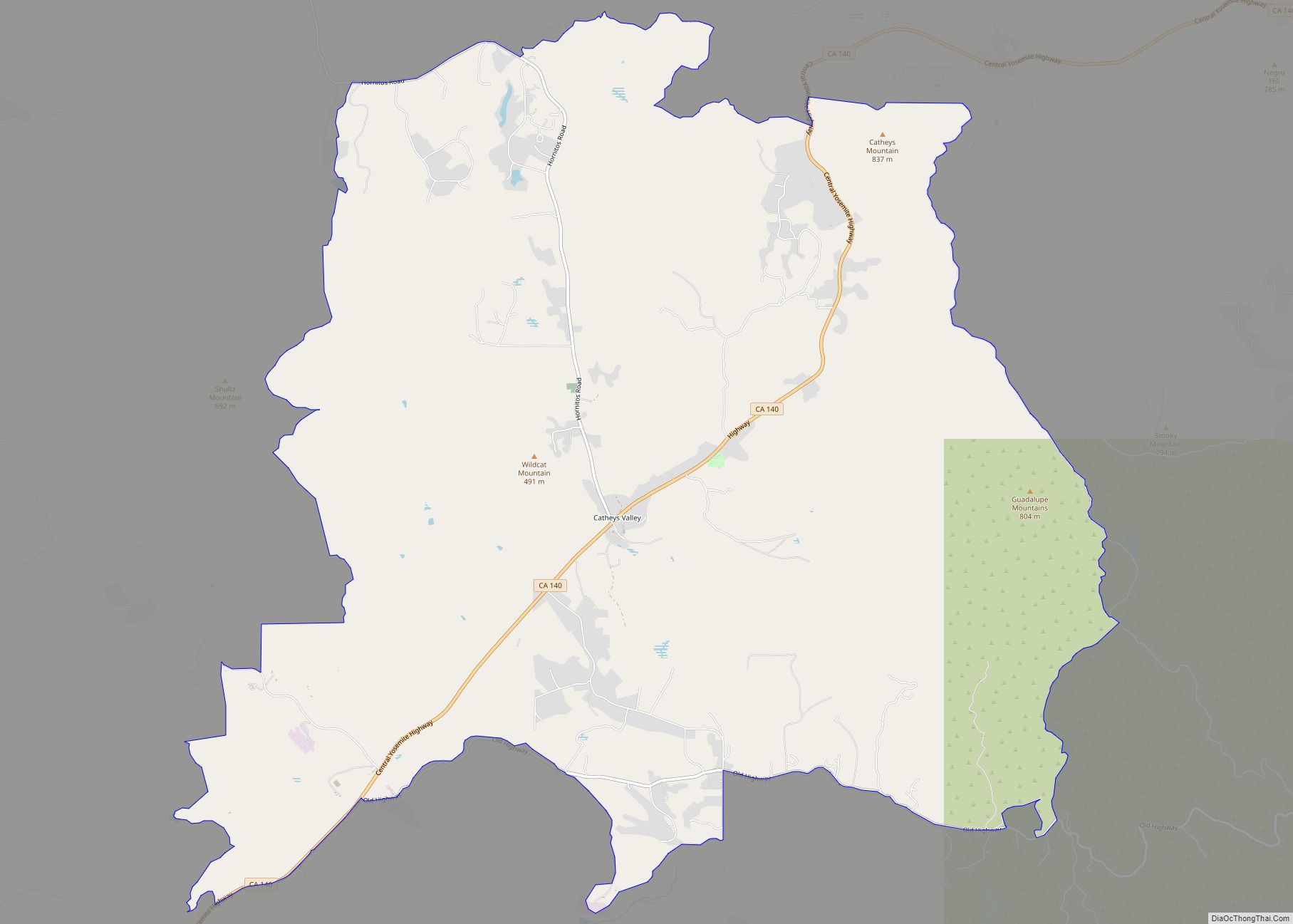
| County: | Mariposa County |
| Elevation: | 5,062 ft (1,543 m) |
| Total Area: | 0.402 sq mi (1.04 km²) |
| Land Area: | 0.400 sq mi (1.04 km²) |
| Water Area: | 0.002 sq mi (0.005 km²) 0.50% |
| Total Population: | 49 |
| Population Density: | 122.5/sq mi (47.3/km²) |
| ZIP code: | 93623 |
| FIPS code: | 0624218 |
Online Interactive Map
Click on ![]() to view map in "full screen" mode.
to view map in "full screen" mode.
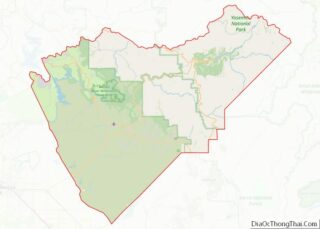
Fish Camp location map. Where is Fish Camp CDP?
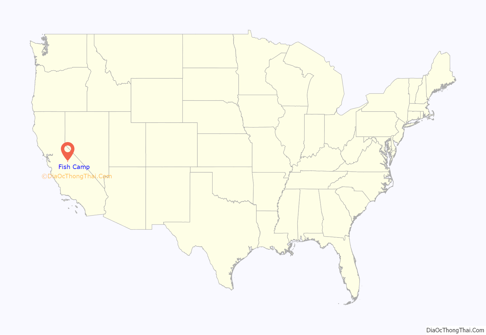
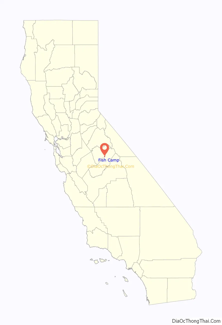
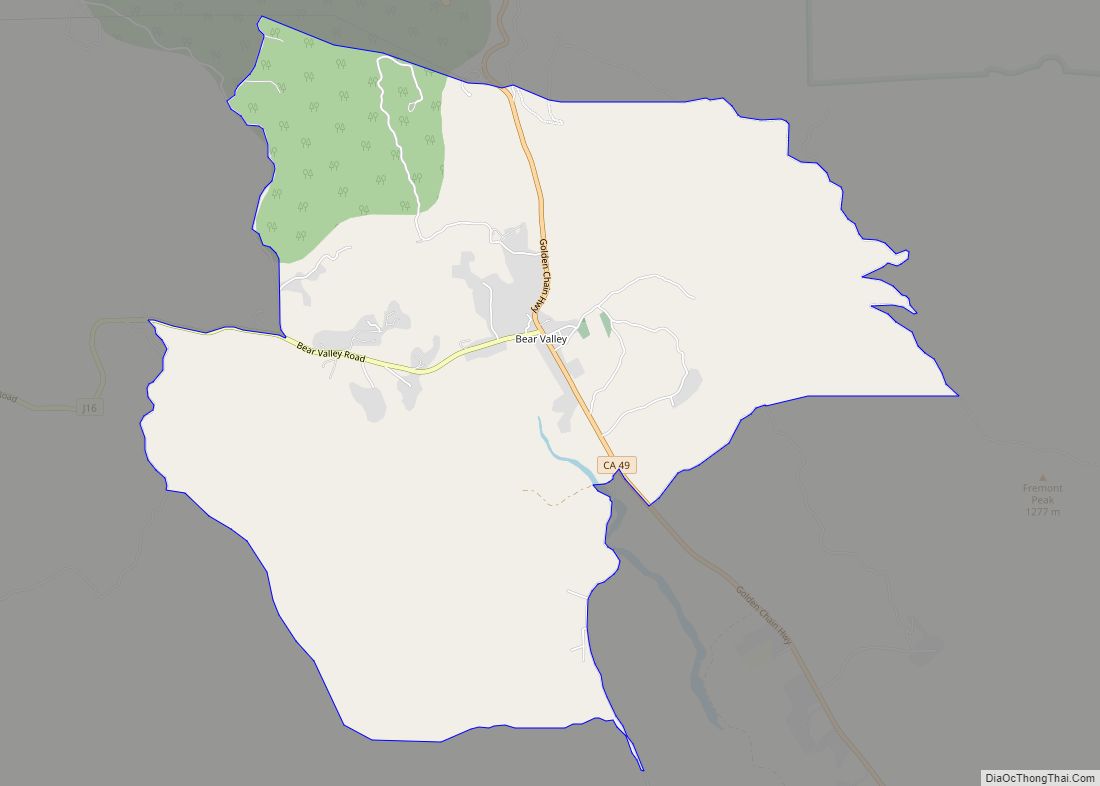
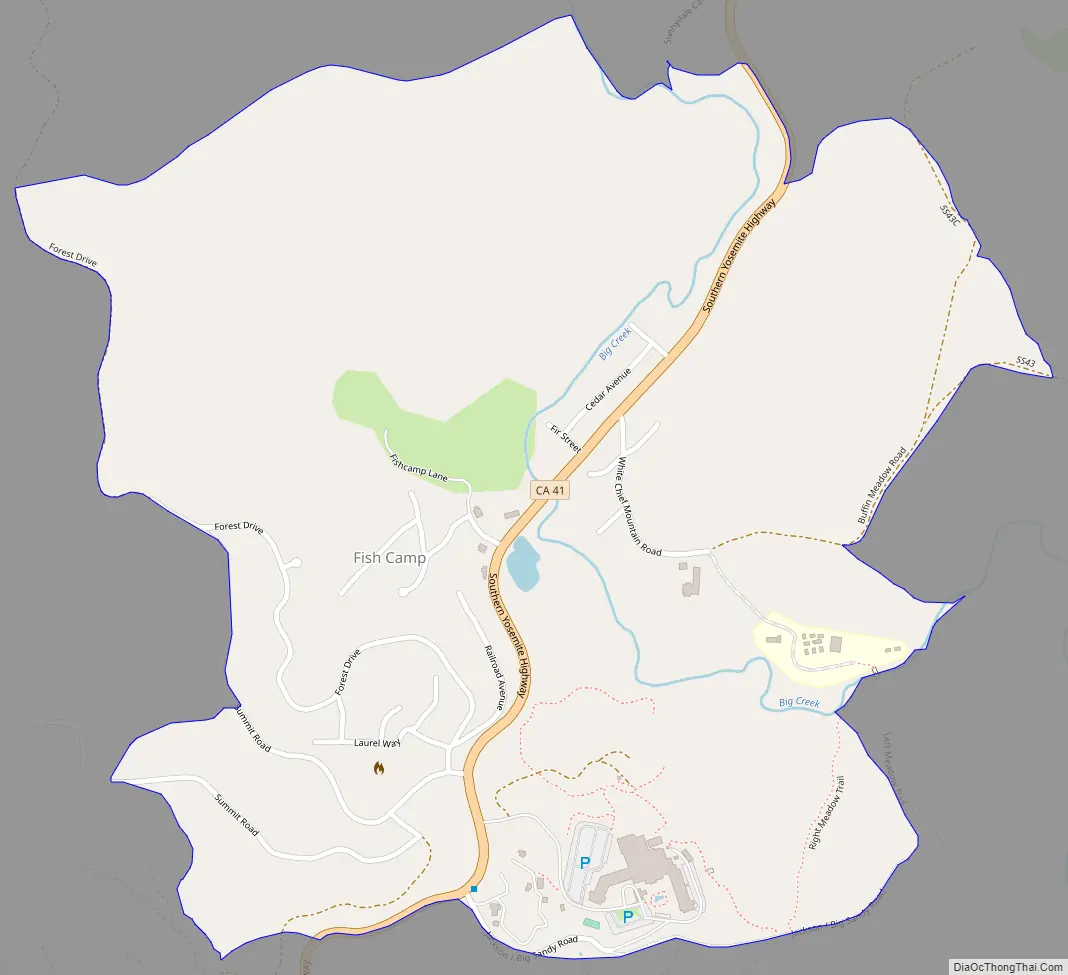
Fish Camp Road Map
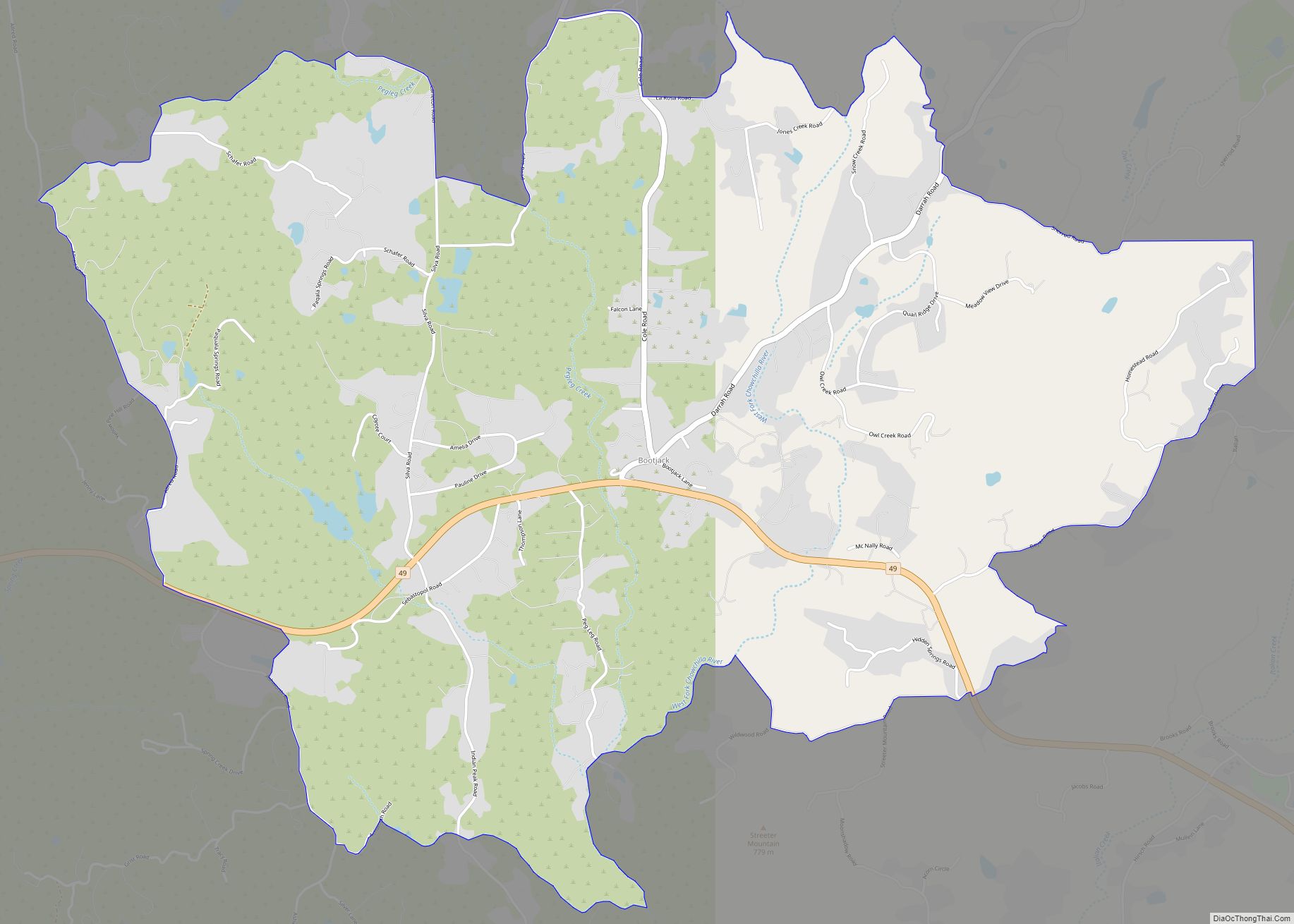
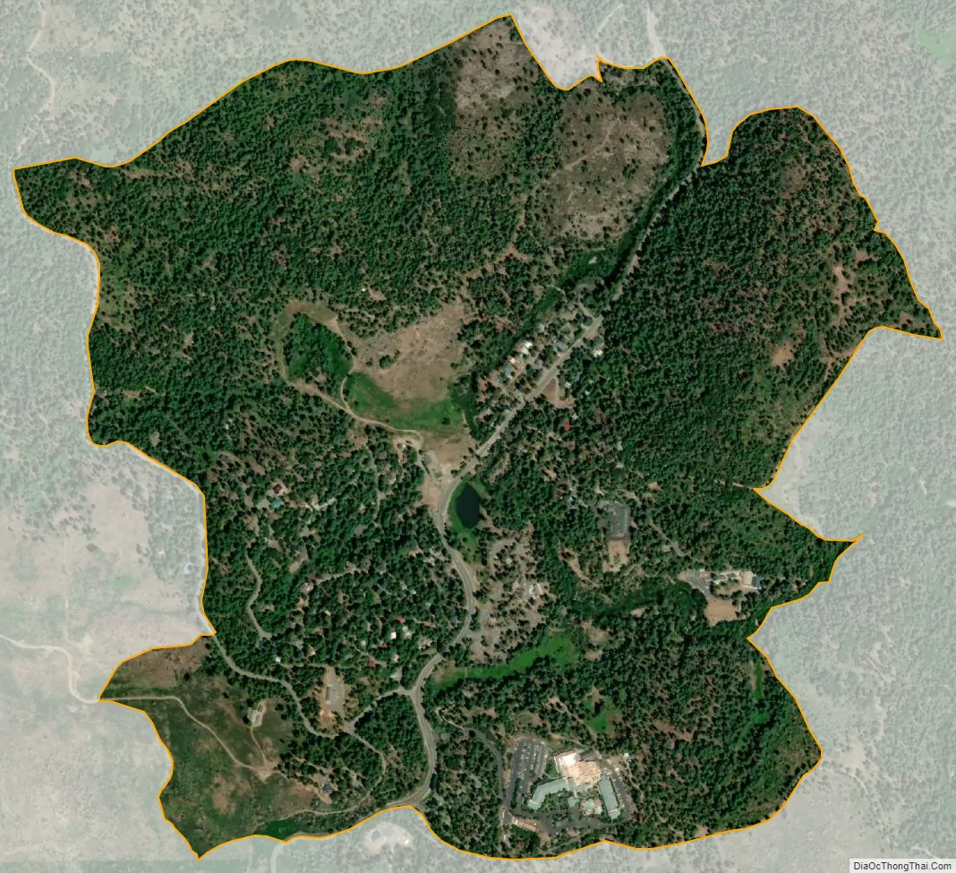
Fish Camp city Satellite Map
Geography
Fish Camp is on California State Route 41, just south of the entrance to Yosemite National Park, and 12 miles (19 km) north of Oakhurst. It is the site of the Yosemite Mountain Sugar Pine Railroad, a heritage tourist line, and Tenaya Lodge, a resort owned by Delaware North. About 1 mile north of the community is the Summerdale campground, the original location of Fish Camp.
According to the United States Census Bureau, the CDP covers an area of 0.4 square miles (1.0 km), of which 0.002 square miles (0.005 km), or 0.50%, are water. The community is in the valley of Big Creek, which flows north into Yosemite National Park, where it joins the South Fork of the Merced River near Wawona.
Climate
This region experiences warm (but not hot) and dry summers, with no average monthly temperatures above 71.6 °F (22.0 °C). According to the Köppen Climate Classification system, Fish Camp has a warm-summer Mediterranean climate, abbreviated “Csb” on climate maps.
See also
Map of California State and its subdivision:- Alameda
- Alpine
- Amador
- Butte
- Calaveras
- Colusa
- Contra Costa
- Del Norte
- El Dorado
- Fresno
- Glenn
- Humboldt
- Imperial
- Inyo
- Kern
- Kings
- Lake
- Lassen
- Los Angeles
- Madera
- Marin
- Mariposa
- Mendocino
- Merced
- Modoc
- Mono
- Monterey
- Napa
- Nevada
- Orange
- Placer
- Plumas
- Riverside
- Sacramento
- San Benito
- San Bernardino
- San Diego
- San Francisco
- San Joaquin
- San Luis Obispo
- San Mateo
- Santa Barbara
- Santa Clara
- Santa Cruz
- Shasta
- Sierra
- Siskiyou
- Solano
- Sonoma
- Stanislaus
- Sutter
- Tehama
- Trinity
- Tulare
- Tuolumne
- Ventura
- Yolo
- Yuba
- Alabama
- Alaska
- Arizona
- Arkansas
- California
- Colorado
- Connecticut
- Delaware
- District of Columbia
- Florida
- Georgia
- Hawaii
- Idaho
- Illinois
- Indiana
- Iowa
- Kansas
- Kentucky
- Louisiana
- Maine
- Maryland
- Massachusetts
- Michigan
- Minnesota
- Mississippi
- Missouri
- Montana
- Nebraska
- Nevada
- New Hampshire
- New Jersey
- New Mexico
- New York
- North Carolina
- North Dakota
- Ohio
- Oklahoma
- Oregon
- Pennsylvania
- Rhode Island
- South Carolina
- South Dakota
- Tennessee
- Texas
- Utah
- Vermont
- Virginia
- Washington
- West Virginia
- Wisconsin
- Wyoming