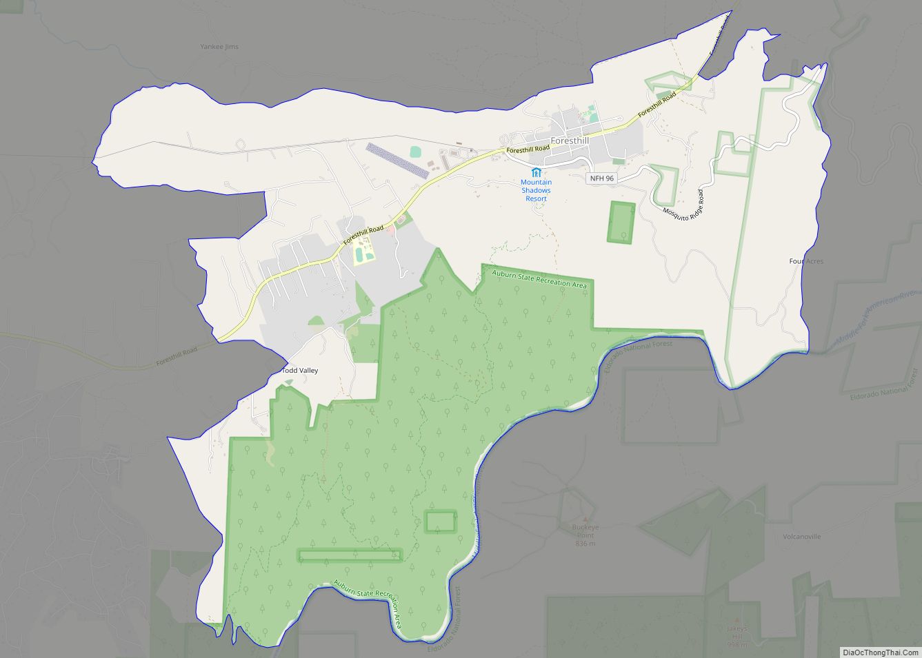
Foresthill is a census-designated place (CDP) in Placer County, California, United States. It is part of the Sacramento–Arden-Arcade–Roseville Metropolitan Statistical Area. The population was 1,483 at the 2010 census, down from 1,791 at the 2000 census.
| Name: | Foresthill CDP |
|---|---|
| LSAD Code: | 57 |
| LSAD Description: | CDP (suffix) |
| State: | California |
| County: | Placer County |
| Elevation: | 3,228 ft (984 m) |
| Total Area: | 11.188 sq mi (28.977 km²) |
| Land Area: | 11.188 sq mi (28.977 km²) |
| Water Area: | 0 sq mi (0 km²) 0% |
| Total Population: | 1,483 |
| Population Density: | 130/sq mi (51/km²) |
| ZIP code: | 95631 |
| Area code: | 530 |
| FIPS code: | 0624834 |
| GNISfeature ID: | 0277518 |
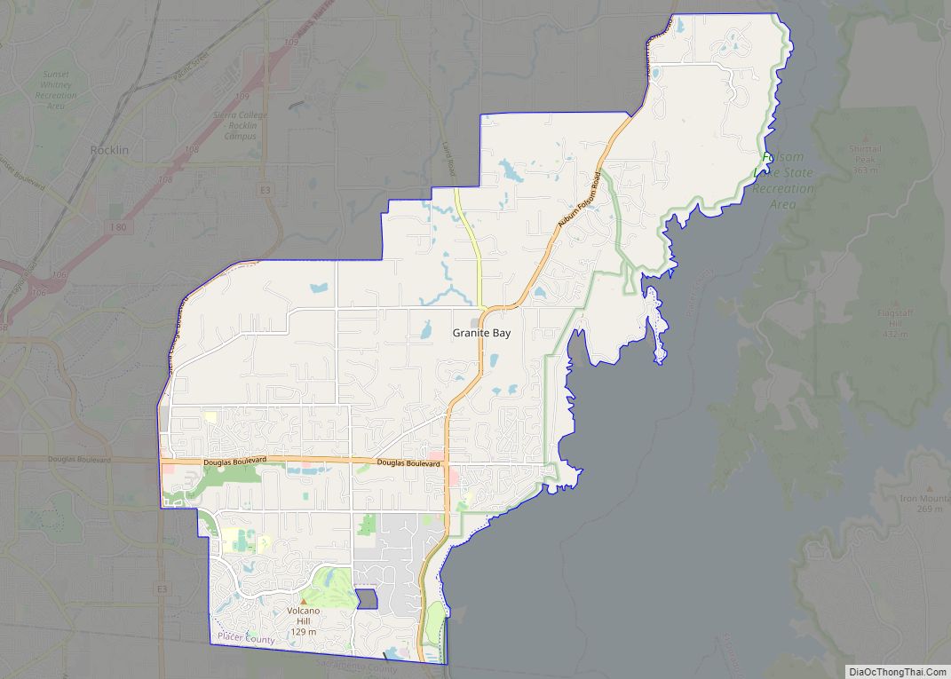
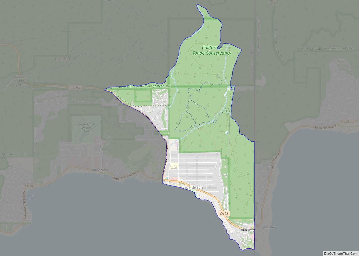
Online Interactive Map
Click on ![]() to view map in "full screen" mode.
to view map in "full screen" mode.
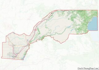
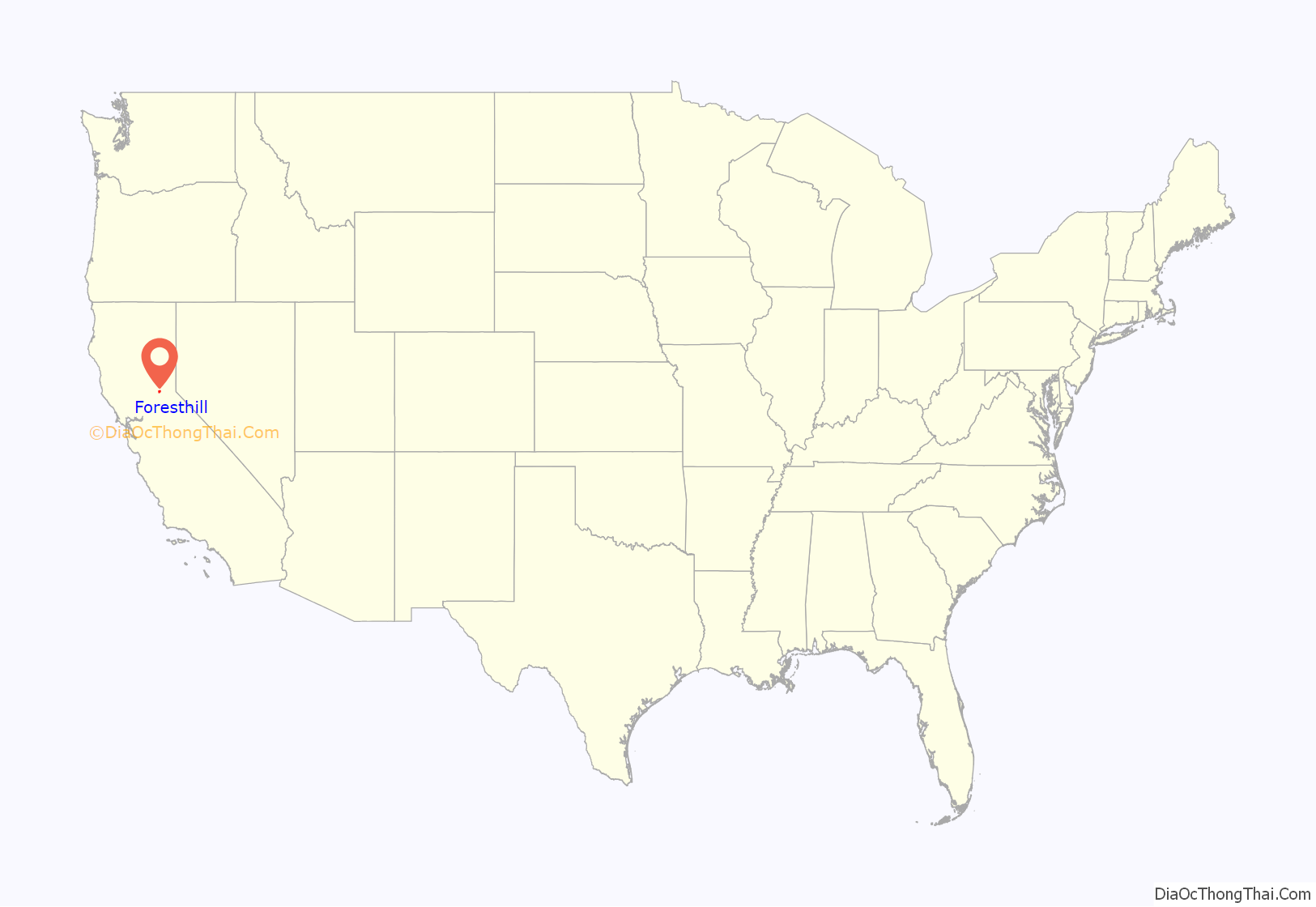
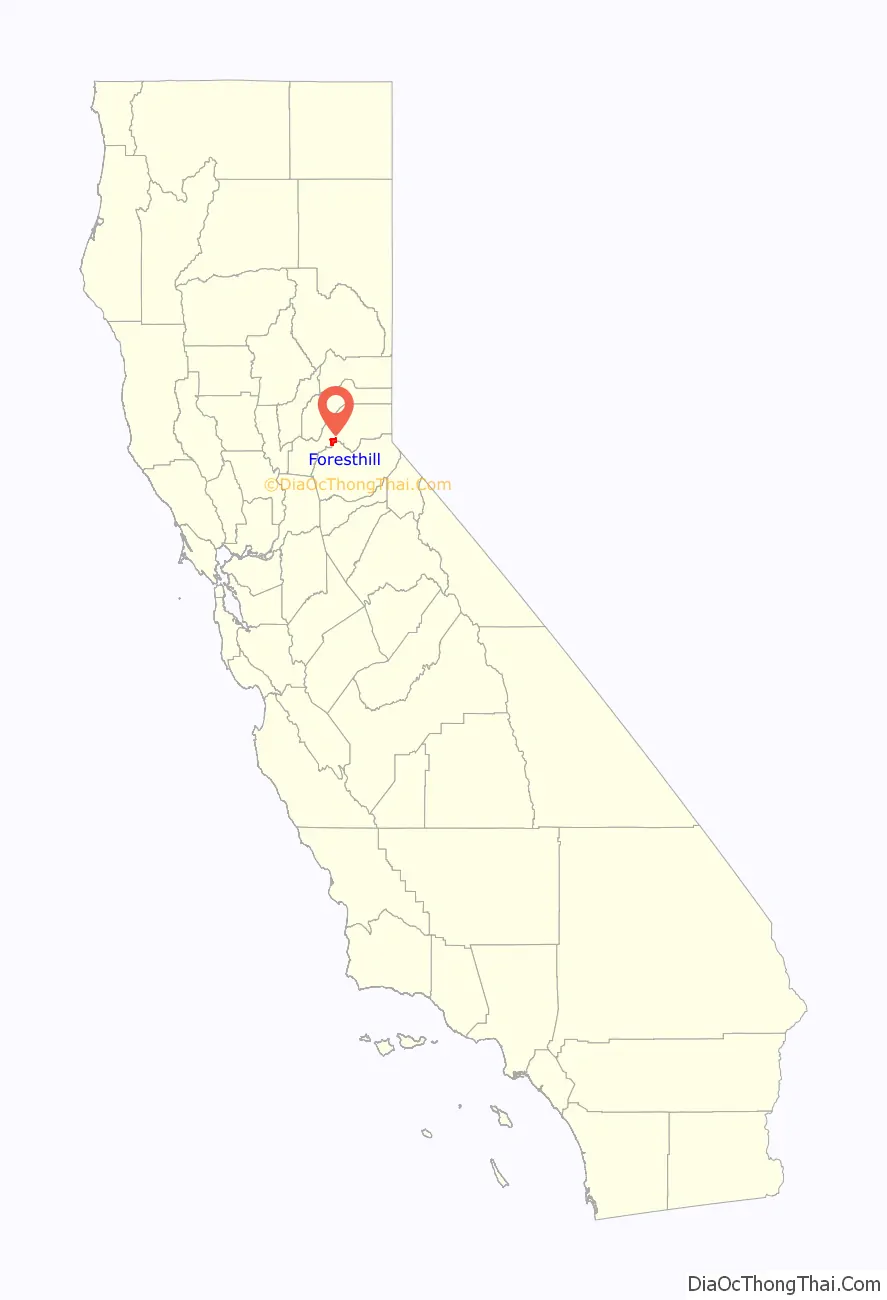
Foresthill location map. Where is Foresthill CDP?
History
Foresthill is located on a broad ridge between the North and Middle Forks of the American River on the gold-bearing gravel bed of an ancient river.
In the spring of 1850, miners came to the Forest Hill Divide in large numbers. There was one route from Auburn through Yankee Jim’s and one from Coloma. At the junction of these trails, the Forest House hotel and trading post was built. The height of mining activity in Foresthill began in 1853 after a winter landslide at the head of Jenny Lind Canyon exposed numerous nuggets of gold. The Jenny Lind mine produced about $2,500 of gold a day for a while, up to a total output over $1 million by 1880. The combined production of all the mines in the Forest Hill area was estimated at $10 million by 1868 with gold selling for $16 an ounce.
In the 1860s, there were about 125,000 feet (38,000 m) of hard-rock tunnels dug into the hillsides in, around and under Foresthill. By 1857, this area had become an important center for trade among the many gold camps on the divide. In 1862, the Hardy-Kennedy building was erected – the first fireproof store in Foresthill. This building, now known as the Langstaff building, is still being used by the merchants of Foresthill.
By 1880, Foresthill was one of the largest towns in Placer County. The town had an 80-foot (24 m) wide main street befitting such an important place. Today the town has a marker identifying it as a California Historical Landmark.
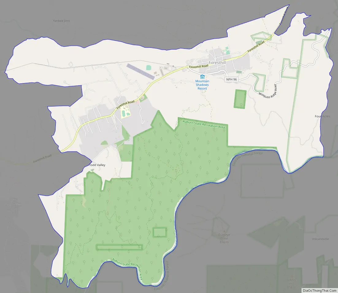
Foresthill Road Map
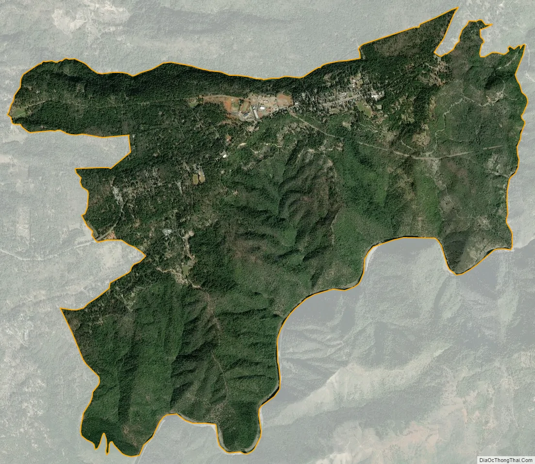
Foresthill city Satellite Map
Geography
According to the United States Census Bureau Foresthill has a total area of 11.2 square miles (29 km), all of it land.
Climate
Foresthill has a hot-summer Mediterranean climate that is characterized by cool, wet winters and hot, dry summers (Köppen climate classification Csa).
Points of Interest
Foresthill Bridge
See also
Map of California State and its subdivision:- Alameda
- Alpine
- Amador
- Butte
- Calaveras
- Colusa
- Contra Costa
- Del Norte
- El Dorado
- Fresno
- Glenn
- Humboldt
- Imperial
- Inyo
- Kern
- Kings
- Lake
- Lassen
- Los Angeles
- Madera
- Marin
- Mariposa
- Mendocino
- Merced
- Modoc
- Mono
- Monterey
- Napa
- Nevada
- Orange
- Placer
- Plumas
- Riverside
- Sacramento
- San Benito
- San Bernardino
- San Diego
- San Francisco
- San Joaquin
- San Luis Obispo
- San Mateo
- Santa Barbara
- Santa Clara
- Santa Cruz
- Shasta
- Sierra
- Siskiyou
- Solano
- Sonoma
- Stanislaus
- Sutter
- Tehama
- Trinity
- Tulare
- Tuolumne
- Ventura
- Yolo
- Yuba
- Alabama
- Alaska
- Arizona
- Arkansas
- California
- Colorado
- Connecticut
- Delaware
- District of Columbia
- Florida
- Georgia
- Hawaii
- Idaho
- Illinois
- Indiana
- Iowa
- Kansas
- Kentucky
- Louisiana
- Maine
- Maryland
- Massachusetts
- Michigan
- Minnesota
- Mississippi
- Missouri
- Montana
- Nebraska
- Nevada
- New Hampshire
- New Jersey
- New Mexico
- New York
- North Carolina
- North Dakota
- Ohio
- Oklahoma
- Oregon
- Pennsylvania
- Rhode Island
- South Carolina
- South Dakota
- Tennessee
- Texas
- Utah
- Vermont
- Virginia
- Washington
- West Virginia
- Wisconsin
- Wyoming