French Gulch is a census-designated place (CDP) in Shasta County, California, United States. Its population is 373 as of the 2020 census, up from 346 from the 2010 census.
| Name: | French Gulch CDP |
|---|---|
| LSAD Code: | 57 |
| LSAD Description: | CDP (suffix) |
| State: | California |
| County: | Shasta County |
| Elevation: | 1,355 ft (425 m) |
| Total Area: | 12.369 sq mi (32.035 km²) |
| Land Area: | 12.332 sq mi (31.940 km²) |
| Water Area: | 0.037 sq mi (0.095 km²) 0.30% |
| Total Population: | 373 |
| Population Density: | 30/sq mi (12/km²) |
| ZIP code: | 96033 |
| Area code: | 530 |
| FIPS code: | 0626056 |
| GNISfeature ID: | 0223907 |
Online Interactive Map
Click on ![]() to view map in "full screen" mode.
to view map in "full screen" mode.
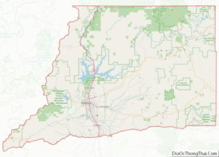
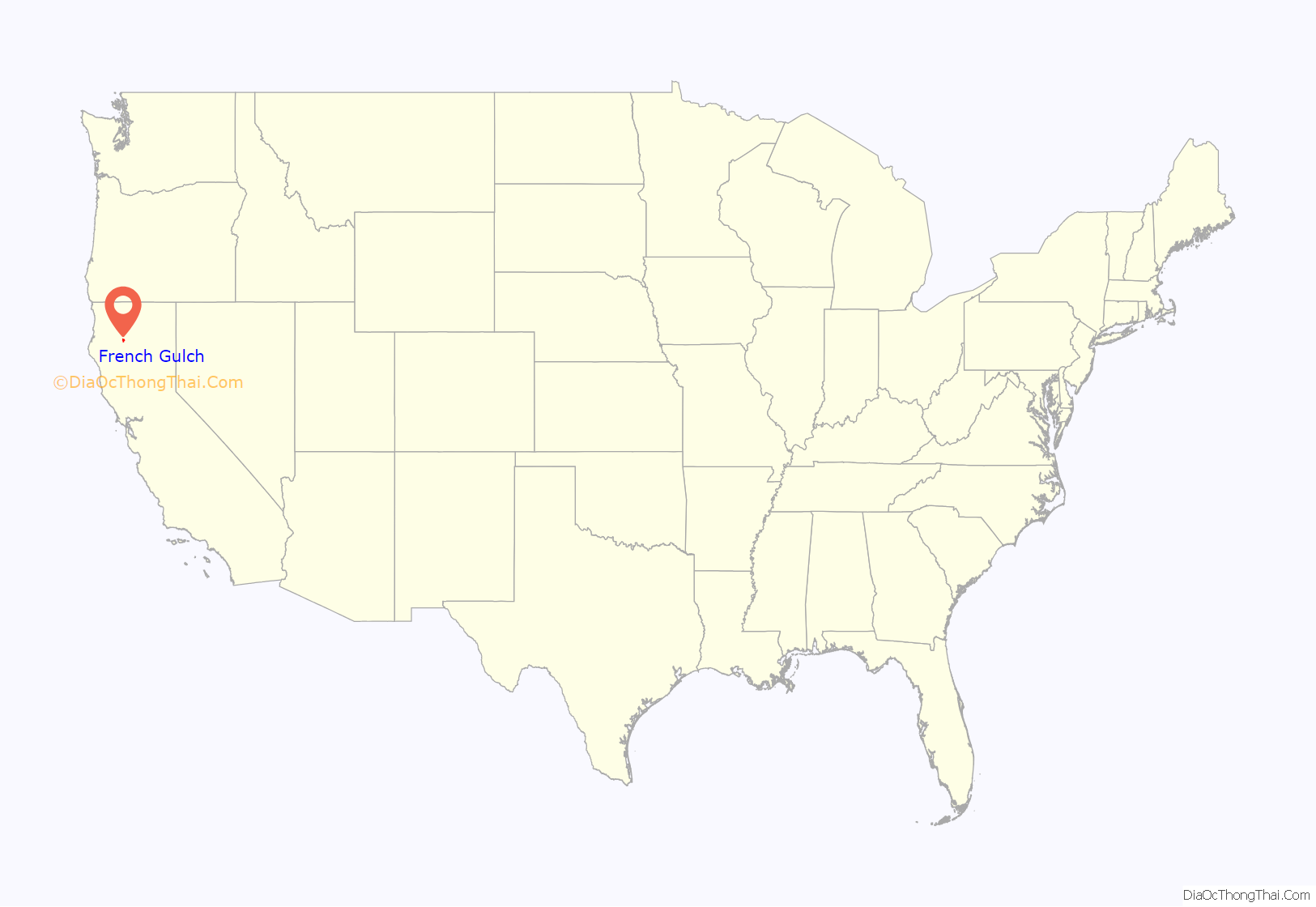
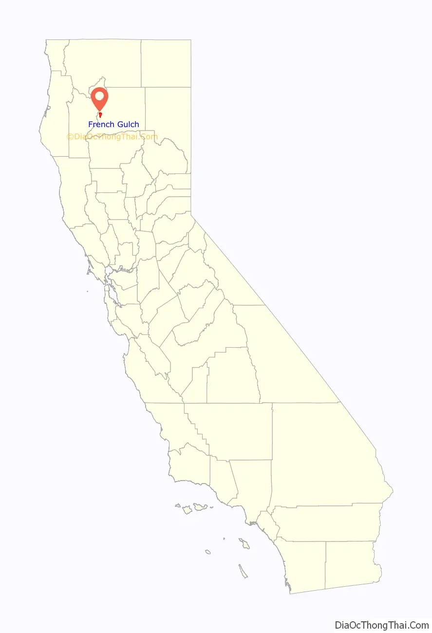
French Gulch location map. Where is French Gulch CDP?
History
French Gulch was founded by French miners in 1849 and became one of California’s major gold producing areas. The town became a major supply place when it became the terminus of the western branch of the California Trail. French Gulch was registered as a California Historical Landmark in 1935.
French Gulch was an important, early, hard rock mining district. The Washington vein system was discovered in 1852, and was worked periodically through about 1914. It is estimated to have produced about 100,000 ounces of gold. The Niagara Mine is estimated to have produced about 50,000 ounces from its past operations. As of 2008, limited production has resumed from the Washington and Niagara mines.
On August 14, 2004, the entire town of French Gulch was evacuated due to a forest fire which roared out of control through much of Shasta County. The fire burned 13,005 acres and destroyed 26 residences, 1 commercial building, and 76 outbuildings. The evacuation lasted 3 days, allowing residents to return home on August 17, 2004. A total of 1,345 fire personnel helped get the blaze under control. The cause was never determined.
On July 22, 2018, French Gulch was evacuated due to the Carr Fire, which was started by a motor vehicle malfunction. As of August 2, air and ground crews continued to work in the area to protect the town from the fire, and many of the buildings, including the historic hotel, were still standing. On August 8, the evacuation order for French Gulch and surrounding areas was lifted, and residents were allowed to return to their homes.
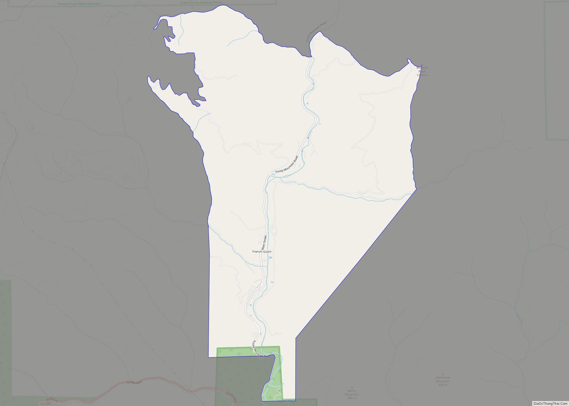
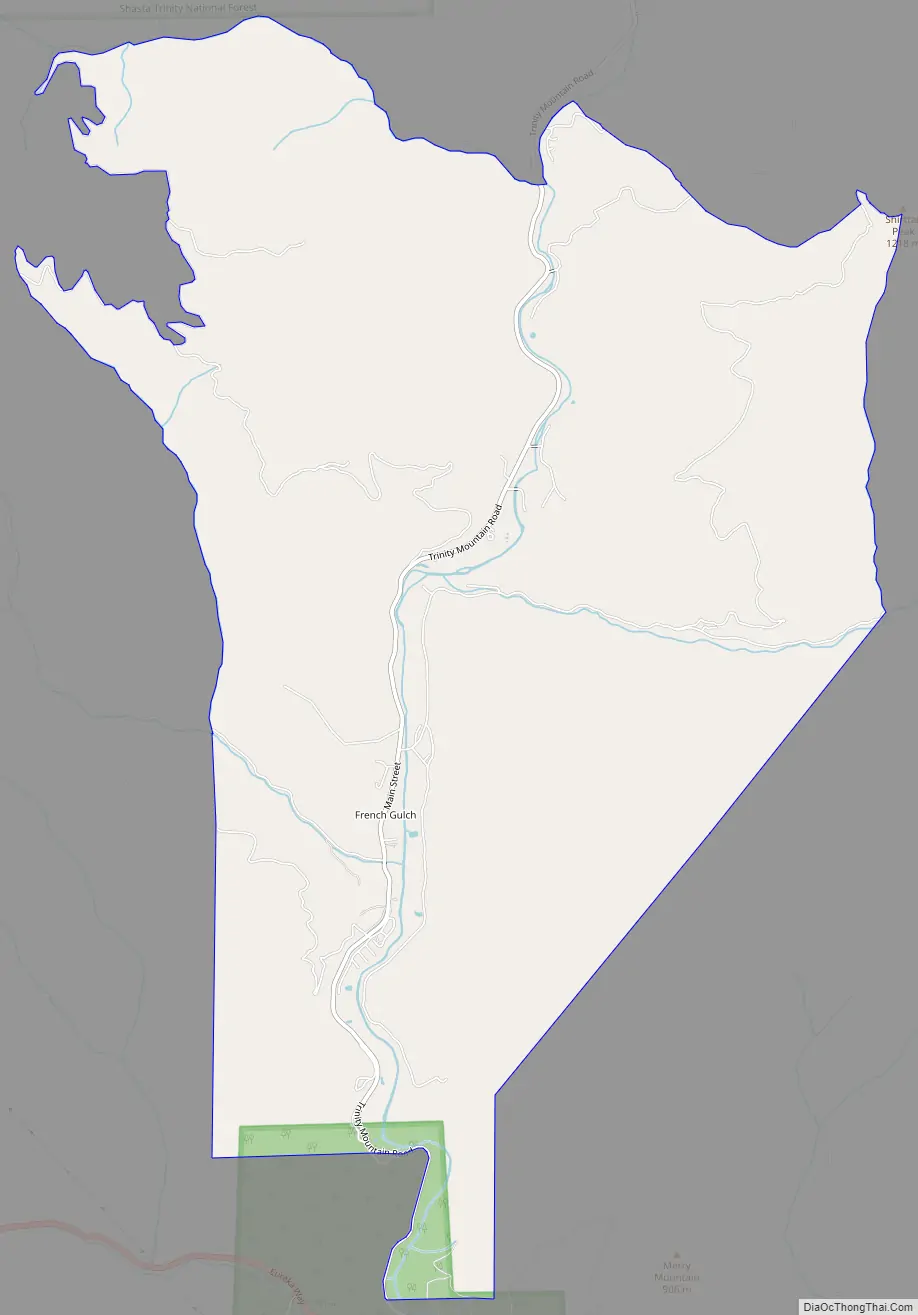
French Gulch Road Map
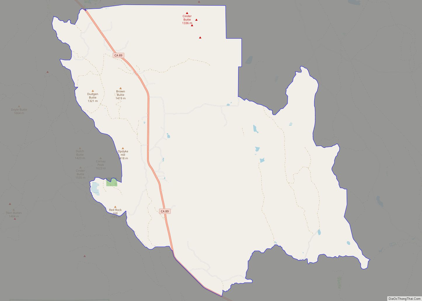
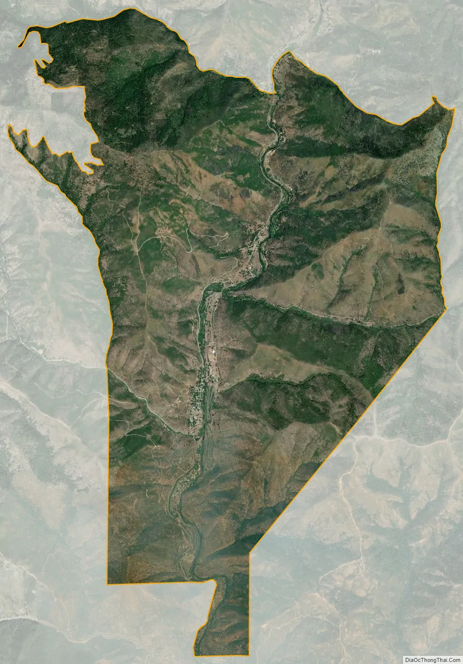
French Gulch city Satellite Map
Geography
French Gulch is located at 40°42′19″N 122°38′7″W / 40.70528°N 122.63528°W / 40.70528; -122.63528 (40.705313, -122.635174). Lying a few miles northwest of Whiskeytown Lake, the hamlet lies along Trinity Mountain Road going north from California State Route 299 with the town center about 3 miles north of 299, and about 19 highway-miles from downtown Redding.
According to the United States Census Bureau, the CDP has a total area of 12.4 square miles (32 km), 99.70% of it land and 0.30% of it water.
See also
Map of California State and its subdivision:- Alameda
- Alpine
- Amador
- Butte
- Calaveras
- Colusa
- Contra Costa
- Del Norte
- El Dorado
- Fresno
- Glenn
- Humboldt
- Imperial
- Inyo
- Kern
- Kings
- Lake
- Lassen
- Los Angeles
- Madera
- Marin
- Mariposa
- Mendocino
- Merced
- Modoc
- Mono
- Monterey
- Napa
- Nevada
- Orange
- Placer
- Plumas
- Riverside
- Sacramento
- San Benito
- San Bernardino
- San Diego
- San Francisco
- San Joaquin
- San Luis Obispo
- San Mateo
- Santa Barbara
- Santa Clara
- Santa Cruz
- Shasta
- Sierra
- Siskiyou
- Solano
- Sonoma
- Stanislaus
- Sutter
- Tehama
- Trinity
- Tulare
- Tuolumne
- Ventura
- Yolo
- Yuba
- Alabama
- Alaska
- Arizona
- Arkansas
- California
- Colorado
- Connecticut
- Delaware
- District of Columbia
- Florida
- Georgia
- Hawaii
- Idaho
- Illinois
- Indiana
- Iowa
- Kansas
- Kentucky
- Louisiana
- Maine
- Maryland
- Massachusetts
- Michigan
- Minnesota
- Mississippi
- Missouri
- Montana
- Nebraska
- Nevada
- New Hampshire
- New Jersey
- New Mexico
- New York
- North Carolina
- North Dakota
- Ohio
- Oklahoma
- Oregon
- Pennsylvania
- Rhode Island
- South Carolina
- South Dakota
- Tennessee
- Texas
- Utah
- Vermont
- Virginia
- Washington
- West Virginia
- Wisconsin
- Wyoming