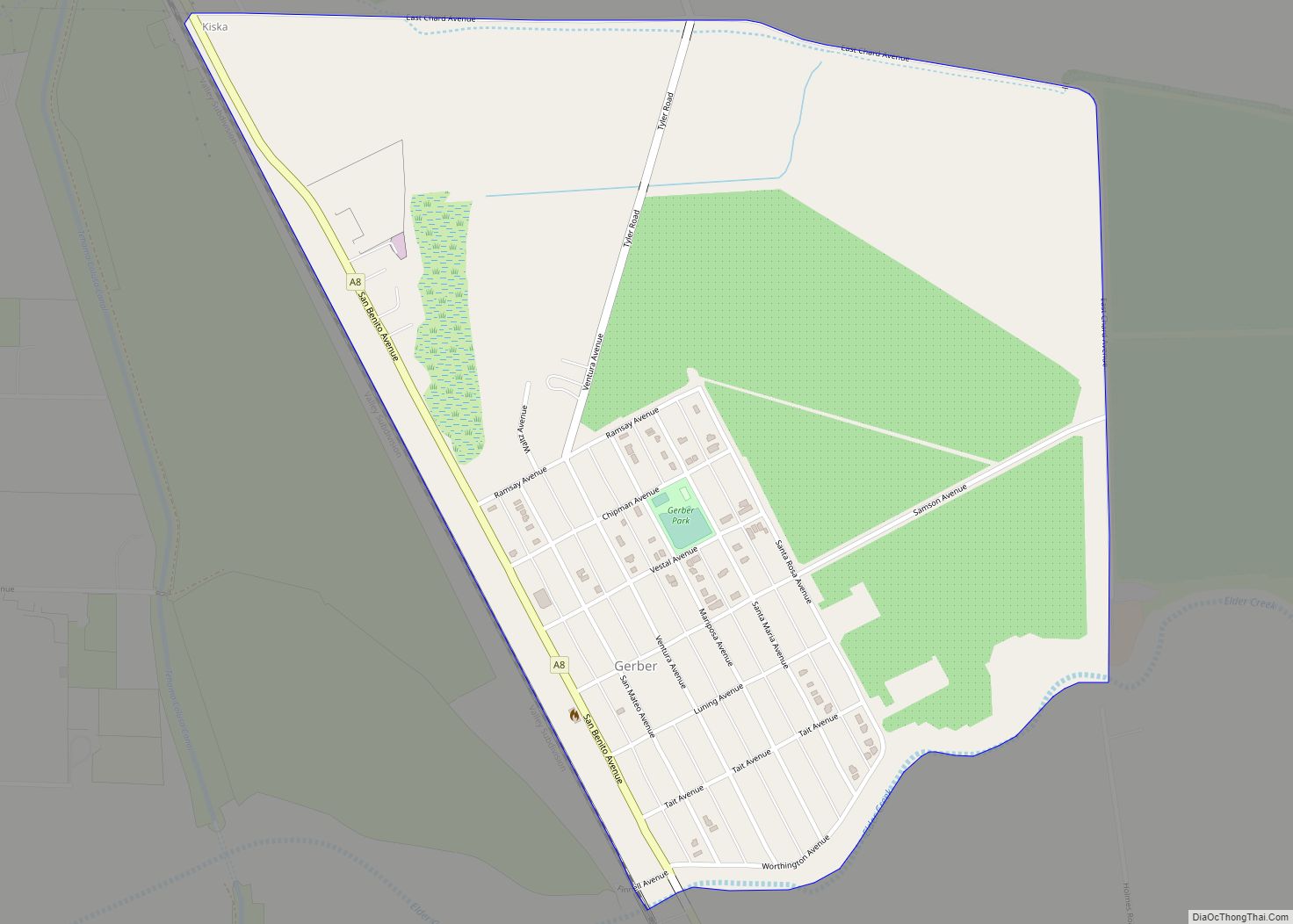
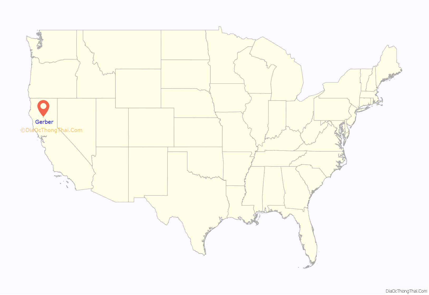
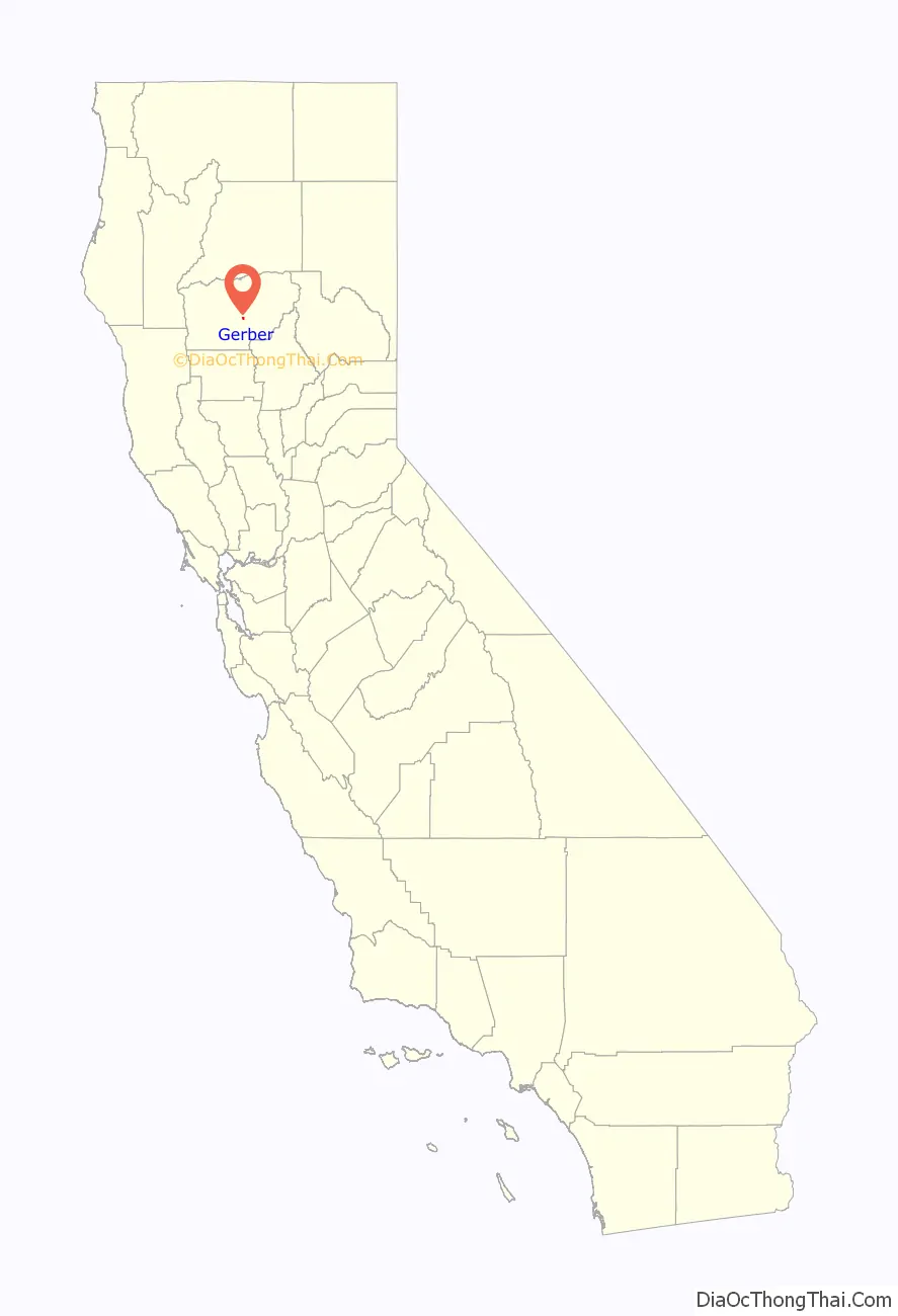
Gerber is a census-designated place (CDP) in Tehama County, California. Gerber sits at an elevation of 226 feet (69 m). The 2010 United States census reported Gerber’s population was 1,060.
| Name: | Gerber CDP |
|---|---|
| LSAD Code: | 57 |
| LSAD Description: | CDP (suffix) |
| State: | California |
| County: | Tehama County |
| Elevation: | 226 ft (69 m) |
| Total Area: | 0.923 sq mi (2.390 km²) |
| Land Area: | 0.923 sq mi (2.390 km²) |
| Water Area: | 0 sq mi (0 km²) 0% |
| Total Population: | 1,044 |
| Population Density: | 1,100/sq mi (440/km²) |
| FIPS code: | 0629392 |
| GNISfeature ID: | 2628801 |
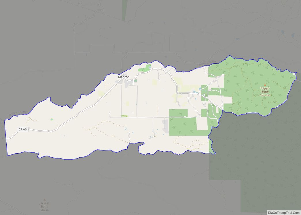
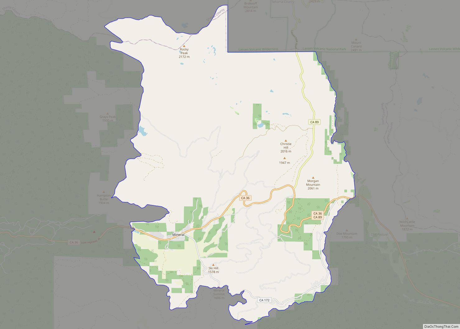
Online Interactive Map
Click on ![]() to view map in "full screen" mode.
to view map in "full screen" mode.
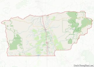
Gerber location map. Where is Gerber CDP?
History
Gerber was platted in 1910, and named after the Gerber family, original owners of the town site. A post office has been in operation at Gerber since 1916.
In the early years, Gerber was a center supporting ranchers and alfalfa growers.
Between 1916 and 1965, Gerber was the location of a division point on the Southern Pacific Railroad between the Sacramento and Shasta Divisions. Situated two miles north of the junction of the West Valley Line to Davis and the East Valley Line to Sacramento via Chico and Marysville, facilities included steam locomotive fueling, repair and crew-change. There were also livestock yards and an icing plant for refrigerator cars. Following the 1955 completion of the railroad’s phasing in of diesel locomotives as a replacement to steam, operations at Gerber were gradually curtailed over the following decade and eventually closed down.
Passenger service continued until 1972 when Amtrak’s Coast Starlight discontinued Gerber station as a stop.
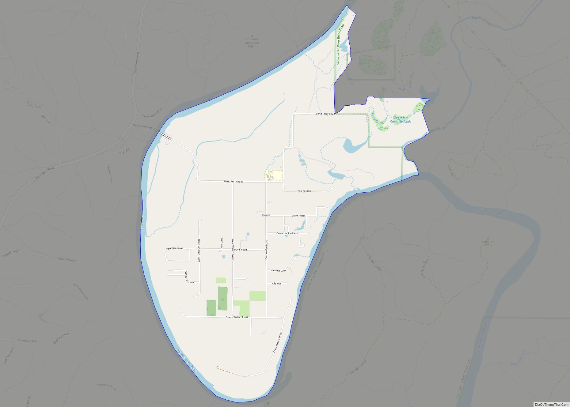
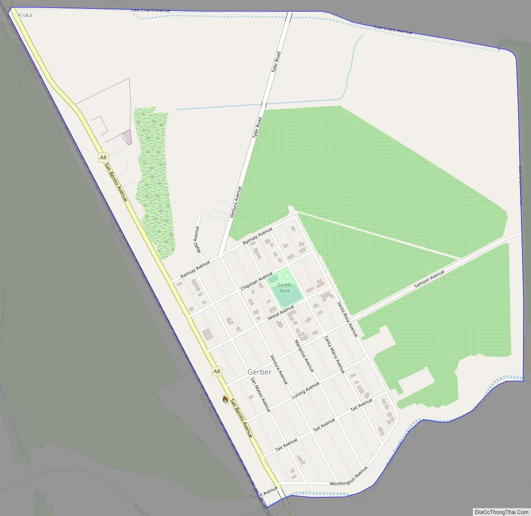
Gerber Road Map
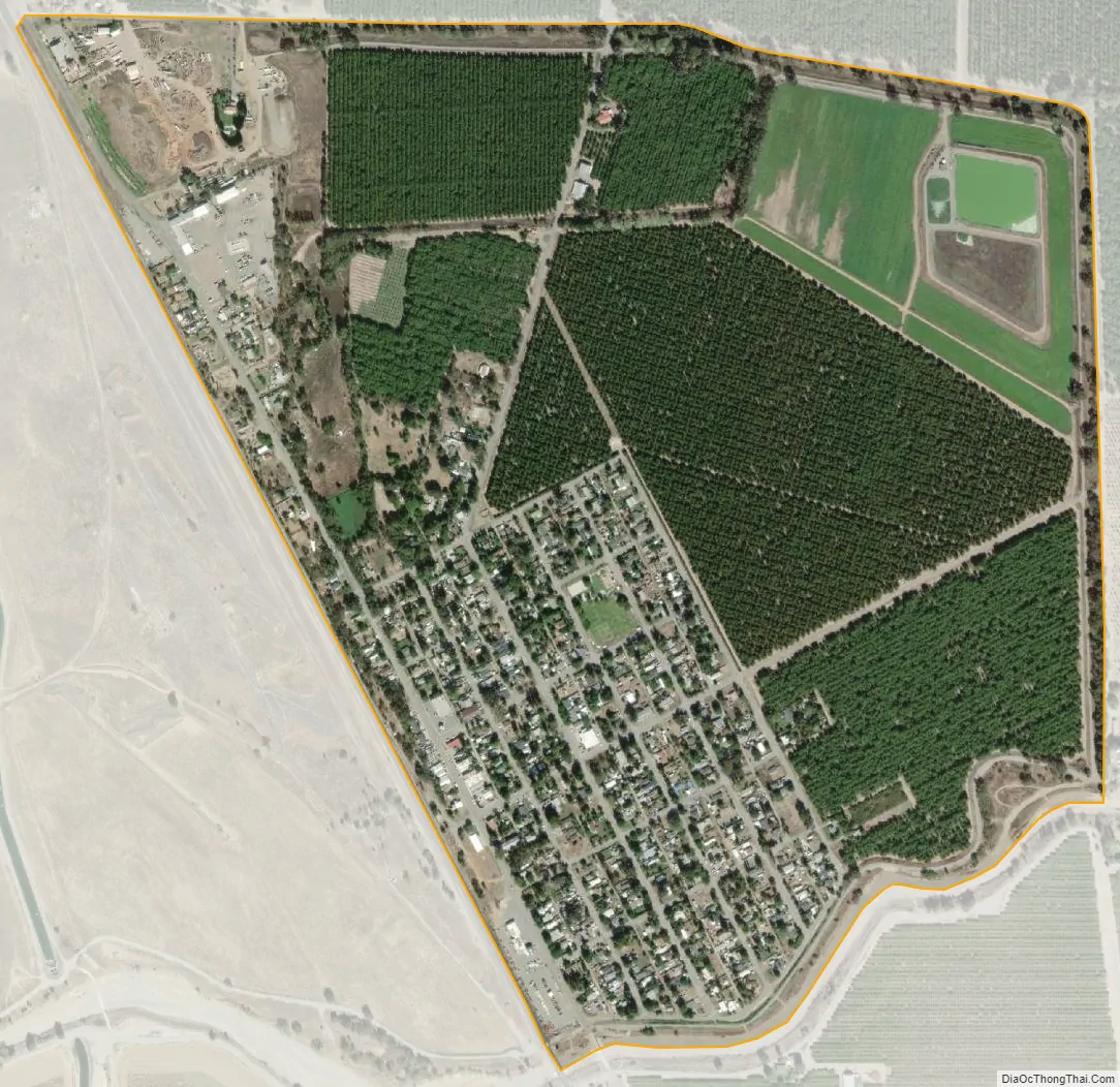
Gerber city Satellite Map
Geography
According to the United States Census Bureau, the CDP covers an area of 0.9 square miles (2.4 km), all of it land.
See also
Map of California State and its subdivision:- Alameda
- Alpine
- Amador
- Butte
- Calaveras
- Colusa
- Contra Costa
- Del Norte
- El Dorado
- Fresno
- Glenn
- Humboldt
- Imperial
- Inyo
- Kern
- Kings
- Lake
- Lassen
- Los Angeles
- Madera
- Marin
- Mariposa
- Mendocino
- Merced
- Modoc
- Mono
- Monterey
- Napa
- Nevada
- Orange
- Placer
- Plumas
- Riverside
- Sacramento
- San Benito
- San Bernardino
- San Diego
- San Francisco
- San Joaquin
- San Luis Obispo
- San Mateo
- Santa Barbara
- Santa Clara
- Santa Cruz
- Shasta
- Sierra
- Siskiyou
- Solano
- Sonoma
- Stanislaus
- Sutter
- Tehama
- Trinity
- Tulare
- Tuolumne
- Ventura
- Yolo
- Yuba
- Alabama
- Alaska
- Arizona
- Arkansas
- California
- Colorado
- Connecticut
- Delaware
- District of Columbia
- Florida
- Georgia
- Hawaii
- Idaho
- Illinois
- Indiana
- Iowa
- Kansas
- Kentucky
- Louisiana
- Maine
- Maryland
- Massachusetts
- Michigan
- Minnesota
- Mississippi
- Missouri
- Montana
- Nebraska
- Nevada
- New Hampshire
- New Jersey
- New Mexico
- New York
- North Carolina
- North Dakota
- Ohio
- Oklahoma
- Oregon
- Pennsylvania
- Rhode Island
- South Carolina
- South Dakota
- Tennessee
- Texas
- Utah
- Vermont
- Virginia
- Washington
- West Virginia
- Wisconsin
- Wyoming