Gold River is a census-designated place (CDP) in Sacramento County, California. The population was 7,812 at the 2010 census, down from 8,023 at the 2000 census. Gold River is part of the Sacramento–Arden-Arcade–Roseville Metropolitan Statistical Area. With a median family income of $141,399 according to U.S Census Bureau in 2021, Gold River is the highest-income place in Sacramento County.
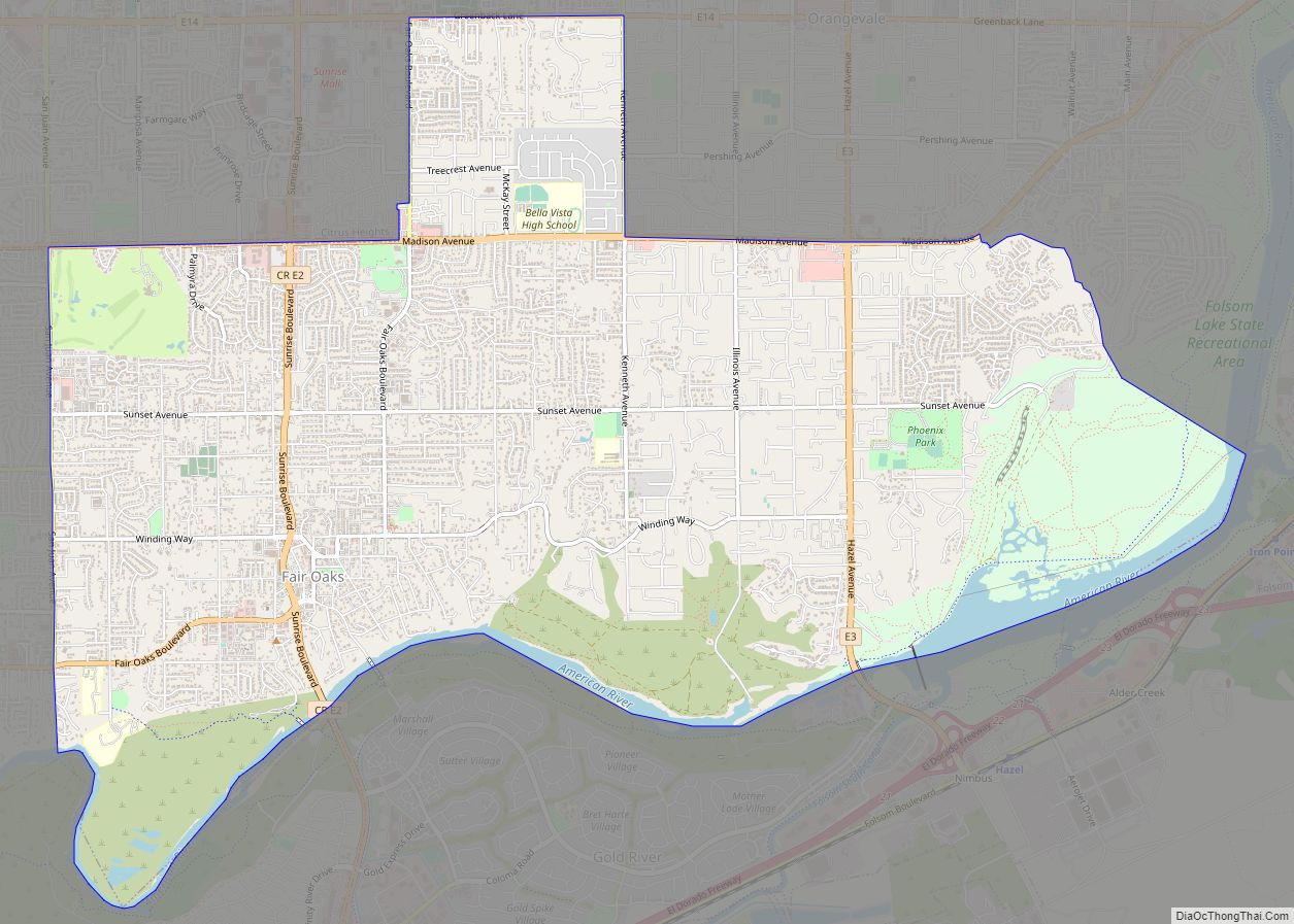
The community of Gold River consists of a residential planned development and some smaller subdivisions served by the Gold River Discovery Center (a K through 8 school), as well as some retail, commercial and light industrial areas. The community consists of detached single family homes, duplex and triplexes, as well as a condominium development. Gold River lies between the cities of Rancho Cordova on the south, Folsom on the east, and the American River to the north. The Gold River Community Association is the master association for the 25 separate “villages” that make up the planned development. Each village has its own subassociations as well. The planned development and two subdivisions, including Gold Station, opted out of inclusion into the City of Rancho Cordova by resolution and petitions, respectively. The community remains an unincorporated part of Sacramento County.
| Name: | Gold River CDP |
|---|---|
| LSAD Code: | 57 |
| LSAD Description: | CDP (suffix) |
| State: | California |
| County: | Sacramento County |
| Elevation: | 121 ft (37 m) |
| Total Area: | 2.721 sq mi (7.05 km²) |
| Land Area: | 2.637 sq mi (6.83 km²) |
| Water Area: | 0.084 sq mi (0.22 km²) 3.10% |
| Total Population: | 7,912 |
| Population Density: | 2,900/sq mi (1,100/km²) |
| ZIP code: | 95670 |
| Area code: | 916, 279 |
| FIPS code: | 0630345 |
Online Interactive Map
Click on ![]() to view map in "full screen" mode.
to view map in "full screen" mode.
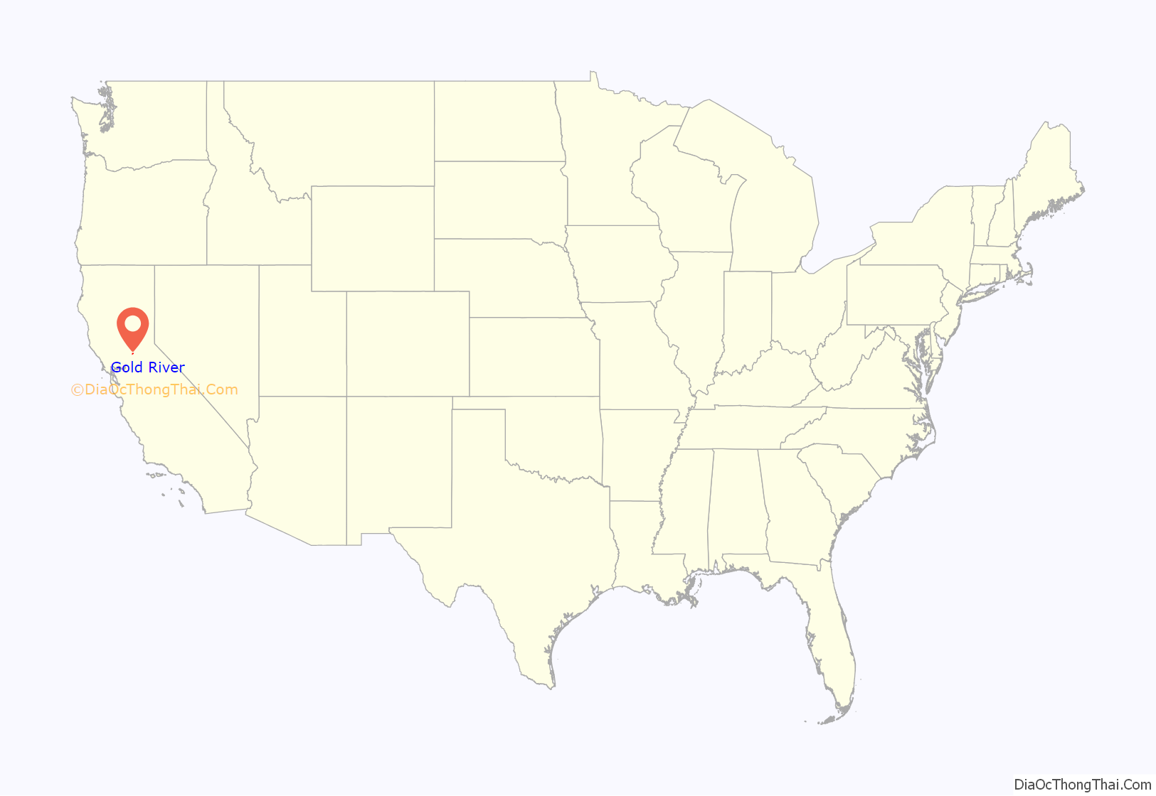
Gold River location map. Where is Gold River CDP?
Gold River Road Map
Gold River city Satellite Map
Geography
Gold River is located at 38°37′24″N 121°14′52″W / 38.62333°N 121.24778°W / 38.62333; -121.24778 (38.623392, -121.247845).
According to the United States Census Bureau, the CDP has a total area of 2.7 square miles (7.0 km), of which, 2.6 square miles (6.7 km) of it is land and 0.1 square miles (0.26 km) of it (3.10%) is water.
See also
Map of California State and its subdivision:- Alameda
- Alpine
- Amador
- Butte
- Calaveras
- Colusa
- Contra Costa
- Del Norte
- El Dorado
- Fresno
- Glenn
- Humboldt
- Imperial
- Inyo
- Kern
- Kings
- Lake
- Lassen
- Los Angeles
- Madera
- Marin
- Mariposa
- Mendocino
- Merced
- Modoc
- Mono
- Monterey
- Napa
- Nevada
- Orange
- Placer
- Plumas
- Riverside
- Sacramento
- San Benito
- San Bernardino
- San Diego
- San Francisco
- San Joaquin
- San Luis Obispo
- San Mateo
- Santa Barbara
- Santa Clara
- Santa Cruz
- Shasta
- Sierra
- Siskiyou
- Solano
- Sonoma
- Stanislaus
- Sutter
- Tehama
- Trinity
- Tulare
- Tuolumne
- Ventura
- Yolo
- Yuba
- Alabama
- Alaska
- Arizona
- Arkansas
- California
- Colorado
- Connecticut
- Delaware
- District of Columbia
- Florida
- Georgia
- Hawaii
- Idaho
- Illinois
- Indiana
- Iowa
- Kansas
- Kentucky
- Louisiana
- Maine
- Maryland
- Massachusetts
- Michigan
- Minnesota
- Mississippi
- Missouri
- Montana
- Nebraska
- Nevada
- New Hampshire
- New Jersey
- New Mexico
- New York
- North Carolina
- North Dakota
- Ohio
- Oklahoma
- Oregon
- Pennsylvania
- Rhode Island
- South Carolina
- South Dakota
- Tennessee
- Texas
- Utah
- Vermont
- Virginia
- Washington
- West Virginia
- Wisconsin
- Wyoming
