Grover Beach is a city in San Luis Obispo County, California, United States. The population was 13,156 at the 2010 census, up from 13,067 in 2000. Grover Beach is the location of the Pacific Crossing cable Landing station. This is where trans-pacific submarine cables come ashore and interface with the North American telecom network.
| Name: | Grover Beach city |
|---|---|
| LSAD Code: | 25 |
| LSAD Description: | city (suffix) |
| State: | California |
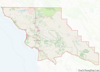
| County: | San Luis Obispo County |
| Incorporated: | December 21, 1959 |
| Elevation: | 59 ft (18 m) |
| Total Area: | 2.32 sq mi (6.00 km²) |
| Land Area: | 2.31 sq mi (5.99 km²) |
| Water Area: | 0.00 sq mi (0.01 km²) 0.19% |
| Total Population: | 13,156 |
| Population Density: | 5,821.37/sq mi (2,247.67/km²) |
| ZIP code: | 93433, 93483 |
| Area code: | 805 |
| FIPS code: | 0631393 |
| GNISfeature ID: | 1652833 |
| Website: | www.grover.org |
Online Interactive Map
Click on ![]() to view map in "full screen" mode.
to view map in "full screen" mode.
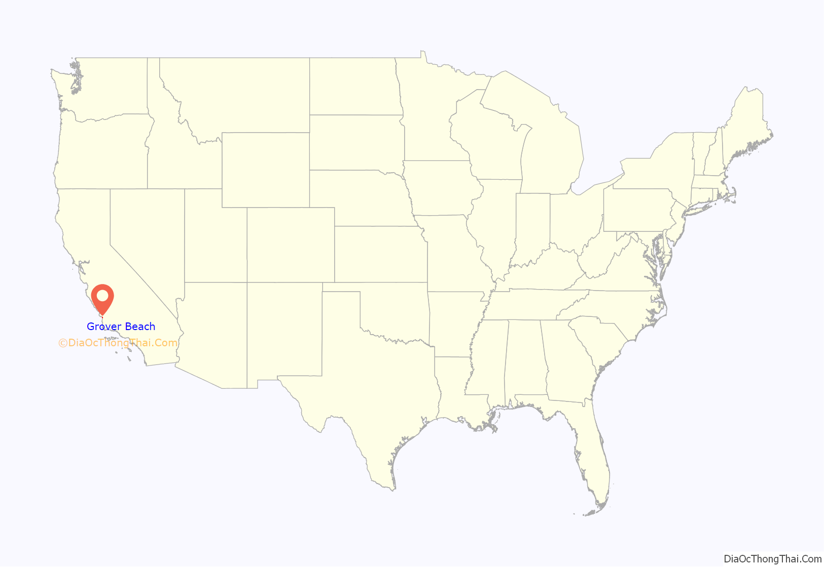
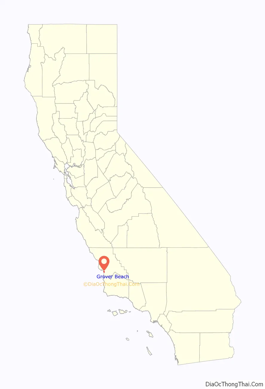
Grover Beach location map. Where is Grover Beach city?
History
Grover Beach was originally known as Town of Grover, which was founded on August 1, 1887. The town was named for its founder, D.W. Grover.
Grover filed his plans at the San Luis Obispo County Court House and eventually founded what was to be known as City of Grover City. There was a popular vote that allowed incorporating on December 21, 1959, as City of Grover City. However, the name seemed redundant so some people sought better names, especially ocean-oriented names. In 1992, there was another popular vote, in which the town’s name was officially changed from “City of Grover City” to “Grover Beach” to emphasize the seaside location.
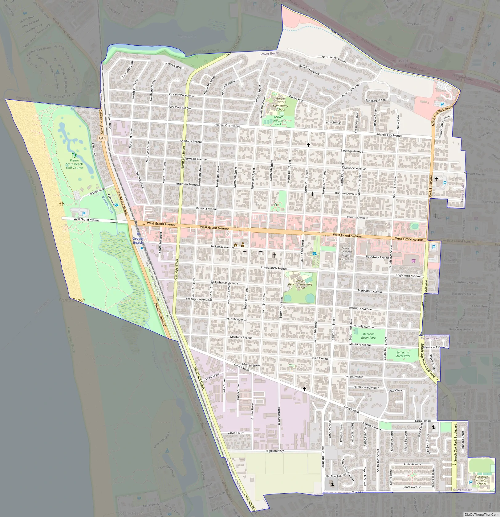
Grover Beach Road Map
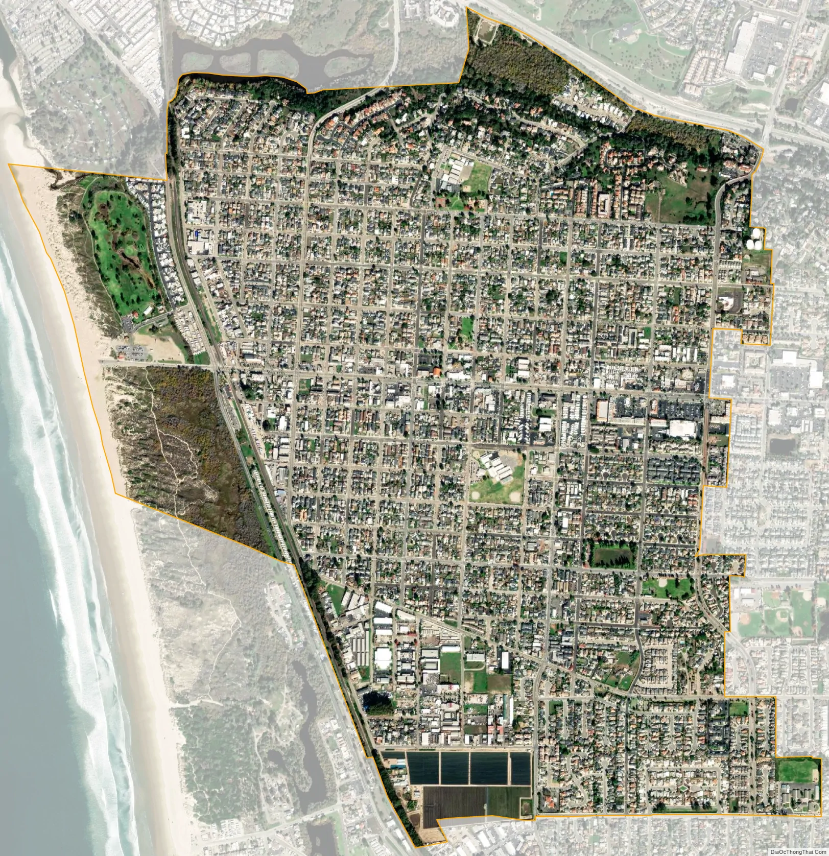
Grover Beach city Satellite Map
Geography
Grover Beach is part of the 5 Cities Metropolitan Area. The “5 Cities” includes 3 cities; Grover Beach, Pismo Beach, and Arroyo Grande along with Oceano and Shell Beach (part of Pismo Beach). The city extends from Arroyo Grande in the east to Pismo State Beach.
According to the United States Census Bureau, the city has a total area of 2.3 square miles (6.0 km), of which 99.81% is land and 0.19% is water.
Climate
This region experiences warm and dry summers, with no average monthly temperatures above 71.6 °F. According to the Köppen Climate Classification system, Grover Beach has a warm-summer Mediterranean climate, abbreviated “Csb” on climate maps.
See also
Map of California State and its subdivision:- Alameda
- Alpine
- Amador
- Butte
- Calaveras
- Colusa
- Contra Costa
- Del Norte
- El Dorado
- Fresno
- Glenn
- Humboldt
- Imperial
- Inyo
- Kern
- Kings
- Lake
- Lassen
- Los Angeles
- Madera
- Marin
- Mariposa
- Mendocino
- Merced
- Modoc
- Mono
- Monterey
- Napa
- Nevada
- Orange
- Placer
- Plumas
- Riverside
- Sacramento
- San Benito
- San Bernardino
- San Diego
- San Francisco
- San Joaquin
- San Luis Obispo
- San Mateo
- Santa Barbara
- Santa Clara
- Santa Cruz
- Shasta
- Sierra
- Siskiyou
- Solano
- Sonoma
- Stanislaus
- Sutter
- Tehama
- Trinity
- Tulare
- Tuolumne
- Ventura
- Yolo
- Yuba
- Alabama
- Alaska
- Arizona
- Arkansas
- California
- Colorado
- Connecticut
- Delaware
- District of Columbia
- Florida
- Georgia
- Hawaii
- Idaho
- Illinois
- Indiana
- Iowa
- Kansas
- Kentucky
- Louisiana
- Maine
- Maryland
- Massachusetts
- Michigan
- Minnesota
- Mississippi
- Missouri
- Montana
- Nebraska
- Nevada
- New Hampshire
- New Jersey
- New Mexico
- New York
- North Carolina
- North Dakota
- Ohio
- Oklahoma
- Oregon
- Pennsylvania
- Rhode Island
- South Carolina
- South Dakota
- Tennessee
- Texas
- Utah
- Vermont
- Virginia
- Washington
- West Virginia
- Wisconsin
- Wyoming