Hawaiian Gardens is a city in Los Angeles County, California, United States. It is the smallest city in the county in area (approximately 1.0 mi) and was incorporated on April 9, 1964. The population was 14,254 at the 2010 census, down from 14,779 at the 2000 census.
The city’s unusual name originated with a 1920s refreshment stand that was decorated with palm fronds and bamboo. It was the then-rural area’s main landmark for many years, and its name stuck as the small town grew up around it. As one of seven Los Angeles County cities that allow casino gambling, more than $9.2 million (65%) of the city’s revenue comes from the Gardens Casino.
| Name: | Hawaiian Gardens city |
|---|---|
| LSAD Code: | 25 |
| LSAD Description: | city (suffix) |
| State: | California |
| County: | Los Angeles County |
| Elevation: | 33 ft (10 m) |
| Total Area: | 0.96 sq mi (2.48 km²) |
| Land Area: | 0.95 sq mi (2.45 km²) |
| Water Area: | 0.01 sq mi (0.03 km²) 1.09% |
| Total Population: | 14,254 |
| Population Density: | 14,935.65/sq mi (5,768.48/km²) |
| ZIP code: | 90716 |
| Area code: | 562 |
| FIPS code: | 0632506 |
| GNISfeature ID: | 1652716 |
| Website: | hgcity.org |
Online Interactive Map
Click on ![]() to view map in "full screen" mode.
to view map in "full screen" mode.
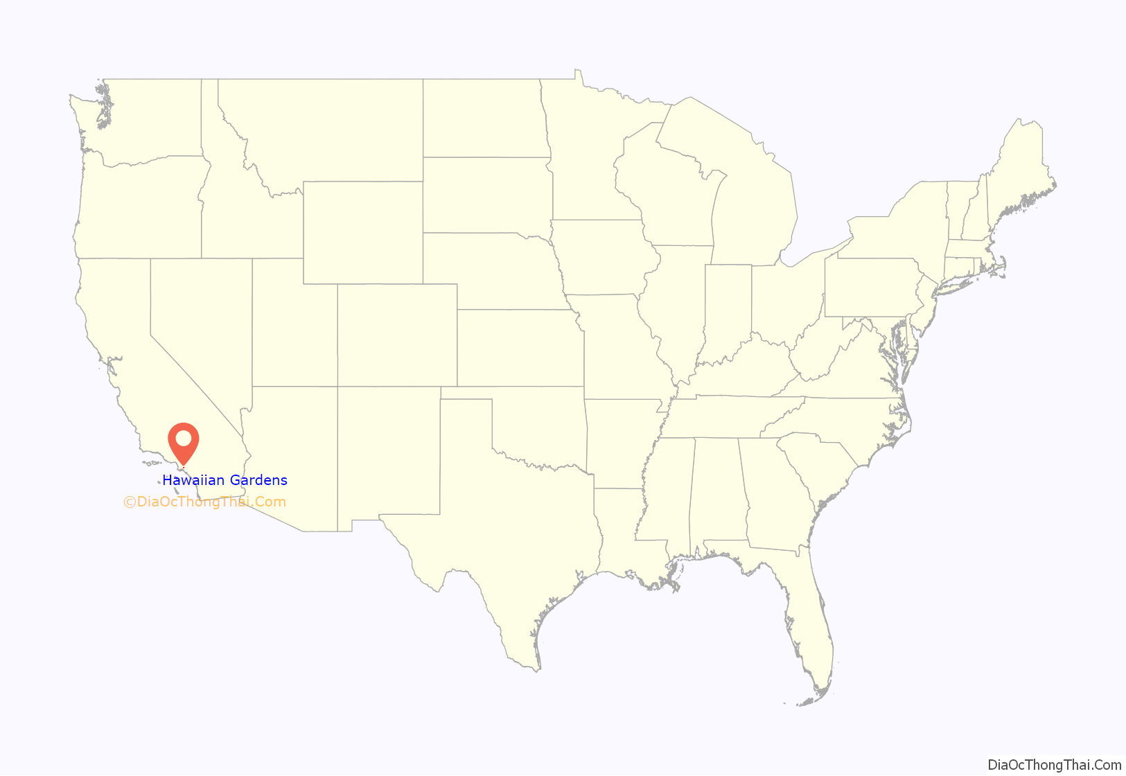
Hawaiian Gardens location map. Where is Hawaiian Gardens city?
History
After a nineteenth-century property bubble crashed, Los Angeles began growing again, and by the turn of the century had reached 100,000 inhabitants. But the area that would become Hawaiian Gardens (then known as “The Delta”) remained largely a rural area with dairy and truck farms and some oil development. In 1927, a fruit stand with palms was opened on the corner of two dirt roads of Carson Street and Norwalk Boulevard called Hawaiian Gardens. Thus, the name was born. During the Great Depression, the area became a refuge for people to buy or build a home due to low land costs, despite poor roads, frequent flooding, and limited access to electricity.
In the late 1920s, only Norwalk Blvd was a paved road. For the next 35 years, except for Pioneer Boulevard, Norwalk Boulevard, and Carson Street, the little town would be all dirt roads. When the city was incorporated in 1964, the paving of roads began immediately. By 1966, all streets south of Carson between Pioneer and Norwalk were paved. By 1968, all streets were paved, and the three major thoroughfares of Norwalk, Pioneer, and Carson were widened to current traffic standards.
Hawaiian Gardens Road Map
Hawaiian Gardens city Satellite Map
Geography
Hawaiian Gardens is located at 33°49′43″N 118°4′25″W / 33.82861°N 118.07361°W / 33.82861; -118.07361 (33.828565, -118.073646). It is bounded by the Los Angeles County cities of Long Beach and Lakewood, and by the Orange County city of Cypress.
According to the United States Census Bureau, the city has a total area of 1.0 square mile (2.6 km). 1.0 square mile (2.6 km) of it is land and 0.01 square miles (0.026 km) of it (1.09%) is water. Hawaiian Gardens is the smallest city in area in Los Angeles County.
See also
Map of California State and its subdivision:- Alameda
- Alpine
- Amador
- Butte
- Calaveras
- Colusa
- Contra Costa
- Del Norte
- El Dorado
- Fresno
- Glenn
- Humboldt
- Imperial
- Inyo
- Kern
- Kings
- Lake
- Lassen
- Los Angeles
- Madera
- Marin
- Mariposa
- Mendocino
- Merced
- Modoc
- Mono
- Monterey
- Napa
- Nevada
- Orange
- Placer
- Plumas
- Riverside
- Sacramento
- San Benito
- San Bernardino
- San Diego
- San Francisco
- San Joaquin
- San Luis Obispo
- San Mateo
- Santa Barbara
- Santa Clara
- Santa Cruz
- Shasta
- Sierra
- Siskiyou
- Solano
- Sonoma
- Stanislaus
- Sutter
- Tehama
- Trinity
- Tulare
- Tuolumne
- Ventura
- Yolo
- Yuba
- Alabama
- Alaska
- Arizona
- Arkansas
- California
- Colorado
- Connecticut
- Delaware
- District of Columbia
- Florida
- Georgia
- Hawaii
- Idaho
- Illinois
- Indiana
- Iowa
- Kansas
- Kentucky
- Louisiana
- Maine
- Maryland
- Massachusetts
- Michigan
- Minnesota
- Mississippi
- Missouri
- Montana
- Nebraska
- Nevada
- New Hampshire
- New Jersey
- New Mexico
- New York
- North Carolina
- North Dakota
- Ohio
- Oklahoma
- Oregon
- Pennsylvania
- Rhode Island
- South Carolina
- South Dakota
- Tennessee
- Texas
- Utah
- Vermont
- Virginia
- Washington
- West Virginia
- Wisconsin
- Wyoming


