Cypress is a city in northwestern Orange County within Southern California. Its population was 50,151 at the 2020 census.
| Name: | Cypress city |
|---|---|
| LSAD Code: | 25 |
| LSAD Description: | city (suffix) |
| State: | California |
| County: | Orange County |
| Incorporated: | July 24, 1956 |
| Elevation: | 39 ft (12 m) |
| Total Area: | 6.62 sq mi (17.15 km²) |
| Land Area: | 6.61 sq mi (17.13 km²) |
| Water Area: | 0.01 sq mi (0.02 km²) 0.14% |
| Total Population: | 50,151 |
| Population Density: | 7,583.70/sq mi (2,927.99/km²) |
| ZIP code: | 90630 |
| FIPS code: | 0617750 |
| Website: | www.cypressca.org |
Online Interactive Map
Click on ![]() to view map in "full screen" mode.
to view map in "full screen" mode.
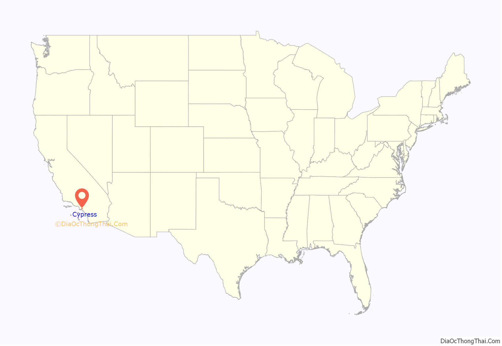
Cypress location map. Where is Cypress city?

History
Cypress originally was nicknamed “Waterville” due to the preponderance of artesian wells in the area, but was incorporated under the name Dairy City in 1956 by local dairy farmers as a means of staving off developers and to preserve their dairies, much like the then-neighboring cities of Dairy Valley in Cerritos and Dairyland in La Palma. After World War II, however, the land became too valuable for farming or ranching, and the dairies gradually sold out to housing developers during the 1960s, so that by the 1970s no dairies remained. Many of the dairymen moved their operations to Chino, where development is once again pushing them out of the area.
In 1957 local residents voted to change the name of “Dairy City” to “Cypress”. The name was taken from Cypress Elementary School (originally built in 1895) which took its name from the Cypress trees planted to protect the schoolhouse from the seasonal Santa Ana winds. Cypress Elementary School also provided the name for new Pacific Electric Railway station on Walker Street at Lincoln Avenue when the Santa Ana Line was completed in 1906, as “Waterville” already had been used elsewhere in the system.
In 1981, the City of Cypress inaugurated an annual birthday celebration for the city. The event, the Cypress Community Festival, currently may be the largest single-day event of its kind in Orange County, California. The Cypress Community Festival is held annually on the 4th Saturday in July at Oak Knoll Park, located adjacent to the Cypress Community Center at 5700 Orange Avenue, between Valley View Street and Walker Avenue.
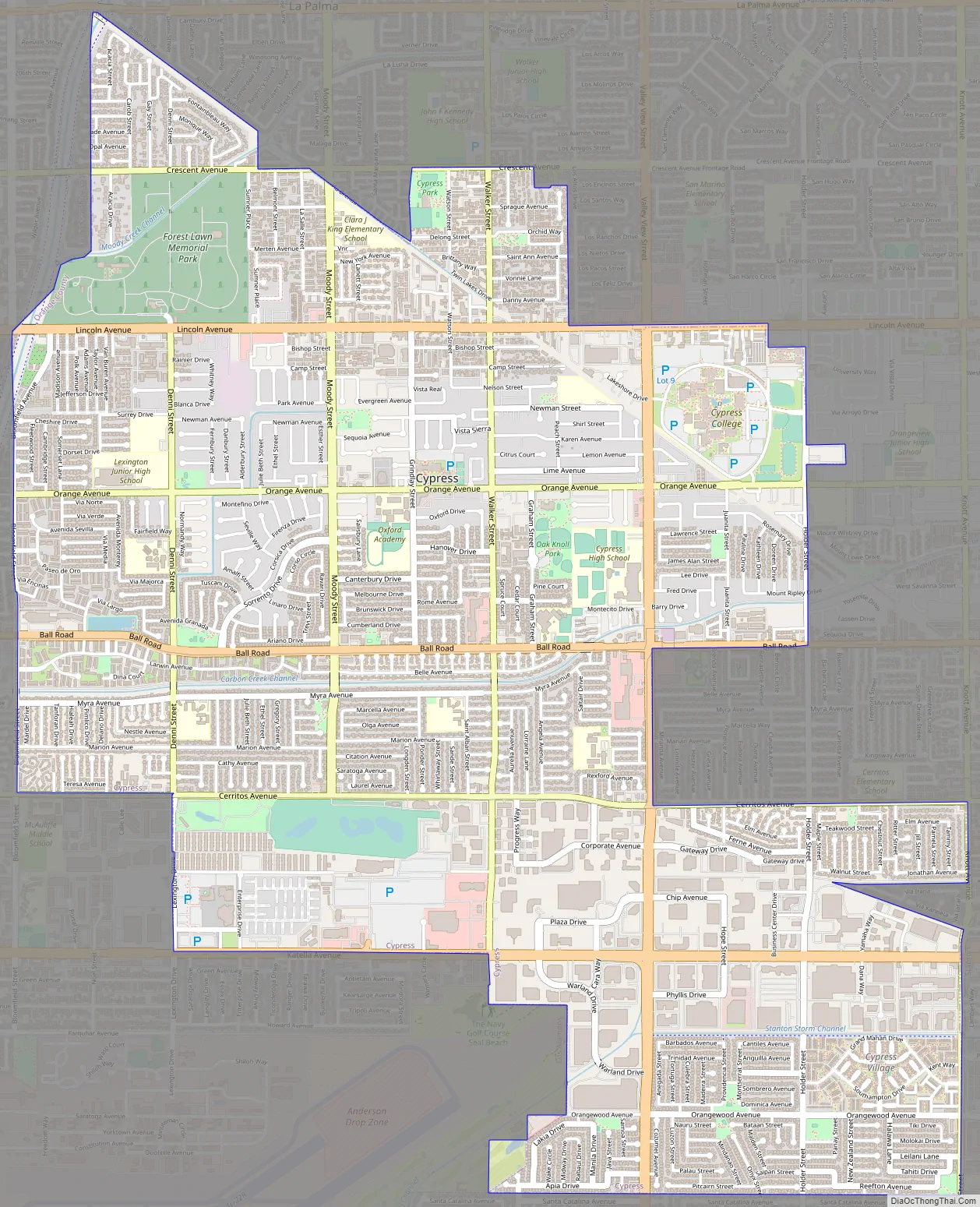
Cypress Road Map
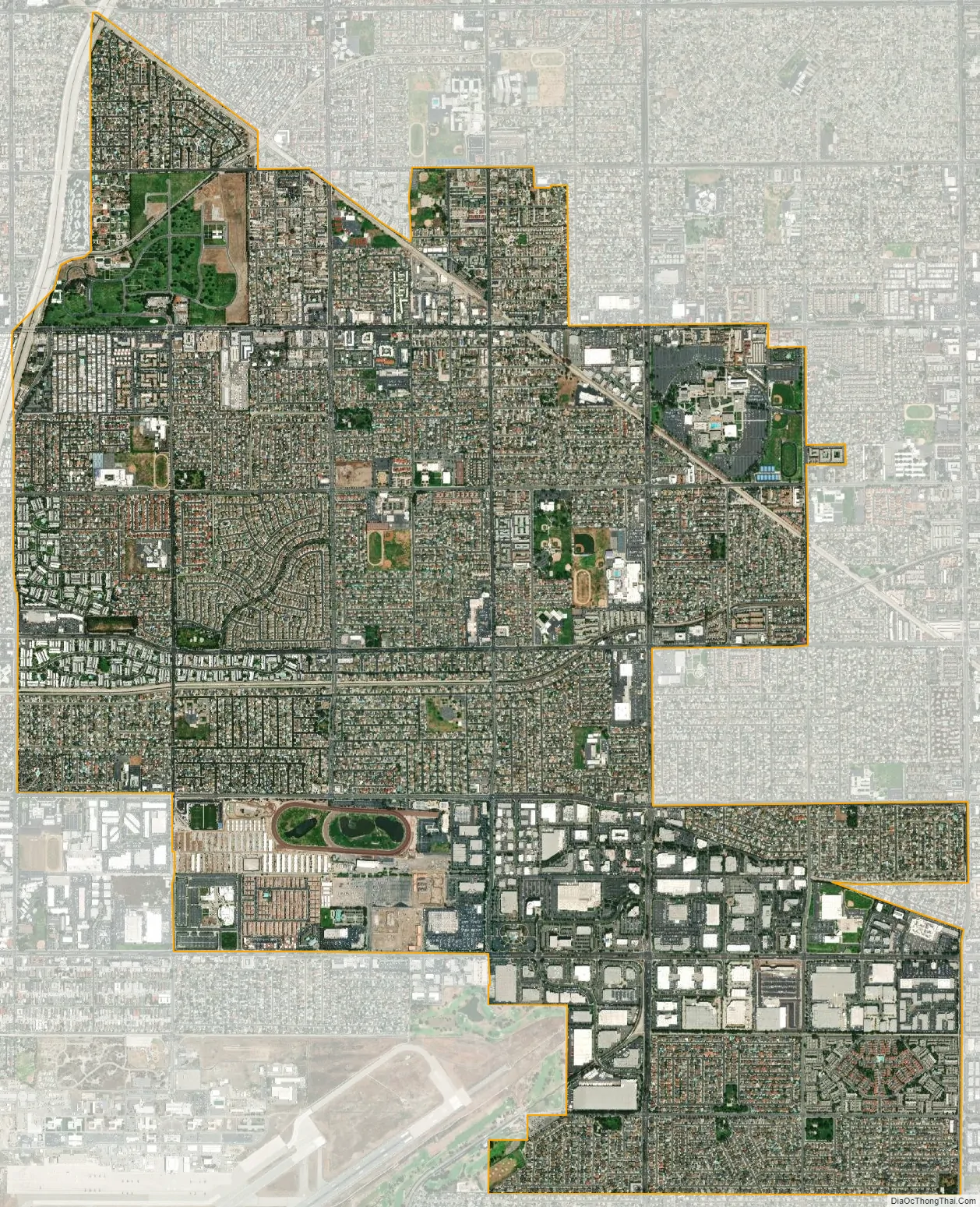
Cypress city Satellite Map
Geography
According to the United States Census Bureau, the city has a total area of 6.6 square miles (17.1 km). 6.6 square miles (17.0 km) of it is land and 0.14% is water.
See also
Map of California State and its subdivision:- Alameda
- Alpine
- Amador
- Butte
- Calaveras
- Colusa
- Contra Costa
- Del Norte
- El Dorado
- Fresno
- Glenn
- Humboldt
- Imperial
- Inyo
- Kern
- Kings
- Lake
- Lassen
- Los Angeles
- Madera
- Marin
- Mariposa
- Mendocino
- Merced
- Modoc
- Mono
- Monterey
- Napa
- Nevada
- Orange
- Placer
- Plumas
- Riverside
- Sacramento
- San Benito
- San Bernardino
- San Diego
- San Francisco
- San Joaquin
- San Luis Obispo
- San Mateo
- Santa Barbara
- Santa Clara
- Santa Cruz
- Shasta
- Sierra
- Siskiyou
- Solano
- Sonoma
- Stanislaus
- Sutter
- Tehama
- Trinity
- Tulare
- Tuolumne
- Ventura
- Yolo
- Yuba
- Alabama
- Alaska
- Arizona
- Arkansas
- California
- Colorado
- Connecticut
- Delaware
- District of Columbia
- Florida
- Georgia
- Hawaii
- Idaho
- Illinois
- Indiana
- Iowa
- Kansas
- Kentucky
- Louisiana
- Maine
- Maryland
- Massachusetts
- Michigan
- Minnesota
- Mississippi
- Missouri
- Montana
- Nebraska
- Nevada
- New Hampshire
- New Jersey
- New Mexico
- New York
- North Carolina
- North Dakota
- Ohio
- Oklahoma
- Oregon
- Pennsylvania
- Rhode Island
- South Carolina
- South Dakota
- Tennessee
- Texas
- Utah
- Vermont
- Virginia
- Washington
- West Virginia
- Wisconsin
- Wyoming


