Healdsburg is a city located in Sonoma County, in California‘s Wine Country. At the 2010 census, the city had a population of 11,254. Owing to its three most important wine-producing regions (the Russian River, Dry Creek, and Alexander Valley AVAs), Healdsburg has been continuously awarded one of the top 10 small towns in America and is home to three of the top wineries in the United States.
Healdsburg is centered on a 19th-century plaza that provides an important focal point for tourists and locals.
| Name: | Healdsburg city |
|---|---|
| LSAD Code: | 25 |
| LSAD Description: | city (suffix) |
| State: | California |
| County: | Sonoma County |
| Founded: | 1857 |
| Incorporated: | February 20, 1867 |
| Elevation: | 105 ft (32 m) |
| Total Area: | 4.42 sq mi (11.45 km²) |
| Land Area: | 4.42 sq mi (11.45 km²) |
| Water Area: | 0.00 sq mi (0.00 km²) 0.15% |
| Total Population: | 11,254 |
| Population Density: | 2,679.86/sq mi (1,034.79/km²) |
| ZIP code: | 95448 |
| Area code: | 707 |
| FIPS code: | 0633056 |
| Website: | cityofhealdsburg.net |
Online Interactive Map
Click on ![]() to view map in "full screen" mode.
to view map in "full screen" mode.
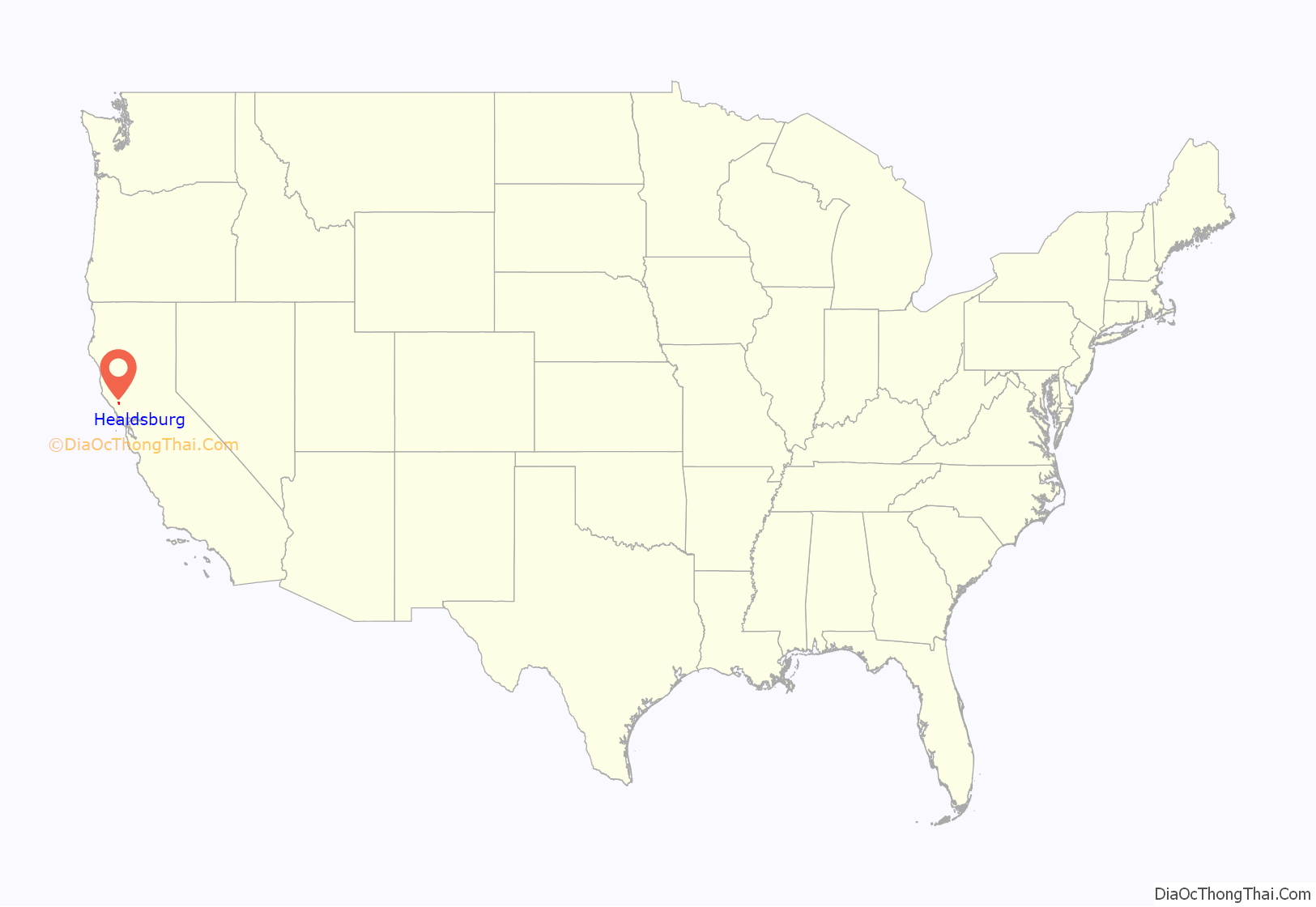
Healdsburg location map. Where is Healdsburg city?
History
Early inhabitants of the local area included the Pomo people, who constructed villages in open areas along the Russian River. Anglo-American and Russian settlement may have commenced in the mid-19th century, with a settlement nearby, established downstream along the Russian River near Graton, in 1836, and later the Rancho Sotoyome land grant, in 1844.
In 1857, Harmon Heald, an Ohio businessman who had been squatting on Rancho Sotoyome since 1850, purchased part of the rancho—giving the city its official founding date. In 1867, Heald’s eponymous small town was incorporated. Healdsburg is located within the former township of Mendocino. The San Francisco and North Pacific Railroad reached Healdsburg in 1872.
The Healdsburg Carnegie Library, now the Healdsburg Museum, is listed on the National Register of Historic Places, as is the Healdsburg Memorial Bridge.
The City Council of Healdsburg has identified 13 important Historic Structures and Districts.
Farming, especially orchards and truck farms, was common within the present city limits from at least the 1890s to 1940s.
Healdsburg Road Map
Healdsburg city Satellite Map
Geography
The city has a total area of 4.464 sq mi (11.6 km), of which 4.457 sq mi (11.5 km) is land and 0.007 sq mi (0.0 km) is water. The total area is 0.15% water. It lies on the Russian River, near a point used as a crossing of the river since the 1850s that is now the site of the Healdsburg Memorial Bridge.
Foss Creek traverses the city from north to south, flowing into Dry Creek near the U.S. 101 Central Healdsburg interchange.
Climate
Healdsburg has cool, wet winters and warm to hot, dry summers. In January, the average high temperature is 57.6 °F (14.2 °C) and the average low is 38 °F (3 °C). In July, the average high temperature is 88.8 °F (31.6 °C) and the average low is 52.7 °F (11.5 °C). There are an average of 54.6 days with highs of 90 °F (32 °C) or higher and an average of 20.1 days with lows of 32 °F (0 °C) or lower. The record high temperature was 117 °F (47 °C) on September 6, 2022, and the record low temperature was 14 °F (−10 °C) on December 22, 1990.
Annual precipitation averages 42.2 in (1,070 mm). There are an average of 73 days annually with measurable precipitation. The wettest year was 1983 with 96.25 in (2,445 mm) and the driest year was 1976 with 13.67 in (347 mm). The most precipitation in one month was 29.9 in (760 mm) in January 1995. The most precipitation in 24 hours was 8.18 in (208 mm) on December 3, 1980. Snow is relatively rare, with none in most years. The highest yearly snowfall totaled 0.8 in (20 mm) in 1976.
Environment
An intrinsic element of the city’s natural environment is the riparian zone associated with the Russian River that flows through Healdsburg. The city owns two open space reserves stewarded by LandPaths. The Healdsburg Ridge Open Space Preserve has 150 acres (61 ha) of wetlands, oak woodlands, chaparral, and grasslands, while the Fitch Mountain Open Space Preserve has 173 acres (70 ha). City residents support recycling by use of the Healdsburg Transfer Station. The city has shown an interest in creating a quiet environment by creating a Noise Element of the General Plan, which defines baseline sound level contours and sets forth standards of quiet for each land use category.
See also
Map of California State and its subdivision:- Alameda
- Alpine
- Amador
- Butte
- Calaveras
- Colusa
- Contra Costa
- Del Norte
- El Dorado
- Fresno
- Glenn
- Humboldt
- Imperial
- Inyo
- Kern
- Kings
- Lake
- Lassen
- Los Angeles
- Madera
- Marin
- Mariposa
- Mendocino
- Merced
- Modoc
- Mono
- Monterey
- Napa
- Nevada
- Orange
- Placer
- Plumas
- Riverside
- Sacramento
- San Benito
- San Bernardino
- San Diego
- San Francisco
- San Joaquin
- San Luis Obispo
- San Mateo
- Santa Barbara
- Santa Clara
- Santa Cruz
- Shasta
- Sierra
- Siskiyou
- Solano
- Sonoma
- Stanislaus
- Sutter
- Tehama
- Trinity
- Tulare
- Tuolumne
- Ventura
- Yolo
- Yuba
- Alabama
- Alaska
- Arizona
- Arkansas
- California
- Colorado
- Connecticut
- Delaware
- District of Columbia
- Florida
- Georgia
- Hawaii
- Idaho
- Illinois
- Indiana
- Iowa
- Kansas
- Kentucky
- Louisiana
- Maine
- Maryland
- Massachusetts
- Michigan
- Minnesota
- Mississippi
- Missouri
- Montana
- Nebraska
- Nevada
- New Hampshire
- New Jersey
- New Mexico
- New York
- North Carolina
- North Dakota
- Ohio
- Oklahoma
- Oregon
- Pennsylvania
- Rhode Island
- South Carolina
- South Dakota
- Tennessee
- Texas
- Utah
- Vermont
- Virginia
- Washington
- West Virginia
- Wisconsin
- Wyoming
