Holtville (formerly, Holton) is a city in Imperial County, California. Holtville is located 10.5 miles (17 km) east of El Centro. The population was 5,939 at the 2010 census, up from 5,612 in 2000.
| Name: | Holtville city |
|---|---|
| LSAD Code: | 25 |
| LSAD Description: | city (suffix) |
| State: | California |
| County: | Imperial County |
| Incorporated: | July 1, 1908 |
| Elevation: | −10 ft (−3 m) |
| Total Area: | 1.16 sq mi (3.00 km²) |
| Land Area: | 1.15 sq mi (2.99 km²) |
| Water Area: | 0.01 sq mi (0.01 km²) 0.40% |
| Total Population: | 5,939 |
| Population Density: | 5,737.44/sq mi (2,215.75/km²) |
| ZIP code: | 92250 |
| FIPS code: | 0634246 |
| Website: | www.holtville.ca.gov |
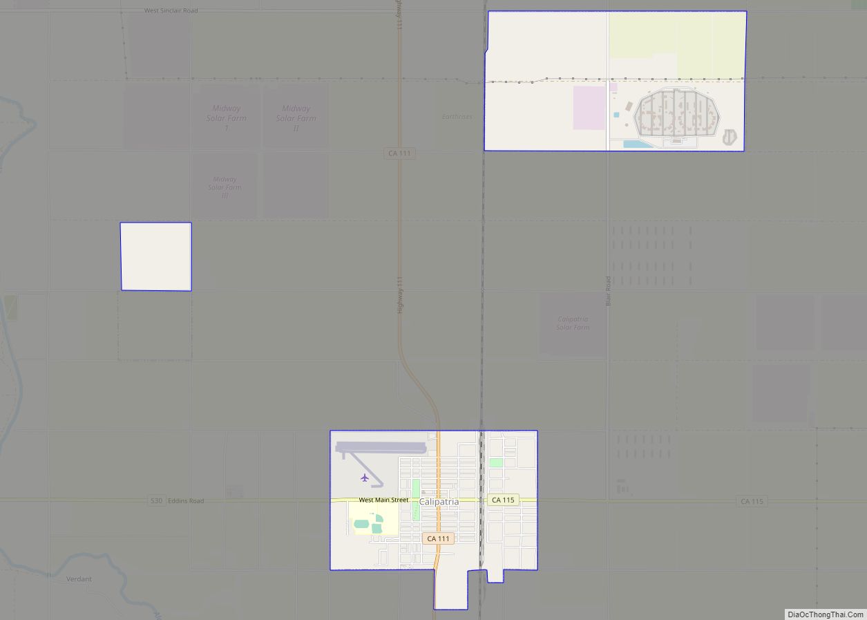
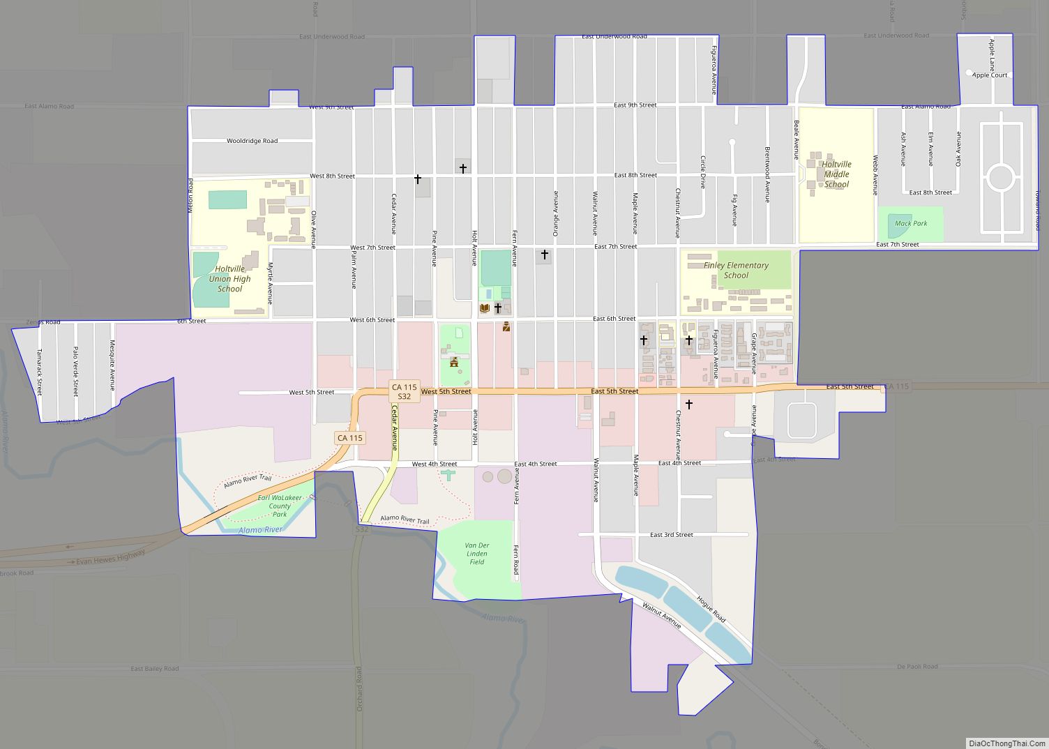
Online Interactive Map
Click on ![]() to view map in "full screen" mode.
to view map in "full screen" mode.
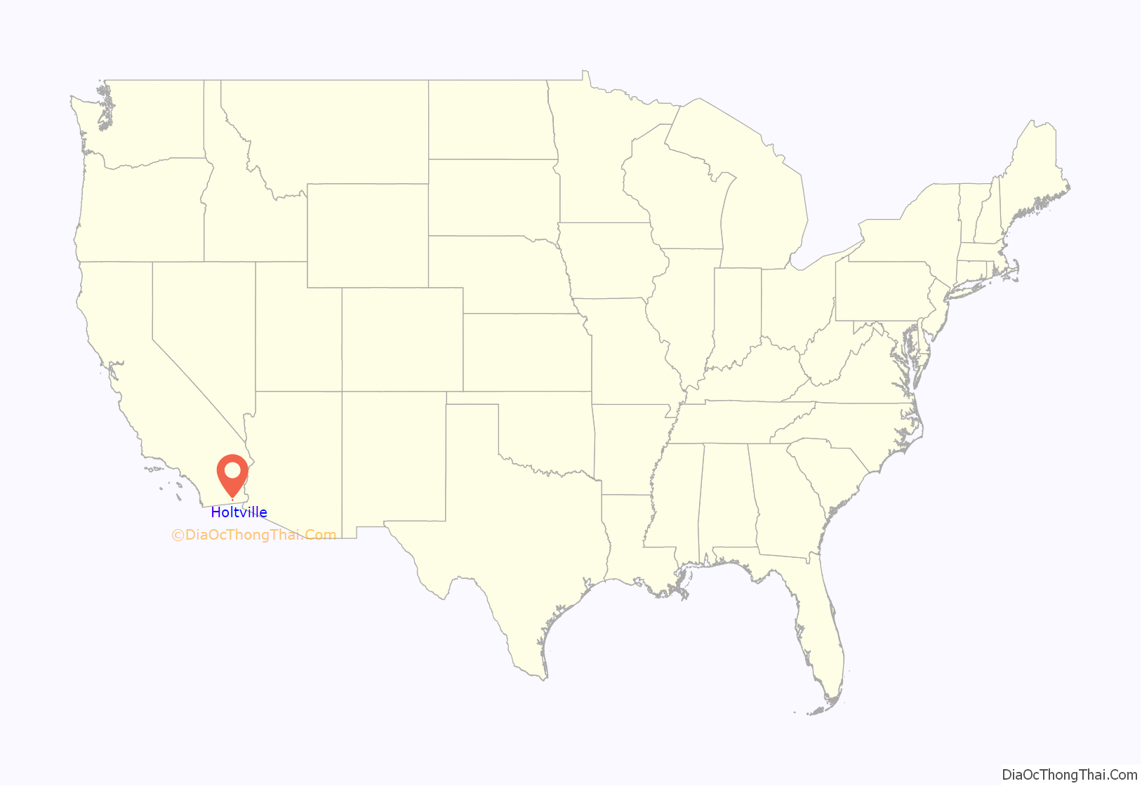
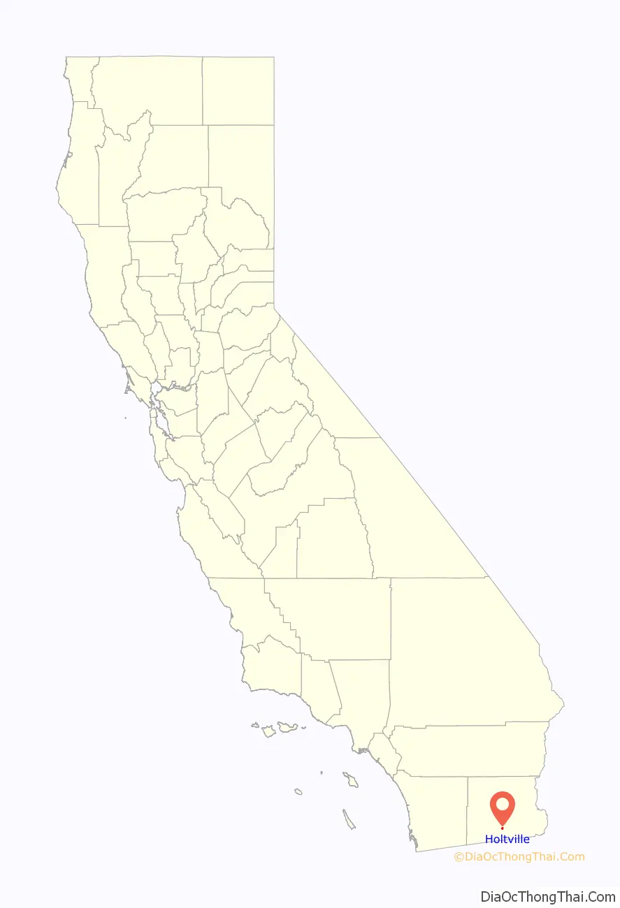
Holtville location map. Where is Holtville city?
History
The city was founded in the 1880s by Swiss-German settlers, many of whom entered from Mexico. The construction of railroads in the 1890s, the All-American Canal in the late 1940s, and U.S. Route 80 in the 1920s (later converted to Interstate 8 in the 1970s) and the North American Free Trade Agreement (NAFTA) economic boom in the 1990s brought more people to Holtville and the Imperial Valley.
The city of Holtville, which was originally called Holton, was founded in 1903 by W.F. Holt, and incorporated on June 20, 1908. The name was changed to Holtville due to a request by the U. S. Postal Service because the name Holton sounded too much like Colton (in San Bernardino County), the regional headquarters of the Southern Pacific Railroad at the time. The name honors W.F. Holt, founder of the community.
The city lies on the northeast bank of the Alamo River, one of two rivers that flow north from Mexico into Imperial County.
On March 2, 2021, 13 people were killed just outside of town when an SUV carrying 25 people collided with a semi-truck and trailer.
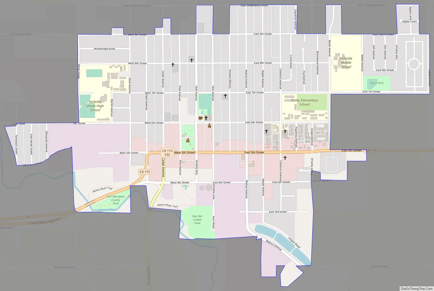
Holtville Road Map
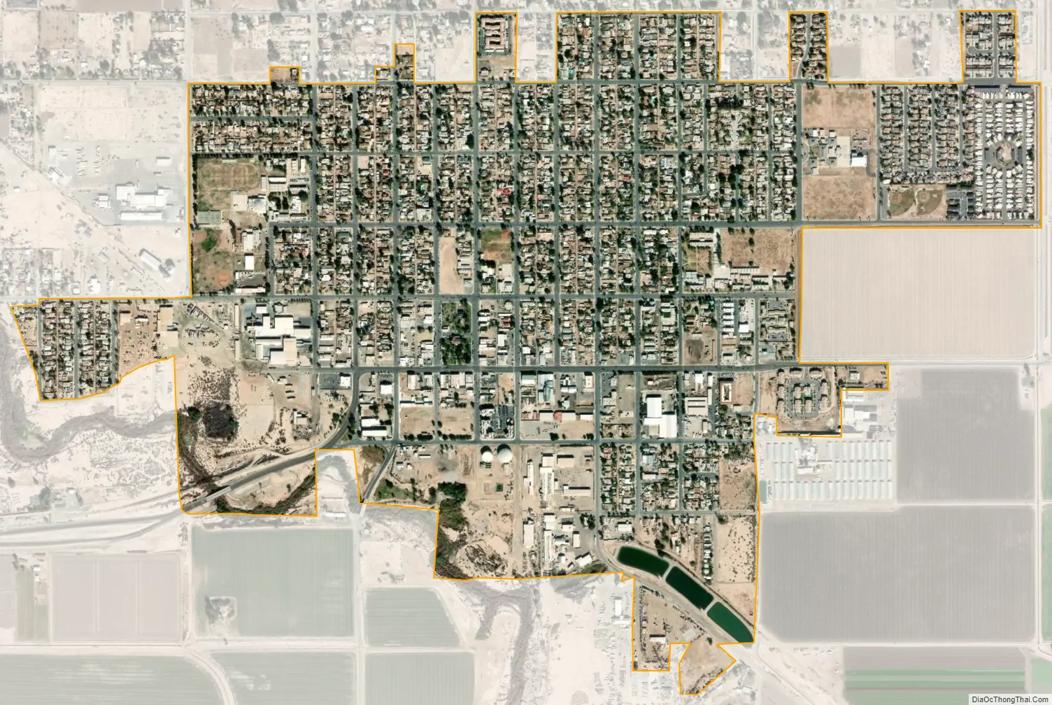
Holtville city Satellite Map
Geography
According to the United States Census Bureau, the city has a total area of 1.1 sq mi (2.8 km), with 1.1 square miles land and 0.40% water.
Climate
This area has a large amount of sunshine year round due to its stable descending air and high pressure. According to the Köppen Climate Classification system, Holtville has a desert climate, abbreviated “Bwh” on climate maps.
See also
Map of California State and its subdivision:- Alameda
- Alpine
- Amador
- Butte
- Calaveras
- Colusa
- Contra Costa
- Del Norte
- El Dorado
- Fresno
- Glenn
- Humboldt
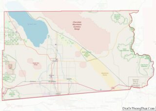
- Imperial
- Inyo
- Kern
- Kings
- Lake
- Lassen
- Los Angeles
- Madera
- Marin
- Mariposa
- Mendocino
- Merced
- Modoc
- Mono
- Monterey
- Napa
- Nevada
- Orange
- Placer
- Plumas
- Riverside
- Sacramento
- San Benito
- San Bernardino
- San Diego
- San Francisco
- San Joaquin
- San Luis Obispo
- San Mateo
- Santa Barbara
- Santa Clara
- Santa Cruz
- Shasta
- Sierra
- Siskiyou
- Solano
- Sonoma
- Stanislaus
- Sutter
- Tehama
- Trinity
- Tulare
- Tuolumne
- Ventura
- Yolo
- Yuba
- Alabama
- Alaska
- Arizona
- Arkansas
- California
- Colorado
- Connecticut
- Delaware
- District of Columbia
- Florida
- Georgia
- Hawaii
- Idaho
- Illinois
- Indiana
- Iowa
- Kansas
- Kentucky
- Louisiana
- Maine
- Maryland
- Massachusetts
- Michigan
- Minnesota
- Mississippi
- Missouri
- Montana
- Nebraska
- Nevada
- New Hampshire
- New Jersey
- New Mexico
- New York
- North Carolina
- North Dakota
- Ohio
- Oklahoma
- Oregon
- Pennsylvania
- Rhode Island
- South Carolina
- South Dakota
- Tennessee
- Texas
- Utah
- Vermont
- Virginia
- Washington
- West Virginia
- Wisconsin
- Wyoming