Hopland (formerly Sanel) is a census-designated place in Mendocino County, California, United States. It is located on the west bank of the Russian River 13 miles (21 km) south-southeast of Ukiah, in the Sanel Valley, at an elevation of 502 feet (153 m). The population was 661 at the 2020 census, down from 756 at the 2010 census.
Hopland is located at the start of the North Coast or Redwood Coast region of Northern California. It is 100 miles (161 km) north of San Francisco along U.S. Route 101 and a 30-minute drive (17 miles [27 km] east along State Route 175) to California’s largest natural lake, Clear Lake. Hopland is a rustic farming community situated among oak-covered coastal foothills. Summer temperatures can exceed 100 °F (38 °C).
Historic buildings in town include the old Hopland High School (c. 1923–1965), currently the Brutocao Cellars tasting room; as well as the Thatcher Hotel, built in the late 1800s and recently reopened after undergoing a complete renovation. Other establishments in Hopland include Cafe Poppy, The Golden Pig, Hopland Tap House, Brutocao Cellars, Saracina Winery, Campovida Winery and Fetzer Vineyards, a major producer of both red and white wines in North America, including Zinfandel, Chardonnay and Merlot.
Approximately 5 mi (8 km) east of Hopland is the University of California’s Hopland Research and Extension Center (formerly called the “Hopland Field Station”), a 5,300-acre (21.4 km) research and education facility that UC has operated since 1951.
| Name: | Hopland CDP |
|---|---|
| LSAD Code: | 57 |
| LSAD Description: | CDP (suffix) |
| State: | California |
| County: | Mendocino County |
| Elevation: | 502 ft (153 m) |
| Total Area: | 3.573 sq mi (9.25 km²) |
| Land Area: | 3.525 sq mi (9.13 km²) |
| Water Area: | 0.048 sq mi (0.12 km²) 1.35% |
| Total Population: | 661 |
| Population Density: | 180/sq mi (71/km²) |
| ZIP code: | 95449 |
| Area code: | 707 |
| FIPS code: | 0634652 |
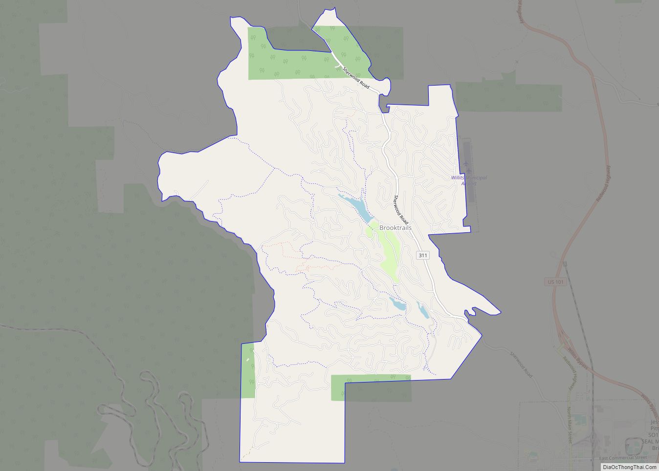
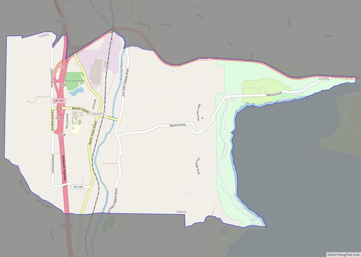
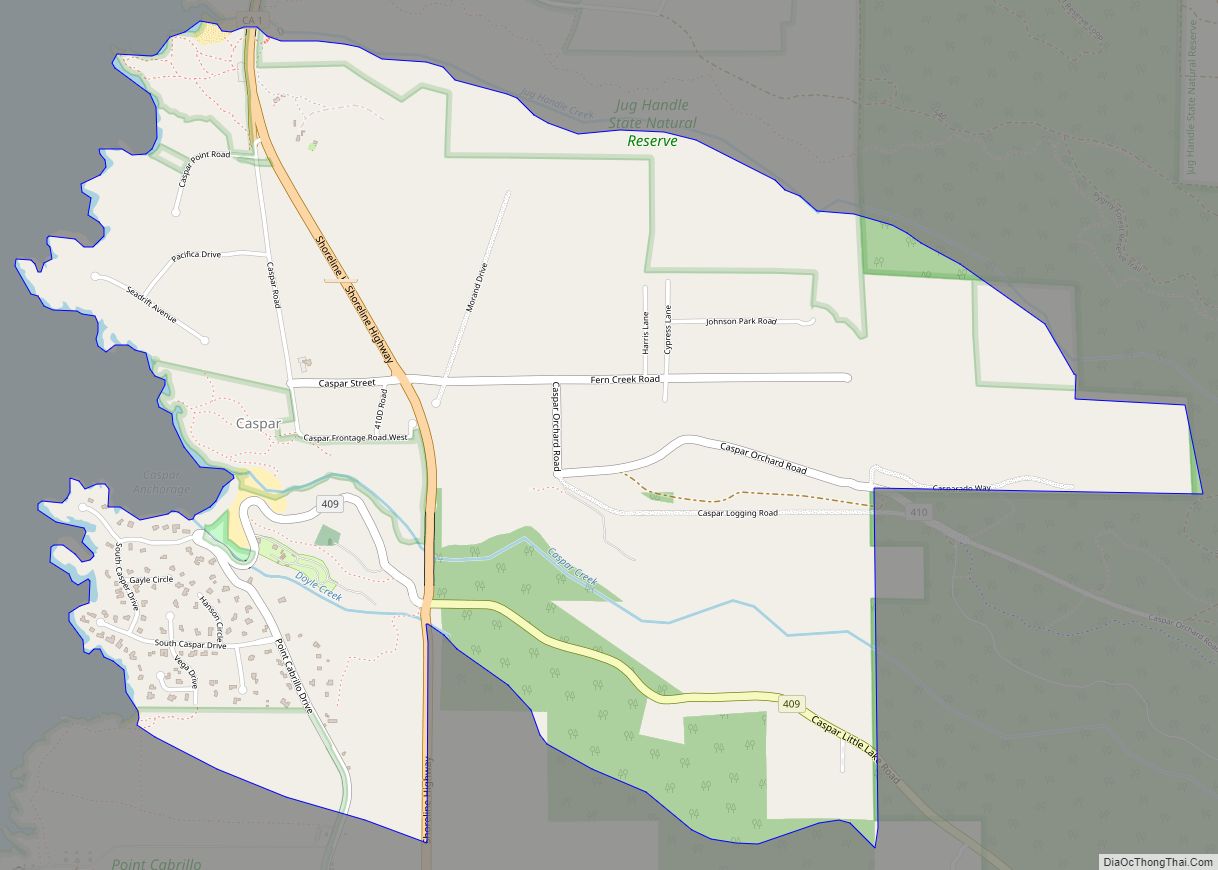
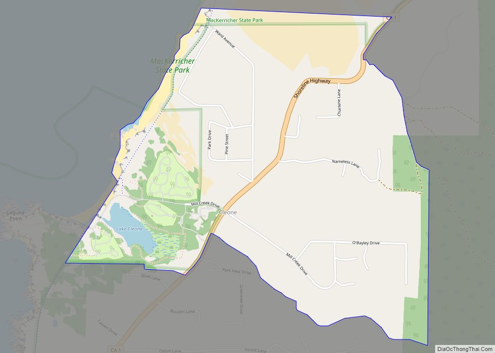
Online Interactive Map
Click on ![]() to view map in "full screen" mode.
to view map in "full screen" mode.
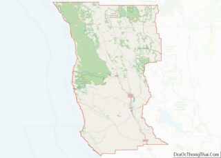
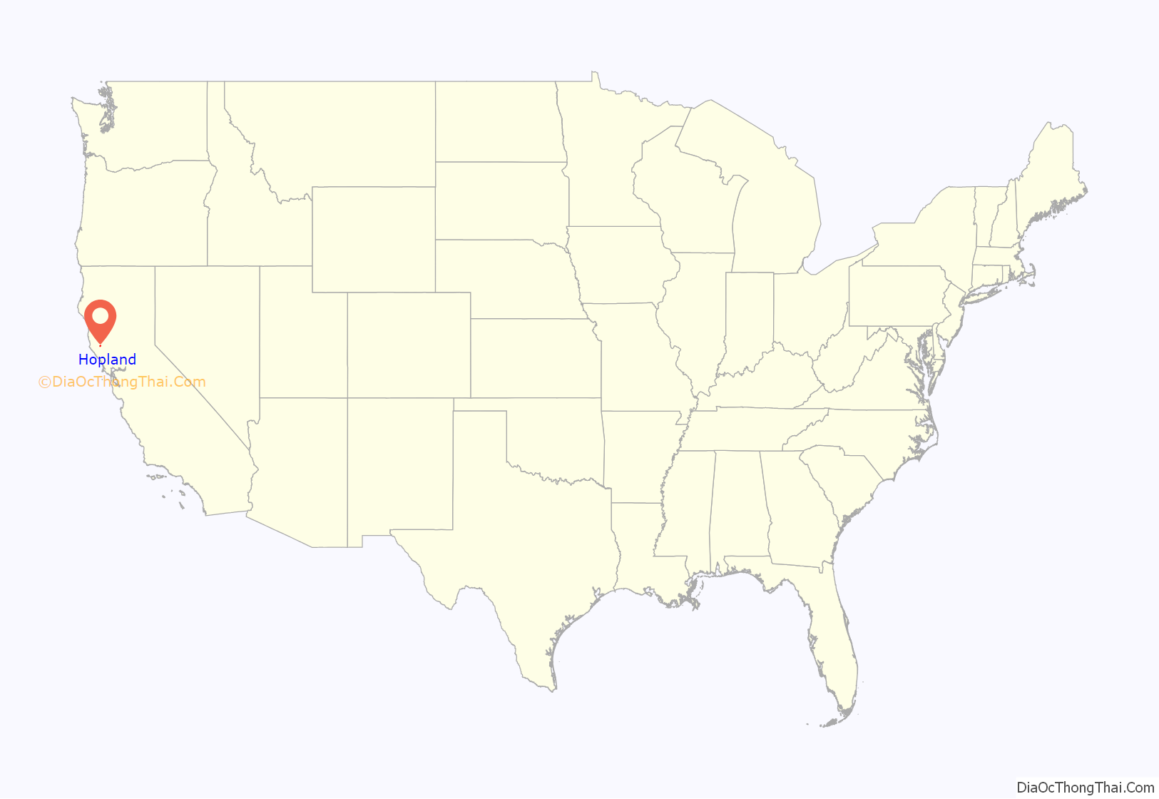
Hopland location map. Where is Hopland CDP?

History
The Hopland Band of Pomo Indians, or Sho-Ka-Wah are Central Pomo people who have lived in Hopland since “the beginning of time”. The Sho-Ka-Wah lived their lives hunting, gathering, making, practicing spirituality and generally living their lives. Their main village, population 1500, was called “Shanel”. After the settlers came, they were forced to move, and then to move again. Today most of the Sho-Ka-Wah people live in the Hopland reservation 5 miles east of Hopland. They have a gambling facility and other businesses to support their community. The community also engages in spirituality, dance traditions, and caring for the land.
The settlement that became Hopland was originally called “Sanel”. Over the years it was centered on either side of the Russian River. Sanel began on the west bank of the river in 1859. In 1874, the town moved to the east bank to be connected to the toll road built to there. When the railroad arrived on the west side of the river, the town moved back to its original site, leaving Old Hopland (38°58′33″N 123°06′01″W / 38.97583°N 123.10028°W / 38.97583; -123.10028) on the east bank.
The Sanel post office opened in 1860, closed for a time in 1869, moved and changed its name to Hopland in 1879, reverted to its original site and name in 1890, and finally changed its name back to Hopland in 1891. The town gets its name from the fact that from the 1870s to the mid-1950s, much of the region’s economy was based on the growing and drying of bitter hops, a key flavoring and preservative in beer. This began in 1868 when L.F. Long established the first hop farm some 4 miles (6 km) east, where the railroad station called Largo (Spanish for “long”) was later located. Downy mildew pushed hops out of the area completely by the late 1950s.
Hopland Road Map

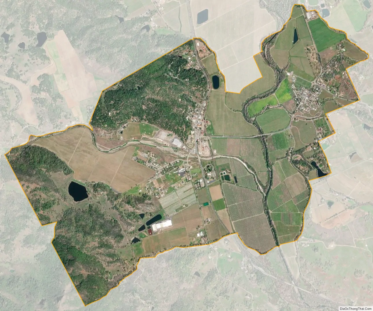
Hopland city Satellite Map
Geography
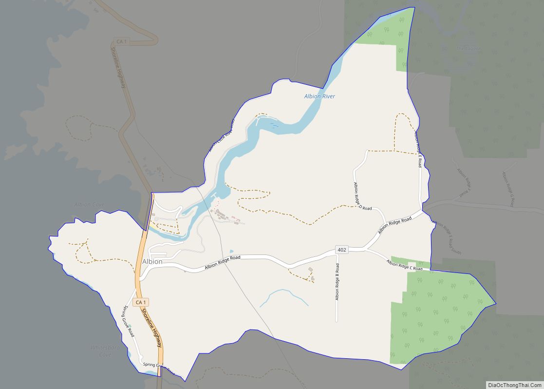
Hopland is in southeastern Mendocino County, along U.S. Route 101, which leads north-northwest 14 miles (23 km) to Ukiah, the county seat, and southeast 46 miles (74 km) to Santa Rosa, the Sonoma County seat. According to the United States Census Bureau, the Hopland CDP covers an area of 3.6 square miles (9.3 km), 98.65% of it land, and 1.35% of it water. The Russian River flows southward through the eastern side of the community, separating the main village of Hopland from Old Hopland, also part of the CDP, on the eastern side of the river.
See also
Map of California State and its subdivision:- Alameda
- Alpine
- Amador
- Butte
- Calaveras
- Colusa
- Contra Costa
- Del Norte
- El Dorado
- Fresno
- Glenn
- Humboldt
- Imperial
- Inyo
- Kern
- Kings
- Lake
- Lassen
- Los Angeles
- Madera
- Marin
- Mariposa
- Mendocino
- Merced
- Modoc
- Mono
- Monterey
- Napa
- Nevada
- Orange
- Placer
- Plumas
- Riverside
- Sacramento
- San Benito
- San Bernardino
- San Diego
- San Francisco
- San Joaquin
- San Luis Obispo
- San Mateo
- Santa Barbara
- Santa Clara
- Santa Cruz
- Shasta
- Sierra
- Siskiyou
- Solano
- Sonoma
- Stanislaus
- Sutter
- Tehama
- Trinity
- Tulare
- Tuolumne
- Ventura
- Yolo
- Yuba
- Alabama
- Alaska
- Arizona
- Arkansas
- California
- Colorado
- Connecticut
- Delaware
- District of Columbia
- Florida
- Georgia
- Hawaii
- Idaho
- Illinois
- Indiana
- Iowa
- Kansas
- Kentucky
- Louisiana
- Maine
- Maryland
- Massachusetts
- Michigan
- Minnesota
- Mississippi
- Missouri
- Montana
- Nebraska
- Nevada
- New Hampshire
- New Jersey
- New Mexico
- New York
- North Carolina
- North Dakota
- Ohio
- Oklahoma
- Oregon
- Pennsylvania
- Rhode Island
- South Carolina
- South Dakota
- Tennessee
- Texas
- Utah
- Vermont
- Virginia
- Washington
- West Virginia
- Wisconsin
- Wyoming