Hornitos (Spanish for “Little ovens”) is a census-designated place in Mariposa County, California, United States. It is located on Burns Creek 25 miles (40 km) by road south of Coulterville, at an elevation of 843 feet (257 m). The population was 38 at the 2020 census, down from 75 at the 2010 census.
The town is featured in the 1962 film Ride the High Country as the nearest town for active mining in the nearby mountains.
| Name: | Hornitos CDP |
|---|---|
| LSAD Code: | 57 |
| LSAD Description: | CDP (suffix) |
| State: | California |
| County: | Mariposa County |
| Elevation: | 843 ft (257 m) |
| Total Area: | 1.154 sq mi (2.99 km²) |
| Land Area: | 1.154 sq mi (2.99 km²) |
| Water Area: | 0 sq mi (0 km²) 0% |
| Total Population: | 38 |
| Population Density: | 33/sq mi (13/km²) |
| ZIP code: | 95325 |
| FIPS code: | 0634708 |
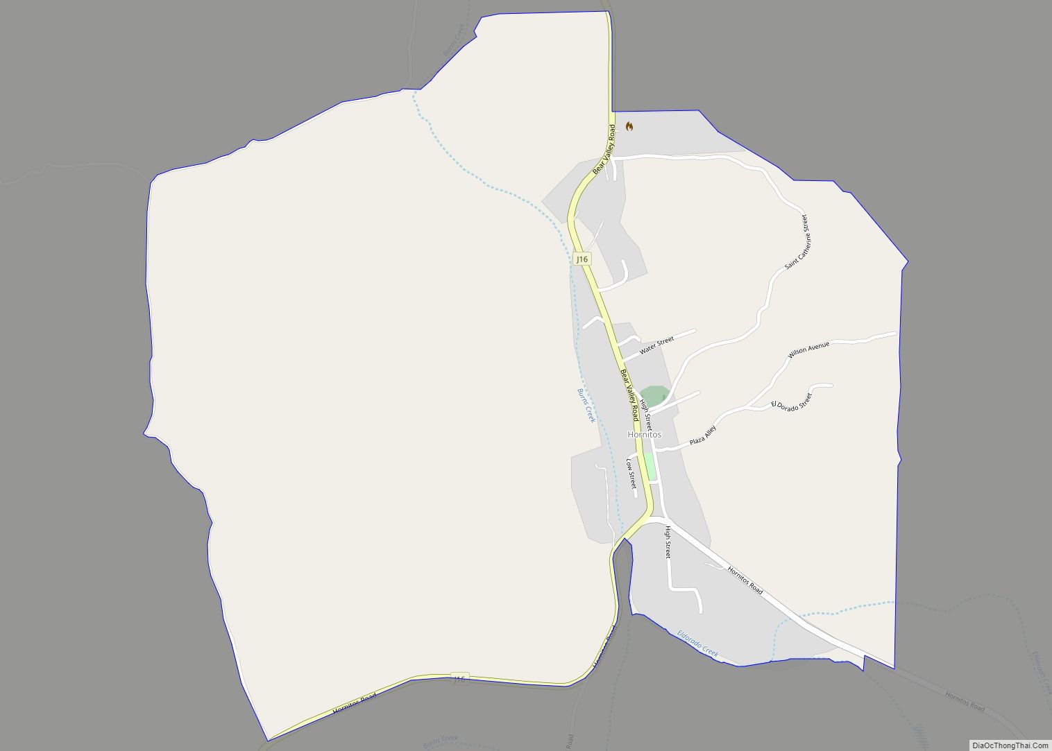
Online Interactive Map
Click on ![]() to view map in "full screen" mode.
to view map in "full screen" mode.
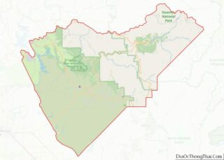
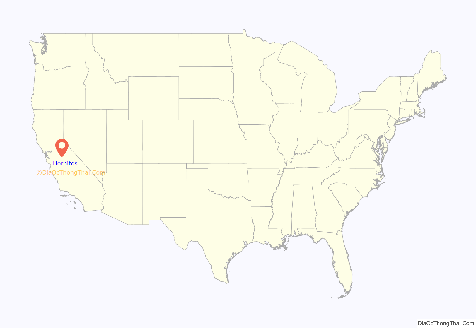
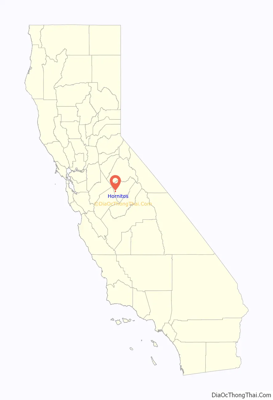
Hornitos location map. Where is Hornitos CDP?
History
The Hornitas post office opened in 1856 and changed its name to Hornitos in 1877. The name, meaning “little ovens” in Spanish, was derived from the community’s old Mexican tombstones that were built in the shape of little square bake ovens. Hornitos is registered as California Historical Landmark #333.
Domingo Ghirardelli had a general store here between 1856 and 1859, where he perfected his chocolate recipes. The remains of the store can still be seen in town.
Hornitos was disincorporated by state statute in 1973.
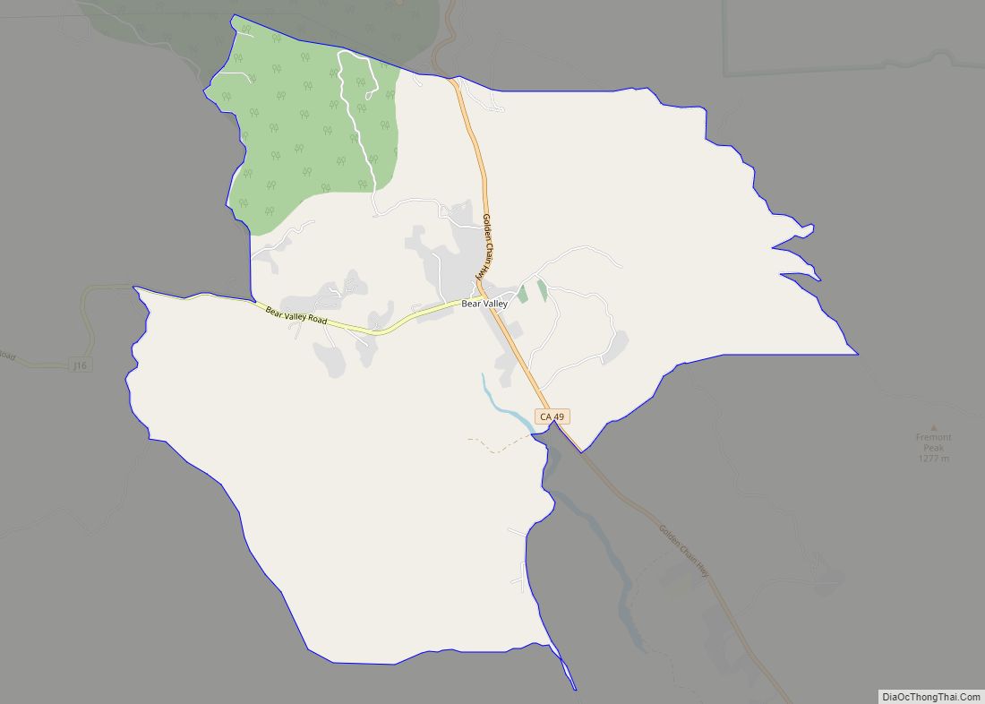
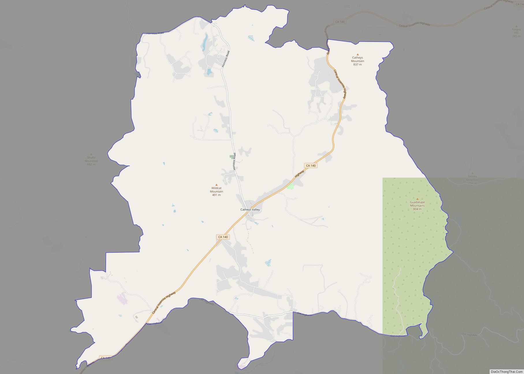
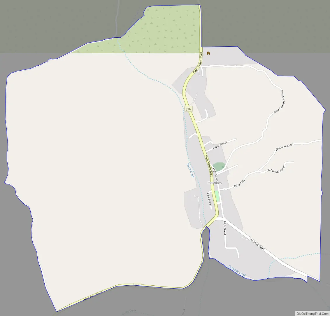
Hornitos Road Map
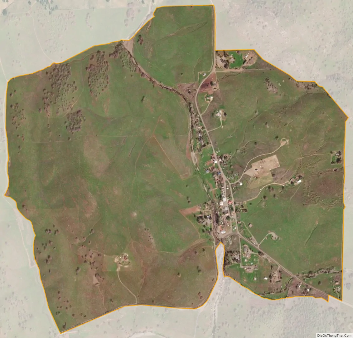
Hornitos city Satellite Map
Geography
Hornitos is in western Mariposa County, 18 miles (29 km) west of Mariposa, the county seat, and 31 miles (50 km) northeast of Merced. According to the United States Census Bureau, the CDP covers an area of 1.15 square miles (3.0 km), all of it land. Burns Creek flows through the center of town, running southwest to join Bear Creek, a tributary of the San Joaquin River, in Merced County.
See also
Map of California State and its subdivision:- Alameda
- Alpine
- Amador
- Butte
- Calaveras
- Colusa
- Contra Costa
- Del Norte
- El Dorado
- Fresno
- Glenn
- Humboldt
- Imperial
- Inyo
- Kern
- Kings
- Lake
- Lassen
- Los Angeles
- Madera
- Marin
- Mariposa
- Mendocino
- Merced
- Modoc
- Mono
- Monterey
- Napa
- Nevada
- Orange
- Placer
- Plumas
- Riverside
- Sacramento
- San Benito
- San Bernardino
- San Diego
- San Francisco
- San Joaquin
- San Luis Obispo
- San Mateo
- Santa Barbara
- Santa Clara
- Santa Cruz
- Shasta
- Sierra
- Siskiyou
- Solano
- Sonoma
- Stanislaus
- Sutter
- Tehama
- Trinity
- Tulare
- Tuolumne
- Ventura
- Yolo
- Yuba
- Alabama
- Alaska
- Arizona
- Arkansas
- California
- Colorado
- Connecticut
- Delaware
- District of Columbia
- Florida
- Georgia
- Hawaii
- Idaho
- Illinois
- Indiana
- Iowa
- Kansas
- Kentucky
- Louisiana
- Maine
- Maryland
- Massachusetts
- Michigan
- Minnesota
- Mississippi
- Missouri
- Montana
- Nebraska
- Nevada
- New Hampshire
- New Jersey
- New Mexico
- New York
- North Carolina
- North Dakota
- Ohio
- Oklahoma
- Oregon
- Pennsylvania
- Rhode Island
- South Carolina
- South Dakota
- Tennessee
- Texas
- Utah
- Vermont
- Virginia
- Washington
- West Virginia
- Wisconsin
- Wyoming