Merced (/mɜːrˈsɛd/; Spanish for “Mercy”) is a city in, and the county seat of, Merced County, California, United States, in the San Joaquin Valley. As of the 2020 Census, the city had a population of 86,333, up from 78,958 in 2010. Incorporated on April 1, 1889, Merced is a charter city that operates under a council–manager government. It is named after the Merced River, which flows nearby.
Merced, known as the “Gateway to Yosemite”, is less than two hours by automobile from Yosemite National Park to the east and Monterey Bay, the Pacific Ocean, and multiple beaches to the west. The community is served by the passenger rail service Amtrak, a minor, heavily subsidized airline through Merced Regional Airport, and three bus lines. It is approximately 110 miles (180 km) from Sacramento, 130 miles (210 km) from San Francisco, 55 miles (89 km) from Fresno, and 270 miles (430 km) from Los Angeles.
In 2005, the city became home to the 10th University of California campus, University of California, Merced (UC Merced), the first research university built in the U.S. in the 21st century.
| Name: | Merced city |
|---|---|
| LSAD Code: | 25 |
| LSAD Description: | city (suffix) |
| State: | California |
| County: | Merced County |
| Incorporated: | April 1, 1889 |
| Elevation: | 171 ft (52 m) |
| Total Area: | 23.25 sq mi (60.2 km²) |
| Land Area: | 23.25 sq mi (60.2 km²) |
| Water Area: | 0.00 sq mi (0.0 km²) 0% |
| Total Population: | 86,333 |
| Population Density: | 3,712.61/sq mi (1,433.45/km²) |
| ZIP code: | 95340–95341, 95344, 95348 |
| Area code: | 209 |
| FIPS code: | 0646898 |
| Website: | www.cityofmerced.org |
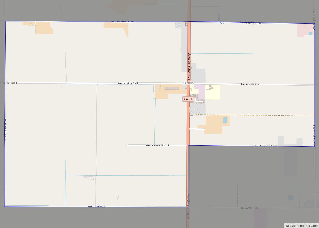
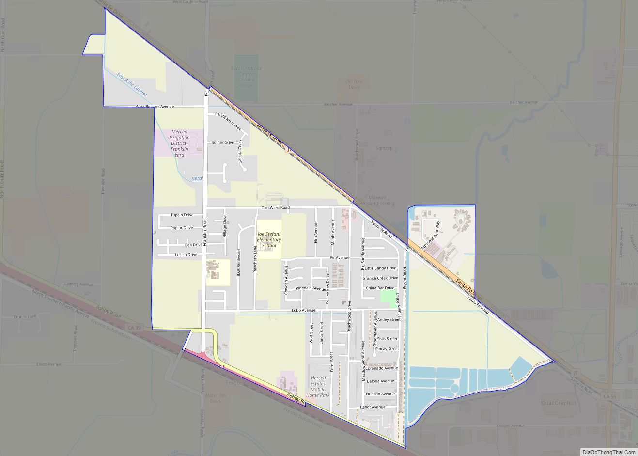
Online Interactive Map
Click on ![]() to view map in "full screen" mode.
to view map in "full screen" mode.
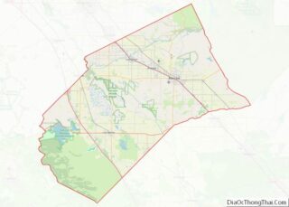
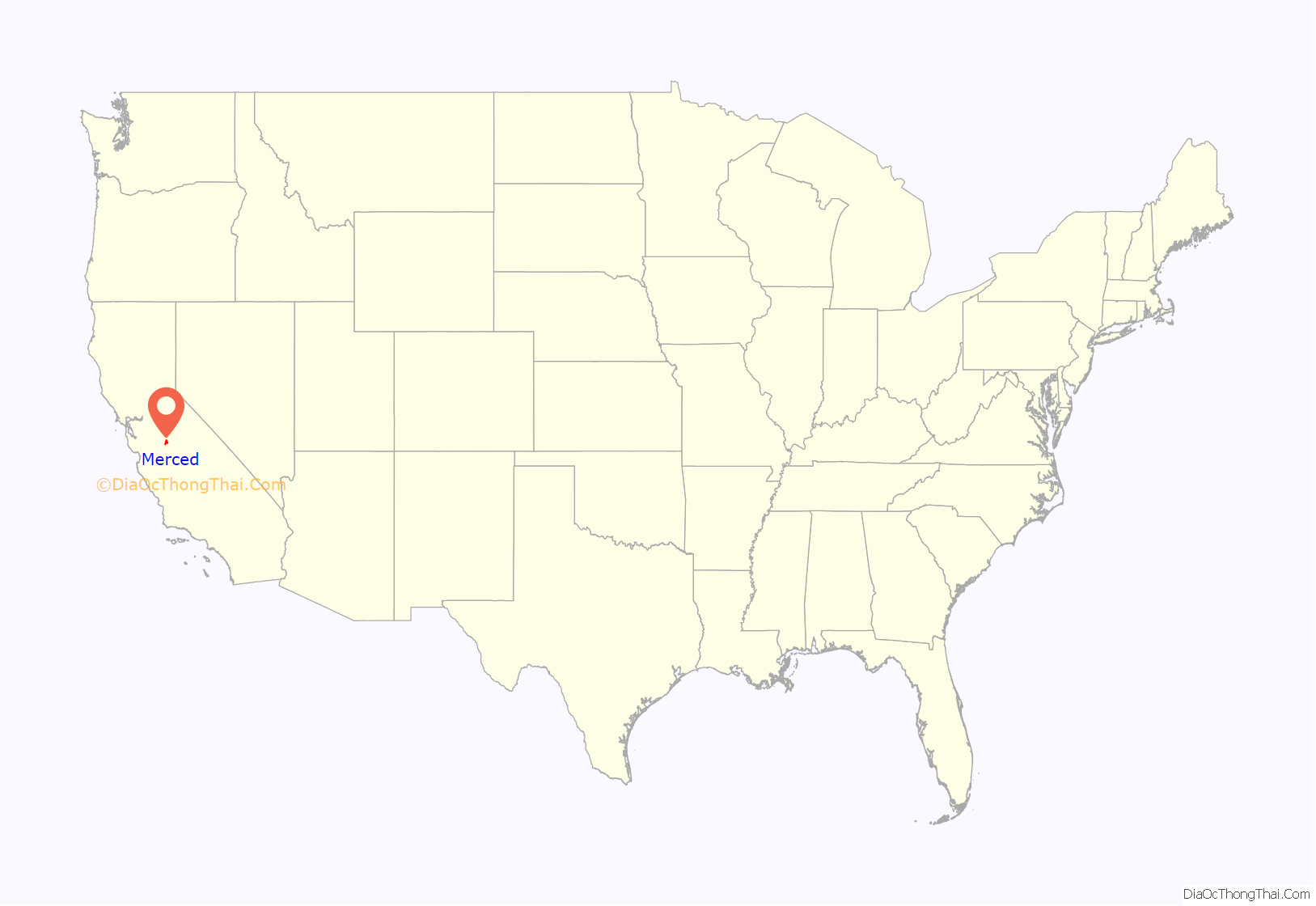
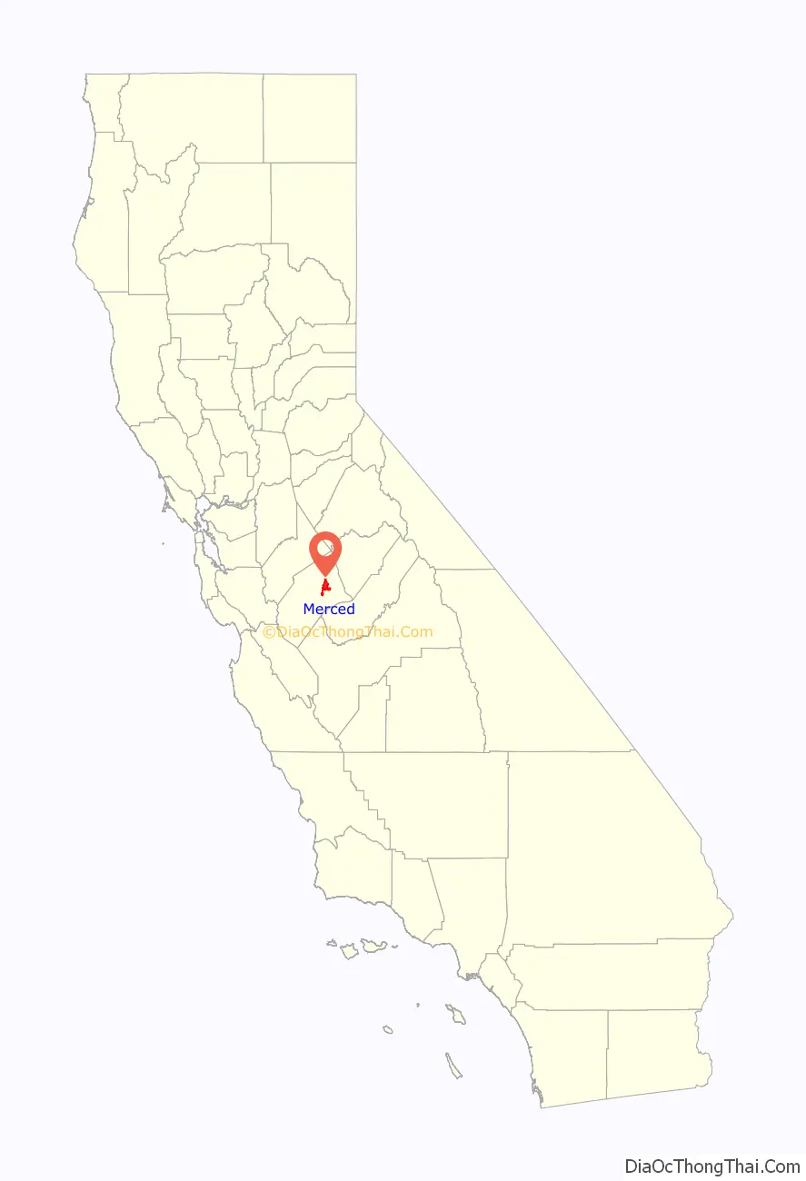
Merced location map. Where is Merced city?
History
The first Merced post office opened in 1870. Merced incorporated in 1889 and now operates under the council-manager form of government.
During World War II, the Merced County fairgrounds were the site of a temporary “assembly center” where Japanese Americans were detained after being removed from their West Coast homes under Executive Order 9066. 4,669 men, women and children from central California (with most coming from Merced County) were confined in the Merced Assembly Center from May 6 to September 15, 1942, when they were transferred to the more permanent Granada internment camp in Colorado.
Since 2005, Merced has been home to the University of California, Merced. Current recreational opportunities in the city include Regal Cinemas, Oh Wow Nickel Arcade, Rollerland, The Castle Air Museum, a zoo, a skate park and basketball court in Applegate park, The Mainzer Theater which is known for its historic and architectural value, the County Courthouse Museum circa 1889, the Merced Multicultural Arts Center and the County Library. Merced has several shopping areas including the Merced Mall, anchored by Target, JCPenney and Kohl’s, a strip mall located on the city’s northwest side which includes Barnes & Noble, Lowe’s, Walmart, and a few restaurants. Merced’s Main Street contains a movie theater, a music store, a shoe cobbler and other assorted shops.
Also within a short distance from the city limits are the Castle Air Museum, Lake Yosemite, and Merced Falls. The city of Merced along with its surrounding cities are serviced by the Merced Sun-Star and the Merced County Times. The Merced Sun-Star daily newspaper has a circulation of 14,219 daily and 18,569 Saturday in the Merced area. The paper was sold to U.S. Media in 1985 and was acquired by The McClatchy Company in January 2004.
Homes at the median level in Merced had lost 62% of their value from the second quarter of 2006, when they peaked at $336,743, the biggest drop anywhere in the country, according to data provided to Forbes by Local Market Monitor, a Cary, North-Carolina-based real-estate research firm. Home prices have since rebounded, with the median sale price in April 2018 at $247,000. The current average being $358,000. Terry Ruscoe of Merced-Yosemite Realty, noted investors from outside of the Valley were helping to drive up home prices. Ruscoe said, “A tremendous amount of out-of-town buyers. Our primary client comes from the LA area or the Bay Area. We see a lot of them coming in and buying properties, even coming in now when the prices are moving up quickly because they know they can rent those.”
The metro area went to a 14.2% unemployment rate in December 2013. Having since recovered to a rate of 8.7% in April 2018. Some efforts have been directed towards diversifying its economy and are showing a lowering trend in the overall unemployment rate, according to the Bureau of Labor Statistics.
During the Great Recession Merced suffered one of the greatest property price collapses in the country and house prices at the end of 2009 had fallen to 1998 levels, according to Zillow, making housing affordable compared to many other California locations.
The economy has traditionally relied upon agribusiness and upon the presence of Castle Air Force Base. Over the past twenty years, more diversified industry has entered the area, including printing, fiberglass boat building, warehousing and distribution, and packaging industries.
In September 1995, Castle Air Force Base closed after phasing down over the previous three years. This affected residential real estate and some sectors of the retail and service economies, but overall retail continued to increase. Industrial development is increasing in the area. It is now known as the Castle Airport Aviation and Development Center. The Castle Air Museum remains at the site.
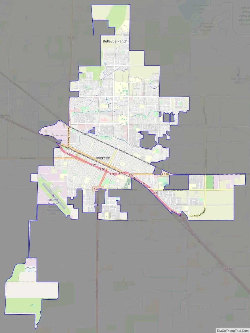
Merced Road Map
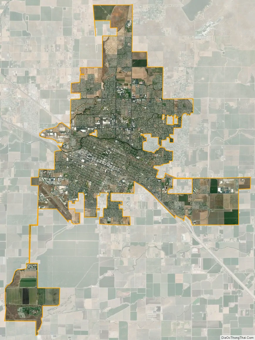
Merced city Satellite Map
Geography
According to the United States Census Bureau, the city has a total area of 23.3 square miles (60 km).
Merced is approximately 110 miles (180 km) southeast of San Francisco and 275 miles (443 km) northwest of Los Angeles.
A major groundwater plume containing the contaminant PCE was discovered in Merced in 1987. Subsequently, drilling of new water wells was severely restricted.
Climate
Merced has a cold semi-arid climate (Köppen: BSk), with its annual precipitation falling just short of a mediterranean climate. The city features very hot, dry summers and mild, wet winters. There are an average of 99.7 days with highs of 90 °F (32 °C) or higher and an average of 27.8 days with lows of 32 °F (0 °C) or lower. The record highest temperature of 116 °F (47 °C) was recorded on September 6, 2022. The record lowest temperature of 15 °F (−9 °C) was recorded on December 24, 1990.
The wettest year was 1998 with 21.98 inches (558 mm) and the driest year was 2013 with 3.79 inches (96 mm). The most rainfall in one month was 8.00 inches (203 mm) in January 1909. The most rainfall in 24 hours was 2.20 inches (56 mm), which occurred on January 30, 1911, and March 9, 1911.
See also
Map of California State and its subdivision:- Alameda
- Alpine
- Amador
- Butte
- Calaveras
- Colusa
- Contra Costa
- Del Norte
- El Dorado
- Fresno
- Glenn
- Humboldt
- Imperial
- Inyo
- Kern
- Kings
- Lake
- Lassen
- Los Angeles
- Madera
- Marin
- Mariposa
- Mendocino
- Merced
- Modoc
- Mono
- Monterey
- Napa
- Nevada
- Orange
- Placer
- Plumas
- Riverside
- Sacramento
- San Benito
- San Bernardino
- San Diego
- San Francisco
- San Joaquin
- San Luis Obispo
- San Mateo
- Santa Barbara
- Santa Clara
- Santa Cruz
- Shasta
- Sierra
- Siskiyou
- Solano
- Sonoma
- Stanislaus
- Sutter
- Tehama
- Trinity
- Tulare
- Tuolumne
- Ventura
- Yolo
- Yuba
- Alabama
- Alaska
- Arizona
- Arkansas
- California
- Colorado
- Connecticut
- Delaware
- District of Columbia
- Florida
- Georgia
- Hawaii
- Idaho
- Illinois
- Indiana
- Iowa
- Kansas
- Kentucky
- Louisiana
- Maine
- Maryland
- Massachusetts
- Michigan
- Minnesota
- Mississippi
- Missouri
- Montana
- Nebraska
- Nevada
- New Hampshire
- New Jersey
- New Mexico
- New York
- North Carolina
- North Dakota
- Ohio
- Oklahoma
- Oregon
- Pennsylvania
- Rhode Island
- South Carolina
- South Dakota
- Tennessee
- Texas
- Utah
- Vermont
- Virginia
- Washington
- West Virginia
- Wisconsin
- Wyoming