Huntington Park is a city located in the south central region of Los Angeles County, California.
As of the 2010 census, the city had a total population of 58,114, of whom 97% are Hispanic/Latino and about half were born outside the U.S.
In 2019, Huntington Park was ranked lowest in California and 10th-worst nationally on a so-called “misery index”, based on census data compiled by Business Insider, due to factors such as low household income. Nonetheless, Huntington Park and its Pacific Boulevard area are a busy and dynamic hub of the mostly Hispanic, working-class inner Southeast L.A. area.
| Name: | Huntington Park city |
|---|---|
| LSAD Code: | 25 |
| LSAD Description: | city (suffix) |
| State: | California |
| County: | Los Angeles County |
| Incorporated: | September 1, 1906 |
| Elevation: | 171 ft (52 m) |
| Total Area: | 3.02 sq mi (7.81 km²) |
| Land Area: | 3.01 sq mi (7.80 km²) |
| Water Area: | 0.00 sq mi (0.01 km²) 0.11% |
| Total Population: | 59,284 |
| Population Density: | 19,086.96/sq mi (7,370.63/km²) |
| ZIP code: | 90255 |
| Area code: | 323 |
| FIPS code: | 0636056 |
| Website: | www.huntingtonpark.org |
Online Interactive Map
Click on ![]() to view map in "full screen" mode.
to view map in "full screen" mode.
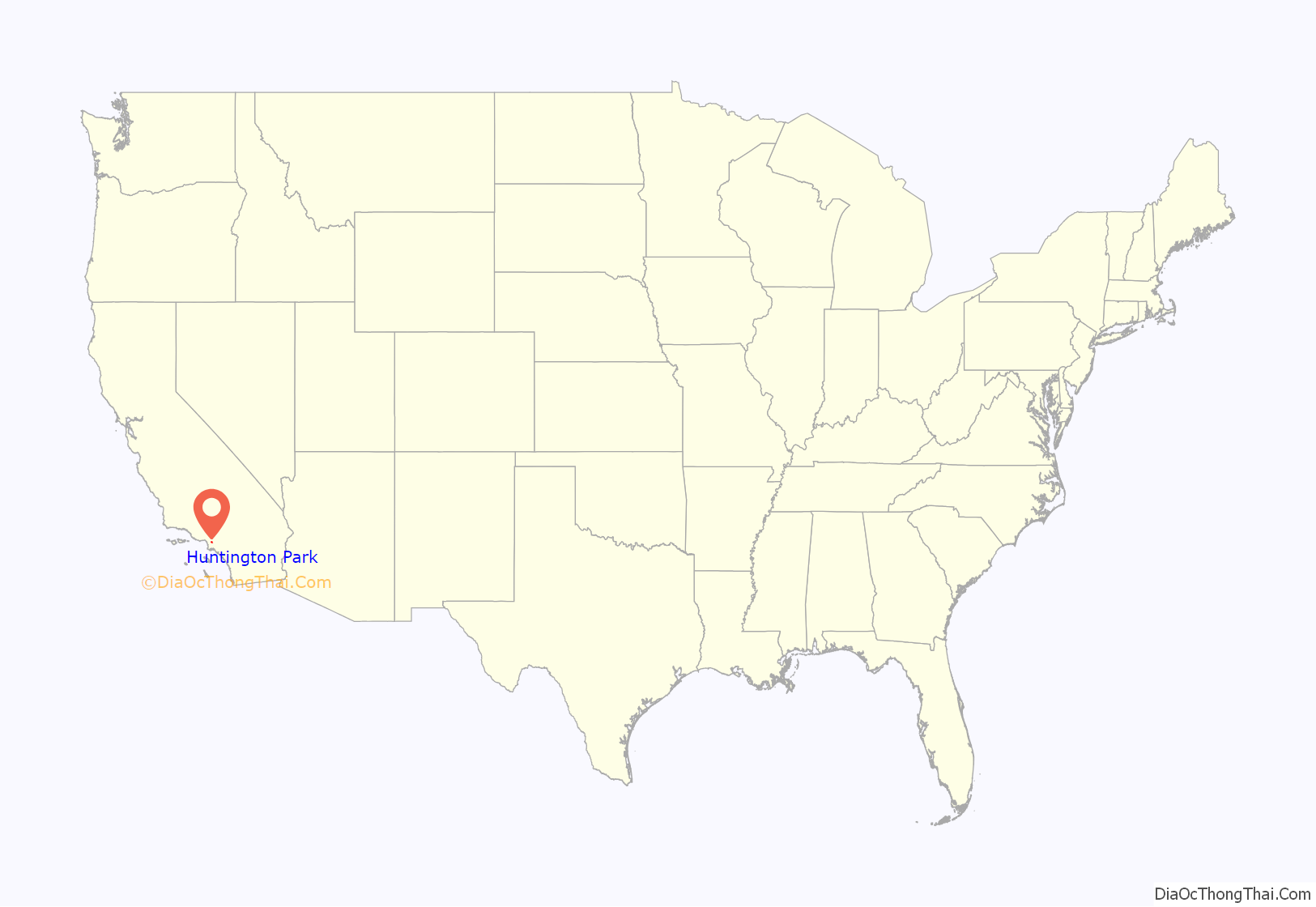
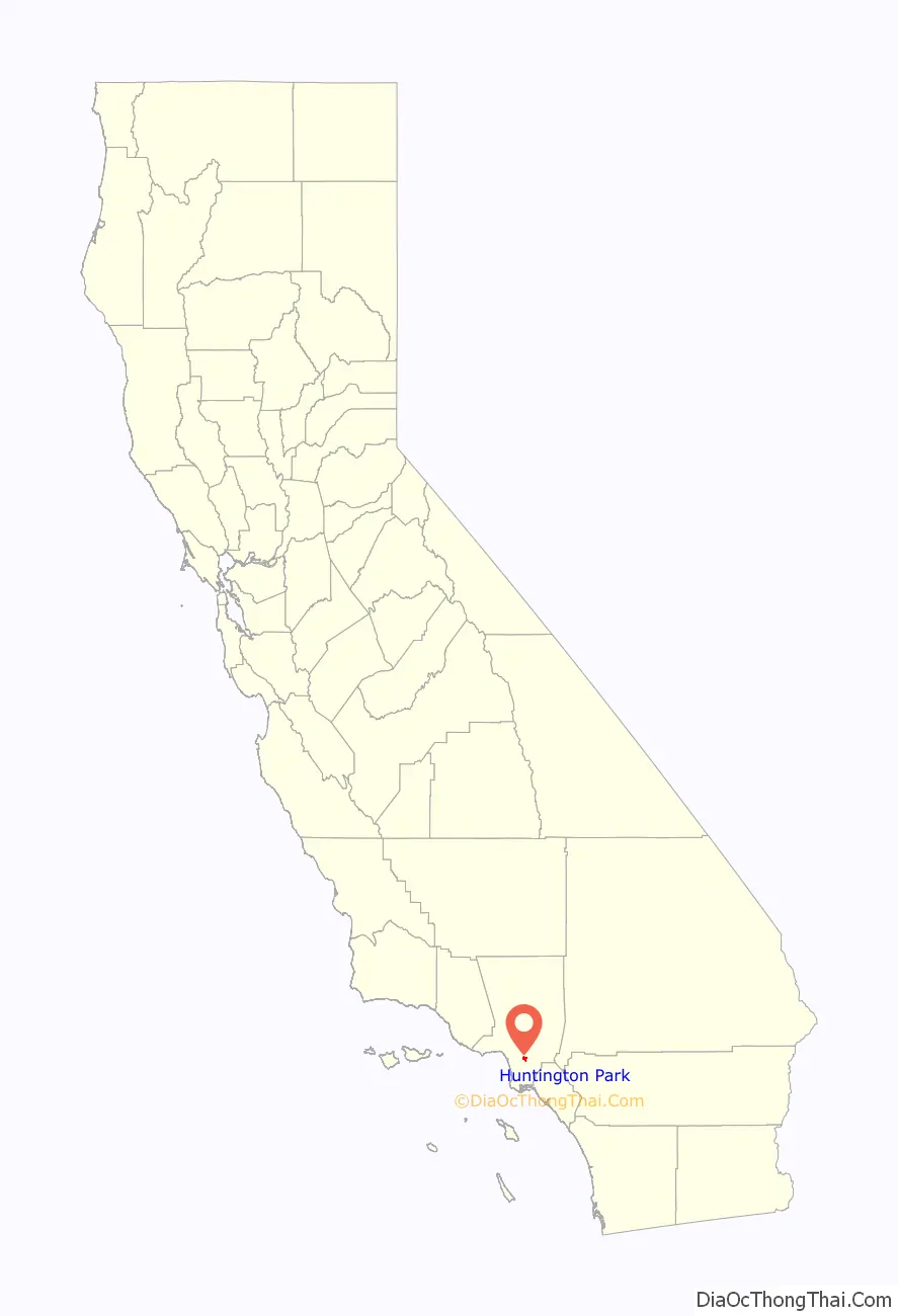
Huntington Park location map. Where is Huntington Park city?
History
Named for prominent industrialist Henry E. Huntington, Huntington Park was incorporated in 1906 as a streetcar suburb on the Los Angeles Railway for workers in the rapidly expanding industries to the southeast of downtown Los Angeles. To this day, about 30% of its residents work at factories in nearby Vernon and Commerce. The stretch of Pacific Boulevard in downtown Huntington Park was a major commercial district serving the city’s largely working-class residents as well as being the retail hub of Southeast Los Angeles County. As with most of the other cities along the corridor stretching along the Los Angeles River to the south and southeast of downtown Los Angeles, Huntington Park was an almost exclusively white community during most of its history; Alameda Street and Slauson Avenue, which were fiercely defended segregation lines in the 1950s, separated it from black areas.
The changes that shaped Los Angeles from the late 1970s onward—the decline of American manufacturing that began in the 1970s; the rapid growth of newer suburbs in Orange County, the eastern San Gabriel, western San Fernando and Conejo valleys; the collapse of the aerospace and defense industry at the end of the Cold War; and the implosion of the Southern California real estate boom in the early 1990s—resulted in the wholesale departure of virtually all of the white population of Huntington Park by the mid-1990s. The vacuum was filled almost entirely by two groups of Latinos: upwardly mobile families eager to leave the barrios of East Los Angeles, and recent Mexican immigrants. Today, Pacific Boulevard is once again a thriving commercial strip, serving as a major retail center for working-class residents of southeastern Los Angeles County—only now targeting a Hispanic public with many signs in Spanish.
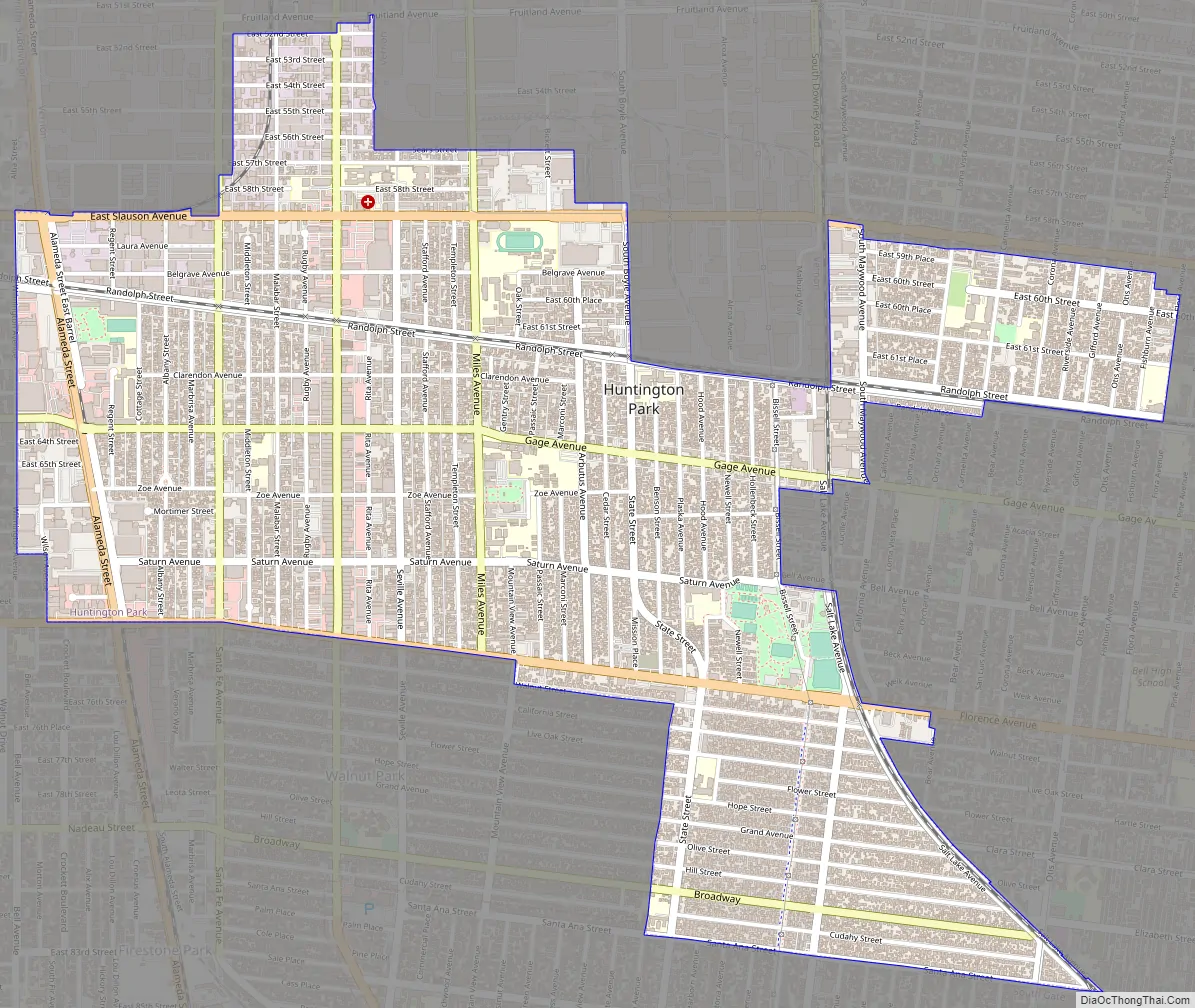
Huntington Park Road Map
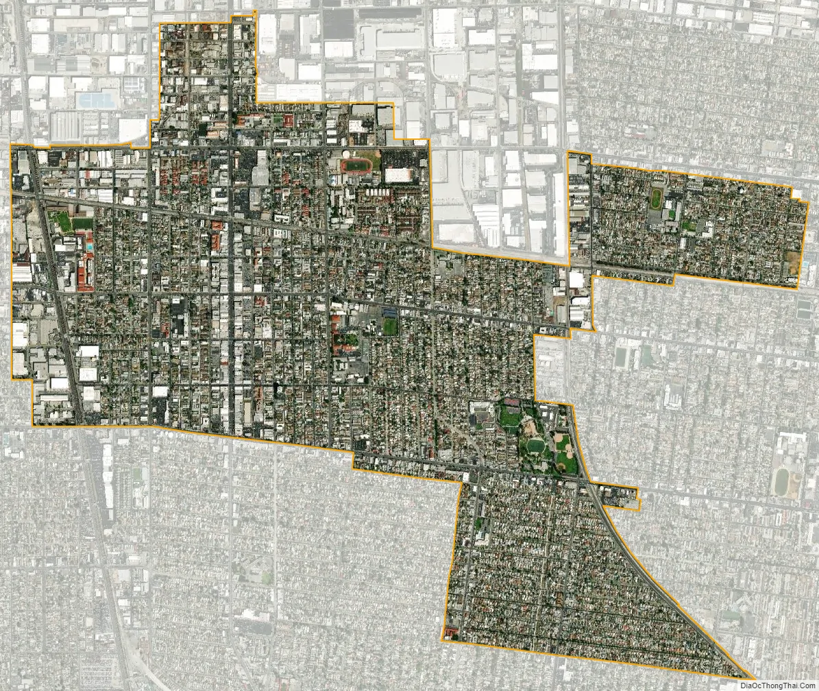
Huntington Park city Satellite Map
Geography
Before California abolished judicial townships (some time after 1960), Huntington Park was located in San Antonio Township.
According to the United States Census Bureau, the city has a total area of 3.0 square miles (7.8 km), all land.
Cities surrounding Huntington Park include Bell, Cudahy, Los Angeles, Maywood, South Gate, and Vernon.
Climate
On average, there are 286 sunny days per year in Huntington Park, California. Annually the snowfall is 0 inches. The July high is around 82 degrees. The January low is 48. As of 2015 the average high temperatures have risen ranging from the low to mid 90s (°F).
See also
Map of California State and its subdivision:- Alameda
- Alpine
- Amador
- Butte
- Calaveras
- Colusa
- Contra Costa
- Del Norte
- El Dorado
- Fresno
- Glenn
- Humboldt
- Imperial
- Inyo
- Kern
- Kings
- Lake
- Lassen
- Los Angeles
- Madera
- Marin
- Mariposa
- Mendocino
- Merced
- Modoc
- Mono
- Monterey
- Napa
- Nevada
- Orange
- Placer
- Plumas
- Riverside
- Sacramento
- San Benito
- San Bernardino
- San Diego
- San Francisco
- San Joaquin
- San Luis Obispo
- San Mateo
- Santa Barbara
- Santa Clara
- Santa Cruz
- Shasta
- Sierra
- Siskiyou
- Solano
- Sonoma
- Stanislaus
- Sutter
- Tehama
- Trinity
- Tulare
- Tuolumne
- Ventura
- Yolo
- Yuba
- Alabama
- Alaska
- Arizona
- Arkansas
- California
- Colorado
- Connecticut
- Delaware
- District of Columbia
- Florida
- Georgia
- Hawaii
- Idaho
- Illinois
- Indiana
- Iowa
- Kansas
- Kentucky
- Louisiana
- Maine
- Maryland
- Massachusetts
- Michigan
- Minnesota
- Mississippi
- Missouri
- Montana
- Nebraska
- Nevada
- New Hampshire
- New Jersey
- New Mexico
- New York
- North Carolina
- North Dakota
- Ohio
- Oklahoma
- Oregon
- Pennsylvania
- Rhode Island
- South Carolina
- South Dakota
- Tennessee
- Texas
- Utah
- Vermont
- Virginia
- Washington
- West Virginia
- Wisconsin
- Wyoming


