Indian Wells is a city in Riverside County, California, United States, in the Coachella Valley. Incorporated in 1967, it lies in between the cities of Palm Desert and La Quinta. As of the 2010 Census, the city population was 4,958.
The city hosts the sixth-largest tennis tournament in the world, the Indian Wells Masters tennis tournament, presently known as the BNP Paribas Open. The Indian Wells Masters is one of nine ATP World Tour Masters 1000 high-level events operated by the Association of Tennis Professionals, and one of the four WTA Premier Mandatory tournaments of the Women’s Tennis Association. It is held at the Indian Wells Tennis Garden, which contains the second-largest tennis-specific stadium in the world.
| Name: | Indian Wells city |
|---|---|
| LSAD Code: | 25 |
| LSAD Description: | city (suffix) |
| State: | California |
| County: | Riverside County |
| Incorporated: | July 14, 1967 |
| Elevation: | 89 ft (27 m) |
| Total Area: | 14.58 sq mi (37.77 km²) |
| Land Area: | 14.32 sq mi (37.09 km²) |
| Water Area: | 0.26 sq mi (0.68 km²) 1.85% |
| Total Population: | 4,958 |
| Population Density: | 382.01/sq mi (147.50/km²) |
| ZIP code: | 92210 |
| FIPS code: | 0636434 |
| Website: | cityofindianwells.org |
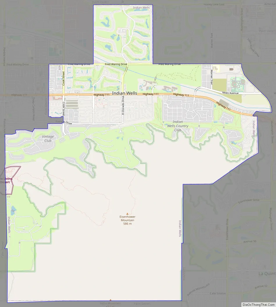
Online Interactive Map
Click on ![]() to view map in "full screen" mode.
to view map in "full screen" mode.
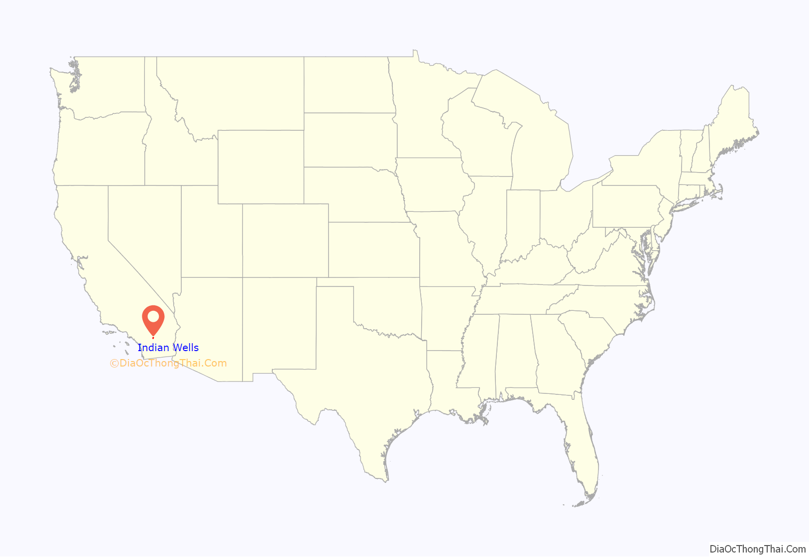
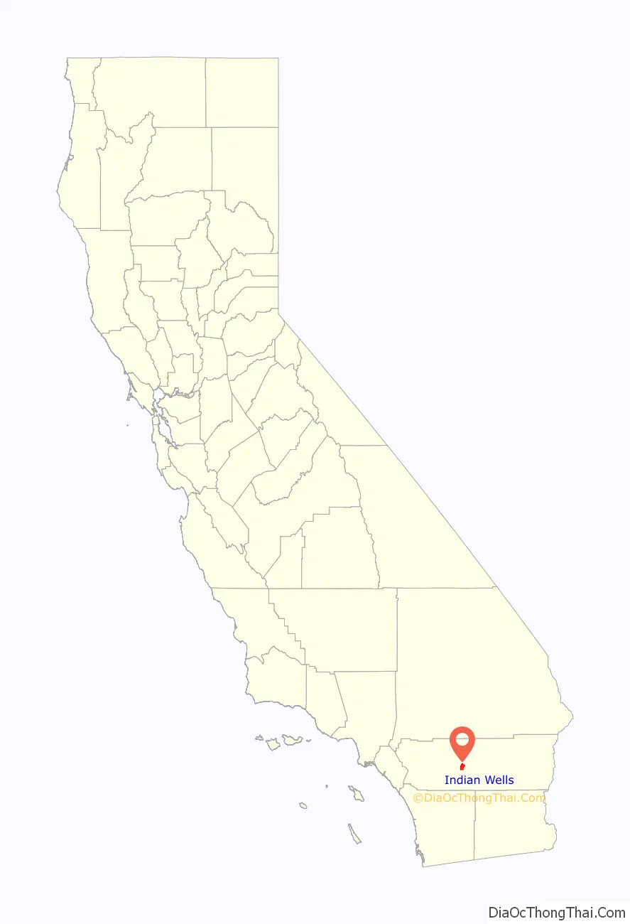
Indian Wells location map. Where is Indian Wells city?
History
As early as 1820, the area now known as Indian Wells was the site of a thriving Indian village, as reported by W.P. Blade, a Smithsonian Institution geologist. A decade later, when gold was discovered on the Colorado River, William D. Bradshaw built a trail from Los Angeles through the desert to the gold mines. The Alexander and Company Stage Line used the trail to transport prospectors and Indian Wells became an important stop along the trail. Competition from the Southern Pacific Railroad caused the route to be abandoned briefly in 1875 before being reactivated by the Wells Fargo company the following year.
Over the next decades, settlers gradually arrived in the area and date palm ranches became profitable. The area’s first golf courses were opened in the 1950s at the Eldorado Country Club and the Indian Wells Country Club. In 1957, Desi Arnaz opened his Indian Wells Hotel (forerunner to the Indian Wells Resort Hotel). In 1960, Arnold Palmer won the first Bob Hope Desert Classic golf tournament. President Dwight D. Eisenhower was a regular Indian Wells visitor and later an Eldorado homeowner.
In an election held June 27, 1967, to avoid being annexed by neighboring cities such as Palm Desert, the inhabitants of Indian Wells voted to incorporate as a city. On July 14, 1967, Indian Wells became California’s 400th city and the 16th in Riverside County. Since then, Indian Wells has continued to grow, with the development of resort hotels, golf courses and luxury residential areas.
Indian Wells Road Map
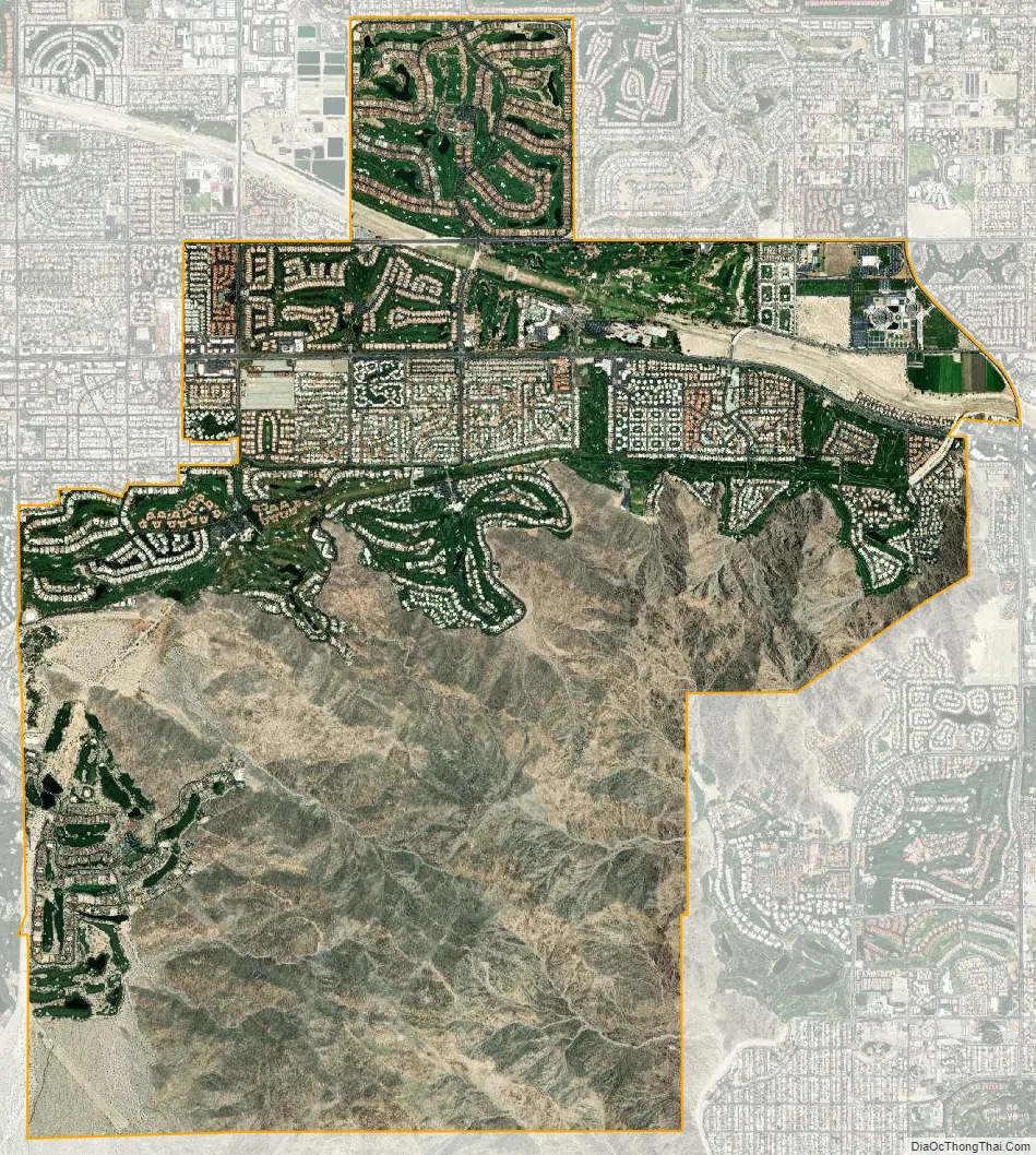
Indian Wells city Satellite Map
Geography
Indian Wells is located at 33°42′57″N 116°20′28″W / 33.71583°N 116.34111°W / 33.71583; -116.34111 (33.715755, −116.341109).
According to the United States Census Bureau, the city has a total area of 14.6 square miles (38 km), of which 14.3 square miles (37 km) is land and 0.3 square miles (0.78 km), comprising 1.85%, is water.
Climate
This climate is dominated in all months by the subtropical anticyclone, or subtropical high, with its descending air, elevated inversions, and clear skies. Such an atmospheric environment inhibits precipitation.
See also
Map of California State and its subdivision:- Alameda
- Alpine
- Amador
- Butte
- Calaveras
- Colusa
- Contra Costa
- Del Norte
- El Dorado
- Fresno
- Glenn
- Humboldt
- Imperial
- Inyo
- Kern
- Kings
- Lake
- Lassen
- Los Angeles
- Madera
- Marin
- Mariposa
- Mendocino
- Merced
- Modoc
- Mono
- Monterey
- Napa
- Nevada
- Orange
- Placer
- Plumas
- Riverside
- Sacramento
- San Benito
- San Bernardino
- San Diego
- San Francisco
- San Joaquin
- San Luis Obispo
- San Mateo
- Santa Barbara
- Santa Clara
- Santa Cruz
- Shasta
- Sierra
- Siskiyou
- Solano
- Sonoma
- Stanislaus
- Sutter
- Tehama
- Trinity
- Tulare
- Tuolumne
- Ventura
- Yolo
- Yuba
- Alabama
- Alaska
- Arizona
- Arkansas
- California
- Colorado
- Connecticut
- Delaware
- District of Columbia
- Florida
- Georgia
- Hawaii
- Idaho
- Illinois
- Indiana
- Iowa
- Kansas
- Kentucky
- Louisiana
- Maine
- Maryland
- Massachusetts
- Michigan
- Minnesota
- Mississippi
- Missouri
- Montana
- Nebraska
- Nevada
- New Hampshire
- New Jersey
- New Mexico
- New York
- North Carolina
- North Dakota
- Ohio
- Oklahoma
- Oregon
- Pennsylvania
- Rhode Island
- South Carolina
- South Dakota
- Tennessee
- Texas
- Utah
- Vermont
- Virginia
- Washington
- West Virginia
- Wisconsin
- Wyoming


