La Quinta (Spanish for ‘the fifth’) is a desert resort city in Riverside County, California, United States. Located between Indian Wells and Indio, it is one of the nine cities of the Coachella Valley. The population was 37,467 at the 2010 census, up from 23,694 at the 2000 census. The Robb Report credits La Quinta as the leading golf destination in the US. Among those destinations is the La Quinta Resort and Club, a resort dating to 1926, where director Frank Capra wrote the screenplay for Lost Horizon. The Tom Fazio-designed golf course at The Quarry at La Quinta is ranked among the top 100 golf courses in the United States. In January 2008, the Arnold Palmer Classic Course at the city’s SilverRock Golf Resort became one of the four host golf courses for the annual Bob Hope Chrysler Classic PGA golf tournament.
| Name: | La Quinta city |
|---|---|
| LSAD Code: | 25 |
| LSAD Description: | city (suffix) |
| State: | California |
| County: | Riverside County |
| Incorporated: | May 1, 1982 |
| Elevation: | 135 ft (41 m) |
| Total Area: | 35.68 sq mi (92.42 km²) |
| Land Area: | 35.26 sq mi (91.32 km²) |
| Water Area: | 0.42 sq mi (1.10 km²) 1.22% |
| Total Population: | 38,181 |
| Population Density: | 1,184.07/sq mi (457.17/km²) |
| ZIP code: | 92253 |
| Area code: | 442/760 |
| FIPS code: | 0640354 |
| Website: | www.laquintaca.gov |
Online Interactive Map
Click on ![]() to view map in "full screen" mode.
to view map in "full screen" mode.
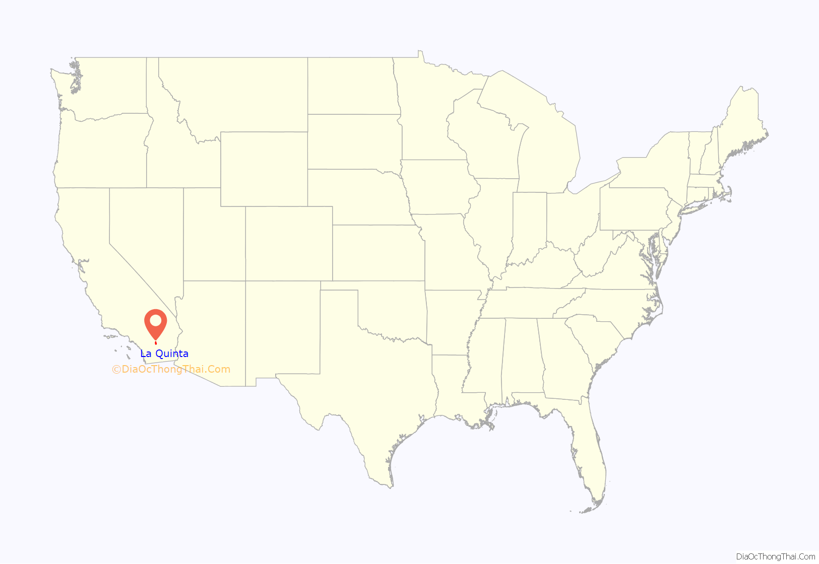
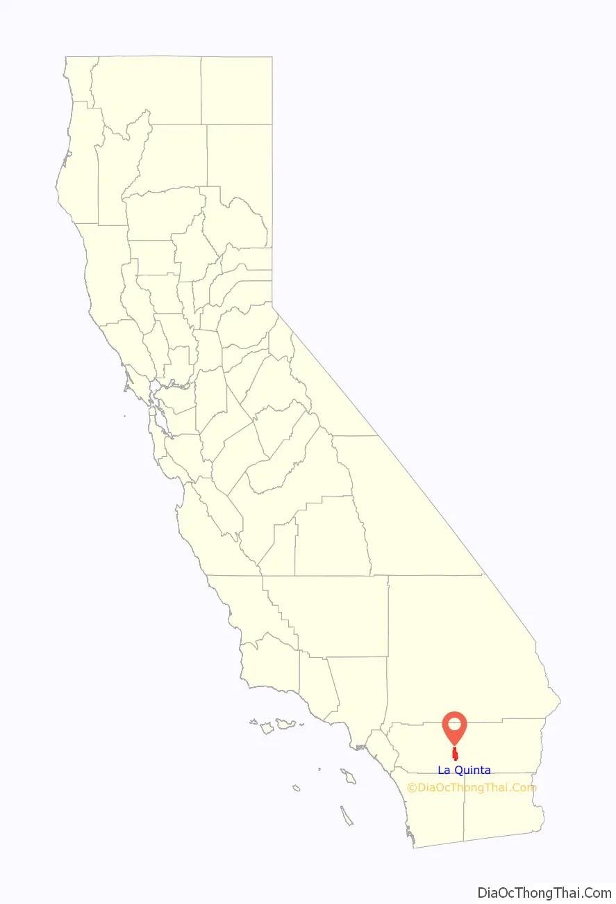
La Quinta location map. Where is La Quinta city?
History
The Cahuilla Indians were the first inhabitants of La Quinta.
In the late-19th century and early-20th century (1880–1920), agriculture developed in present-day La Quinta and “East Valley” by pre-modern (mountain water runoff or open water springs) and modern irrigation techniques. At the time, California and federal land surveyors declared the sand dunes uninhabitable, only the hard rock ground of the “Marshall Cove” held potential farming and residential development.
In 1926, Walter Morgan established the La Quinta Resort at the northern section of Marshall Cove as a type of secluded hideaway for nearby Hollywood’s celebrities and socialites. The Resort was the site for the Coachella Valley’s first golf course, coinciding with the construction and pavement of State Route 111 in the 1930s. Further expansion of Washington Street in the 1950s and 1960s connected La Quinta with US Highways 60 and 99 (became Interstate 10 in the 1970s).
As nearby desert cities grew to capacity, La Quinta’s growth rose dramatically by the mid-1980s, which led to its incorporation as a city in Riverside County in 1982. In the 1980 census, La Quinta had 4,200 residents, then increased to 11,215 by 1990 in the city’s early phases of residential area growth. It was predominantly a part-time community until around that time.
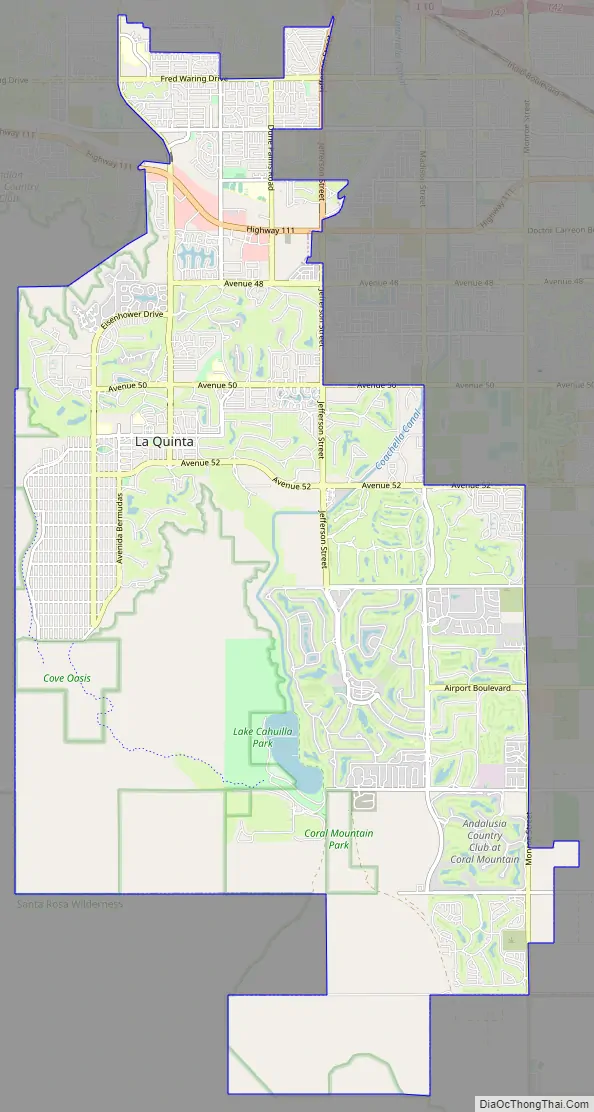
La Quinta Road Map
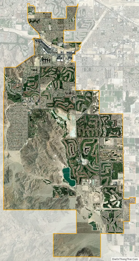
La Quinta city Satellite Map
Geography
According to the United States Census Bureau, the city has a total area of 35.6 square miles (92 km), of which 35.1 square miles (91 km) is land and 0.4 square miles (1.0 km) (1.22%) is water. The city’s elevation is 56 feet (20 m) above sea level.
La Quinta is located on the floor of the Coachella Valley, and is surrounded almost entirely by the Santa Rosa Mountains. As the floor of the valley sank, it was covered by the Pacific Ocean. Silt deposits from the flow of the Colorado River into the Gulf of California caused the basin to be cut off from the ocean. Five hundred years ago, the Colorado River changed its course and the eastern Coachella Valley flooded, leading to the creation of Lake Cahuilla, which was fresh water.
Santa Rosa Mountains
The most prominent feature of the La Quinta area is its Santa Rosa Mountains. Visitors to Disney California Adventure Park in Anaheim, California, and EPCOT at the Walt Disney World Resort in Bay Lake, Florida, are treated to a brief glimpse of the foothills in one of the park’s attractions: Soarin’ Over California. The “Palm Springs” segment of Soarin’ Over California was actually shot at the world-famous PGA West golf complex in La Quinta. The Santa Rosa Mountains (California) are nestled against the golf course and can be seen easily in the segment.
The area is very close to the earthquake-causing San Andreas Fault, with some companies offering jeep tours to the fault line.
Climate
The climate of the Coachella Valley is influenced by the surrounding geography. High mountain ranges on three sides contribute to its unique and year-round warm climate, with some of the warmest winters west of the Rocky Mountains. La Quinta has a warm winter/hot summer climate: Its average annual high temperature is 89.5 °F (31.9 °C) and average annual low is 62.1 °F (16.7 °C) but summer highs above 108 °F (42 °C) are common and sometimes exceed 120 °F (49 °C), while summer night lows often stay above 82 °F (28 °C). Winters are warm with daytime highs often between 68 and 86 °F (20 and 30 °C). Under 4 inches (100 mm) of annual precipitation are average, with over 348 days of sunshine per year. The hottest temperature ever recorded there was 125 °F (52 °C) on July 6, 1905. The mean annual temperature is 75.8 °F (24.3 °C).
Surrounding cities
The estimated 2012 population was 38,075, similar to Palm Springs. La Quinta grew at a higher rate than most other cities in California during the 1990s and 2000s.
La Quinta is in the Coachella Valley and is relatively close to all major cities in that valley, including:
See also
Map of California State and its subdivision:- Alameda
- Alpine
- Amador
- Butte
- Calaveras
- Colusa
- Contra Costa
- Del Norte
- El Dorado
- Fresno
- Glenn
- Humboldt
- Imperial
- Inyo
- Kern
- Kings
- Lake
- Lassen
- Los Angeles
- Madera
- Marin
- Mariposa
- Mendocino
- Merced
- Modoc
- Mono
- Monterey
- Napa
- Nevada
- Orange
- Placer
- Plumas
- Riverside
- Sacramento
- San Benito
- San Bernardino
- San Diego
- San Francisco
- San Joaquin
- San Luis Obispo
- San Mateo
- Santa Barbara
- Santa Clara
- Santa Cruz
- Shasta
- Sierra
- Siskiyou
- Solano
- Sonoma
- Stanislaus
- Sutter
- Tehama
- Trinity
- Tulare
- Tuolumne
- Ventura
- Yolo
- Yuba
- Alabama
- Alaska
- Arizona
- Arkansas
- California
- Colorado
- Connecticut
- Delaware
- District of Columbia
- Florida
- Georgia
- Hawaii
- Idaho
- Illinois
- Indiana
- Iowa
- Kansas
- Kentucky
- Louisiana
- Maine
- Maryland
- Massachusetts
- Michigan
- Minnesota
- Mississippi
- Missouri
- Montana
- Nebraska
- Nevada
- New Hampshire
- New Jersey
- New Mexico
- New York
- North Carolina
- North Dakota
- Ohio
- Oklahoma
- Oregon
- Pennsylvania
- Rhode Island
- South Carolina
- South Dakota
- Tennessee
- Texas
- Utah
- Vermont
- Virginia
- Washington
- West Virginia
- Wisconsin
- Wyoming


