The City of Industry is a city in the San Gabriel Valley, in eastern Los Angeles County, California, United States. The city is almost entirely industrial, containing over 3,000 businesses employing 67,000 people, with only 264 residents as of the 2020 census, making it the third least populous city in the state. It was incorporated on June 18, 1957, and has become the economic hub for the San Gabriel Valley.
| Name: | Industry city |
|---|---|
| LSAD Code: | 25 |
| LSAD Description: | city (suffix) |
| State: | California |
| County: | Los Angeles County |
| Incorporated: | June 18, 1957 |
| Elevation: | 322 ft (98 m) |
| Total Area: | 12.06 sq mi (31.24 km²) |
| Land Area: | 11.78 sq mi (30.52 km²) |
| Water Area: | 0.28 sq mi (0.72 km²) |
| Total Population: | 219 |
| Population Density: | 17.14/sq mi (6.62/km²) |
| ZIP code: | 90601, 91714-91716, 91732, 91744-91746, 91748, 91789 |
| FIPS code: | 0636490 |
| Website: | www.cityofindustry.org |
Online Interactive Map
Click on ![]() to view map in "full screen" mode.
to view map in "full screen" mode.
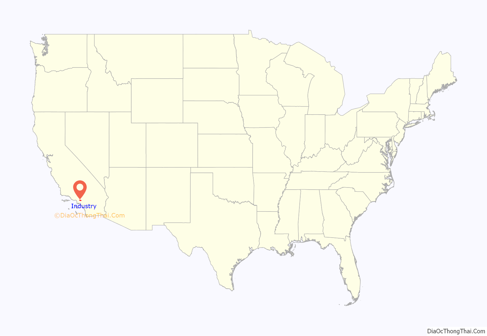
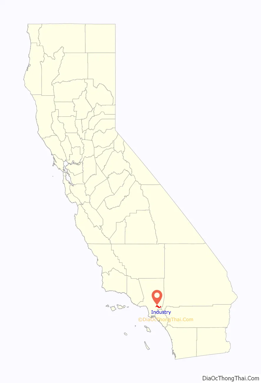
Industry location map. Where is Industry city?
History
In 1841, William and Nicolasa Workman, who emigrated with John Rowland and others, received a land grant for Rancho La Puente from the governor of Alta California, Juan Bautista Alvarado. The ranch eventually grew to almost 49,000 acres. The Workmans quickly established themselves as cattle ranchers and did well financially during the Gold Rush, supplying fresh beef to the gold fields. Following the discovery of oil by their son on land they owned in the Montebello hills, the Workmans’ grandson, Walter P. Temple, and his wife, Laura, bought the Workman House and surrounding land in 1917. This property is now known as the Workman and Temple Family Homestead Museum and is a museum and heritage site in present-day City of Industry that is free and open to the public. In the 1910s, Tract 1343 was created and shows a large portion of 2017’s City boundaries.
The City of Industry was incorporated as a charter city on June 18, 1957. A little under fifteen years from its incorporation, the City of Industry created a general plan to guide its future development. The 1971 document remains in effect as of 2020, nearly a half century later. The plan was overseen by planning consultants Gruen Associates, a firm established in 1950 by Austrian-born Victor Gruen, a visionary architect and urban planner.
The City of Industry was named for the goals and objectives section of the general plan which identified the primary goal of the city as “creating and maintaining an ideal setting for manufacturing, distribution and industrial facilities.”
In 1962, the City of Industry Chamber of Commerce formed and in 1974, the Workman House became a historical landmark. In 1979/1980 a former landfill near Azusa Avenue was converted into the Industry Hills Golf Club, including a hotel and the Eisenhower golf course. In 1981, the Industry Hills Expo Center opened as a community multi-purpose event facility.
In 1985, the inaugural Charity Pro Rodeo took place, to raise funds for youth in the San Gabriel Valley. The Rodeo still takes place annually. In 1991, in partnership with the Los Angeles County Sheriff’s Department, the Youth Activities League was formed to offer sports to at-risk children as an alternative to gang activity.
In recognition of the importance of mass transit, the city invested heavily in the development of a Metrolink transit station near the confluence of the 60 and 57 freeways and in 1993, the City of Industry Metrolink Station opened. In 2004, the Environmental Impact Report and Design for the 57/60 Confluence Project was completed. The three-phased program of improvements consists of ramp and interchange reconfigurations as well as the addition of bypass lanes to reduce weaving, resulting in less congestion for the sixth-worst congested and dangerous freeway interchange in the nation.
Industry Road Map

Industry city Satellite Map

Geography
The City of Industry is located 17.6 miles (28.4 km) east of Los Angeles. According to the United States Census Bureau, the city has a total area of 12.07 square miles (31.3 km), of which 11.79 square miles (30.5 km) of it is land and 0.28 square miles (0.73 km) of it (2.32%) is water.
See also
Map of California State and its subdivision:- Alameda
- Alpine
- Amador
- Butte
- Calaveras
- Colusa
- Contra Costa
- Del Norte
- El Dorado
- Fresno
- Glenn
- Humboldt
- Imperial
- Inyo
- Kern
- Kings
- Lake
- Lassen
- Los Angeles
- Madera
- Marin
- Mariposa
- Mendocino
- Merced
- Modoc
- Mono
- Monterey
- Napa
- Nevada
- Orange
- Placer
- Plumas
- Riverside
- Sacramento
- San Benito
- San Bernardino
- San Diego
- San Francisco
- San Joaquin
- San Luis Obispo
- San Mateo
- Santa Barbara
- Santa Clara
- Santa Cruz
- Shasta
- Sierra
- Siskiyou
- Solano
- Sonoma
- Stanislaus
- Sutter
- Tehama
- Trinity
- Tulare
- Tuolumne
- Ventura
- Yolo
- Yuba
- Alabama
- Alaska
- Arizona
- Arkansas
- California
- Colorado
- Connecticut
- Delaware
- District of Columbia
- Florida
- Georgia
- Hawaii
- Idaho
- Illinois
- Indiana
- Iowa
- Kansas
- Kentucky
- Louisiana
- Maine
- Maryland
- Massachusetts
- Michigan
- Minnesota
- Mississippi
- Missouri
- Montana
- Nebraska
- Nevada
- New Hampshire
- New Jersey
- New Mexico
- New York
- North Carolina
- North Dakota
- Ohio
- Oklahoma
- Oregon
- Pennsylvania
- Rhode Island
- South Carolina
- South Dakota
- Tennessee
- Texas
- Utah
- Vermont
- Virginia
- Washington
- West Virginia
- Wisconsin
- Wyoming


