Inglewood is a city in southwestern Los Angeles County, California, United States, in the Los Angeles metropolitan area. As of the 2020 U.S. Census, the city had a population of 107,762. It was incorporated on February 14, 1908. The city is in the South Bay region of Los Angeles County, near Los Angeles International Airport.
| Name: | Inglewood city |
|---|---|
| LSAD Code: | 25 |
| LSAD Description: | city (suffix) |
| State: | California |
| County: | Los Angeles County |
| Incorporated: | February 7, 1908 |
| Elevation: | 131 ft (40 m) |
| Total Area: | 9.09 sq mi (23.55 km²) |
| Land Area: | 9.07 sq mi (23.49 km²) |
| Water Area: | 0.03 sq mi (0.06 km²) 0.27% |
| Total Population: | 107,762 |
| Population Density: | 12,000/sq mi (4,600/km²) |
| FIPS code: | 0636546 |
| Website: | www.cityofinglewood.org |
Online Interactive Map
Click on ![]() to view map in "full screen" mode.
to view map in "full screen" mode.
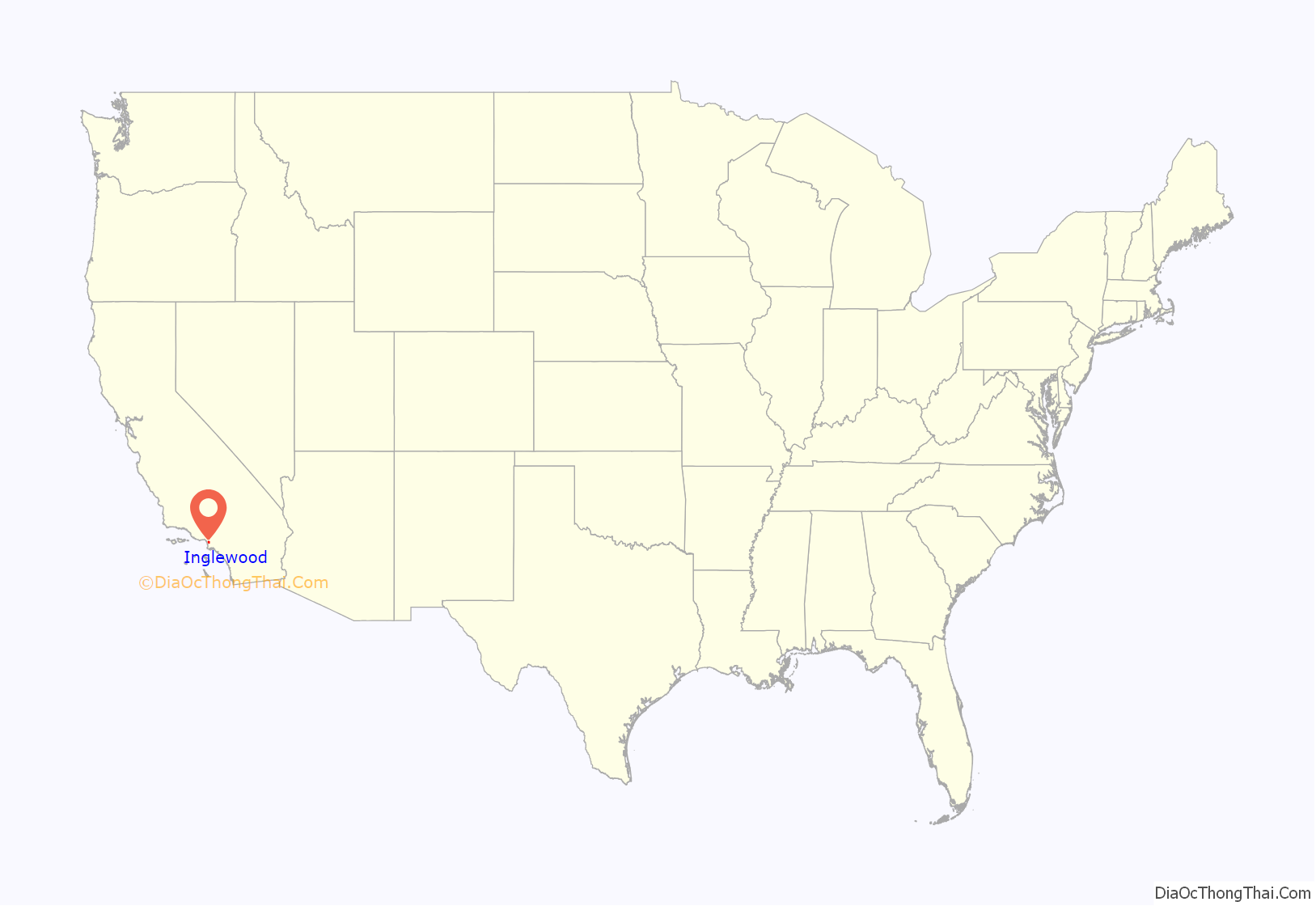
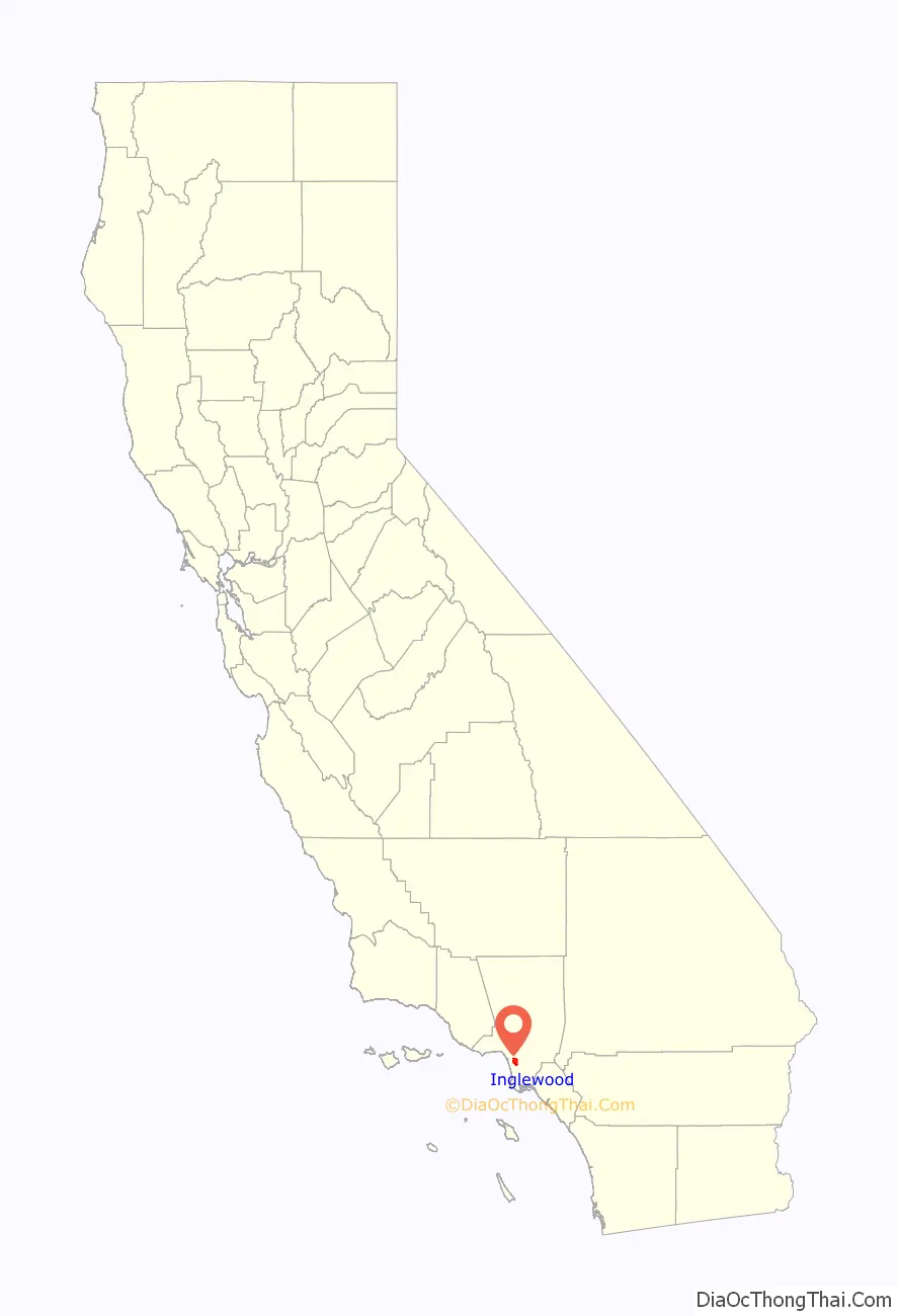
Inglewood location map. Where is Inglewood city?
History
The earliest residents of what is now Inglewood were Native Americans who used the Aguaje de Centinela natural springs in today’s Edward Vincent Jr. Park (known for most of its history as Centinela Park). Local historian Gladys Waddingham wrote that these springs took the name Centinela from the hills that rose gradually around them, and which allowed ranchers to watch over their herds,” (thus the name centinelas or sentinels).
Spanish era
The original settlers of Los Angeles in 1781, one of whom was Spanish soldier Jose Manuel Orchado Machado, “a 23-year-old muleteer from Los Alamos in Sinaloa”. These settlers, she wrote, were ordered by the officials of the San Gabriel Mission “to graze their animals on the ocean side of Los Angeles in order not to infringe on mission lands.” As a result, the settlers, or pobladores, drove some of their cattle to the “lush pasture lands near Centinela Springs”, and the first construction there was done by Bruno Ygnacio Ávila, who received a permit in 1822 to build a “corral and hut for his herders.” The area that is now Inglewood was divided into two rancho grants: Rancho Sausal Redondo and Rancho Aguaje de la Centinela.
Mexican era
Later, Avila constructed a three-room adobe house on a slight rise overlooking the creek that ran from Centinela Springs all the way to the ocean. According to the LAOkay web site, this adobe was built where the present baseball field is in the park. It no longer exists.
In 1834, Ygnacio Machado, one of the sons of Jose Machado, built the Centinela Adobe, which sits on a rise above the present Interstate 405 (San Diego Freeway) and is used as the headquarters of the Centinela Valley Historical Society. Two years later, Ygnacio was granted the 2,220-acre (9.0 km) Rancho Aguaje de la Centinela, though this land had already been claimed by Avila.
American era
Daniel Freeman acquired the rancho and was a founder of the Centinela-Inglewood Land Company in 1887, which developed the city. That year it was reported that:
Inglewood Park Cemetery, a widely used cemetery for the entire region, was founded in 1905. The city has been home to the Hollywood Park Racetrack from 1938 to 2013, one of the premier horse racing venues in the United States. Fosters Freeze, the first soft serve ice cream chain in California, was founded by George Foster in 1946 in Inglewood. Inglewood was named an All-America City by the National Civic League in 1989 and yet again in 2009 for its visible progress.
The Ku Klux Klan had a presence in Inglewood in the 1920s, with the most notable event being the 1922 raid, the Klan had a chapter in Inglewood as late as October 1931.
Labor troubles became a serious issue in 1941. From August 1939 to June 1941, Stalin and Hitler supported each other as war raged in Europe. In the U.S., Communist local union officials opposed American aid to Britain’s war against Germany. They called strikes in war industries that were supplying Lend-Lease materiel to Britain. The United Auto Workers (UAW) won the election over the International Association of Machinists and represented all the employees at the North American Aviation factory in Inglewood. UAW negotiators demanded a starting pay of 75 cents an hour, plus a 10-cent raise for the 11,000 current employees. The UAW had made a no-strike pledge, but suddenly a wildcat strike on June 4 closed the plant that produced a fourth of the nation’s fighter planes. The UAW was unable to get the workers to return, when Washington intervened. With the approval of national CIO leadership, President Franklin Roosevelt sent in the California national guard to reopen the plant. When Germany suddenly invaded the USSR in late June 1941, though, the Communist activists suddenly became the strongest supporters of war production; they crushed wildcat strikes.
“No blacks had ever lived in Inglewood”, Gladys Waddingham wrote, but by 1960, “they lived in great numbers along its eastern borders. This came to the great displeasure of the predominantly white residents already residing in Inglewood. In 1960, the census counted only 29 “Negroes” among Inglewood’s 63,390 residents. Not a single black child attended the city’s schools. Real-estate agents refused to show homes to blacks. A rumored curfew kept blacks off the streets at night. Inglewood was a prime target because of its previous history of restrictions.” “Fair housing and school busing were the main problems of 1964. The schools were not prepared to handle racial incidents, even though any that occurred were very minor. Adults held many heated community meetings, since the blacks objected to busing as much as did the whites.” In 1969, an organization called “Morningside Neighbors” changed its name to “Inglewood Neighbors” “in the hope of promoting more integration.”
On February 3, 1969, Harold P. Moret (of Louisiana Creole ancestry) became Inglewood’s first black police officer. A year later, Jimmy Lee Worsham became the second. He was followed by Barbara Harris, the first black female officer, then Otis Hendricks, Melvin Lovelace, and Eugene Lindsey. The seventh black officer was James T. Butts Jr. He became Inglewood’s first black motorcycle traffic-enforcement officer, first black lieutenant and captain, and only black deputy chief in the history of the department. In September 1991 at the age of 38, Butts became the first person of color to command the Santa Monica Police Department as chief of police, and the youngest to do so.
On July 22, 1970, Los Angeles Superior Court Judge Max F. Deutz ordered Inglewood schools to desegregate in response to a suit filed by 19 parents. At least since 1965, said Deutz, the Inglewood school board had been aware of a growing influx of black families into its eastern areas, but had done nothing about the polarization of its pupils into an eastern black area and a western white one. On August 31, he rejected an appeal by four parents who said the school board was not responsible for the segregation, but that the blacks “selected their places of residence by voluntary choice.”
The first black principal among the 18 Inglewood schools was Peter Butler at La Tijera Elementary, and in 1971, the “Stormy racial meetings in 1971” included a charge by “some real estate men in the overflowing Crozier Auditorium” that the Human Relations Commission was acting like “the Gestapo”. In that year, Loyd Sterling Webb, president of Inglewood Neighbors, became the first black officeholder when voters elected him to the school board.
In 1972, Curtis Tucker, Sr., was appointed as the first black city council member. That year, composer LeRoy Hurte, an African-American, took the baton of the Inglewood Symphony Orchestra and continued to work with it for 20 years. Edward Vincent Jr. became Inglewood’s first black mayor in 1983. In that decade, whites left the city in increasing numbers, and Inglewood became the first city in California to declare the birthday of Martin Luther King Jr. a holiday. Since the term of Edward Vincent Jr. (1983–1997), Inglewood has consecutively elected African-American mayors: Roosevelt F. Dorn (1997–2010), Danny Tabor (2010–2011), and James T. Butts Jr. (2011–present).
The 1990 census showed that Latinos in Inglewood had increased by 134% since 1980, the largest jump in the South Bay. Economic factors apparently played a role in where new arrivals settled, said David Heer, a USC professor of sociology and associate director of the university’s Population Research Laboratory. “Housing is generally less expensive here than elsewhere . . . and I would say that they receive a warmer welcome here”, said Norm Cravens, assistant city manager in Inglewood, where the white population dropped from nearly 21% in 1980 to 8.5% in 1990.
In the 2000 census, blacks made up 47% of the city’s residents (53,060 people), and Latinos comprised 46% (51,829), but the Census Bureau estimated that in 2007, the percentage of blacks had declined to 41% (48,252) and that Latinos were at 52.5% (61,847). The white population declined from 19 (21,505) to 17.7% (20,853).
That year, though, only one of the city’s five city council members was Latino: Jose Fernandez. No Latinos were on the five-member board of education.
Religious history
In 2007, the area served by the Inglewood post office (including Lennox) had 98 churches, temples, mosques, chapels and other houses of worship, according to the AreaConnect.com website.
The first church service was held on April 22, 1888, in the Inglewood House hotel on Commercial Street (today’s La Brea Avenue), popularly called Mrs. Belden’s Boarding House, when Inglewood had only 300 residents and 112 registered voters. Later, services were in Bucephalus Hall, but eventually the congregation moved to Hyde Park, which left Inglewood with no church. On January 19, 1890, Inglewood’s first permanent church – Presbyterian – was established on Market Street. A bit later, the [United] Brethren constructed a building on South Market Street.
In 1907, a group of Episcopalians began services in a private home, and a few years later, the first Catholic services were held in Bank Hall. In 1910, the Presbyterians moved their two buildings, a sanctuary and a manse, to the corner of Grevillea and Nutwood “because the streetcars [on Market Street] were so noisy and threw so much dust and sand fleas in the windows.”
In 1923, St. John Chrysostom Catholic Church was founded. The current church at the intersection of Centinela and Florence was built in 1959 and is the tallest point in the city. It is the largest congregation in the city, consisting of almost 10,000 registered families. Next door is St. John Chrysostom School, educating children since 1927 from prekindergarten through eighth grade.
The Methodists had built a structure at Manchester and La Brea, but in 1940, they moved to a new building at Kelso and Spruce.
2016 killing of Marquintan Sandlin and Kisha Michael
The deaths of Kisha Michael, 31, a single mother of three sons, and Marquintan Sandlin, 32, a single father of four daughters, occurred on February 21, 2016, when police responded to a call of a suspicious vehicle parked on Manchester Boulevard around 3:10 am. When police arrived, they engaged in a 45-minute-long standoff before opening fire on the man and the armed woman inside the vehicle, killing them both. Michael was shot 13 times and pronounced dead at the scene. Sandlin was shot eight times and died at a hospital shortly thereafter.
Law enforcement officials involved in the shooting have claimed that Michael had a gun in her lap, although authorities have not stated whether either victim reached for or touched the weapon. No one has indicated that the victims’ vehicle was used in a violent manner toward the officers. Mayor James T. Butts Jr. said that the couple was unconscious when police first encountered them.
After an investigation, the City of Inglewood fired the five officers involved in the shooting in May 2017, while the district attorney’s office had yet to reach a decision regarding criminal liability of those officers.
Trash-hauling pact
In 2018, an investigation began into a 2012 trash-hauling contract valued at $100 million; it went to a bidder with connections to current mayor James T. Butts. The bidder, Consolidated Disposal Services, secured the contract soon after hiring Michael Butts, brother of Mayor Butts, as an operations manager. Consolidated continues to provide garbage collection services as of 2023.
Inglewood Road Map

Inglewood city Satellite Map

Geography
According to the United States Census Bureau, the city has a total area of 9.1 square miles (24 km). Downtown Inglewood is 4.15 miles (6.68 km) from Los Angeles International Airport (LAX). It is part of the Los Angeles-Long Beach-Anaheim metropolitan statistical area.
Neighborhoods
Inglewood consists of 10 neighborhoods that are indicated by symbols on street signs. The neighborhoods are: Morningside Park, Downtown Inglewood, Fairview Heights, Arbor Village, Hollypark Knolls, Centinela Heights, Century Heights, Inglewood Knolls, and Lockhaven.
The Crenshaw-Imperial district was a later annexation to Inglewood, California. It has its own branch public library and an important shopping center for the area. (Also see Inglewood Knolls)
Morningside Park is a commercial district in the eastern part of the city. Though the city of Inglewood does not define the district’s boundaries, it may be delineated by Hyde Park on the north, Manchester Square on the east, Century Boulevard on the south and Prairie Avenue on the west. The major streets that run through the area are Manchester and Crenshaw boulevards. It is six miles (10 km) from Los Angeles International Airport and about two miles (3 km) from SoFi Stadium, the home of the NFL’s Los Angeles Rams and the Los Angeles Chargers. The district is also the location of Kia Forum, an entertainment venue and where for 32 years the NBA’s Los Angeles Lakers and NHL’s Los Angeles Kings played and The Village at Century shopping center. This neighborhood was once the site of the Hollywood Park Racetrack. It is also the home to three gated-communities called Carlton Square, Briarwood Village & The Renaissance.
North Inglewood is a neighborhood north of the former Santa Fe railroad tracks, where the K Line currently is. In 2009, it was reported to be the site of a “burgeoning arts scene” at East Hyde Park Boulevard and La Brea Avenue. Fairview Heights is a signed area north of Florence and east of La Brea Avenues.
Situated in the southeastern corner of the city, Inglewood Knolls is a subdivision of tract homes built in 1953–54. It is bordered by Crenshaw Blvd. on the west, 108th St. on the north, Spinning Ave. on the east, and Imperial Highway on the south. A shopping center on the northeastern quadrant of the intersection of Crenshaw and Imperial was also constructed in the mid-1950s, originally including a Food Giant grocery store, Thrifty Drug, J.J. Newberrys, and Lishon’s Music Store, among others. Century Park Elementary School on Spinning Ave., although fully within Inglewood city limits, is actually part of the L.A. school district.
Climate
See also
Map of California State and its subdivision:- Alameda
- Alpine
- Amador
- Butte
- Calaveras
- Colusa
- Contra Costa
- Del Norte
- El Dorado
- Fresno
- Glenn
- Humboldt
- Imperial
- Inyo
- Kern
- Kings
- Lake
- Lassen
- Los Angeles
- Madera
- Marin
- Mariposa
- Mendocino
- Merced
- Modoc
- Mono
- Monterey
- Napa
- Nevada
- Orange
- Placer
- Plumas
- Riverside
- Sacramento
- San Benito
- San Bernardino
- San Diego
- San Francisco
- San Joaquin
- San Luis Obispo
- San Mateo
- Santa Barbara
- Santa Clara
- Santa Cruz
- Shasta
- Sierra
- Siskiyou
- Solano
- Sonoma
- Stanislaus
- Sutter
- Tehama
- Trinity
- Tulare
- Tuolumne
- Ventura
- Yolo
- Yuba
- Alabama
- Alaska
- Arizona
- Arkansas
- California
- Colorado
- Connecticut
- Delaware
- District of Columbia
- Florida
- Georgia
- Hawaii
- Idaho
- Illinois
- Indiana
- Iowa
- Kansas
- Kentucky
- Louisiana
- Maine
- Maryland
- Massachusetts
- Michigan
- Minnesota
- Mississippi
- Missouri
- Montana
- Nebraska
- Nevada
- New Hampshire
- New Jersey
- New Mexico
- New York
- North Carolina
- North Dakota
- Ohio
- Oklahoma
- Oregon
- Pennsylvania
- Rhode Island
- South Carolina
- South Dakota
- Tennessee
- Texas
- Utah
- Vermont
- Virginia
- Washington
- West Virginia
- Wisconsin
- Wyoming


